Càrn na Frith Àird
Coastal Feature, Headland, Point in Ross-shire
Scotland
Càrn na Frith Àird
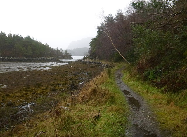
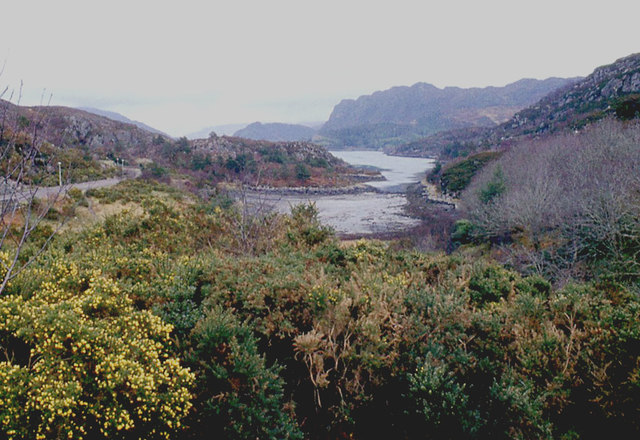
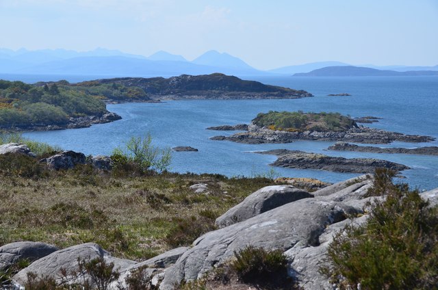
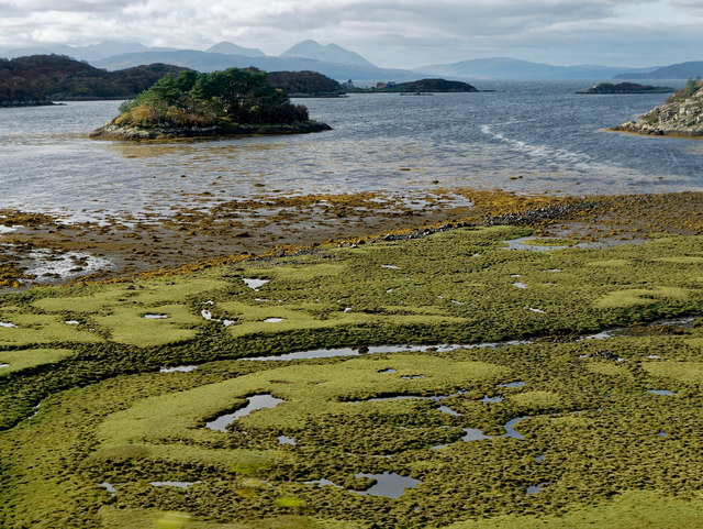
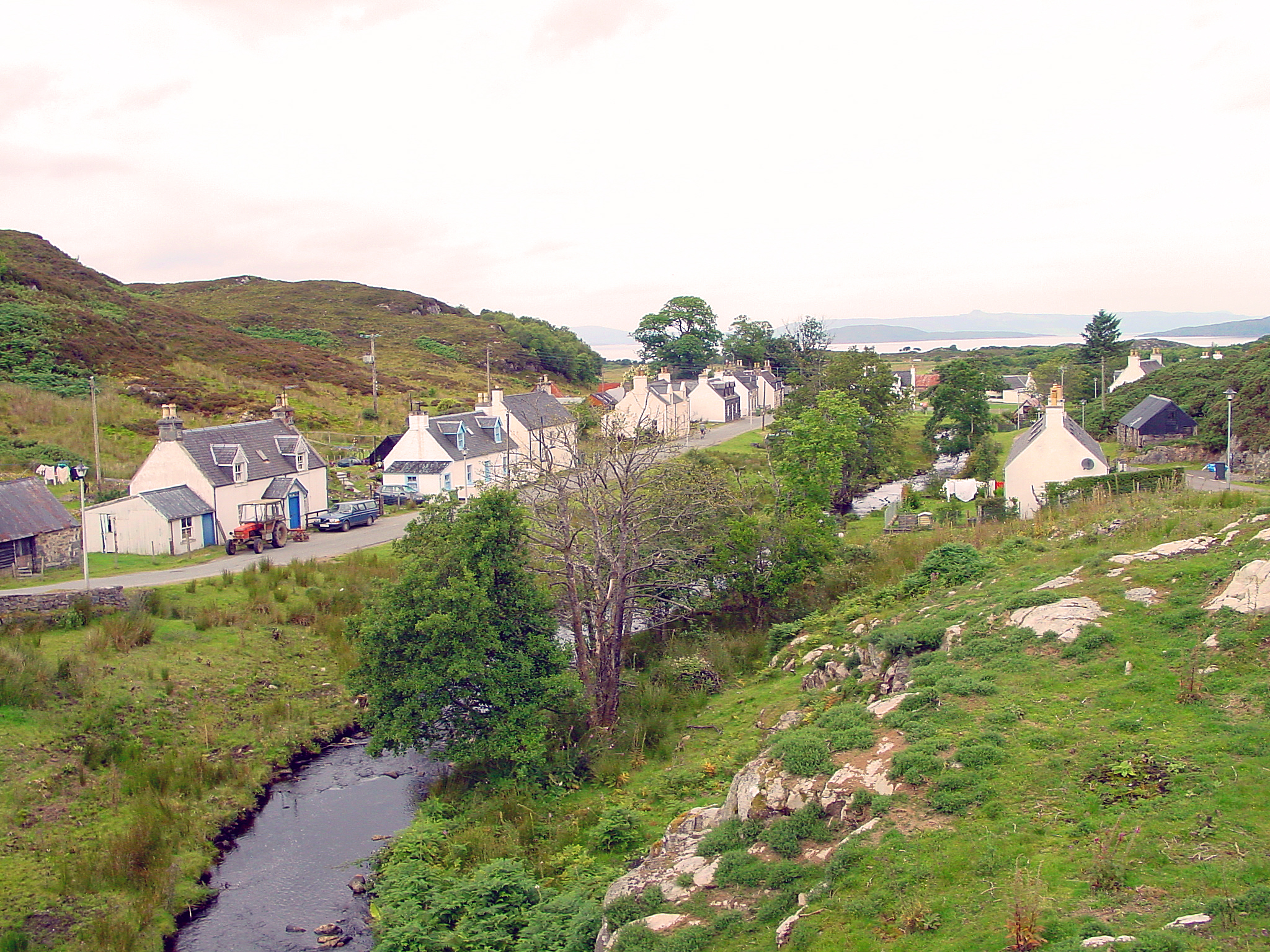
Càrn na Frith Àird is a prominent coastal feature located in Ross-shire, Scotland. This headland, also known as a point, is situated on the northwestern coast of the country, overlooking the North Atlantic Ocean. It lies approximately 6 miles northeast of the town of Ullapool.
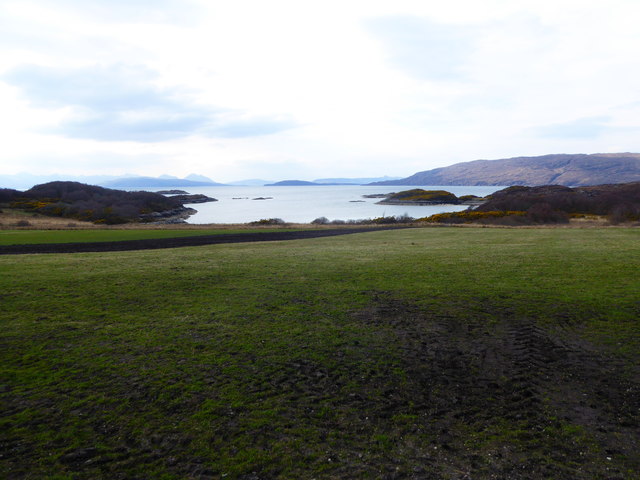
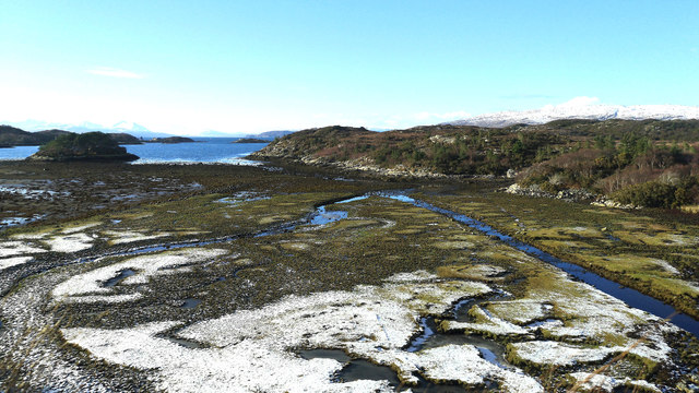
Rising to an elevation of 240 meters (787 feet), Càrn na Frith Àird offers stunning panoramic views of the surrounding rugged coastline and the vast expanse of the ocean. Its position provides an ideal vantage point for observing the diverse marine life that inhabits the waters below, including seals, dolphins, and occasionally whales.
The headland's topography consists of steep cliffs, which have been shaped by the relentless forces of wind and waves over centuries. These cliffs are composed of ancient rocks, predominantly sandstone and conglomerate, adding to the geological interest of the site. The area surrounding Càrn na Frith Àird is also characterized by rocky coves, small beaches, and occasional sea stacks that further contribute to its scenic beauty.
Due to its exposed location, the headland is subject to strong winds and rough seas, making it popular among outdoor enthusiasts, hikers, and birdwatchers. The surrounding coastal heathland provides a habitat for various bird species, including seabirds such as fulmars, kittiwakes, and guillemots.
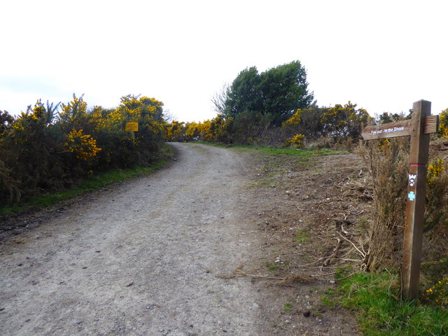
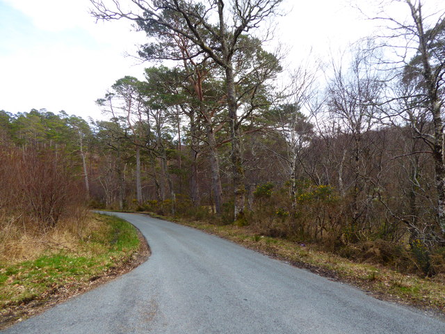
Càrn na Frith Àird is accessible via a network of coastal paths and offers a remarkable opportunity to experience the raw beauty of Scotland's northwest coast. Visitors can enjoy breathtaking views, observe wildlife, and immerse themselves in the dramatic coastal landscape that characterizes this area of Ross-shire.
If you have any feedback on the listing, please let us know in the comments section below.
Càrn na Frith Àird Images
Images are sourced within 2km of 57.342487/-5.6580928 or Grid Reference NG7933. Thanks to Geograph Open Source API. All images are credited.


Càrn na Frith Àird is located at Grid Ref: NG7933 (Lat: 57.342487, Lng: -5.6580928)
Unitary Authority: Highland
Police Authority: Highlands and Islands
What 3 Words
///sues.clear.simulator. Near Kyleakin, Highland
Nearby Locations
Related Wikis

Plockton
Plockton (Scottish Gaelic: Am Ploc/Ploc Loch Aillse) is a village in the Lochalsh, Wester Ross area of the Scottish Highlands with a 2020 population of...

Plockton High School
Plockton High School is a 221-pupil high school in the village of Plockton, Scotland. The catchment area for the school stretches from Applecross in the...

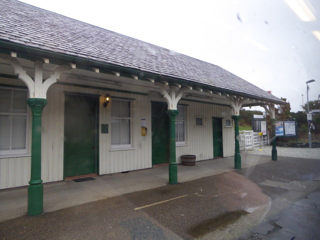
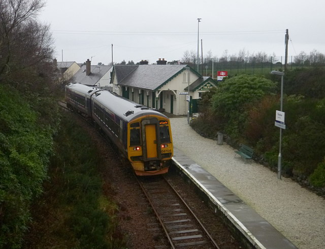
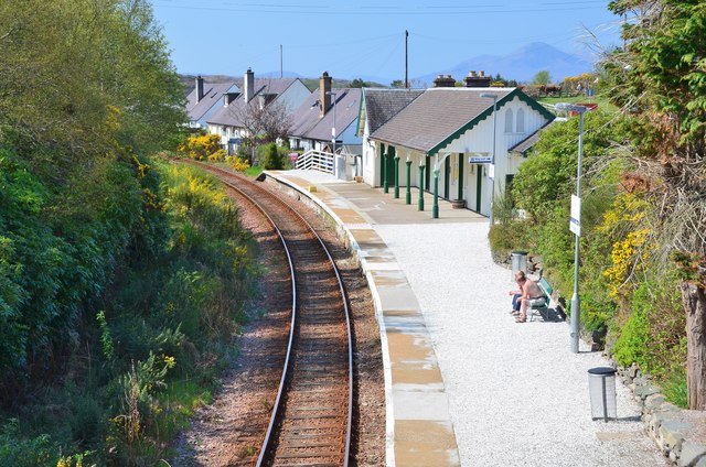
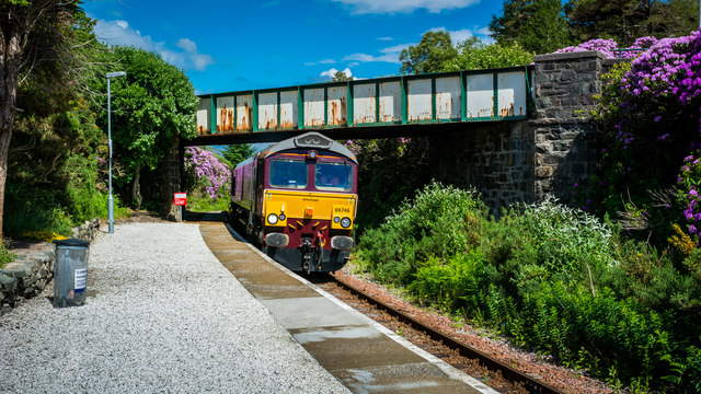
Plockton railway station
Plockton railway station is a railway station on the Kyle of Lochalsh Line, serving the village of Plockton in the Highlands, north-west Scotland. The...

Duncraig railway station
Duncraig railway station is a remote railway station by the shore of Loch Carron on the Kyle of Lochalsh Line, originally (privately) serving Duncraig...

Duncraig Castle
Duncraig Castle is a mansion in Lochalsh, in the west of the Scottish Highlands. A category-C listed building, it is situated in the Highland council area...

Port an Eòrna
Port an Eòrna is the Scottish Gaelic name for the small settlement of Barleyport, situated almost midway between Plockton and the Kyle of Lochalsh, in...

Duirinish railway station
Duirinish railway station is a remote railway station on the Kyle of Lochalsh Line near the settlement of Duirinish in the Highlands, northern Scotland...
Duirinish, Lochalsh
Duirinish (Scottish Gaelic: Diùirinis) is a hamlet in Lochalsh near Plockton in Ross-shire, Scottish Highlands and is in the Scottish council area of Highland...
Nearby Amenities
Located within 500m of 57.342487,-5.6580928Have you been to Càrn na Frith Àird?
Leave your review of Càrn na Frith Àird below (or comments, questions and feedback).