Am Ploc
Settlement in Ross-shire
Scotland
Am Ploc
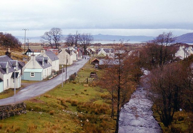
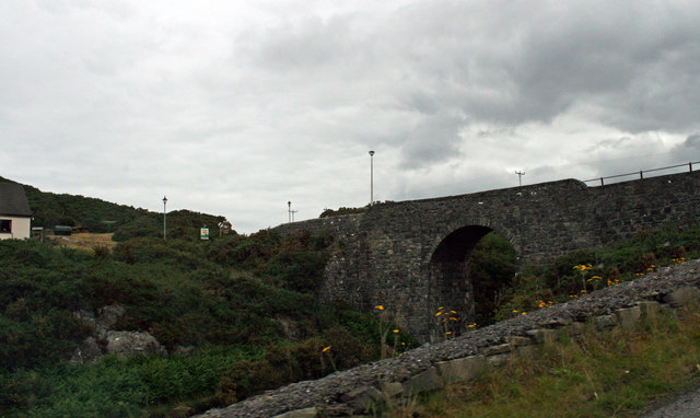
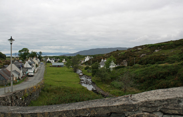
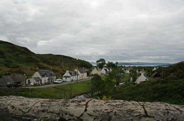
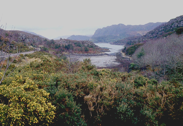
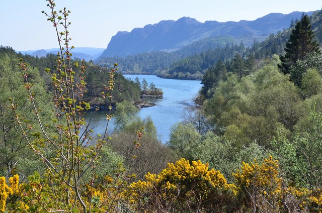
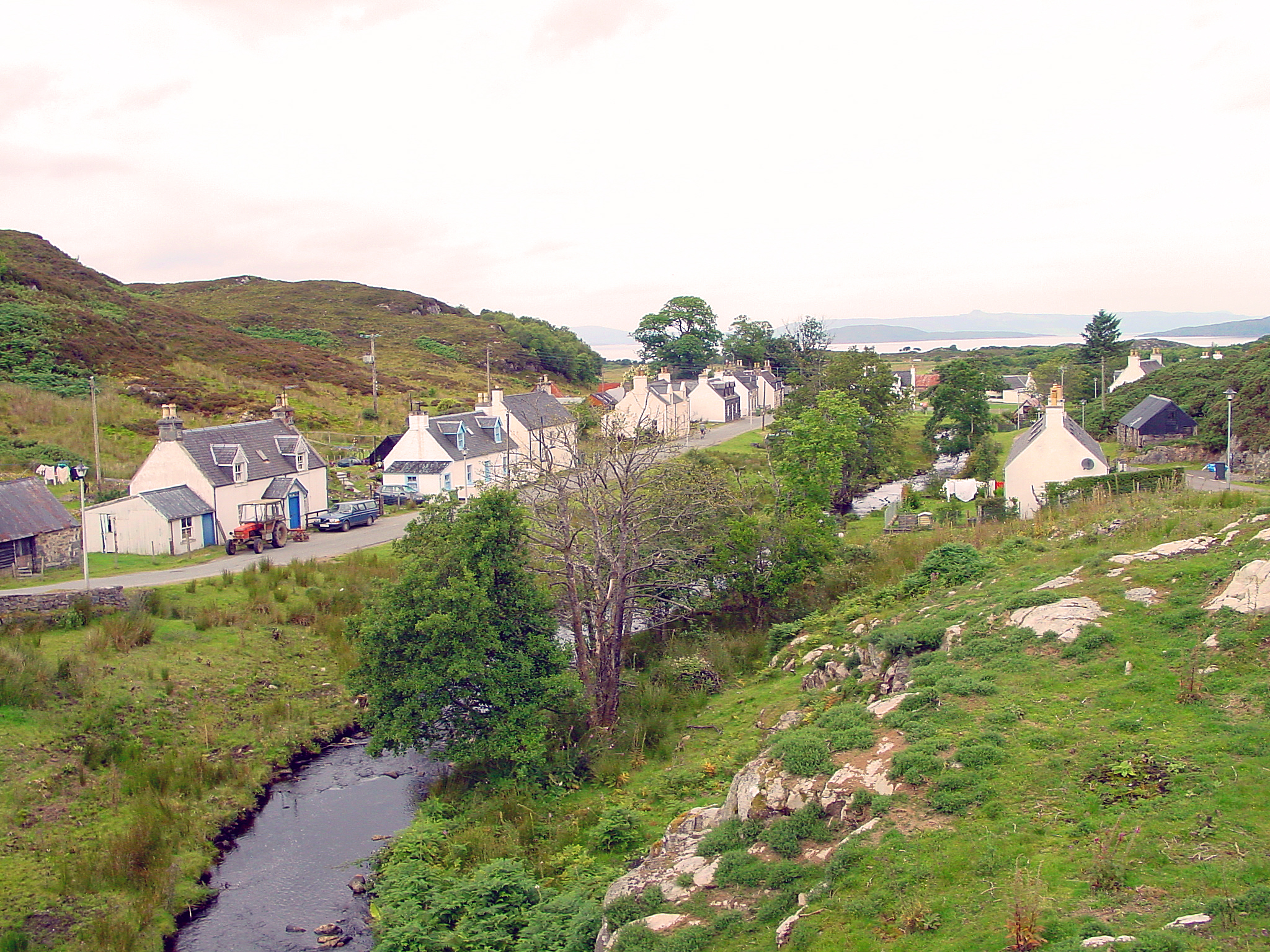
Am Ploc is a small village located in the historic county of Ross-shire, Scotland. Situated on the northern coast of the country, it lies approximately 15 miles northeast of the town of Dingwall. The village is nestled between the rolling hills of the Scottish Highlands and the picturesque shores of the North Sea.
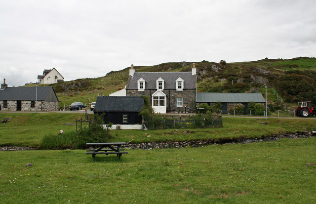
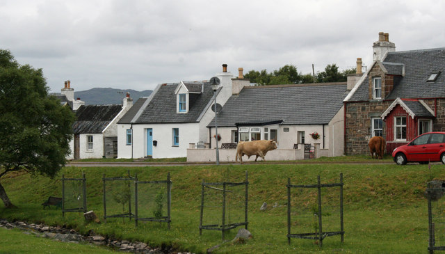
With a population of around 500 residents, Am Ploc exudes a tranquil and close-knit community atmosphere. Its scenic surroundings offer breathtaking views, making it an attractive destination for nature enthusiasts and those seeking a peaceful retreat. The village is surrounded by lush green landscapes, dotted with quaint cottages and traditional stone-built houses.
Am Ploc boasts a rich history, evident in its architecture and cultural heritage. The local church, dating back to the 18th century, stands as a testament to the village's historical significance. Additionally, remnants of ancient settlements and burial mounds can be found nearby, providing insight into the area's past.
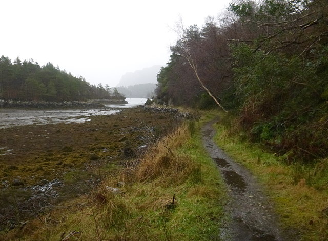
Despite its small size, Am Ploc offers amenities to cater to the needs of its residents and visitors. The village has a local shop, a post office, and a charming pub, serving as a social hub for the community. The surrounding area provides opportunities for outdoor activities like hiking, fishing, and birdwatching, attracting tourists to the region.
With its idyllic setting and friendly atmosphere, Am Ploc is a hidden gem for those seeking a peaceful Scottish getaway, immersing themselves in the beauty of the Highlands and the tranquility of coastal living.
If you have any feedback on the listing, please let us know in the comments section below.
Am Ploc Images
Images are sourced within 2km of 57.334049/-5.6653822 or Grid Reference NG7933. Thanks to Geograph Open Source API. All images are credited.


Am Ploc is located at Grid Ref: NG7933 (Lat: 57.334049, Lng: -5.6653822)
Unitary Authority: Highland
Police Authority: Highlands and Islands
Also known as: Plockton
What 3 Words
///quicker.sung.uncouth. Near Kyleakin, Highland
Nearby Locations
Related Wikis

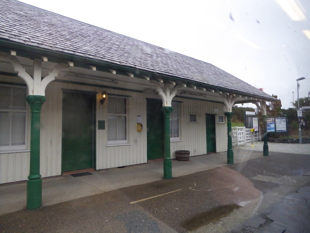
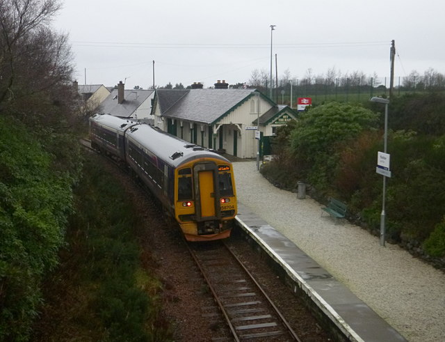
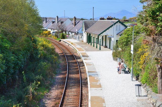
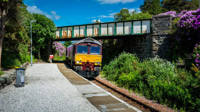
Plockton railway station
Plockton railway station is a railway station on the Kyle of Lochalsh Line, serving the village of Plockton in the Highlands, north-west Scotland. The...

Plockton High School
Plockton High School is a 221-pupil high school in the village of Plockton, Scotland. The catchment area for the school stretches from Applecross in the...

Plockton
Plockton (Scottish Gaelic: Am Ploc/Ploc Loch Aillse) is a village in the Lochalsh, Wester Ross area of the Scottish Highlands with a 2020 population of...

Duncraig railway station
Duncraig railway station is a remote railway station by the shore of Loch Carron on the Kyle of Lochalsh Line, originally (privately) serving Duncraig...

Duncraig Castle
Duncraig Castle is a mansion in Lochalsh, in the west of the Scottish Highlands. A category-C listed building, it is situated in the Highland council area...

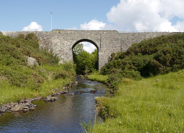
Port an Eòrna
Port an Eòrna is the Scottish Gaelic name for the small settlement of Barleyport, situated almost midway between Plockton and the Kyle of Lochalsh, in...

Duirinish railway station
Duirinish railway station is a remote railway station on the Kyle of Lochalsh Line near the settlement of Duirinish in the Highlands, northern Scotland...
Duirinish, Lochalsh
Duirinish (Scottish Gaelic: Diùirinis) is a hamlet in Lochalsh near Plockton in Ross-shire, Scottish Highlands and is in the Scottish council area of Highland...
Nearby Amenities
Located within 500m of 57.334049,-5.6653822Have you been to Am Ploc?
Leave your review of Am Ploc below (or comments, questions and feedback).