An Criathrach
Hill, Mountain in Ross-shire
Scotland
An Criathrach
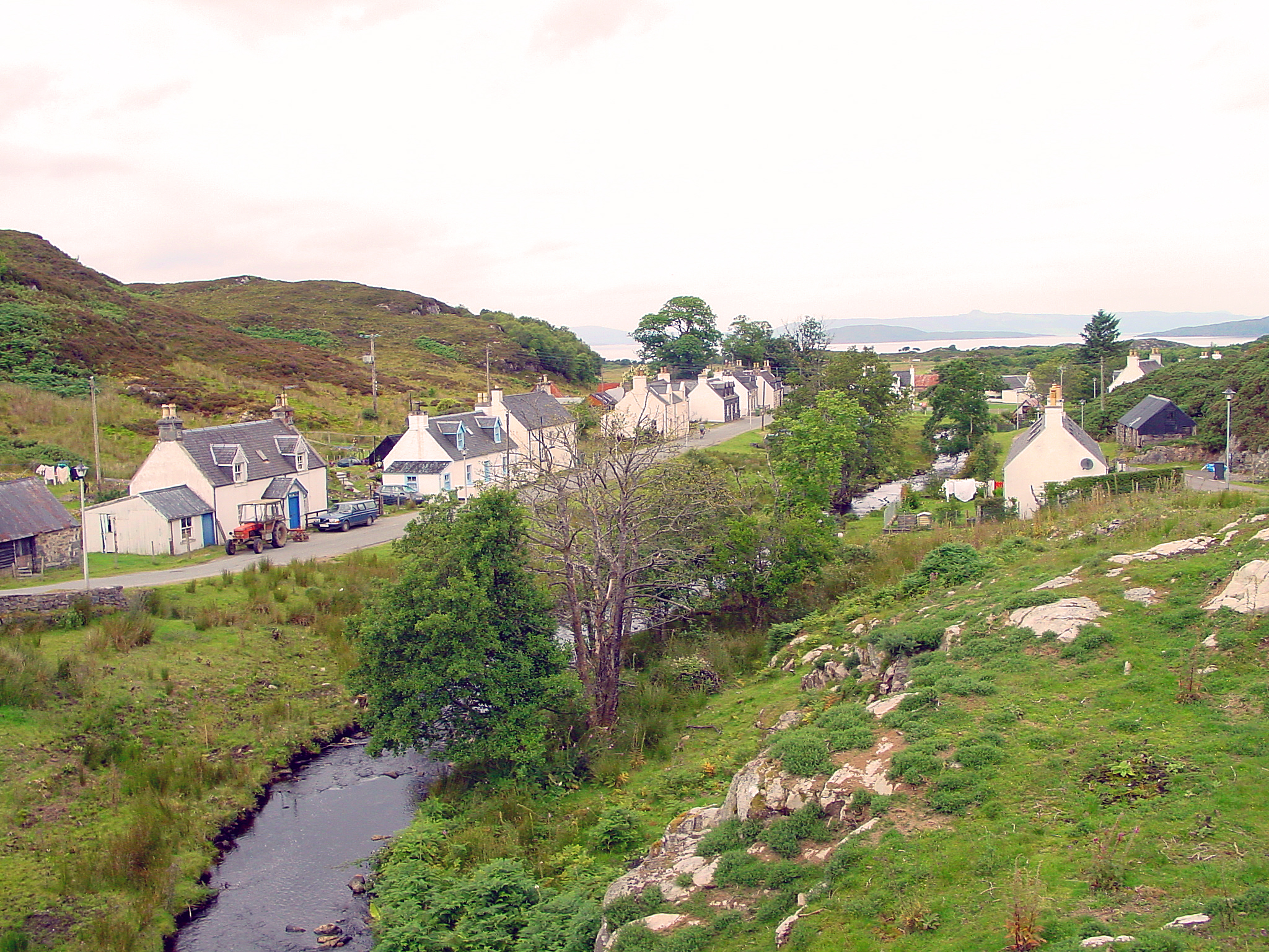
An Criathrach is a prominent hill located in Ross-shire, Scotland. It forms part of the stunning Scottish Highlands, known for its breathtaking landscapes and rugged terrain. The hill stands at an elevation of approximately 584 meters (1,916 feet) above sea level, making it a notable feature in the surrounding area.
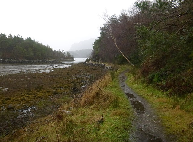
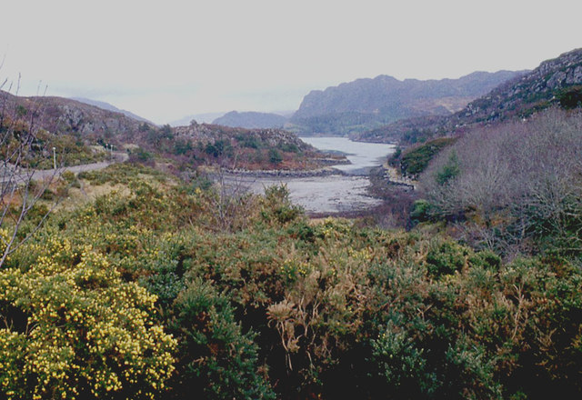
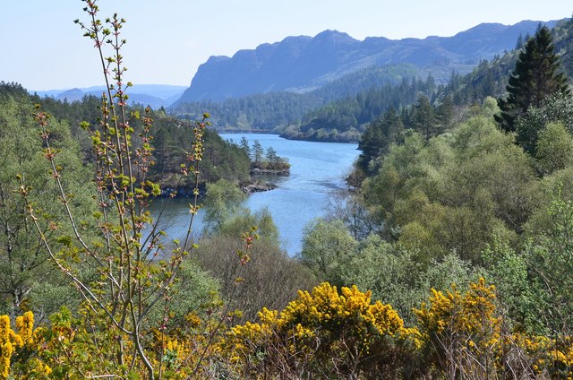
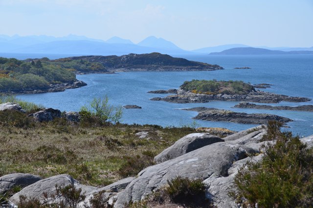
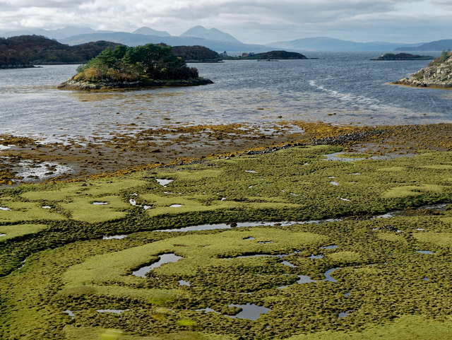
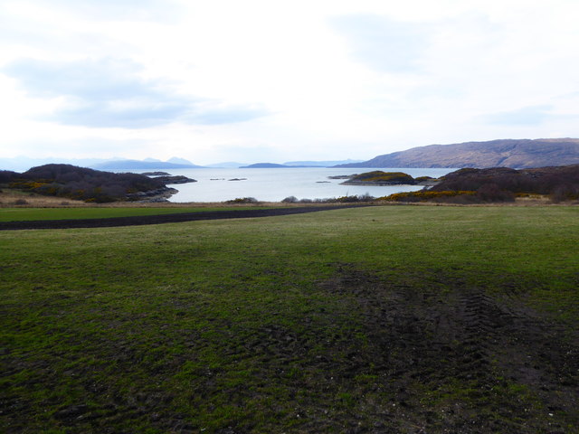
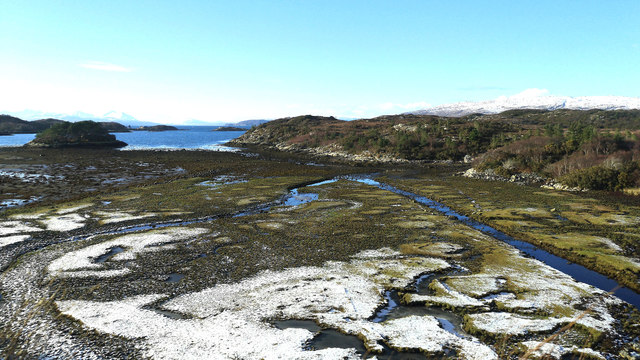
An Criathrach is characterized by its distinct conical shape and steep slopes, covered in heather and grasses. Its summit offers panoramic views of the surrounding countryside, including the nearby lochs and mountains. On a clear day, visitors can marvel at the beauty of Loch Maree, Loch Kernsary, and the Torridon Mountains in the distance.
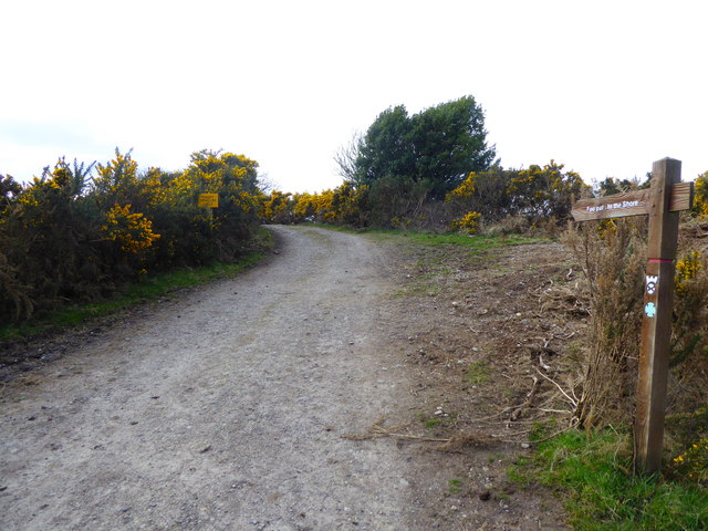
The hill is a popular destination for outdoor enthusiasts, including hikers and climbers, who are drawn to its challenging terrain and stunning vistas. There are several well-marked trails that lead to the summit, providing varying levels of difficulty for different skill levels. Hikers can expect a moderate to strenuous hike, depending on the chosen route.
Wildlife is abundant in the area surrounding An Criathrach, with red deer, golden eagles, and red squirrels being common sightings. The hill is also home to a variety of plant species, including heather, mosses, and lichens, adding to its natural beauty.
An Criathrach is a must-visit destination for those seeking to experience the majestic Scottish Highlands, offering a glimpse into the region's stunning landscapes, rich wildlife, and challenging outdoor activities.
If you have any feedback on the listing, please let us know in the comments section below.
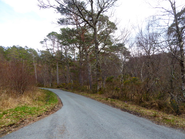
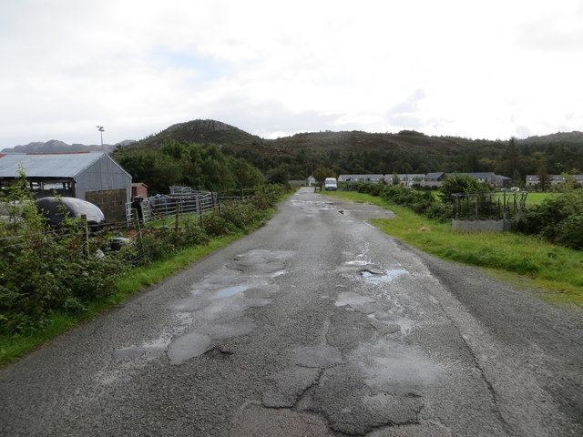
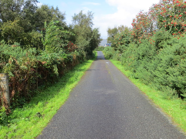
An Criathrach Images
Images are sourced within 2km of 57.337743/-5.6620264 or Grid Reference NG7933. Thanks to Geograph Open Source API. All images are credited.


An Criathrach is located at Grid Ref: NG7933 (Lat: 57.337743, Lng: -5.6620264)
Unitary Authority: Highland
Police Authority: Highlands and Islands
What 3 Words
///pouch.cookers.purchaser. Near Kyleakin, Highland
Nearby Locations
Related Wikis

Plockton High School
Plockton High School is a 221-pupil high school in the village of Plockton, Scotland. The catchment area for the school stretches from Applecross in the...

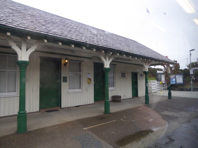
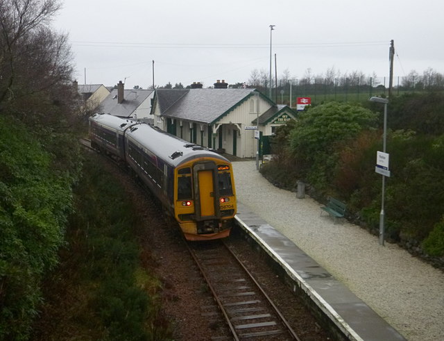
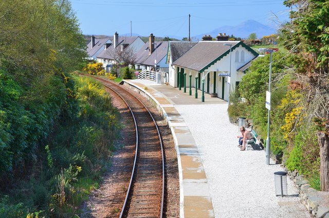
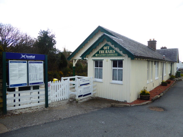
Plockton railway station
Plockton railway station is a railway station on the Kyle of Lochalsh Line, serving the village of Plockton in the Highlands, north-west Scotland. The...

Plockton
Plockton (Scottish Gaelic: Am Ploc/Ploc Loch Aillse) is a village in the Lochalsh, Wester Ross area of the Scottish Highlands with a 2020 population of...

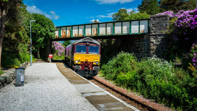
Duncraig railway station
Duncraig railway station is a remote railway station by the shore of Loch Carron on the Kyle of Lochalsh Line, originally (privately) serving Duncraig...

Duncraig Castle
Duncraig Castle is a mansion in Lochalsh, in the west of the Scottish Highlands. A category-C listed building, it is situated in the Highland council area...

Port an Eòrna
Port an Eòrna is the Scottish Gaelic name for the small settlement of Barleyport, situated almost midway between Plockton and the Kyle of Lochalsh, in...

Duirinish railway station
Duirinish railway station is a remote railway station on the Kyle of Lochalsh Line near the settlement of Duirinish in the Highlands, northern Scotland...
Duirinish, Lochalsh
Duirinish (Scottish Gaelic: Diùirinis) is a hamlet in Lochalsh near Plockton in Ross-shire, Scottish Highlands and is in the Scottish council area of Highland...
Nearby Amenities
Located within 500m of 57.337743,-5.6620264Have you been to An Criathrach?
Leave your review of An Criathrach below (or comments, questions and feedback).