Sgeir nan Sgarbh

Coastal Feature, Headland, Point in Argyllshire

Scotland

Sgeir nan Sgarbh

Ruined cottage at Ballure
Ruined cottage at Ballure Credit: John Ferguson

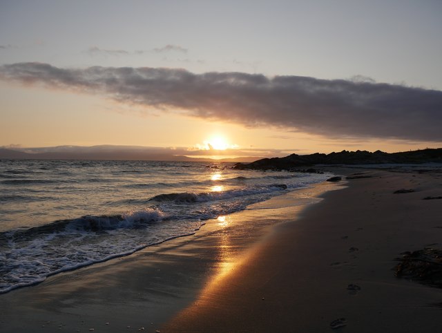
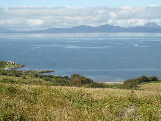
Sgeir nan Sgarbh is a prominent coastal feature located in Argyllshire, Scotland. It is a headland that extends into the surrounding body of water, forming a distinct point along the coastline. The name "Sgeir nan Sgarbh" translates to "the skerry of the cormorants," highlighting the rich birdlife that inhabits the area.

This headland is characterized by its rugged and rocky terrain. It is composed of ancient, weathered rocks, which have been shaped over time by the relentless pounding of the sea. The headland stands tall, offering panoramic views of the surrounding coastline and the vast expanse of the ocean.

Sgeir nan Sgarbh is known for its diverse wildlife, particularly its cormorant population. These large seabirds can often be seen perched on the rocky outcrops or diving into the water in search of fish. The headland also serves as a nesting site for a variety of seabirds, including gulls and fulmars.

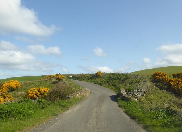
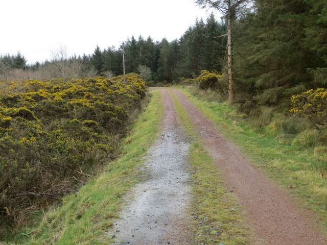
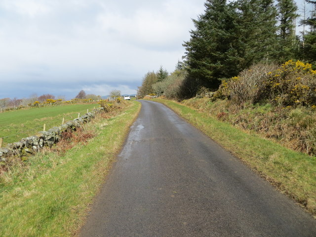
Visitors to Sgeir nan Sgarbh can explore the area by foot, following the coastal path that winds its way around the headland. The path offers picturesque views of the cliffs, the crashing waves, and the abundant birdlife. It is a popular spot for birdwatching and nature enthusiasts, who can observe the birds in their natural habitat and enjoy the peacefulness of the coastal environment.

Overall, Sgeir nan Sgarbh is a captivating coastal feature in Argyllshire, offering a unique blend of rugged beauty and abundant wildlife. Its dramatic landscapes and diverse birdlife make it a must-visit destination for those seeking to immerse themselves in Scotland's natural wonders.

If you have any feedback on the listing, please let us know in the comments section below.

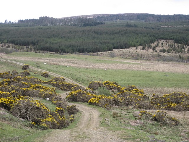
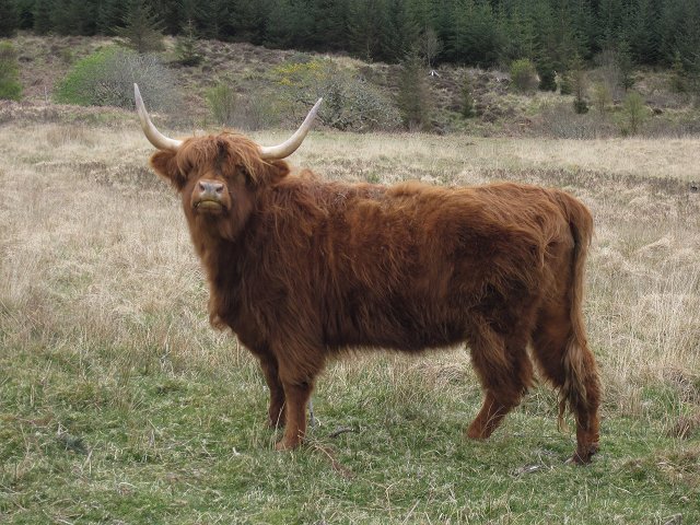
Sgeir nan Sgarbh Images

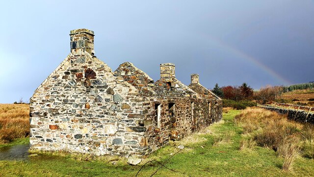
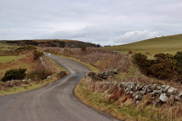
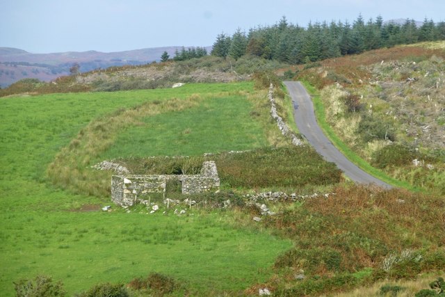
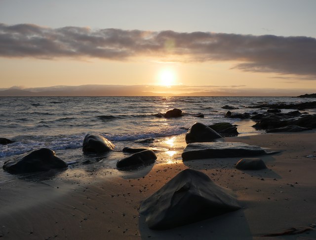
Images are sourced within 2km of 55.847701/-5.6641262 or Grid Reference NR7067. Thanks to Geograph Open Source API. All images are credited.

Ruined cottage at Ballure
Derelict Cottages north of Cretshengan A beautiful but exposed spot.
Derelict Cottages north of Cretshengan
A beautiful but exposed spot.
Bridge carrying the B8024 over Crear Burn
Single track 'B' road above Stotfield Bay
Ruined building beside the B8024
Sunset on July 1st The sun lowering over Jura at 2121 hrs as viewed from near the Crear Burn where it enters Cretshengan Bay, near Port Bàn.
Sunset on July 1st
The sun lowering over Jura at 2121 hrs as viewed from near the Crear Burn where it enters Cretshengan Bay, near Port Bàn.
Cretshengan Bay Sunset as viewed from the predominantly sandy Cretschengan Bay, north of Port Bàn.
Cretshengan Bay
Sunset as viewed from the predominantly sandy Cretschengan Bay, north of Port Bàn.
Bridge over the Crear Burn
Ruined farmstead by the B8024
Ruin of Tigh-na-gaoith
Ruin at Tigh-na-gaoith
Road (B8024) and Bridge crossing Crear Burn Looking northward.
Road (B8024) and Bridge crossing Crear Burn
Looking northward.
Forest track Looking south-eastward from the bridge crossing Eas Breugaig.
Forest track
Looking south-eastward from the bridge crossing Eas Breugaig.
Road (B8024) near to Balure Looking northward.
Road (B8024) near to Balure
Looking northward.
Ordnance Survey Cut Mark This mark can be found on the roadside (B8024) wall of a dwelling near to Cretshengan. The benchmark height has been recorded as 53.693 metres above sea level.
For more detail see : <span class="nowrap"><a title="https://www.bench-marks.org.uk/bm106630" rel="nofollow ugc noopener" href="https://www.bench-marks.org.uk/bm106630">Link</a><img style="margin-left:2px;" alt="External link" title="External link - shift click to open in new window" src="https://s1.geograph.org.uk/img/external.png" width="10" height="10"/></span>
Ordnance Survey Cut Mark
This mark can be found on the roadside (B8024) wall of a dwelling near to Cretshengan. The benchmark height has been recorded as 53.693 metres above sea level. For more detail see : LinkExternal link
View over Stotfield Bay towards Jura Stotfield Bay is an intriguing placename and it includes an element of my surname. Here it stands out as a Scots name among mainly Gaelic names. In this context it probably means field used by an ox or bull, or possibly an old horse.  On the east coast of Scotland there is another Stotfield, known for a fishing disaster in 1806. What is the association between these Stotfields and the coast?
View over Stotfield Bay towards Jura
Stotfield Bay is an intriguing placename and it includes an element of my surname. Here it stands out as a Scots name among mainly Gaelic names. In this context it probably means field used by an ox or bull, or possibly an old horse. On the east coast of Scotland there is another Stotfield, known for a fishing disaster in 1806. What is the association between these Stotfields and the coast?
Hill track Heading up into the hills above Crear.
Hill track
Heading up into the hills above Crear.
Watch out pal, I'm looking at you And if you stay around, I'll run away.
Watch out pal, I'm looking at you
And if you stay around, I'll run away.
Show me another place!

Sgeir nan Sgarbh is located at Grid Ref: NR7067 (Lat: 55.847701, Lng: -5.6641262)

Unitary Authority: Argyll and Bute

Police Authority: Argyll and West Dunbartonshire

What 3 Words

///valued.rebounds.corner. Near Tarbert, Argyll & Bute

Related Wikis

Kilberry

Kilberry (Scottish Gaelic: Cill Bheiridh) is a village in Argyll and Bute, Scotland. It is close to the western coast of the district of Knapdale. Kilberry...

Kilberry Castle

Kilberry Castle is a Category B listed country house near Kilberry in South Knapdale in the county of Argyll, in western Scotland on the shores of the...

Druimdrishaig

Druimdrishaig is a hamlet in Argyll and Bute, Scotland, on the shore of Loch Caolisport. == References ==

Baile Boidheach

Baile Boidheach (Scottish Gaelic: Am Baile Bòidheach) is a hamlet in Argyll and Bute, Scotland.

Have you been to Sgeir nan Sgarbh?

Leave your review of Sgeir nan Sgarbh below (or comments, questions and feedback).