Sgeir na Lathaich
Island in Argyllshire
Scotland
Sgeir na Lathaich

The requested URL returned error: 429 Too Many Requests
If you have any feedback on the listing, please let us know in the comments section below.
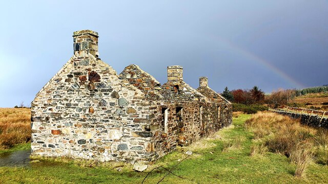
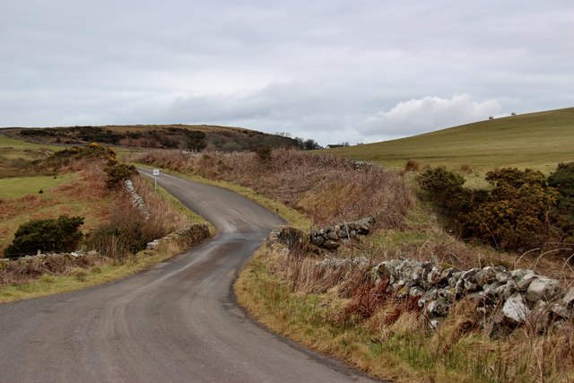
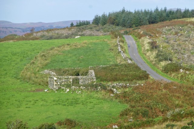
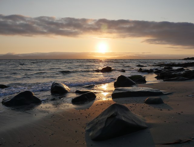
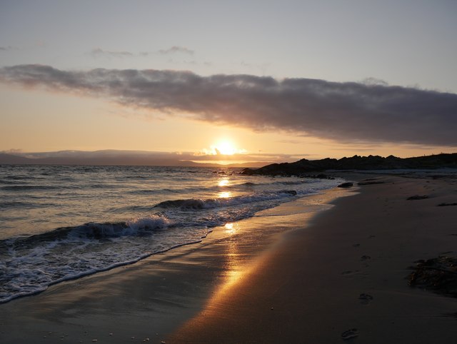
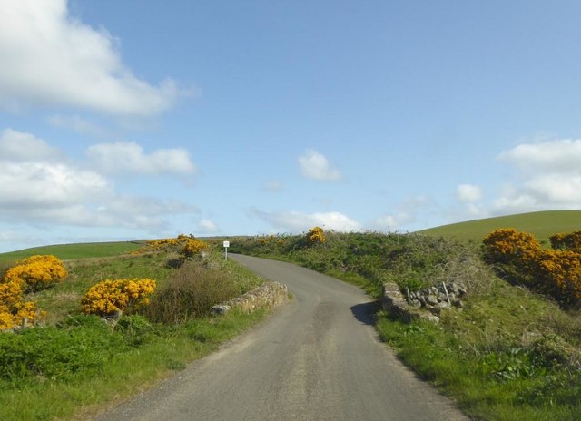
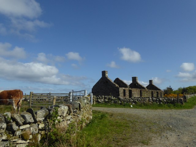
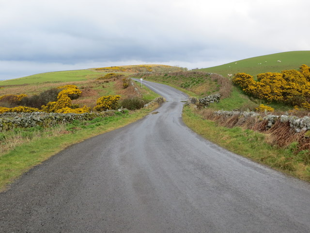
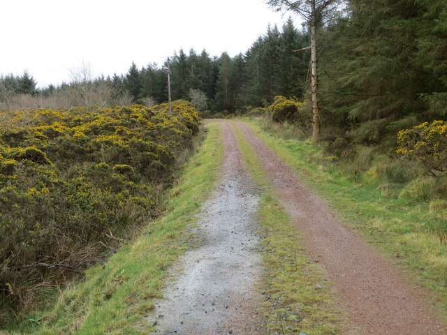
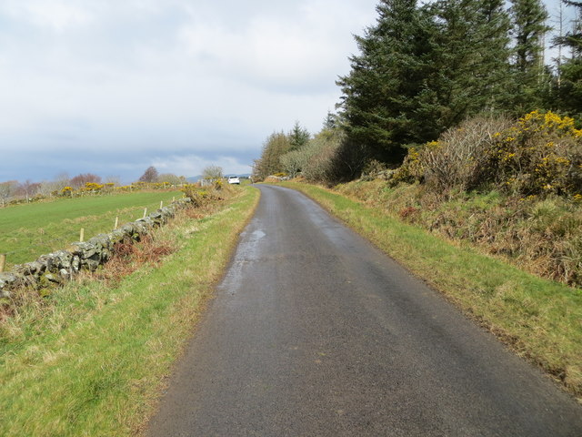
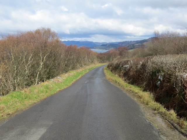
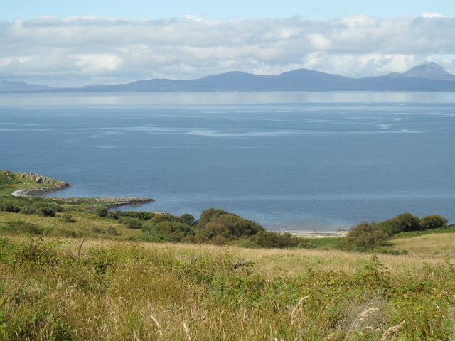
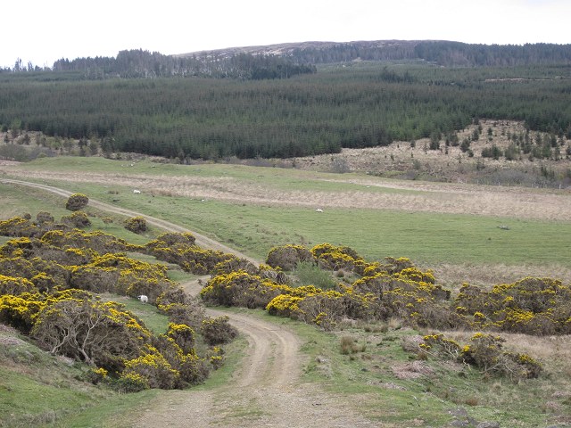
Sgeir na Lathaich Images
Images are sourced within 2km of 55.849678/-5.6608441 or Grid Reference NR7067. Thanks to Geograph Open Source API. All images are credited.


Sgeir na Lathaich is located at Grid Ref: NR7067 (Lat: 55.849678, Lng: -5.6608441)
Unitary Authority: Argyll and Bute
Police Authority: Argyll and West Dunbartonshire
What 3 Words
///strictly.backlog.efficient. Near Tarbert, Argyll & Bute
Related Wikis

Kilberry
Kilberry (Scottish Gaelic: Cill Bheiridh) is a village in Argyll and Bute, Scotland. It is close to the western coast of the district of Knapdale. Kilberry...

Druimdrishaig
Druimdrishaig is a hamlet in Argyll and Bute, Scotland, on the shore of Loch Caolisport. == References ==
Kilberry Castle
Kilberry Castle is a Category B listed country house near Kilberry in South Knapdale in the county of Argyll, in western Scotland on the shores of the...
Baile Boidheach
Baile Boidheach (Scottish Gaelic: Am Baile Bòidheach) is a hamlet in Argyll and Bute, Scotland.
Have you been to Sgeir na Lathaich?
Leave your review of Sgeir na Lathaich below (or comments, questions and feedback).