An Ruadh-Eilean
Coastal Feature, Headland, Point in Ross-shire
Scotland
An Ruadh-Eilean

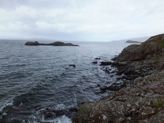
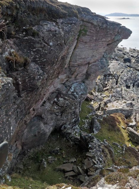
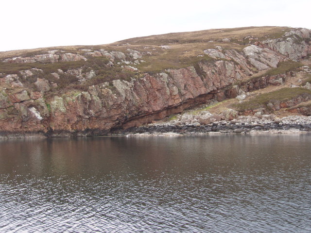
An Ruadh-Eilean is a prominent coastal feature located in Ross-shire, Scotland. It is a headland that extends into the North Sea, forming a point that offers breathtaking views of the surrounding landscape. The name "An Ruadh-Eilean" translates to "The Red Island" in English, which reflects the distinct reddish color of the rocks that make up the headland.
This coastal feature is characterized by its rugged cliffs, which rise steeply from the sea and provide a habitat for various seabirds, such as gannets and puffins. The cliffs are interspersed with small caves, adding to the scenic beauty of the area. The headland is also home to a diverse range of flora and fauna, making it a popular spot for nature enthusiasts.
An Ruadh-Eilean is accessible by a footpath that winds its way along the coastline, offering visitors an opportunity to explore the headland and enjoy its stunning views. The point itself provides a vantage point to observe the crashing waves and the vast expanse of the sea. On clear days, it is even possible to catch a glimpse of marine mammals, such as dolphins or seals, swimming in the waters below.
Due to its natural beauty and unique geological features, An Ruadh-Eilean has become a popular destination for tourists and photographers alike. Its remote location and unspoiled surroundings make it a peaceful and tranquil place to visit, allowing visitors to connect with nature and experience the raw beauty of the Scottish coastline.
If you have any feedback on the listing, please let us know in the comments section below.
An Ruadh-Eilean Images
Images are sourced within 2km of 57.393138/-5.8243994 or Grid Reference NG7040. Thanks to Geograph Open Source API. All images are credited.


An Ruadh-Eilean is located at Grid Ref: NG7040 (Lat: 57.393138, Lng: -5.8243994)
Unitary Authority: Highland
Police Authority: Highlands and Islands
What 3 Words
///mailing.lingering.heads. Near Kyleakin, Highland
Nearby Locations
Related Wikis
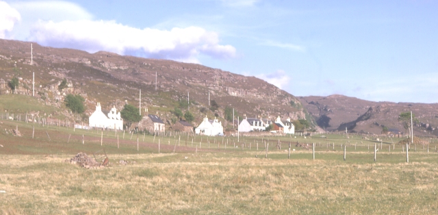
Culduie
Culduie (Scottish Gaelic: Cùil Duibh) is a small hamlet, located on the southwest corner on Applecross peninsula, which is south of Applecross Village...

Toscaig
Toscaig (Scottish Gaelic: Toghsgaig) is a small, remote village, at the southern end of the Applecross peninsula, in Wester Ross in the Highlands of Scotland...
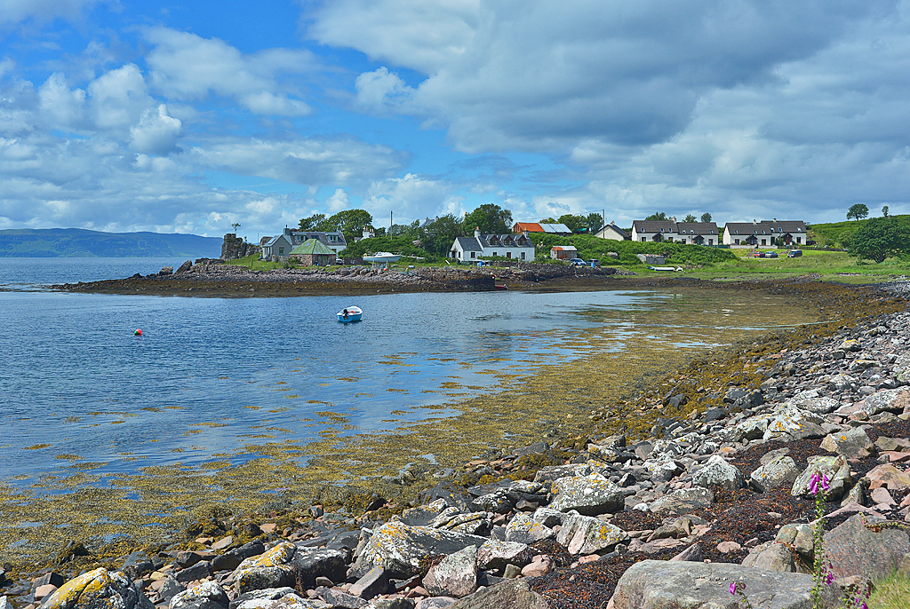
Camusterrach
Camusterrach (Scottish Gaelic: Camas Tearach) is a remote hamlet, situated on the west coast of Scotland, on the Applecross peninsula, in Strathcarron...

Camusteel
Camusteel (Scottish Gaelic: Camas Teile) is a remote crofting and former fishing village in the Applecross peninsula, located less than 1 mile directly...

Applecross
Applecross (Scottish Gaelic: A' Chomraich) is a peninsula north-west of Kyle of Lochalsh in the council area of Highland, Scotland. The name Applecross...
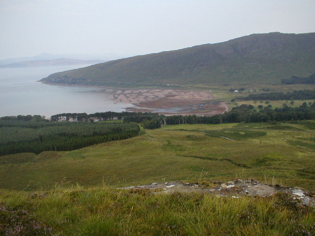
Applecross Bay
Applecross Bay is large remote tidal coastal embayment, located next to the small fishing village of Applecross and is on the west coast of the Applecross...
Crowlin Islands
The Crowlin Islands (Scottish Gaelic: Na h-Eileanan Cròlainneach) are a group of uninhabited islands in the Inner Hebrides of Scotland. They lie between...

Eilean Meadhonach
Eilean Meadhonach is the second largest of the Crowlin Islands, located in the Inner Sound off the island of Skye, Scotland. It is situated immediately...
Nearby Amenities
Located within 500m of 57.393138,-5.8243994Have you been to An Ruadh-Eilean?
Leave your review of An Ruadh-Eilean below (or comments, questions and feedback).