Ard-dhubh

Settlement in Ross-shire

Scotland

Ard-dhubh

Row of Cottages Ardban
Row of Cottages Ardban Credit: Tom Richardson

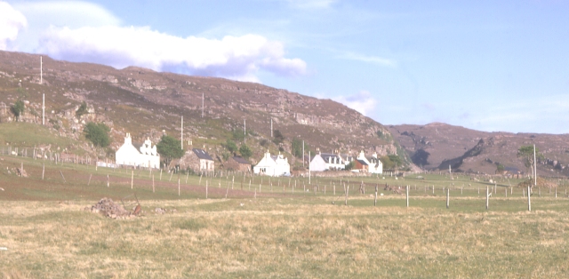
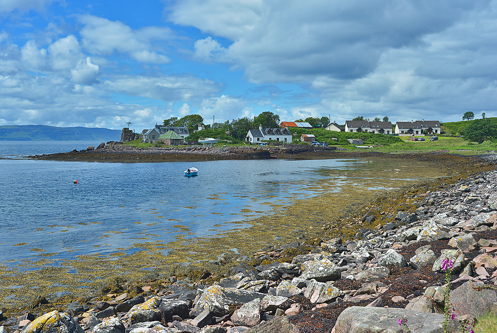
Ard-dhubh is a picturesque village located in the county of Ross-shire, in the Highland region of Scotland. Situated on the banks of the beautiful Loch Broom, it offers breathtaking views of the surrounding mountains and serene waters. The village is part of the larger community of Ullapool, which is only a short distance away.

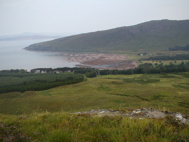
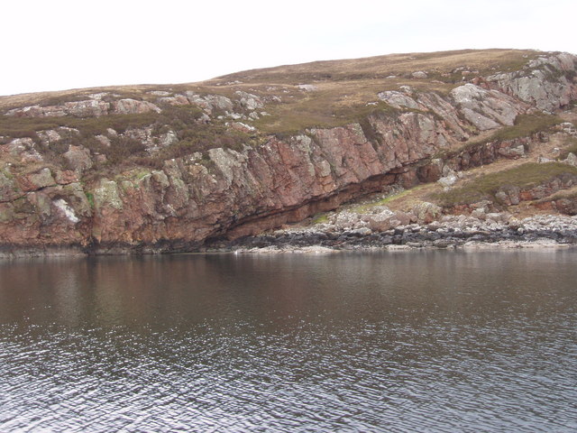
Ard-dhubh is known for its tranquility and unspoiled natural beauty, making it a popular destination for nature lovers and outdoor enthusiasts. The area offers a wide range of outdoor activities, including hiking, fishing, boating, and wildlife watching. The nearby mountains provide excellent opportunities for climbing and mountaineering, with several trails catering to both beginners and experienced climbers.

The village itself is small but charming, with a handful of traditional cottages and a friendly community atmosphere. There is a local pub that offers a warm welcome to visitors, serving hearty Scottish cuisine and locally brewed ales. The nearby town of Ullapool provides additional amenities, such as shops, restaurants, and accommodation options.

Ard-dhubh is also steeped in history, with several ancient sites and landmarks in the vicinity. The ruins of Ardvreck Castle, a 16th-century fortress, can be found nearby, providing a glimpse into Scotland's rich past. The village is also a gateway to the stunning Wester Ross region, known for its rugged landscapes, secluded beaches, and diverse wildlife.

In conclusion, Ard-dhubh is a hidden gem in the Scottish Highlands, offering a peaceful retreat surrounded by breathtaking natural beauty and a wealth of outdoor activities. Whether you seek solitude in nature or a base to explore the wider region, Ard-dhubh is a destination that should not be missed.

If you have any feedback on the listing, please let us know in the comments section below.
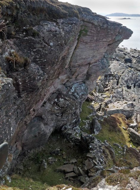
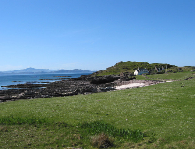
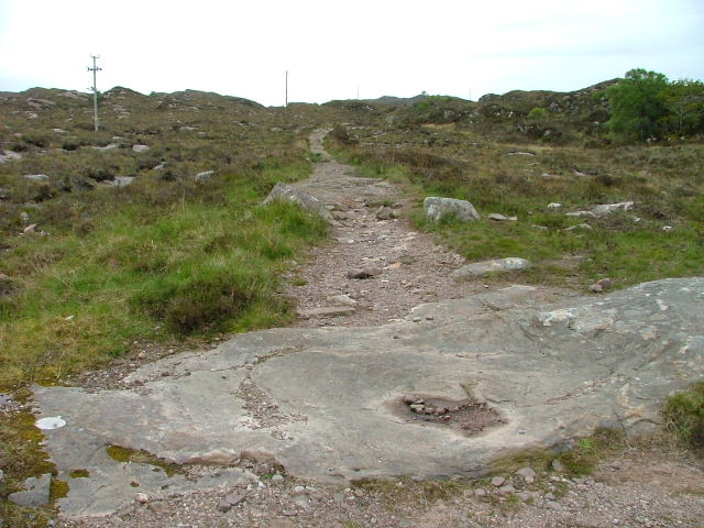
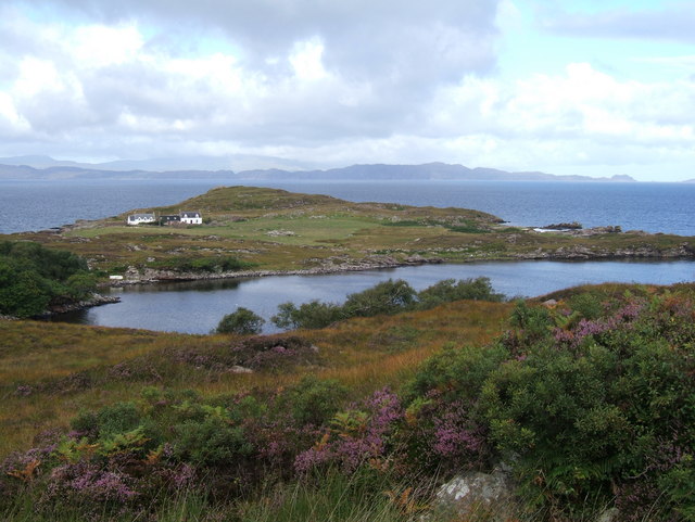
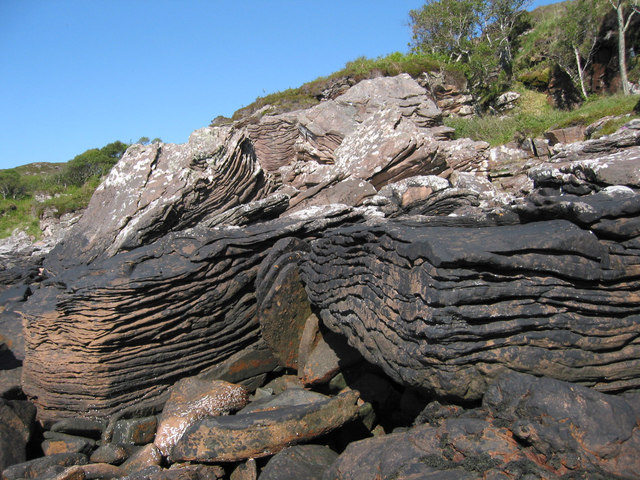
Ard-dhubh Images

Images are sourced within 2km of 57.399723/-5.818341 or Grid Reference NG7040. Thanks to Geograph Open Source API. All images are credited.

Row of Cottages Ardban
Houses at Ardban
Houses at Ardban
Coastline near Ardban, Ross and Cromarty Looking towards the Isle of Raasay.
Coastline near Ardban, Ross and Cromarty
Looking towards the Isle of Raasay.
Rock shelter, Ardban, Ross and Cromarty Historic Environment Scotland describes a rock shelter as, "the area beneath a natural overhang at the base of a cliff or crag. This may have been used for occupation, burial, etc".  This shelter was recorded during the Scotland's First Settlers Project: <span class="nowrap"><a title="https://canmore.org.uk/site/157931/ardban" rel="nofollow ugc noopener" href="https://canmore.org.uk/site/157931/ardban">Link</a><img style="margin-left:2px;" alt="External link" title="External link - shift click to open in new window" src="https://s1.geograph.org.uk/img/external.png" width="10" height="10"/></span>.
Rock shelter, Ardban, Ross and Cromarty
Historic Environment Scotland describes a rock shelter as, "the area beneath a natural overhang at the base of a cliff or crag. This may have been used for occupation, burial, etc". This shelter was recorded during the Scotland's First Settlers Project: LinkExternal link.
Ardban Two isolated houses on the coast with no road access. The only way to get to these houses is by boat or a well defined footpath from the Ard Dubh road. I presume they are used as holiday lets today. Grassland around houses grazed by sheep. Nearby beach in foreground of photo made up of shells.
Ardban
Two isolated houses on the coast with no road access. The only way to get to these houses is by boat or a well defined footpath from the Ard Dubh road. I presume they are used as holiday lets today. Grassland around houses grazed by sheep. Nearby beach in foreground of photo made up of shells.
Eilean na Ba (Island of the Cattle) The smaller island on the left. Managed to land on this when I canoed up the coast later on. No cattle spotted on it but seals, wild otters & many seabirds featured on the trip.
Eilean na Ba (Island of the Cattle)
The smaller island on the left. Managed to land on this when I canoed up the coast later on. No cattle spotted on it but seals, wild otters & many seabirds featured on the trip.
Shore at Ardban
Shore at Ardban
View of Ardban
View of Ardban
Rocks north of Ardban The headland of Ardban is exposed at low tide.  The mountains of Skye are shrouded in mist in the distance.
Rocks north of Ardban
The headland of Ardban is exposed at low tide. The mountains of Skye are shrouded in mist in the distance.
Damp grazing north of Toscaig The hill behind marks the western edge of a vast area of lochan-strewn moorland which stretches towards the Bealach na Ba road.
Damp grazing north of Toscaig
The hill behind marks the western edge of a vast area of lochan-strewn moorland which stretches towards the Bealach na Ba road.
Rock shelter, Coille Ghillidh, Ross and Cromarty Historic Environment Scotland describes a rock shelter as, "the area beneath a natural overhang at the base of a cliff or crag. This may have been used for occupation, burial, etc". This shelter was recorded during the Scotland's First Settlers Project: <span class="nowrap"><a title="https://canmore.org.uk/site/317869/coilliegillie" rel="nofollow ugc noopener" href="https://canmore.org.uk/site/317869/coilliegillie">Link</a><img style="margin-left:2px;" alt="External link" title="External link - shift click to open in new window" src="https://s1.geograph.org.uk/img/external.png" width="10" height="10"/></span>.
Rock shelter, Coille Ghillidh, Ross and Cromarty
Historic Environment Scotland describes a rock shelter as, "the area beneath a natural overhang at the base of a cliff or crag. This may have been used for occupation, burial, etc". This shelter was recorded during the Scotland's First Settlers Project: LinkExternal link.
Marshy area, Toscaig
Distinctive rocky re-entrant
Poll Domhain Well off the beaten track.
Poll Domhain
Well off the beaten track.
Track to Ardban The settlement of Ardban is approx. a kilometre southwest.
Track to Ardban
The settlement of Ardban is approx. a kilometre southwest.
towards Ardban from Coral Beaches Path, near Applecross
Raasay and Skye from near Ardban
Tidal rocks
Tidal rocks
Show me another place!

Ard-dhubh is located at Grid Ref: NG7040 (Lat: 57.399723, Lng: -5.818341)

Unitary Authority: Highland

Police Authority: Highlands and Islands

What 3 Words

///dockers.vandalism.hacking. Near Kyleakin, Highland

Related Wikis

Culduie

Culduie (Scottish Gaelic: Cùil Duibh) is a small hamlet, located on the southwest corner on Applecross peninsula, which is south of Applecross Village...

Camusterrach

Camusterrach (Scottish Gaelic: Camas Tearach) is a remote hamlet, situated on the west coast of Scotland, on the Applecross peninsula, in Strathcarron...

Camusteel

Camusteel (Scottish Gaelic: Camas Teile) is a remote crofting and former fishing village in the Applecross peninsula, located less than 1 mile directly...

Toscaig

Toscaig (Scottish Gaelic: Toghsgaig) is a small, remote village, at the southern end of the Applecross peninsula, in Wester Ross in the Highlands of Scotland...

Applecross

Applecross (Scottish Gaelic: A' Chomraich) is a peninsula north-west of Kyle of Lochalsh in the council area of Highland, Scotland. The name Applecross...

Applecross Bay

Applecross Bay is large remote tidal coastal embayment, located next to the small fishing village of Applecross and is on the west coast of the Applecross...

Bealach na Bà

Bealach na Bà (pronounced [bjaLəx na baː]) is a winding single track road through the mountains of the Applecross peninsula, in Wester Ross in the Scottish...

Crowlin Islands

The Crowlin Islands (Scottish Gaelic: Na h-Eileanan Cròlainneach) are a group of uninhabited islands in the Inner Hebrides of Scotland. They lie between...

Nearby Amenities

Located within 500m of 57.399723,-5.818341
Barrier: cattle_grid
Created By: Merkaartor 0.13
Source: survey
Lat/Long: 57.3968263/-5.8153187
Leisure: slipway
Seamark Information: by car
Seamark Small Craft Facility Category: slipway
Seamark Type: small_craft_facility
Source: survey
Lat/Long: 57.3978697/-5.8133408
Ard Dhubh
Created By: Merkaartor 0.13
Place: hamlet
Source: survey
Lat/Long: 57.4000981/-5.8192562
Poll Creadha
Natural: bay
Lat/Long: 57.4017975/-5.8136559
Power: pole
Lat/Long: 57.4000866/-5.8195182
Power: pole
Lat/Long: 57.3996616/-5.8191021
Power: pole
Lat/Long: 57.3991074/-5.8184185
Power: pole
Lat/Long: 57.3984924/-5.8176838
Power: pole
Lat/Long: 57.3977291/-5.8169693
Power: pole
Lat/Long: 57.3967924/-5.8161062
Power: pole
Lat/Long: 57.3961423/-5.815472
The data included in this document is from www.openstreetmap.org. The data is made available under ODbL.

Have you been to Ard-dhubh?

Leave your review of Ard-dhubh below (or comments, questions and feedback).