White Rocks
Coastal Feature, Headland, Point in Cornwall
England
White Rocks
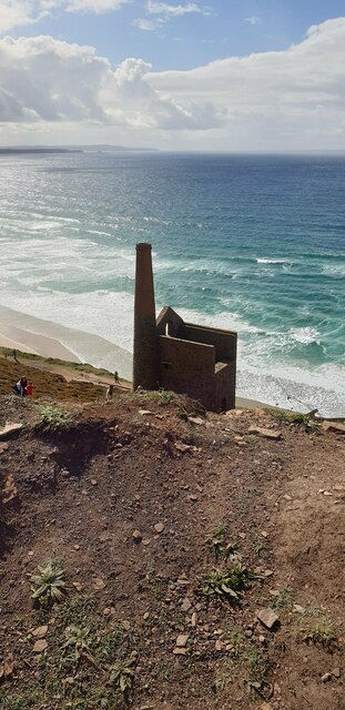
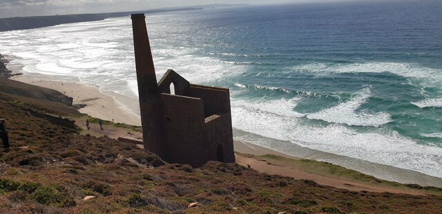
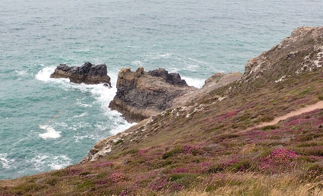
White Rocks is a striking coastal feature located in Cornwall, England. This headland juts out into the Atlantic Ocean, offering stunning views of the surrounding coastline. The name "White Rocks" comes from the white limestone cliffs that line the edge of the headland, creating a dramatic contrast against the deep blue waters below.
The headland is popular with tourists and locals alike, who come to admire the natural beauty of the area and take in the fresh sea air. Visitors can walk along the coastal paths that wind around the headland, providing panoramic views of the rugged coastline and the open sea.
White Rocks is also known for its diverse wildlife, with seabirds nesting in the cliffs and seals often spotted basking on the rocks below. The area is a designated Site of Special Scientific Interest, due to its unique geology and important habitats for rare plant species.
Overall, White Rocks is a must-visit destination for those seeking natural beauty and tranquility along the stunning coastline of Cornwall.
If you have any feedback on the listing, please let us know in the comments section below.
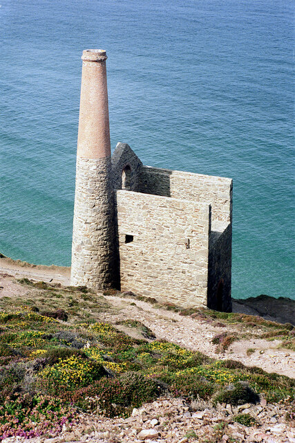
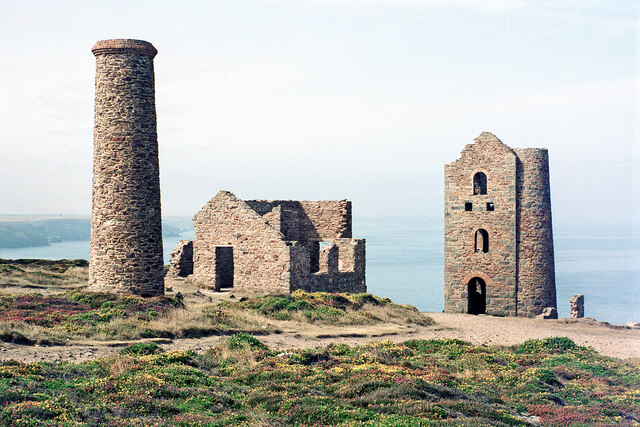
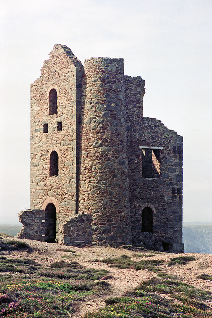
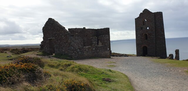
White Rocks Images
Images are sourced within 2km of 50.314946/-5.23427 or Grid Reference SW6951. Thanks to Geograph Open Source API. All images are credited.


White Rocks is located at Grid Ref: SW6951 (Lat: 50.314946, Lng: -5.23427)
Unitary Authority: Cornwall
Police Authority: Devon and Cornwall
What 3 Words
///domain.awards.secretly. Near St Agnes, Cornwall
Nearby Locations
Related Wikis

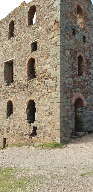
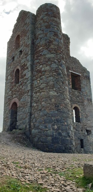
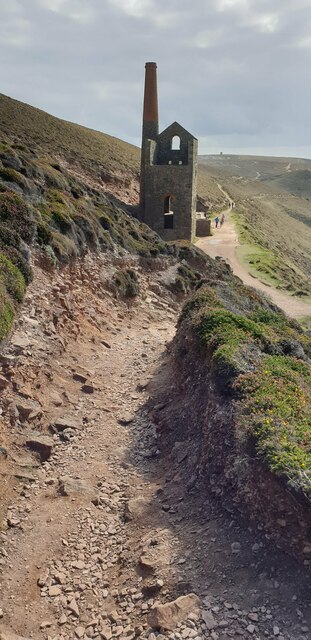
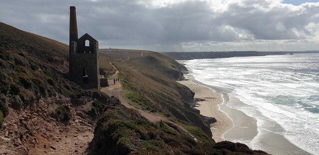
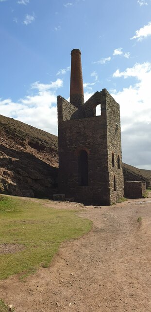
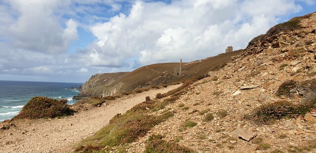
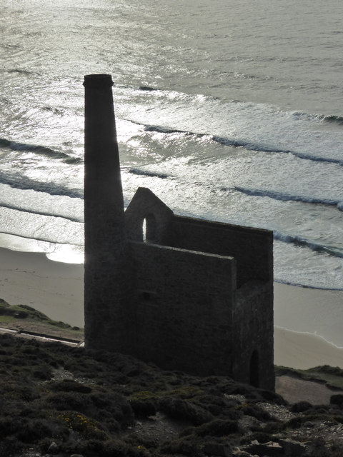
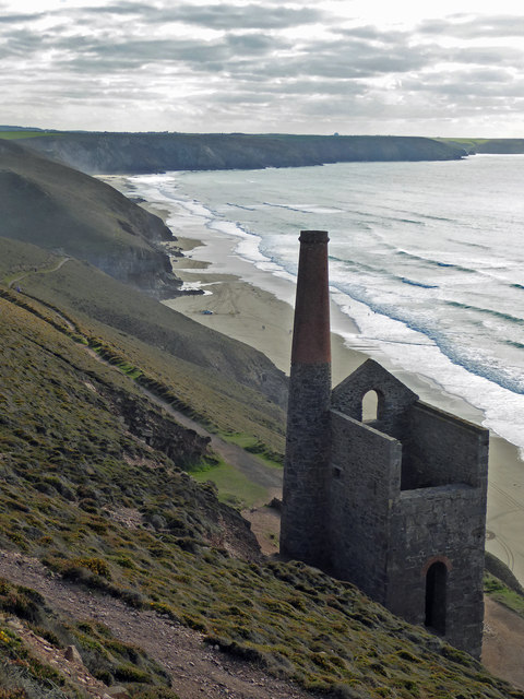
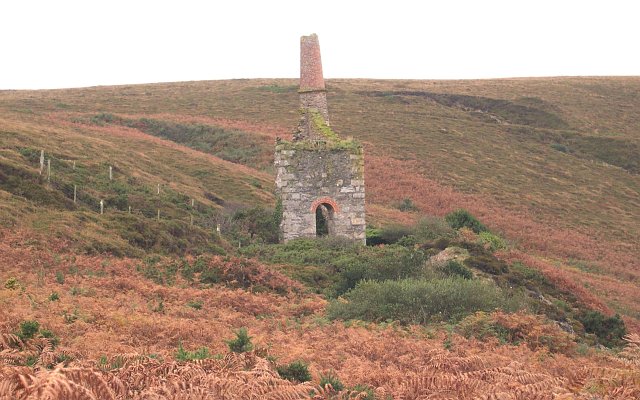
Wheal Coates
Wheal Coates is a former tin mine situated on the north coast of Cornwall, UK, on the cliff tops between Porthtowan and St Agnes. It is preserved and maintained...

Higher Bal
Higher Bal is a hamlet in the parish of St Agnes, Cornwall, England. == References ==

Goonvrea
Goonvrea is a hamlet in the parish of St Agnes (where the 2011 census population was included ), Cornwall, England. == References ==
Great Wheal Charlotte
Great Wheal Charlotte, also known as Wheal Charlotte, is an abandoned copper and tin mine near St Agnes in Cornwall, England. All that is left of the mine...
Nearby Amenities
Located within 500m of 50.314946,-5.23427Have you been to White Rocks?
Leave your review of White Rocks below (or comments, questions and feedback).