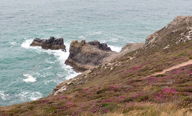
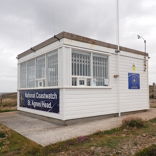
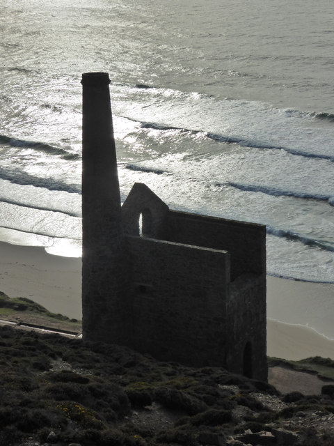
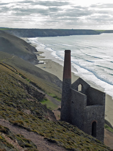
Carn Gowla
Cliff, Slope in Cornwall
England
Carn Gowla
The requested URL returned error: 429 Too Many Requests
If you have any feedback on the listing, please let us know in the comments section below.
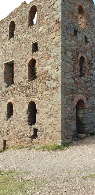
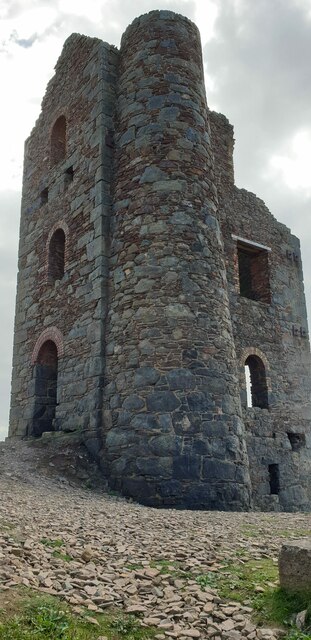
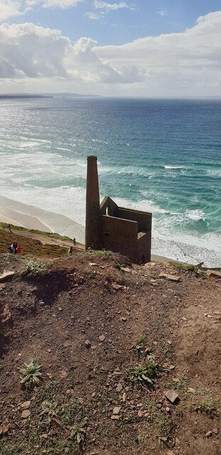
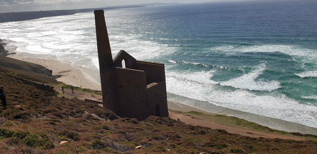
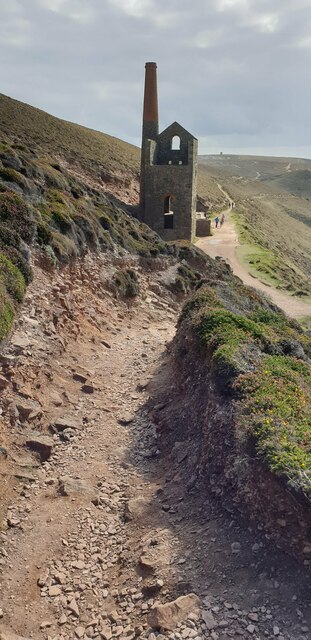
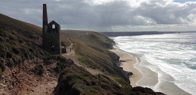
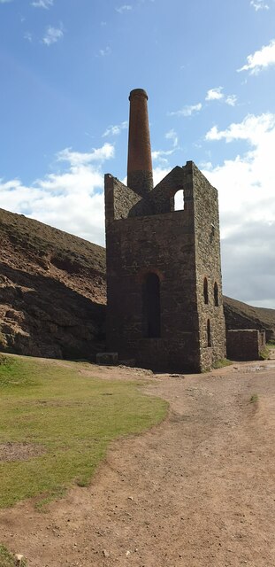
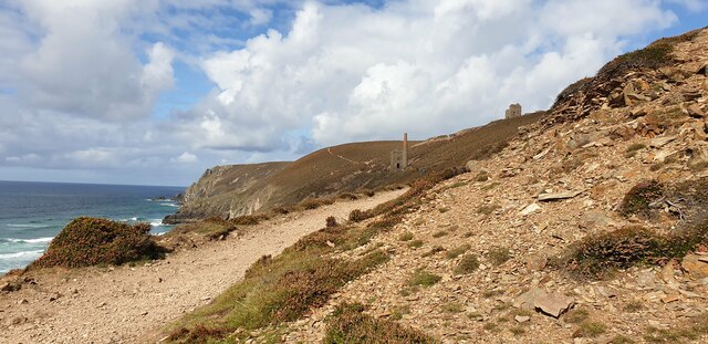
Carn Gowla Images
Images are sourced within 2km of 50.317601/-5.2342256 or Grid Reference SW6951. Thanks to Geograph Open Source API. All images are credited.


Carn Gowla is located at Grid Ref: SW6951 (Lat: 50.317601, Lng: -5.2342256)
Unitary Authority: Cornwall
Police Authority: Devon and Cornwall
What 3 Words
///trace.lighter.lurching. Near St Agnes, Cornwall
Nearby Locations
Related Wikis

Higher Bal
Higher Bal is a hamlet in the parish of St Agnes, Cornwall, England. == References ==

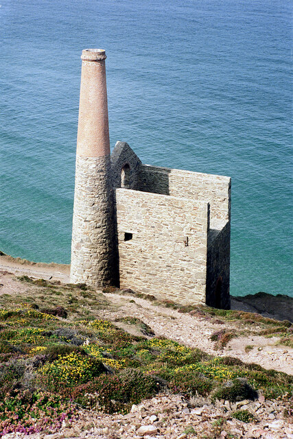
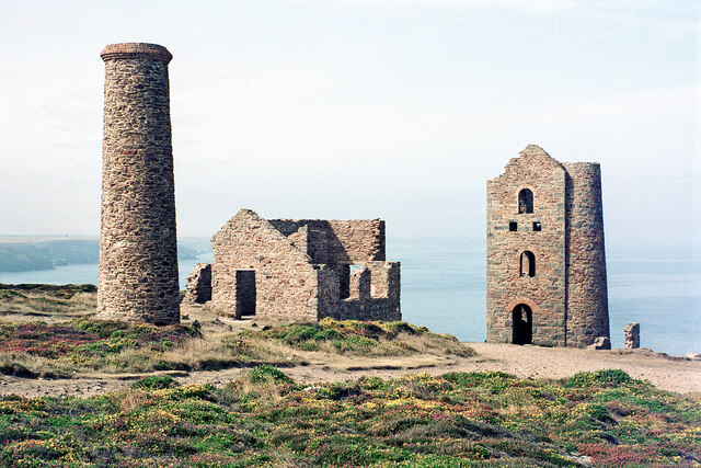
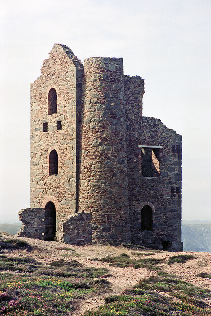
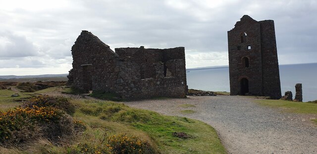
Wheal Coates
Wheal Coates is a former tin mine situated on the north coast of Cornwall, UK, on the cliff tops between Porthtowan and St Agnes. It is preserved and maintained...
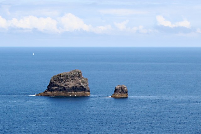
Bawden Rocks
Bawden Rocks (Cornish: Meyn Bodyn), also known as Cow and Calf or Man and His Man, are a pair of small islands approximately one mile north of St Agnes...

Goonvrea
Goonvrea is a hamlet in the parish of St Agnes (where the 2011 census population was included ), Cornwall, England. == References ==
Nearby Amenities
Located within 500m of 50.317601,-5.2342256Have you been to Carn Gowla?
Leave your review of Carn Gowla below (or comments, questions and feedback).