The Horse
Coastal Feature, Headland, Point in Cornwall
England
The Horse
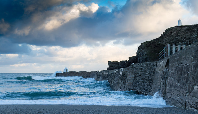
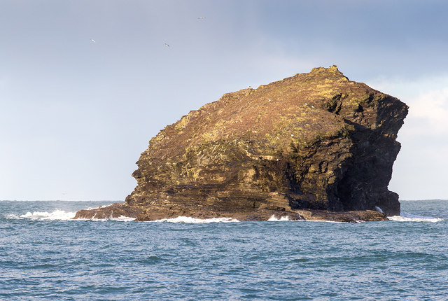
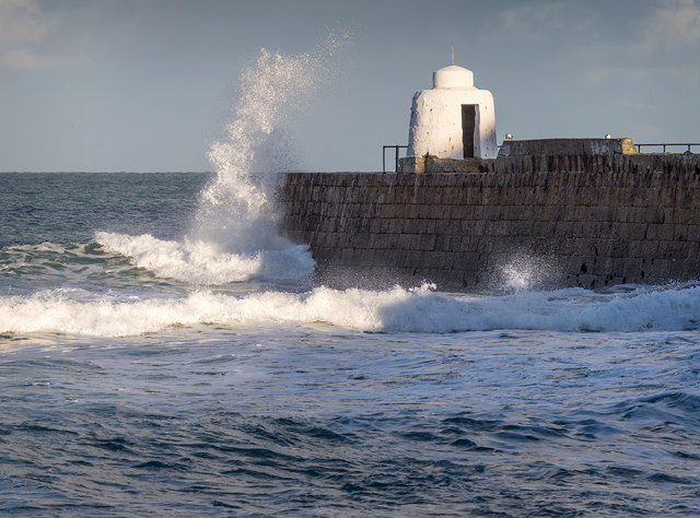
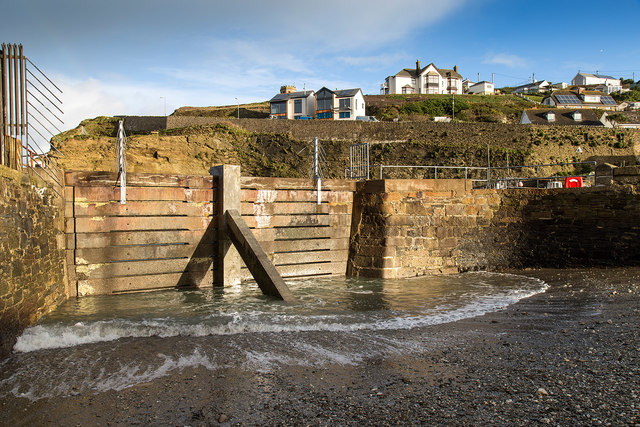
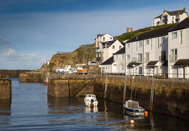
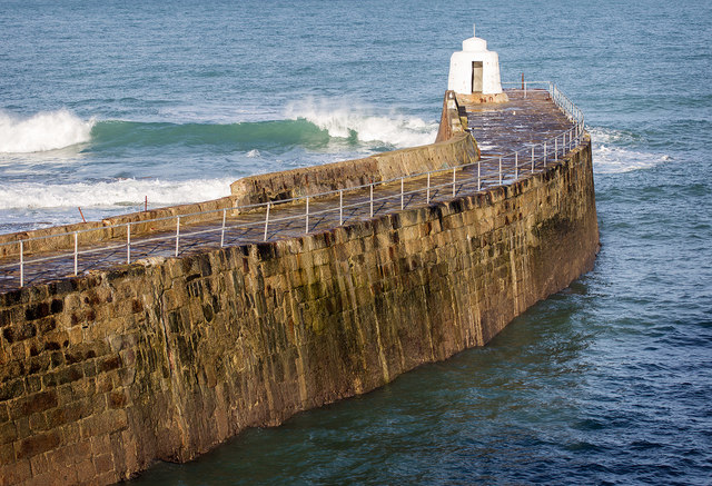
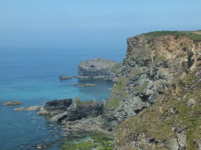
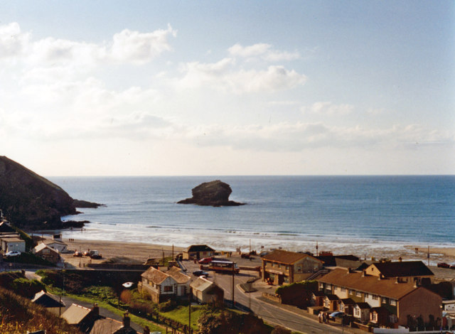
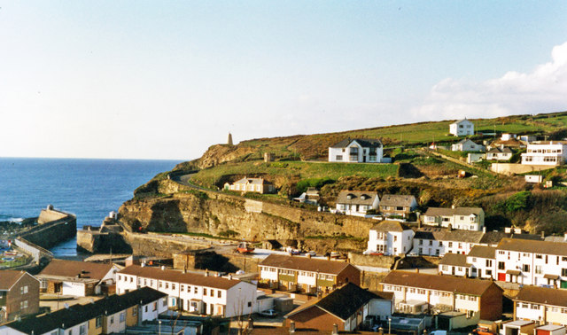
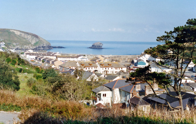
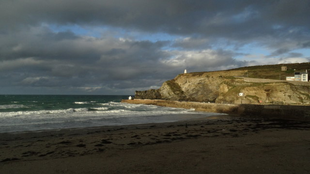
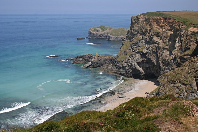
The Horse is a prominent coastal feature located in Cornwall, England. This headland juts out into the sea, forming a distinctive point along the rugged coastline. The Horse is known for its towering cliffs, dramatic rock formations, and stunning views of the surrounding ocean.
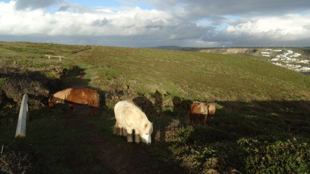
The headland gets its name from the rock formations that resemble the shape of a horse when viewed from a certain angle. This unique feature adds to the charm and character of the area, making it a popular destination for visitors and hikers looking to explore the natural beauty of Cornwall.
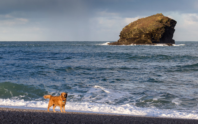
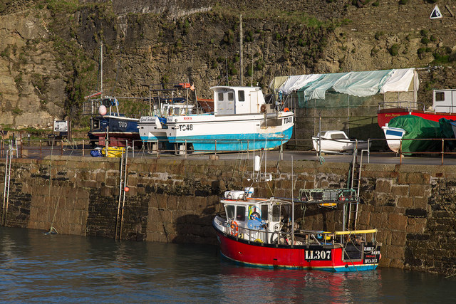
The Horse is surrounded by the crystal-clear waters of the Atlantic Ocean, providing opportunities for swimming, surfing, and other water activities. The cliffs offer a vantage point for birdwatching and wildlife spotting, with seabirds and marine life often seen in the area.
Overall, The Horse is a picturesque and iconic coastal feature in Cornwall, offering visitors a chance to experience the beauty and majesty of the natural world. Its rugged cliffs, stunning views, and unique rock formations make it a must-see destination for anyone exploring the Cornish coastline.
If you have any feedback on the listing, please let us know in the comments section below.
The Horse Images
Images are sourced within 2km of 50.259381/-5.305367 or Grid Reference SW6445. Thanks to Geograph Open Source API. All images are credited.
The Horse is located at Grid Ref: SW6445 (Lat: 50.259381, Lng: -5.305367)
Unitary Authority: Cornwall
Police Authority: Devon and Cornwall
What 3 Words
///smoking.protrude.tissue. Near Camborne, Cornwall
Nearby Locations
Related Wikis

Porteath
Porteath is a hamlet in the parish of St Minver, Cornwall, England. == References ==

Portreath
Portreath (Cornish: Porthtreth or Porth Treth) is a civil parish, village and fishing port on the north coast of Cornwall, England, United Kingdom. The...
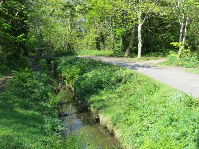
Godrevy Head to St Agnes
Godrevy Head to St Agnes is a coastal Site of Special Scientific Interest (SSSI) in north Cornwall, England], noted for both its biological and geological...

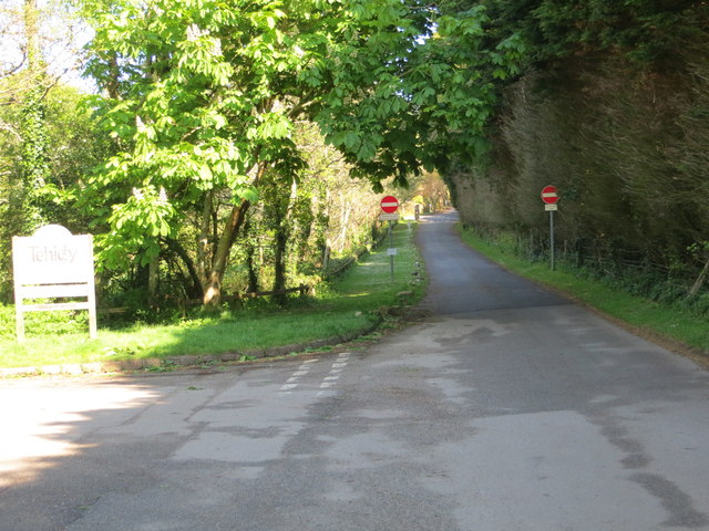
Tehidy Country Park
Tehidy Country Park is a country park in Illogan in Cornwall, England which incorporates 250 acres (1.0 km2) of the parkland and estate around Tehidy House...
Nearby Amenities
Located within 500m of 50.259381,-5.305367Have you been to The Horse?
Leave your review of The Horse below (or comments, questions and feedback).