Rubh' a Ghuail
Coastal Feature, Headland, Point in Argyllshire
Scotland
Rubh' a Ghuail
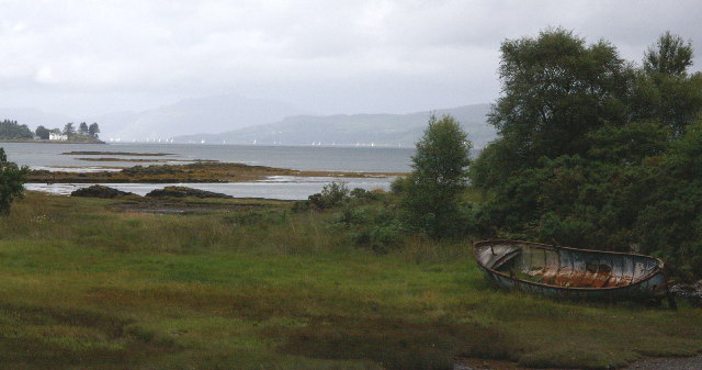
Rubh' a Ghuail, located in Argyllshire, Scotland, is a captivating coastal feature known for its picturesque headland and prominent point. Situated on the western coast of Scotland, this remarkable landscape is characterized by rugged cliffs, stunning rock formations, and breathtaking panoramic views of the surrounding sea.
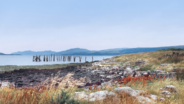
The headland of Rubh' a Ghuail juts out into the Atlantic Ocean, providing a vantage point for visitors to observe the crashing waves and the vast expanse of the water. The cliffs, which rise dramatically from the shoreline, are composed of ancient sedimentary rock, displaying layers that reveal the geological history of the region.
At the tip of the headland lies the point of Rubh' a Ghuail, a distinct feature that is often used as a navigational landmark by sailors and fishermen. The point offers an unobstructed view of the ocean, making it an ideal spot for whale-watching or bird-watching enthusiasts.
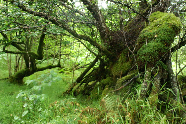
The surrounding area is rich in biodiversity, with various species of seabirds nesting on the cliffs and marine life thriving in the waters below. Visitors to Rubh' a Ghuail may be lucky enough to spot puffins, gannets, or even dolphins and seals.
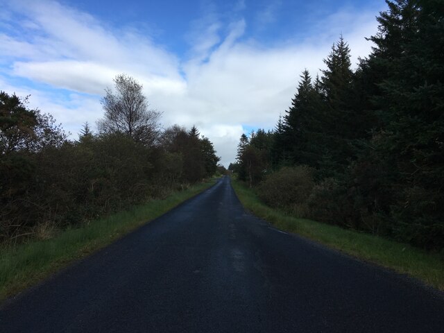
Access to Rubh' a Ghuail is relatively easy, with a well-maintained footpath leading from the nearby village. The headland and point are popular destinations for hikers, nature lovers, and photographers, who are drawn to its natural beauty and tranquility.
Overall, Rubh' a Ghuail is a stunning coastal feature that offers an unforgettable experience for those who venture to its headland and point. Its rugged cliffs, breathtaking views, and abundant wildlife make it a must-visit destination for anyone exploring the Argyllshire region of Scotland.
If you have any feedback on the listing, please let us know in the comments section below.
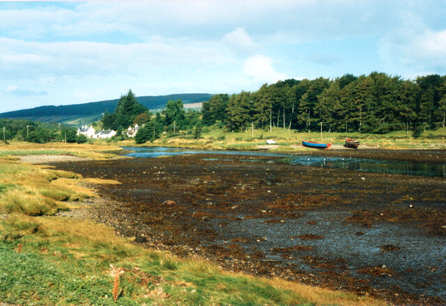
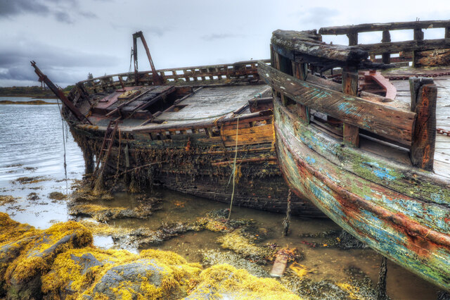
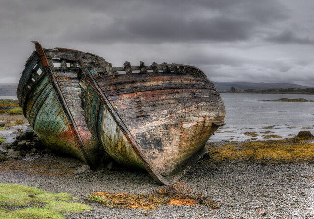
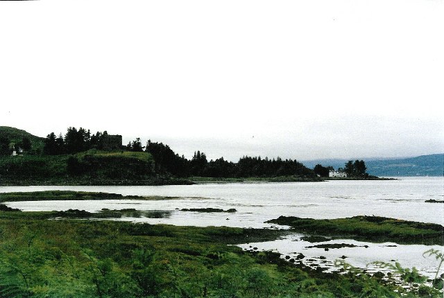
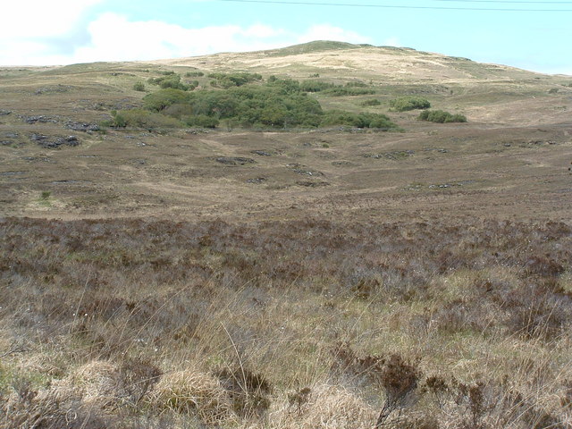
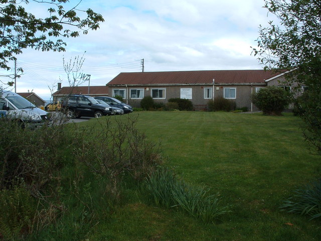
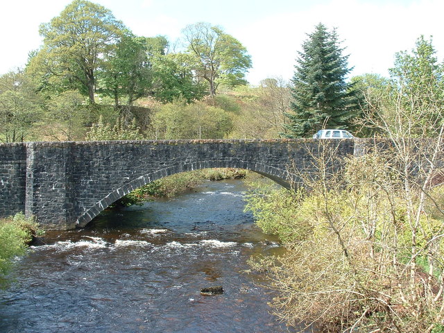
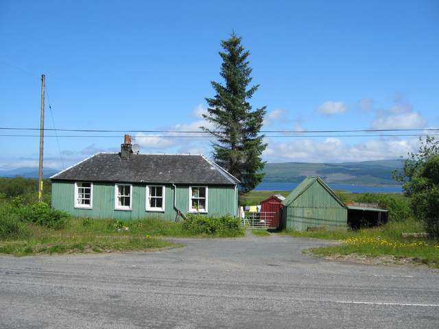
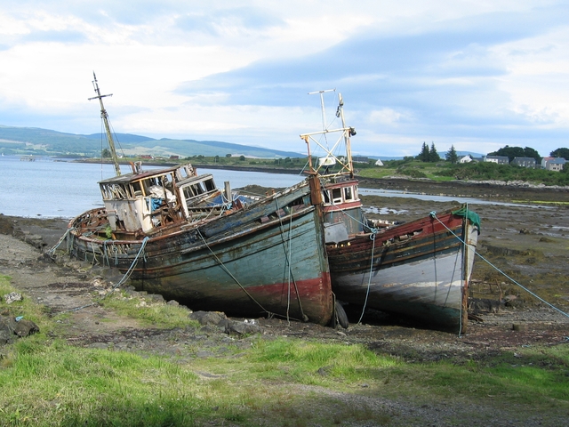
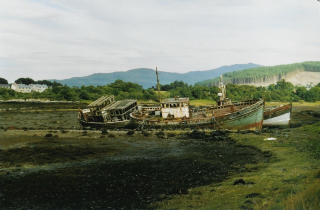
Rubh' a Ghuail Images
Images are sourced within 2km of 56.520659/-5.9514347 or Grid Reference NM5743. Thanks to Geograph Open Source API. All images are credited.
Rubh' a Ghuail is located at Grid Ref: NM5743 (Lat: 56.520659, Lng: -5.9514347)
Unitary Authority: Argyll and Bute
Police Authority: Argyll and West Dunbartonshire
What 3 Words
///zaps.afternoon.pelted. Near Salen, Argyll & Bute
Nearby Locations
Related Wikis

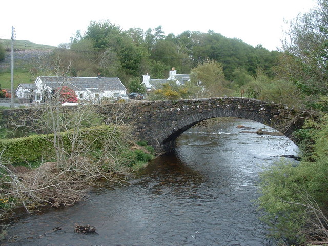
Salen, Mull
Salen (Scottish Gaelic: An t-Sàilean) is a settlement on the Isle of Mull, Scotland. It is on the east coast of the island, on the Sound of Mull, approximately...

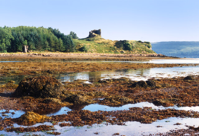
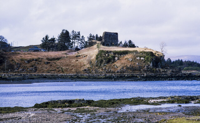
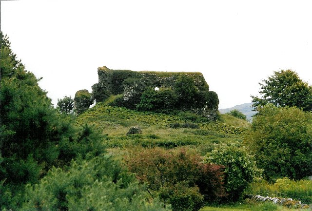
Aros Castle
Aros Castle, also known as Dounarwyse Castle, is a ruined 13th-century castle near Salen on the Isle of Mull, Scotland. The castle overlooks the Sound...

Great Mull Air Mystery
The Great Mull Air Mystery is the name given by the media to the disappearance of pilot Peter Gibbs on 24 December 1975 after he took an unscheduled solo...
SS Rondo
SS Rondo was a steam cargo ship. She was built by Tampa Shipbuilding & Drydock Company of Florida for the British government under the name War Wonder...
Nearby Amenities
Located within 500m of 56.520659,-5.9514347Have you been to Rubh' a Ghuail?
Leave your review of Rubh' a Ghuail below (or comments, questions and feedback).