Queen's Steps

Coastal Feature, Headland, Point in Argyllshire

Scotland

Queen's Steps

Calve Island Tobermory Bay Yacht anchored by Calve Island so avoiding busy Tobermory. In 1984 a Calve Island stamp was issued
Calve Island Tobermory Bay Credit: Alan Rankin

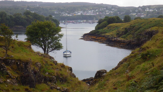
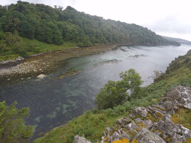
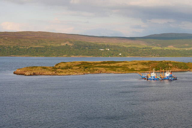
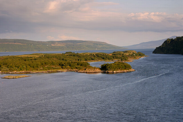
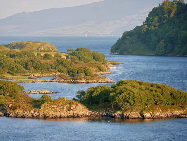
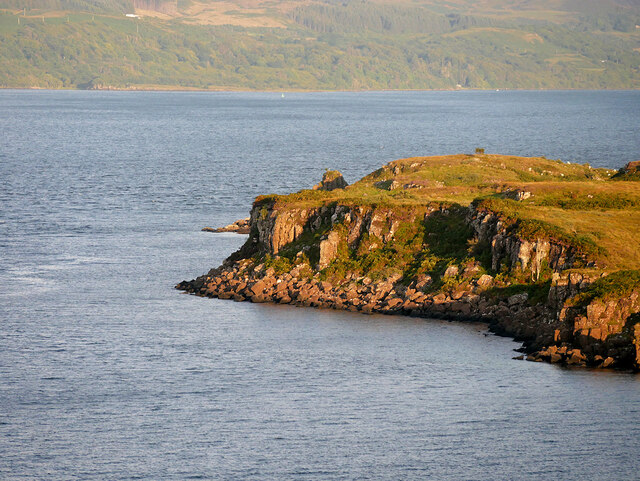
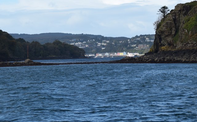
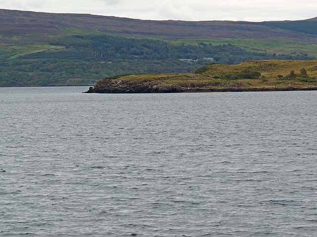
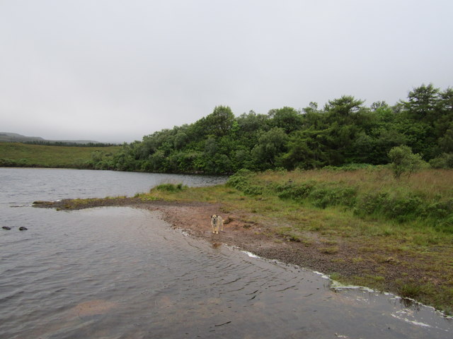
Queen's Steps is a coastal feature located in Argyllshire, Scotland. Situated on a headland, it is known for its picturesque views and historical significance. The steps themselves are carved into the natural rock formations, providing a unique and visually striking aspect to this coastal area.

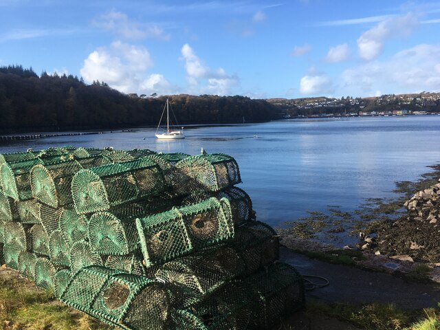
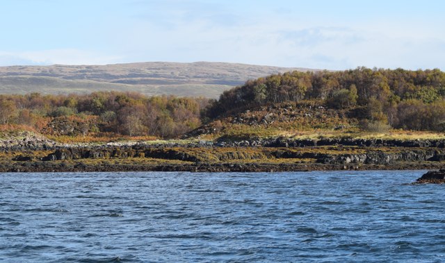
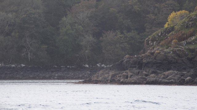
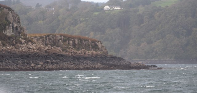
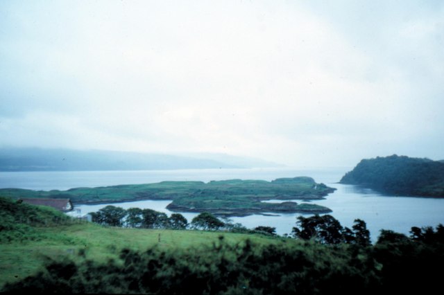
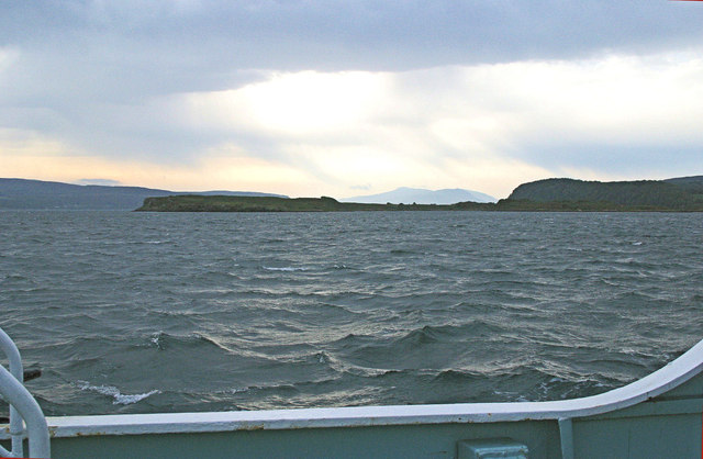
The headland on which Queen's Steps is found juts out into the sea, offering panoramic vistas of the surrounding coastline. Its position makes it an ideal spot for observing the dramatic ocean waves crashing against the rugged cliffs. The area is also home to a diverse array of marine life, making it a popular destination for nature enthusiasts and photographers alike.

Historically, Queen's Steps holds great significance as it is believed that the steps were carved by the order of Queen Victoria during her visit to the area in the 19th century. The steps were constructed to provide her with easier access to the shoreline, allowing her to take leisurely walks along the coast.

Today, Queen's Steps continues to be a popular attraction for both locals and tourists. Visitors can enjoy a leisurely stroll along the steps, taking in the breathtaking coastal scenery and relishing in the historical significance of the area. The headland also offers opportunities for birdwatching, with various seabirds nesting along the cliffs. For those interested in history and nature, Queen's Steps is a must-visit destination in Argyllshire.

If you have any feedback on the listing, please let us know in the comments section below.

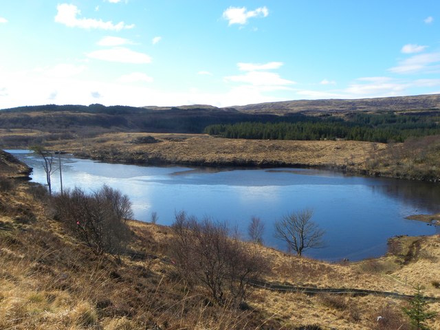
Queen's Steps Images

Images are sourced within 2km of 56.612668/-6.0286985 or Grid Reference NM5254. Thanks to Geograph Open Source API. All images are credited.

Calve Island Tobermory Bay Yacht anchored by Calve Island so avoiding busy Tobermory. In 1984 a Calve Island stamp was issued
Calve Island Tobermory Bay
Yacht anchored by Calve Island so avoiding busy Tobermory. In 1984 a Calve Island stamp was issued
Doirlinn Sound Calve Island Tobermory Doirlinn Sound between Calve Island and Mull. The Sound dries out at low tide but offers an alternative entrance to Tobermory Bay.
Doirlinn Sound Calve Island Tobermory
Doirlinn Sound between Calve Island and Mull. The Sound dries out at low tide but offers an alternative entrance to Tobermory Bay.
Creels and Tobermory Bay
Towards Eilean na Beithe Another view in between the trees along the coast path north of Tobermory.
Eilean na Beithe, meaning Birch Island, is the nearest point of land, and is a tidal island joined to Calve Island a short way off the coast opposite Tobermory.
Towards Eilean na Beithe
Another view in between the trees along the coast path north of Tobermory. Eilean na Beithe, meaning Birch Island, is the nearest point of land, and is a tidal island joined to Calve Island a short way off the coast opposite Tobermory.
Calve Island, Rubh' an Righ
Tobermory Bay, Calve Island and Doirlinn a' Chailbhe The channel known as Dòirlinn a' Chailbhe runs between Calve Island and Mull, forming the southern entrance into the bay.
Tobermory Bay, Calve Island and Doirlinn a' Chailbhe
The channel known as Dòirlinn a' Chailbhe runs between Calve Island and Mull, forming the southern entrance into the bay.
Eilean na Beithe and Calve Island Calve Island is an uninhabited low-lying island off the east coast of the Isle of Mull  The island is 11⁄4 miles (2 kilometres) in length, and 1⁄2 mile (800 metres) wide at its widest point. Calve provides some shelter for Tobermory Bay, helping to make it a safer anchorage.  Eilean na Beithe is a small tidal island at the north-west of Calve.
Eilean na Beithe and Calve Island
Calve Island is an uninhabited low-lying island off the east coast of the Isle of Mull The island is 11⁄4 miles (2 kilometres) in length, and 1⁄2 mile (800 metres) wide at its widest point. Calve provides some shelter for Tobermory Bay, helping to make it a safer anchorage. Eilean na Beithe is a small tidal island at the north-west of Calve.
Rubh' an Righ
Rubh' an Righ
The southern end of Doirlinn a' Chailbhe The channel here between Cnap a' Chailbhe and the Mull mainland is marked on the chart as drying to 3 metres at the red spar mark to left of shot. The photograph, taken at about half-tide, shows the  rock bar right across the channel and Tobermory in the distance
The southern end of Doirlinn a' Chailbhe
The channel here between Cnap a' Chailbhe and the Mull mainland is marked on the chart as drying to 3 metres at the red spar mark to left of shot. The photograph, taken at about half-tide, shows the rock bar right across the channel and Tobermory in the distance
Calve Island Small inlet  just south of Eilean na Beithe
Calve Island
Small inlet just south of Eilean na Beithe
Wooded inlet On the west coast of Calve Island, just north of Bogha Eilean nan Geodh
Wooded inlet
On the west coast of Calve Island, just north of Bogha Eilean nan Geodh
The northern end of Calve Island
Rubh' an Righ The northernmost point of Calve Island which lies at the entrance to Tobermory Harbour. Across the Sound of Mull lies the Morvern Peninsula.
Rubh' an Righ
The northernmost point of Calve Island which lies at the entrance to Tobermory Harbour. Across the Sound of Mull lies the Morvern Peninsula.
Calve Island - 1973
Calve Island - 1973
Parking area for the picnic site near the A848
Leaving Tobermory, Rubh' an Righ On the ferry to Mingary.
Leaving Tobermory, Rubh' an Righ
On the ferry to Mingary.
Loch edge The edge of Lochan na Guailne Duibhe.
Loch edge
The edge of Lochan na Guailne Duibhe.
Lochan na Guailne Duibhe Small loch close by the Tobermory to Salen road, with picnic area and marked paths.
Lochan na Guailne Duibhe
Small loch close by the Tobermory to Salen road, with picnic area and marked paths.
Show me another place!

Queen's Steps is located at Grid Ref: NM5254 (Lat: 56.612668, Lng: -6.0286985)

Unitary Authority: Argyll and Bute

Police Authority: Argyll and West Dunbartonshire

What 3 Words

///passenger.list.costs. Near Drimnin, Highland

Related Wikis

Calve Island

Calve Island is an uninhabited low-lying island off the east coast of the Isle of Mull in Argyll and Bute on the west coast of Scotland. A whitewashed...

Mull Little Theatre

Mull Little Theatre was a theatre on the Isle of Mull in the Inner Scottish Hebrides. Built from the shell of an old byre (cowshed) in 1963 by Barrie...
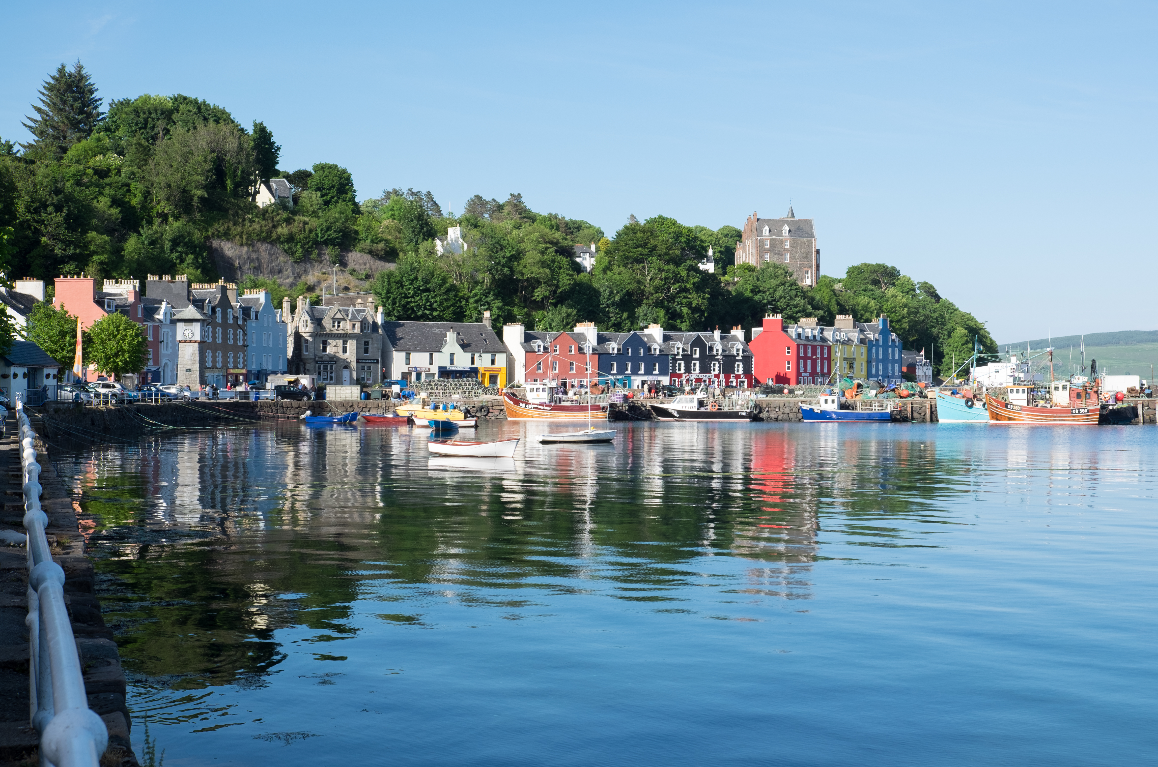
Tobermory, Mull

Tobermory (; Scottish Gaelic: Tobar Mhoire) is the capital of, and until 1973 the only burgh on, the Isle of Mull in the Scottish Inner Hebrides. It is...

Tobermory distillery

Tobermory distillery is a Scotch whisky distillery situated on the Hebridean island of Mull, Scotland in the town of Tobermory. The distillery, which...

Related Videos

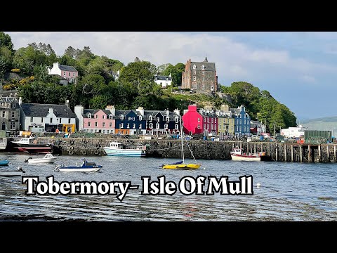
Walking in Tobermory - Isle Of Mull - Scotland | August 2023

A second walk in the picturesque town of Tobermory on the Isle of Mull. We check out the shops and cafes, take in the views and ...

Tobermory vista Bank Holiday Monday on Mull

exactly what title says. The restaurants here, regardless of Bank Holiday status, get poor reviews. Shame because this is ...

Have you been to Queen's Steps?

Leave your review of Queen's Steps below (or comments, questions and feedback).