Rubha a' Bhàillein

Coastal Feature, Headland, Point in Argyllshire

Scotland

Rubha a' Bhàillein

Morning of sea mist at Rubha a' Bhàillein Waking up to this was fantastic. A route from Craighouse along Evan's Walk and until this beach was tough but worth it.
Morning of sea mist at Rubha a' Bhàillein Credit: Richard Murchie

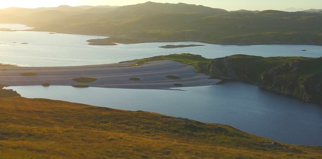
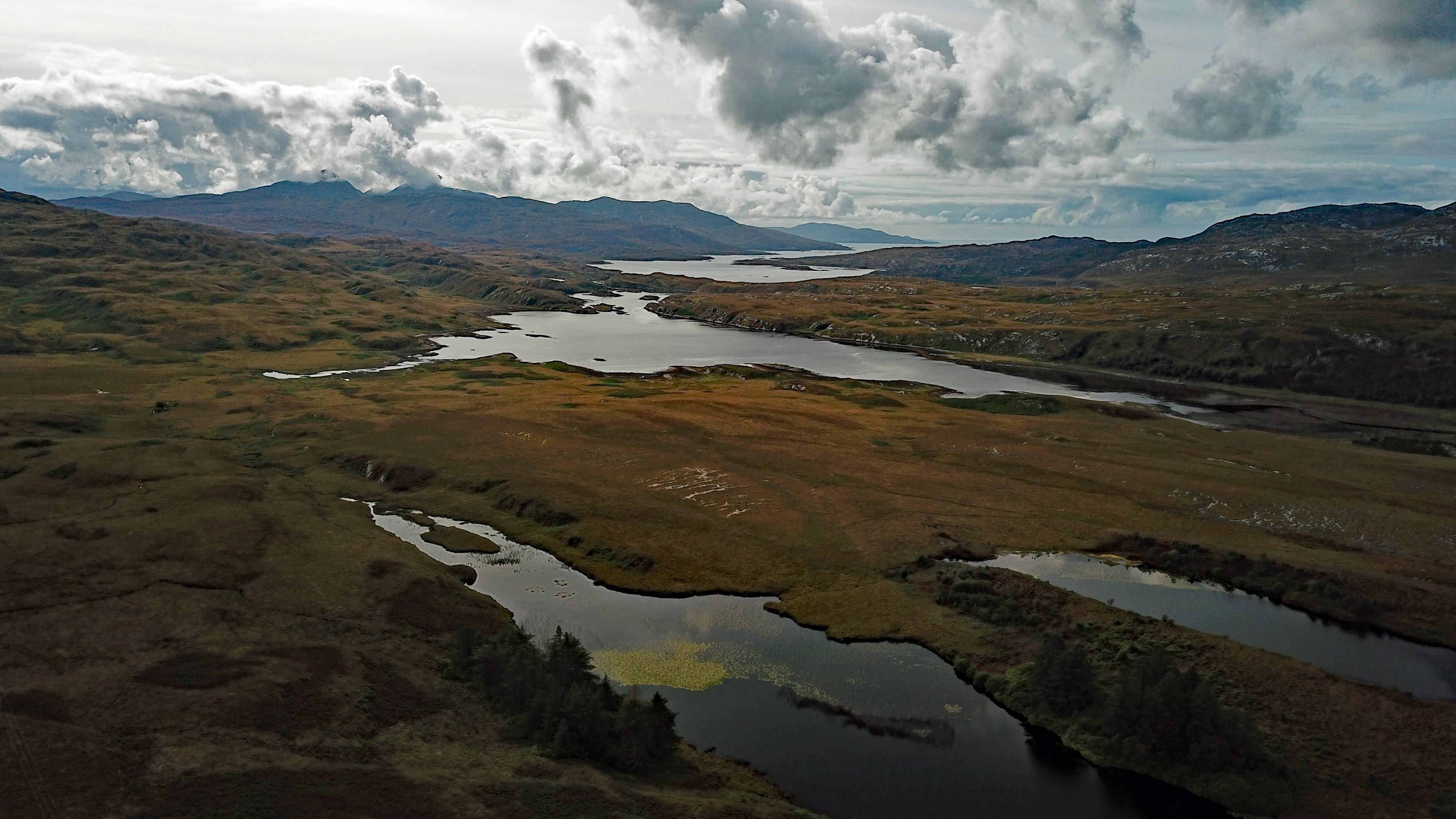
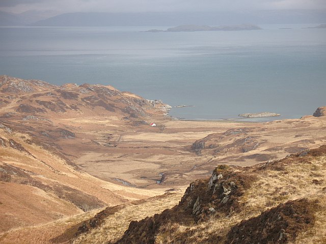
Rubha a' Bhàillein is a prominent headland located in Argyllshire, Scotland. Situated along the rugged west coast of Scotland, this coastal feature offers breathtaking views of the surrounding landscape and the Atlantic Ocean.

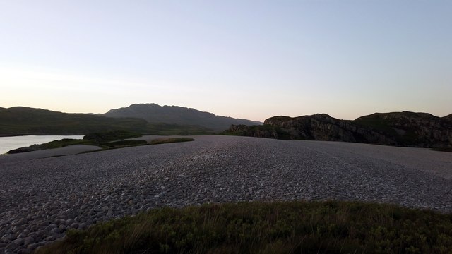
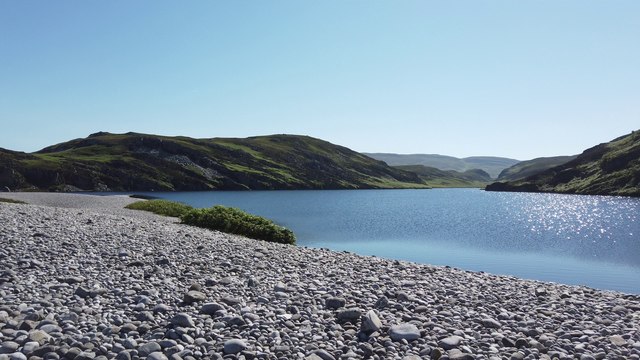
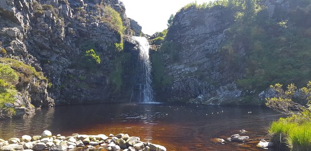
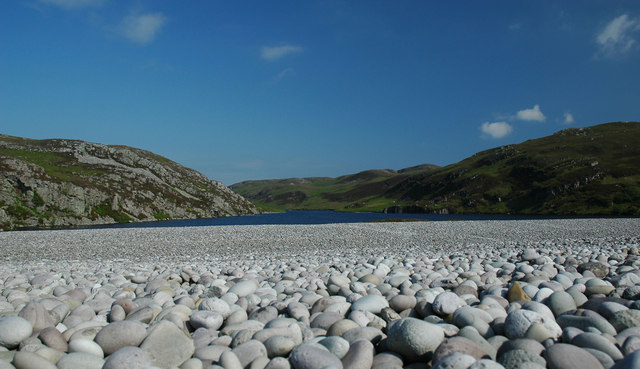
The headland is characterized by its steep cliffs and rocky terrain, which are a result of millions of years of erosion by the powerful waves crashing against its shores. The cliffs rise to a height of approximately 100 meters, providing a dramatic backdrop to the coastal scenery. The ruggedness of the area makes it a popular spot for outdoor enthusiasts, offering opportunities for hiking, birdwatching, and photography.

The headland is also home to a variety of wildlife, including seabirds such as puffins, gannets, and guillemots, which nest on the cliffs. The surrounding waters are home to seals, dolphins, and occasionally whales, adding to the richness of the area's biodiversity.

Rubha a' Bhàillein is easily accessible by a well-maintained coastal path that meanders along the coastline, offering stunning views at every turn. The path is ideal for leisurely walks, allowing visitors to immerse themselves in the natural beauty of the area.

Overall, Rubha a' Bhàillein is a picturesque headland that showcases the raw beauty of the Scottish coast. Its rugged cliffs, diverse wildlife, and panoramic views make it a must-visit destination for nature lovers and outdoor enthusiasts.

If you have any feedback on the listing, please let us know in the comments section below.

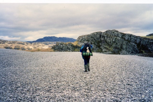
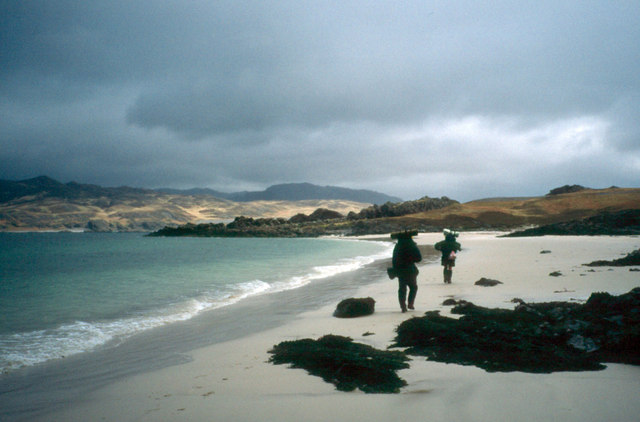
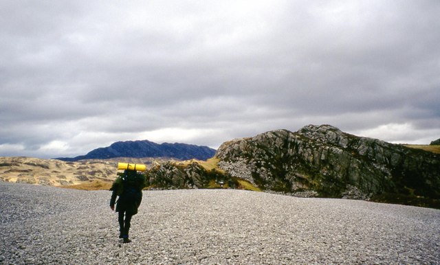
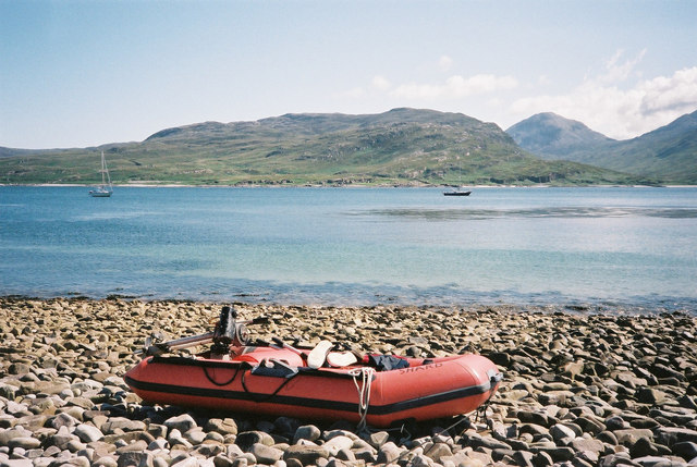
Rubha a' Bhàillein Images

Images are sourced within 2km of 55.955678/-5.9600716 or Grid Reference NR5280. Thanks to Geograph Open Source API. All images are credited.

Morning of sea mist at Rubha a' Bhàillein Waking up to this was fantastic. A route from Craighouse along Evan's Walk and until this beach was tough but worth it.
Morning of sea mist at Rubha a' Bhàillein
Waking up to this was fantastic. A route from Craighouse along Evan's Walk and until this beach was tough but worth it.
Fine sandy beach near Glenbatrick A beautiful fine white sandy beach slightly further north than Glenbatrick.
Fine sandy beach near Glenbatrick
A beautiful fine white sandy beach slightly further north than Glenbatrick.
Raised beach A raised beach flanked by the sea (Loch Tarbert) and the fresh-water body of water Lochan Maol an t-Sornaich.
Raised beach
A raised beach flanked by the sea (Loch Tarbert) and the fresh-water body of water Lochan Maol an t-Sornaich.
Raised beach A raised beach at late evening. In the background, you can see the hill named Cruib - which resides on the northern half of Jura.
Raised beach
A raised beach at late evening. In the background, you can see the hill named Cruib - which resides on the northern half of Jura.
Lochan Maol an t-Sornaich from raised beach Looking out towards Lochan Maol an t-Sornaich from the raised beach that we camped on. This was in the mid-morning.
Lochan Maol an t-Sornaich from raised beach
Looking out towards Lochan Maol an t-Sornaich from the raised beach that we camped on. This was in the mid-morning.
Waterfall near raised beach After wild camping on the raised beach nearby we thought that we wouldn't see another person for quite some time; however, this man on a powerboat travelled from the inner section of Loch Tarbet, and then rowed ashore on a dinghy. Initially bemused by his intentions, we quickly realised that he was using an industrial trimmer to clear a path through head-high ferns surrounding the waterfall.
Waterfall near raised beach
After wild camping on the raised beach nearby we thought that we wouldn't see another person for quite some time; however, this man on a powerboat travelled from the inner section of Loch Tarbet, and then rowed ashore on a dinghy. Initially bemused by his intentions, we quickly realised that he was using an industrial trimmer to clear a path through head-high ferns surrounding the waterfall.
Fine sandy beach near Glenbatrick Beautiful beach, with the hill Scrinadle in the background.
Fine sandy beach near Glenbatrick
Beautiful beach, with the hill Scrinadle in the background.
Camping at Glenbatrick, Jura
Crossing a raised beach at Loch Tarbert, Jura
Glen Batrick beach One of the least visited parts of Scotland.
Glen Batrick beach
One of the least visited parts of Scotland.
Camping by the Glenbatrick River
Raised beach, Loch Tarbert
Entrance to Outer Loch Tarbert
Overnight Camp Lowe Alpine Mountain Marathon 1997 Competitors in the 1997 relax at the overnight camp after the first days competition. Midges would not be a problem in the heatwave conditions but these competitors are leaving themselves available for a meal by deer ticks.
In the immediate distance is the rocky headland Rubh' a' Bhaillean.
Overnight Camp Lowe Alpine Mountain Marathon 1997
Competitors in the 1997 relax at the overnight camp after the first days competition. Midges would not be a problem in the heatwave conditions but these competitors are leaving themselves available for a meal by deer ticks. In the immediate distance is the rocky headland Rubh' a' Bhaillean.
Aird Reamhar One of the pilotage routes out of Middle Loch Tarbert takes you up to this point on the north shore of the loch.
Aird Reamhar
One of the pilotage routes out of Middle Loch Tarbert takes you up to this point on the north shore of the loch.
Loch Tarbert, Jura, looking South
Loch Tarbert, Jura, looking southeast
Maol an t-Sornaich Loch at top of West Loch Tarbert Raised beach
Maol an t-Sornaich
Loch at top of West Loch Tarbert Raised beach
Show me another place!

Rubha a' Bhàillein is located at Grid Ref: NR5280 (Lat: 55.955678, Lng: -5.9600716)

Unitary Authority: Argyll and Bute

Police Authority: Argyll and West Dunbartonshire

What 3 Words

///junction.tasteful.doted. Near Craighouse, Argyll & Bute

Nearby Locations

Rubha a' Bhàillein

Related Wikis

Loch Tarbert, Jura

Loch Tarbert is a sea loch on the west coast of Jura, an island in Scotland. As the name Tarbert suggests, it comes close to cutting the island in half...

Battle of the Western Isles

The Battle of the Western Isles was a series of conflicts in 1585 and 1586 on the islands of Jura, Islay, Mull and Tiree, Scotland as well as the peninsula...

Beinn Shiantaidh

Beinn Shiantaidh (Scottish Gaelic for 'holy mountain') is the second highest peak of the Paps of Jura on the island of Jura, Scotland. It stands at 757...

Beinn an Òir

Beinn an Òir (Gaelic for "mountain of gold") is the highest peak of the Paps of Jura on the island of Jura, Scotland. It is the highest peak on the island...

Nearby Amenities

Located within 500m of 55.955678,-5.9600716
Rubh' a' Bhaillein
Natural: cape
Source: OS_OpenData_StreetView
Lat/Long: 55.9556839/-5.9611135
Source: PGS
Lat/Long: 55.9548993/-5.9610533
Created By: dmgroom_coastlines
Source: PGS
Lat/Long: 55.954514/-5.961292
Source: PGS
Lat/Long: 55.9540411/-5.9619415
Source: PGS
Lat/Long: 55.9536689/-5.9624713
Source: PGS
Lat/Long: 55.9533056/-5.9631883
Source: PGS
Lat/Long: 55.953073/-5.9637294
Source: PGS
Lat/Long: 55.9528689/-5.9642977
Source: PGS
Lat/Long: 55.9528482/-5.964709
The data included in this document is from www.openstreetmap.org. The data is made available under ODbL.

Have you been to Rubha a' Bhàillein?

Leave your review of Rubha a' Bhàillein below (or comments, questions and feedback).