Beachamwell
Settlement in Norfolk Breckland
England
Beachamwell

Beachamwell is a small village located in the county of Norfolk, in eastern England. Situated approximately 15 miles southwest of the town of Swaffham, Beachamwell is surrounded by picturesque countryside and is part of the Breckland district. The village sits on the edge of the Norfolk Brecks, an area known for its unique ecology and heathland habitats.
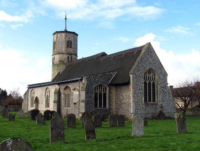
With a population of around 200 residents, Beachamwell is a tight-knit community that offers a peaceful and rural lifestyle. The village is characterized by its charming thatched cottages, historic buildings, and traditional English country charm. The local church, St. Mary's, is a prominent feature of the village, dating back to the 14th century and showcasing beautiful medieval architecture.
Despite its small size, Beachamwell has a strong sense of community and hosts various events throughout the year, including a popular summer fete. The village also has a village hall, which serves as a hub for social gatherings and community activities.
The surrounding area provides ample opportunities for outdoor activities. The nearby Peddars Way, a long-distance footpath, offers stunning walks through the Norfolk countryside, while Thetford Forest Park, a short drive away, provides opportunities for cycling, picnicking, and wildlife spotting.
Overall, Beachamwell is a picturesque and welcoming village that offers a tranquil retreat for those seeking a slower pace of life in the heart of rural Norfolk.
If you have any feedback on the listing, please let us know in the comments section below.
Beachamwell Images
Images are sourced within 2km of 52.617663/0.587088 or Grid Reference TF7505. Thanks to Geograph Open Source API. All images are credited.


Beachamwell is located at Grid Ref: TF7505 (Lat: 52.617663, Lng: 0.587088)
Administrative County: Norfolk
District: Breckland
Police Authority: Norfolk
What 3 Words
///polar.gather.magma. Near Stoke Ferry, Norfolk
Nearby Locations
Related Wikis
Beachamwell
Beachamwell is a village and civil parish in the Breckland district of Norfolk, England about 5 miles (8.0 km) south west of Swaffham and 10 miles (16...

RAF Barton Bendish
RAF Barton Bendish was an airfield for the Royal Air Force located on the far side of the Downham Market to Swaffham road from its parent station, RAF...
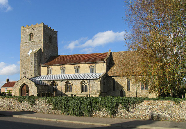
Gooderstone
Gooderstone is a village situated in the Breckland District of Norfolk and covers an area of 11.29 km2 (4.36 sq mi) with an estimated population of 390...

Barton Bendish
Barton Bendish is a civil parish and small ancient village in the English county of Norfolk located 10 miles (16 km) south of King's Lynn and 90 miles...
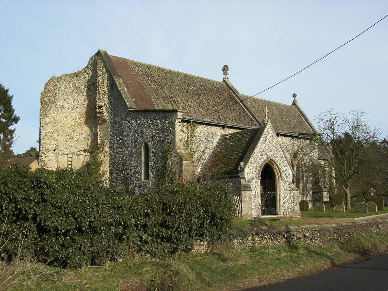
Cockley Cley
Cockley Cley is a village and civil parish in the English county of Norfolk. The village covers an area of 17.94 km2 (6.93 sq mi) and falls within the...

Oxborough
Oxborough is a village and civil parish in the English county of Norfolk, well known for its church and manor house Oxburgh Hall. It covers an area of...

RAF Marham
Royal Air Force Marham, commonly abbreviated RAF Marham (IATA: KNF, ICAO: EGYM) is a Royal Air Force station and military airbase near the village of Marham...
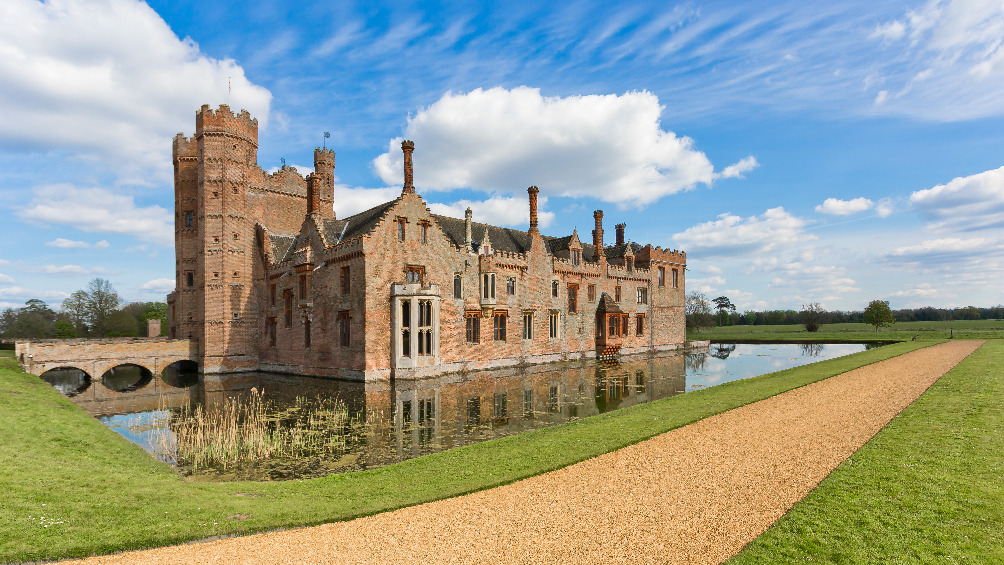
Oxburgh Hall
Oxburgh Hall is a moated country house in Oxborough, Norfolk, England. The hall was built for Sir Edmund Bedingfeld who obtained a licence to crenellate...
Nearby Amenities
Located within 500m of 52.617663,0.587088Have you been to Beachamwell?
Leave your review of Beachamwell below (or comments, questions and feedback).