Stamble's Plantation

Wood, Forest in Norfolk Breckland

England

Stamble's Plantation

Farm track east of Caldecote Farm
Farm track east of Caldecote Farm Credit: Kim Fyson

Stamble's Plantation, located in Norfolk, is a picturesque woodland area known for its natural beauty and diverse ecosystem. The plantation covers a vast expanse of land, encompassing dense forests, sprawling meadows, and serene water bodies. It is a popular destination for nature enthusiasts, hikers, and birdwatchers.

The woodland is primarily characterized by its dense growth of various tree species, including oak, beech, maple, and pine. These towering trees provide a lush canopy that filters sunlight, creating a cool and tranquil environment within the plantation. The forest floor is adorned with an array of wildflowers, ferns, and mosses, adding to the enchanting charm of the area.

Stamble's Plantation is also home to a variety of wildlife. Visitors may spot deer, foxes, rabbits, and various species of birds, including owls, woodpeckers, and songbirds. The plantation's diverse ecosystem provides a habitat for these animals, making it an ideal location for observing and appreciating nature's wonders.

The plantation offers several walking trails, allowing visitors to explore the woodland at their own pace. These trails wind through the forest, offering breathtaking views of the surrounding landscape. Additionally, there are designated picnic areas and benches strategically placed throughout the plantation, providing opportunities for visitors to relax and enjoy the serenity of their surroundings.

Stamble's Plantation, with its abundant natural beauty and diverse wildlife, is a true haven for those seeking respite from the hustle and bustle of city life. Whether it's a leisurely stroll through the forest or a peaceful picnic amidst nature, this Norfolk woodland promises an unforgettable experience for all who visit.

If you have any feedback on the listing, please let us know in the comments section below.

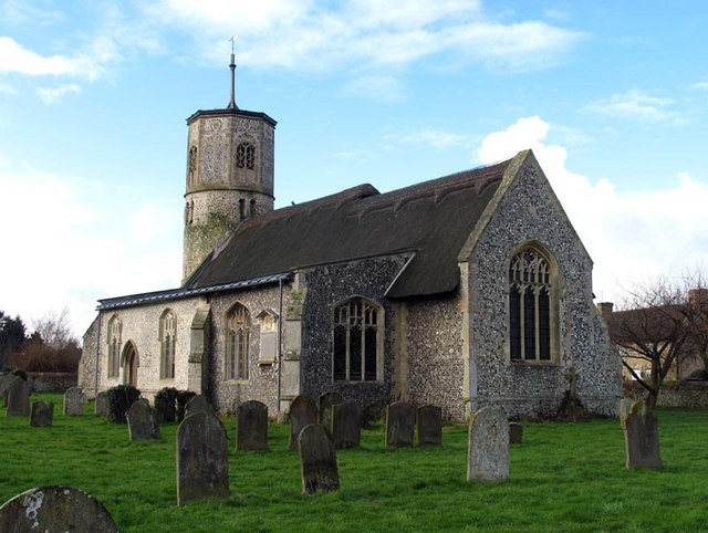
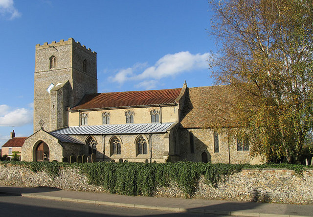
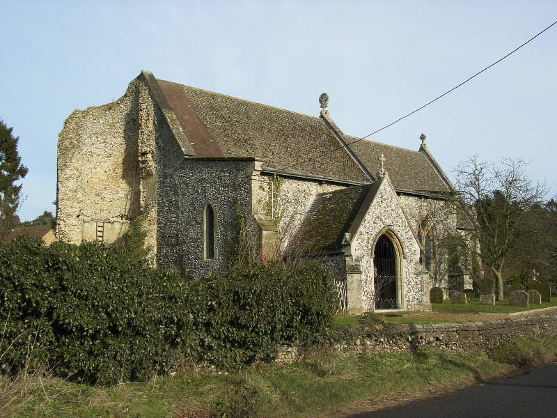
Stamble's Plantation Images

Images are sourced within 2km of 52.617164/0.59530371 or Grid Reference TF7505. Thanks to Geograph Open Source API. All images are credited.

Farm track east of Caldecote Farm
The ruin of St. John's church Beachamwell This church became redundant and the living united with All Saints in the first year of the reign of Elizabeth I (1558), like hundreds of other churches at that time. The structure dates back to the 14th c. although an earlier church may have stood on this site from before Domesday. It is believed that the stone was robbed out and cottages constructed nearby or even within the ruin. Nearby St John’s farm may contain much of the material from the site. The outline of the nave can just be ascertained by the raised area to the east of the substantial remains of the tower, parts of the walls are still standing. Putlog holes are clearly visible in the walls of the tower. Today horses seek shelter from the varying degrees of weather and sheep and lambs graze the pasture. An idyllic setting in a beautiful and tranquil part of the Norfolk countryside.
The ruin of St. John's church Beachamwell
This church became redundant and the living united with All Saints in the first year of the reign of Elizabeth I (1558), like hundreds of other churches at that time. The structure dates back to the 14th c. although an earlier church may have stood on this site from before Domesday. It is believed that the stone was robbed out and cottages constructed nearby or even within the ruin. Nearby St John’s farm may contain much of the material from the site. The outline of the nave can just be ascertained by the raised area to the east of the substantial remains of the tower, parts of the walls are still standing. Putlog holes are clearly visible in the walls of the tower. Today horses seek shelter from the varying degrees of weather and sheep and lambs graze the pasture. An idyllic setting in a beautiful and tranquil part of the Norfolk countryside.
St. Mary's church Beachamwell An interesting and ancient church, built by the Saxons. Typical Saxon openings or windows can be seen on the north and west faces, while on the east and south faces are round headed and may have been replacements after the Conquest with the Norman influence, the octagonal upper stage is 14th c. Inside the nave a high east doorway is easily recognisable. A crow-stepped gable indicates the age of the porch to be about 15th c. A terrible Victorian excuse for a font is used while the far better octagonal one from All Saints stands neglected outside the porch. The unusual profile of the columns of the arcade are interesting, more so the graffiti written thereon in the 14th c. The Jacobean pulpit and reading desk are very good quality.  In the centre of the now extended south aisle is a nice cusped piscina.
St. Mary's church Beachamwell
An interesting and ancient church, built by the Saxons. Typical Saxon openings or windows can be seen on the north and west faces, while on the east and south faces are round headed and may have been replacements after the Conquest with the Norman influence, the octagonal upper stage is 14th c. Inside the nave a high east doorway is easily recognisable. A crow-stepped gable indicates the age of the porch to be about 15th c. A terrible Victorian excuse for a font is used while the far better octagonal one from All Saints stands neglected outside the porch. The unusual profile of the columns of the arcade are interesting, more so the graffiti written thereon in the 14th c. The Jacobean pulpit and reading desk are very good quality. In the centre of the now extended south aisle is a nice cusped piscina.
Shingham St. Botolph's church
Beachamwell War Memorial The Memorial bears 12 names form WW1 and four from WW2.
Beachamwell War Memorial
The Memorial bears 12 names form WW1 and four from WW2.
Outdoor pigs
Outdoor pigs
Outdoor pigs
Outdoor pigs
Beachamwell Road
Beachamwell Road
St Mary's Church burnt out, Beachamwell See <a href="https://www.geograph.org.uk/photo/1269119">TF7505 : St Mary's church</a> for an earlier view of this church before the thatched roof and interior were lost to a fire in early February, see <span class="nowrap"><a title="https://www.bbc.co.uk/news/uk-england-norfolk-60232447" rel="nofollow ugc noopener" href="https://www.bbc.co.uk/news/uk-england-norfolk-60232447">Link</a><img style="margin-left:2px;" alt="External link" title="External link - shift click to open in new window" src="https://s1.geograph.org.uk/img/external.png" width="10" height="10"/></span>
St Mary's Church burnt out, Beachamwell
See TF7505 : St Mary's church for an earlier view of this church before the thatched roof and interior were lost to a fire in early February, see LinkExternal link
Track to Beachamwell
Field near Beachamwell
Crop boundary near Caldecote Farm No need for a hedge it seems.
Crop boundary near Caldecote Farm
No need for a hedge it seems.
Footpath through oilseed rape
Field near Folly Barn
Field near Beachamwell
Bridleway to Beachamwell
Old Carr Wet woodland south of Beachamwell.
Old Carr
Wet woodland south of Beachamwell.
Furrowed field With the footpath taking a pragmatic rather than accurate route across the fields.
Furrowed field
With the footpath taking a pragmatic rather than accurate route across the fields.
Show me another place!

Stamble's Plantation is located at Grid Ref: TF7505 (Lat: 52.617164, Lng: 0.59530371)

Administrative County: Norfolk

District: Breckland

Police Authority: Norfolk

What 3 Words

///sofa.tunes.voltages. Near Swaffham, Norfolk

Related Wikis

Beachamwell

Beachamwell is a village and civil parish in the Breckland district of Norfolk, England about 5 miles (8.0 km) south west of Swaffham and 10 miles (16...

Gooderstone

Gooderstone is a village situated in the Breckland District of Norfolk and covers an area of 11.29 km2 (4.36 sq mi) with an estimated population of 390...

RAF Barton Bendish

RAF Barton Bendish was an airfield for the Royal Air Force located on the far side of the Downham Market to Swaffham road from its parent station, RAF...

Cockley Cley

Cockley Cley is a village and civil parish in the English county of Norfolk. The village covers an area of 17.94 km2 (6.93 sq mi) and falls within the...

Nearby Amenities

Located within 500m of 52.617164,0.59530371
Barrier: kissing_gate
Lat/Long: 52.6164586/0.5981982
Barrier: kissing_gate
Lat/Long: 52.6155228/0.6014161
Booth: K6
Disused Amenity: telephone
Man Made: telephone_box
Note: No phone inside. Red Phone Box
Lat/Long: 52.6163649/0.6006456
Post Box
Collection Times: Mo-Fr 16:00; Sa 09:30
Location: In front wall of private house
Post Box Mounting: building
Post Box Type: wall
Ref: PE37 201
Royal Cypher: EVIIR
Royal Cypher Wikidata: Q33102324
Lat/Long: 52.6159825/0.6012526
Barrier: kissing_gate
Bicycle: no
Foot: yes
Lat/Long: 52.6177066/0.5941248
Barrier: kissing_gate
Bicycle: no
Foot: yes
Lat/Long: 52.6190214/0.5956569
Shingham
Man Made: village_sign
Lat/Long: 52.6202577/0.5926314
Power: pole
Lat/Long: 52.618738/0.5923276
Power: pole
Lat/Long: 52.6184791/0.5934541
Power: pole
Lat/Long: 52.6182022/0.5946343
Power: pole
Lat/Long: 52.6179138/0.5959136
Power: pole
Lat/Long: 52.61766/0.5970107
Power: pole
Lat/Long: 52.6172659/0.5979468
Power: pole
Lat/Long: 52.6168766/0.5988802
Power: pole
Lat/Long: 52.6164776/0.5998297
Power: pole
Lat/Long: 52.6155298/0.6001542
Power: pole
Lat/Long: 52.6148312/0.600401
Power: pole
Lat/Long: 52.6141616/0.6006032
The data included in this document is from www.openstreetmap.org. The data is made available under ODbL.

Have you been to Stamble's Plantation?

Leave your review of Stamble's Plantation below (or comments, questions and feedback).