Wellington Wood

Wood, Forest in Suffolk West Suffolk

England

Wellington Wood

Lakenheath Warren The area is open access land, but only between November and February, <a href="https://www.geograph.org.uk/photo/7383126">TL7779 : Open access sign</a>
Lakenheath Warren Credit: Hugh Venables

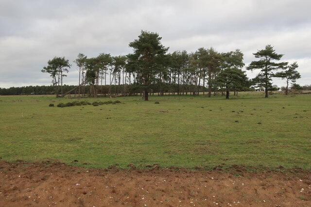
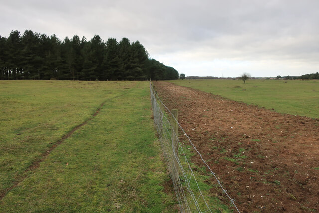
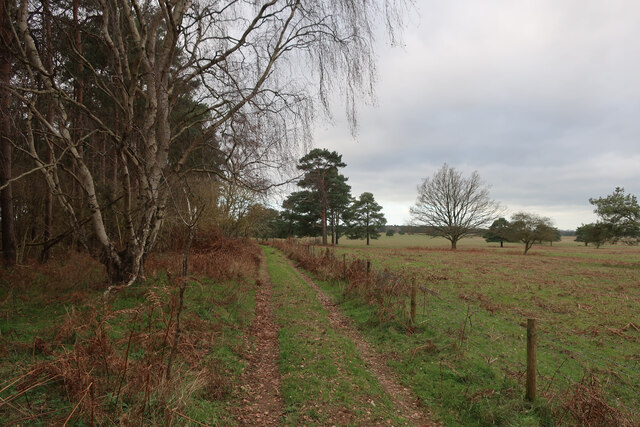
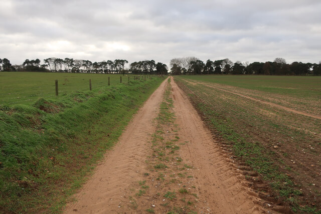
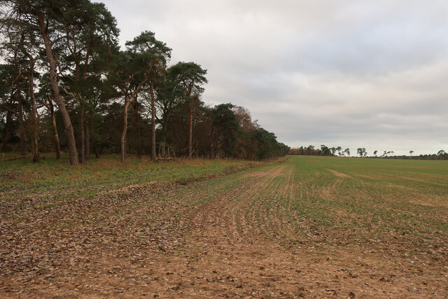
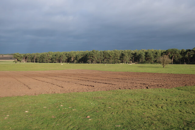
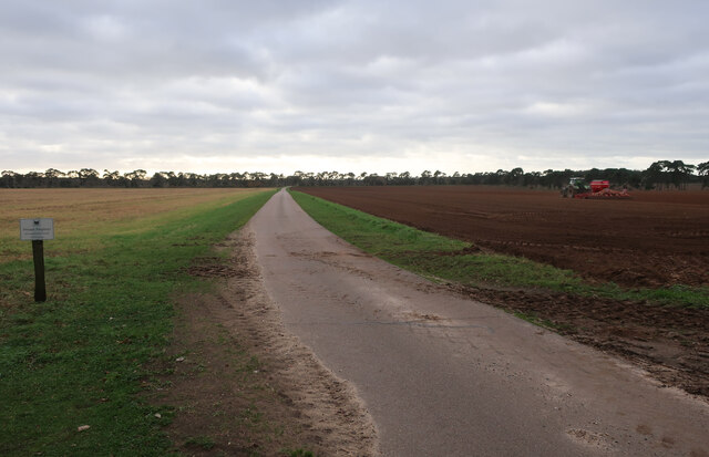
Wellington Wood is a charming woodland located in the county of Suffolk, England. Covering an area of approximately 100 hectares, it is a part of the larger Wellington Forest, which spans over 1,000 hectares of land. The wood is situated near the village of Wellington, hence its name.

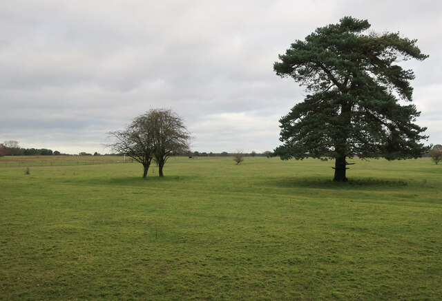
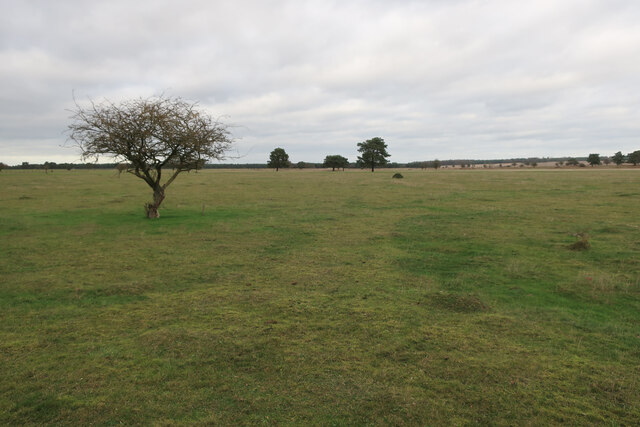
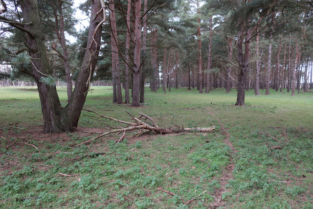
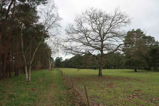
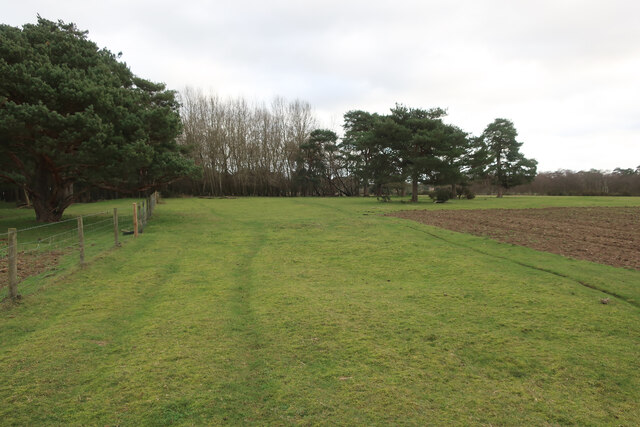
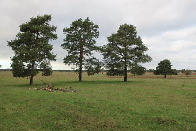
The woodland is a haven for nature enthusiasts, offering diverse ecosystems and a rich variety of plant and animal life. It is primarily composed of deciduous trees such as oak, beech, and birch, which provide a stunning display of colors during the autumn months. The forest floor is covered in a lush carpet of ferns, mosses, and wildflowers, creating a picturesque setting.

Wellington Wood is a popular destination for recreational activities, attracting hikers, birdwatchers, and photographers. Several well-maintained trails wind their way through the woodland, allowing visitors to explore its beauty at their own pace. The wood is also home to a variety of bird species, including woodpeckers, jays, and various songbirds, making it an ideal spot for birdwatching.

In addition to its natural beauty, Wellington Wood also holds historical significance. It is believed to have been a hunting ground for nobility during medieval times, and remnants of old hunting lodges can still be found within the woodland. These historical features add an extra layer of charm and intrigue to the area.

Overall, Wellington Wood is a tranquil and enchanting woodland, offering visitors a chance to immerse themselves in the beauty of nature and discover a slice of history in the heart of Suffolk.

If you have any feedback on the listing, please let us know in the comments section below.

Wellington Wood Images

Images are sourced within 2km of 52.379121/0.58127323 or Grid Reference TL7578. Thanks to Geograph Open Source API. All images are credited.

Lakenheath Warren The area is open access land, but only between November and February, <a href="https://www.geograph.org.uk/photo/7383126">TL7779 : Open access sign</a>
Lakenheath Warren
The area is open access land, but only between November and February, TL7779 : Open access sign
Lakenheath Warren The area is open access land, but only between November and February due to sensitive wildlife, <a href="https://www.geograph.org.uk/photo/7383126">TL7779 : Open access sign</a>
Lakenheath Warren
The area is open access land, but only between November and February due to sensitive wildlife, TL7779 : Open access sign
Bridleway by Lakenheath Warren
Lakenheath Warren Grassy heath. The area is open access land, but only between November and February due to sensitive wildlife, <a href="https://www.geograph.org.uk/photo/7383126">TL7779 : Open access sign</a>.
Lakenheath Warren
Grassy heath. The area is open access land, but only between November and February due to sensitive wildlife, TL7779 : Open access sign.
Pines on the edge of Lakenheath Warren
Bridleway by Lakenheath Warren Approaching some fine Red Deer stags.
Bridleway by Lakenheath Warren
Approaching some fine Red Deer stags.
Bridleway by Lakenheath Warren With stripped ground to as part of management of the area for wildlife and rare plants.
Bridleway by Lakenheath Warren
With stripped ground to as part of management of the area for wildlife and rare plants.
Open access sign Due to sensitive wildlife the area is only open access between November and February.
Open access sign
Due to sensitive wildlife the area is only open access between November and February.
Private road to High Lodge
Farm track by Partition Belt
Bridleway by Lakenheath Warren
Lakenheath Warren
Lakenheath Warren
Irrigation boom The loose sandy soil of the brecks doesn't hold much water. Good for a winter bike ride but has consequences for farming.
Irrigation boom
The loose sandy soil of the brecks doesn't hold much water. Good for a winter bike ride but has consequences for farming.
Arable field  With the loose Breckland soil susceptible to erosion, though it requires heavy rainfall to create any runoff.
Arable field
With the loose Breckland soil susceptible to erosion, though it requires heavy rainfall to create any runoff.
Bridleway by Mossy Bottom(?) The mapped route goes through Mossy Bottom, but this is the available route.
Bridleway by Mossy Bottom(?)
The mapped route goes through Mossy Bottom, but this is the available route.
Arable field by Mossy Bottom
Habitat management in Mossy Bottom Grassy heath. The area is open access land, but only between November and February due to sensitive wildlife, <a href="https://www.geograph.org.uk/photo/7383126">TL7779 : Open access sign</a>
Habitat management in Mossy Bottom
Grassy heath. The area is open access land, but only between November and February due to sensitive wildlife, TL7779 : Open access sign
Shakers Road No longer a bridleway as that has been diverted to an underpass below the dualled A11.
Shakers Road
No longer a bridleway as that has been diverted to an underpass below the dualled A11.
Show me another place!

Wellington Wood is located at Grid Ref: TL7578 (Lat: 52.379121, Lng: 0.58127323)

Administrative County: Suffolk

District: West Suffolk

Police Authority: Suffolk

What 3 Words

///factories.shrubbery.liberated. Near Lakenheath, Suffolk

Related Wikis

Lakenheath Warren

Lakenheath Warren is a 588.3-hectare (1,454-acre) biological Site of Special Scientific Interest south-east of Lakenheath in Suffolk, England. It is a...

Eriswell Low Warren

Eriswell Low Warren is a 7.4-hectare (18-acre) biological Site of Special Scientific Interest north-east of Eriswell in Suffolk. It is a Nature Conservation...

Foxhole Heath

Foxhole Heath is an 85.2-hectare (211-acre) biological Site of Special Scientific Interest east of Eriswell in Suffolk. It is a Nature Conservation Review...

How Hill Track

How Hill Track is a 3.1-hectare (7.7-acre) biological Site of Special Scientific Interest east of Mildenhall in Suffolk. It is in the Breckland Special...

Breckland Farmland

Breckland Farmland is a 13,392.4 hectare biological Site of Special Scientific Interest (SSSI) in many separate areas between Swaffham in Norfolk and Bury...

Weather and Horn Heaths, Eriswell

Weather and Horn Heaths, Eriswell is a 133.3-hectare (329-acre) biological Site of Special Scientific Interest east of Eriswell in Suffolk. It is a Nature...

Lordswell Field

Lordswell Field or Lord's Well Field is a 3.2-hectare (7.9-acre) biological Site of Special Scientific Interest in Eriswell in Suffolk. It is a Nature...

Eriswell

Eriswell is a village and civil parish of West Suffolk in the English county of Suffolk. About forty scattered archaeological finds have been made here...

Nearby Amenities

Located within 500m of 52.379121,0.58127323
Power: pole
Lat/Long: 52.380428/0.5787386
Power: pole
Lat/Long: 52.3792311/0.5752478
Power: pole
Lat/Long: 52.379817/0.5769751
Power: pole
Lat/Long: 52.3767257/0.5851212
Power: pole
Lat/Long: 52.3778138/0.5851829
Power: pole
Lat/Long: 52.3786021/0.5854927
Power: pole
Lat/Long: 52.379208/0.5861753
Power: pole
Lat/Long: 52.3797728/0.5862719
Power: pole
Lat/Long: 52.3799513/0.5854833
Power: pole
Lat/Long: 52.38021/0.5843434
Power: pole
Lat/Long: 52.3806332/0.5824819
Power: pole
Lat/Long: 52.3810687/0.5806084
The data included in this document is from www.openstreetmap.org. The data is made available under ODbL.

Have you been to Wellington Wood?

Leave your review of Wellington Wood below (or comments, questions and feedback).