Beachampton
Settlement in Buckinghamshire
England
Beachampton

Beachampton is a small village located in the county of Buckinghamshire, England. Situated approximately 6 miles north-west of Milton Keynes, the village falls within the Aylesbury Vale district. Beachampton is surrounded by picturesque countryside, and its rural setting offers a peaceful and idyllic environment.
The village is known for its charming character, with a mix of traditional red-brick and thatched cottages dotting the landscape. The local community is close-knit, and the village has a friendly and welcoming atmosphere. The population of Beachampton is relatively small, with around 200 residents.
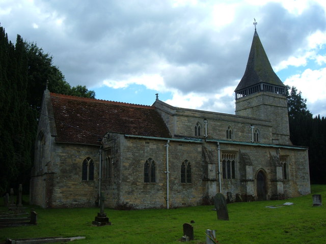
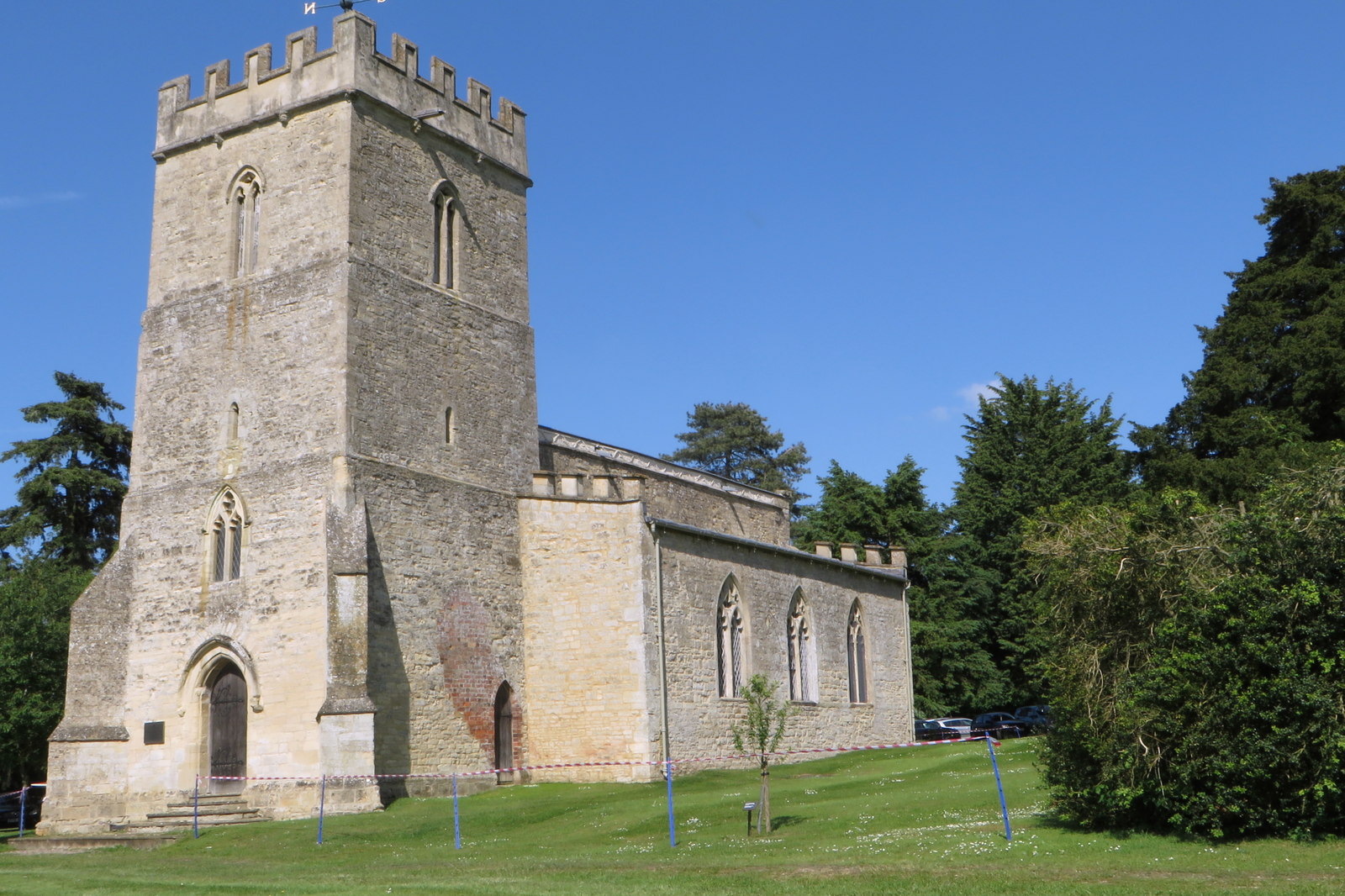
One of the notable landmarks in Beachampton is the All Saints Church, a beautiful Grade II listed building dating back to the 13th century. The church is a focal point of the village and holds regular services and events.
Despite being a small village, Beachampton benefits from its proximity to nearby towns and cities. Milton Keynes, with its extensive shopping and entertainment facilities, is easily accessible, providing residents with a range of amenities and employment opportunities. The village also benefits from good transport links, with the A421 road passing close by and providing access to major routes.
Beachampton offers a peaceful and tranquil lifestyle, with a strong sense of community and a beautiful natural environment. It is an ideal location for those seeking a rural retreat while still being within reach of urban conveniences.
If you have any feedback on the listing, please let us know in the comments section below.
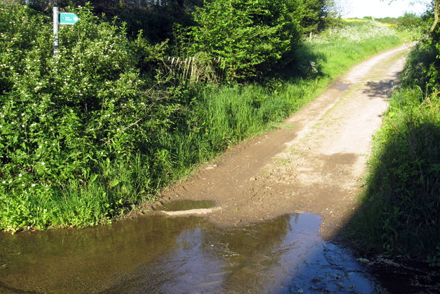
Beachampton Images
Images are sourced within 2km of 52.026626/-0.876622 or Grid Reference SP7737. Thanks to Geograph Open Source API. All images are credited.


Beachampton is located at Grid Ref: SP7737 (Lat: 52.026626, Lng: -0.876622)
Unitary Authority: Buckinghamshire
Police Authority: Thames Valley
What 3 Words
///plums.twinge.painters. Near Calverton, Buckinghamshire
Nearby Locations
Related Wikis
Beachampton
Beachampton is a village and civil parish beside the River Great Ouse in the unitary authority area of Buckinghamshire, England. The village is about 5...
St Michael and All Angels' Church, Thornton
St Michael and All Angels' Church is a redundant Anglican church in the village of Thornton, Buckinghamshire, England. It is recorded in the National...

Calverton, Buckinghamshire
Calverton is a civil parish in the unitary authority area of the City of Milton Keynes, Buckinghamshire, England and just outside the Milton Keynes urban...

Passenham
Passenham is a small village in the civil parish of Old Stratford in south-west Northamptonshire, England. It is just north of the River Great Ouse, which...
Deanshanger
Deanshanger () is a village and civil parish in West Northamptonshire, west-northwest of Milton Keynes. In 2007 it was joined with the civil parish of...
Elizabeth Woodville School
The Elizabeth Woodville School, in Northamptonshire, England, is a secondary school with academy status, run by the Tove Learning Trust. It was formed...

Nash, Buckinghamshire
Nash is a village and also a civil parish in Buckinghamshire, England, within the Buckinghamshire Council unitary authority area. It is in the north of...
Fairfields
Fairfields is a neighbourhood and civil parish that covers a large new development area on the western flank of Milton Keynes, Buckinghamshire, England...
Nearby Amenities
Located within 500m of 52.026626,-0.876622Have you been to Beachampton?
Leave your review of Beachampton below (or comments, questions and feedback).