A' Chlèit

Coastal Feature, Headland, Point in Argyllshire

Scotland

A' Chlèit

Claggain Bay Claggain Bay with the Claggain River entering the bay.
Claggain Bay Credit: Andrew Wood

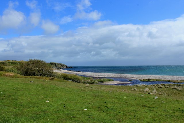
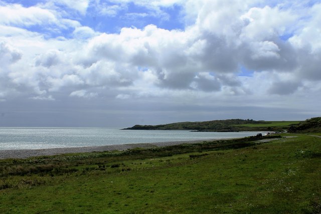
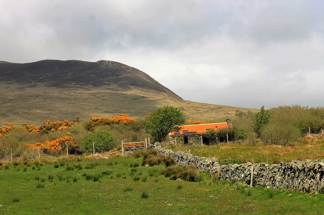
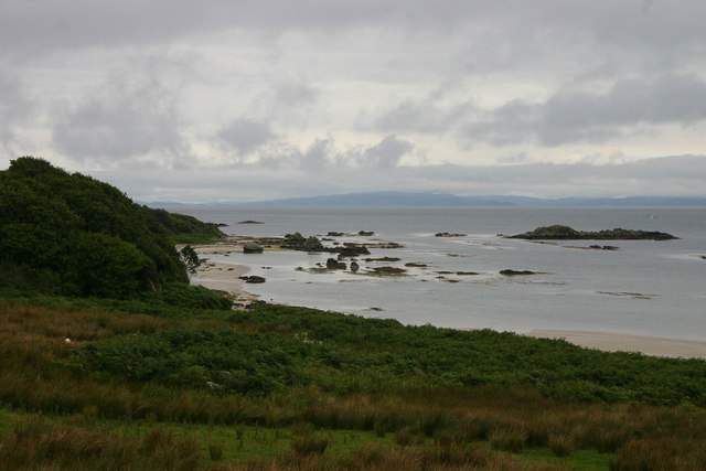
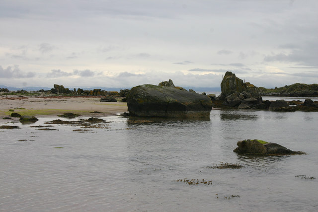
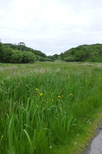
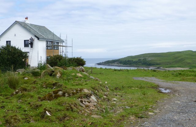
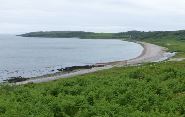
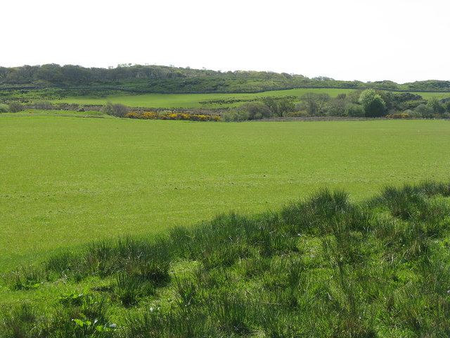
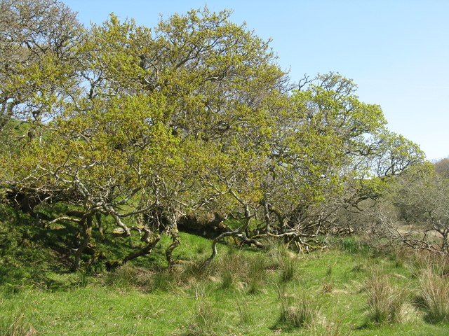
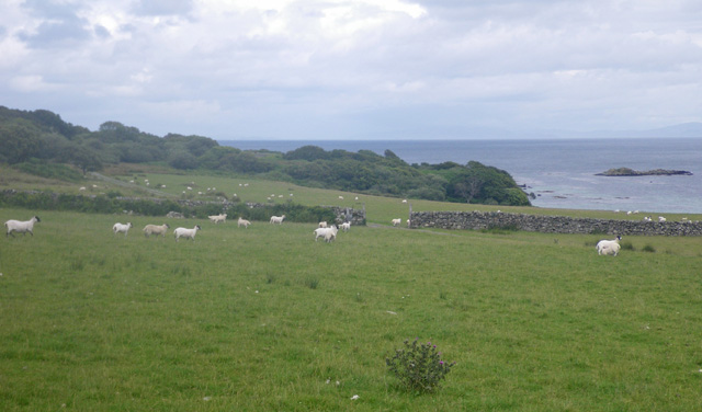
A' Chlèit is a prominent headland located in Argyllshire, Scotland. Situated on the western coast of the country, it juts out into the Atlantic Ocean, offering stunning views of the surrounding landscape. The headland is known for its rugged beauty, with towering cliffs and rocky outcrops creating a dramatic and picturesque setting.

The name A' Chlèit is derived from the Gaelic language, meaning "the slope" or "the incline." It accurately describes the physical geography of the area, as the headland features steep slopes that descend into the sea below. The cliffs that line the coastline are composed of ancient rock formations, showcasing the geological history of the region.

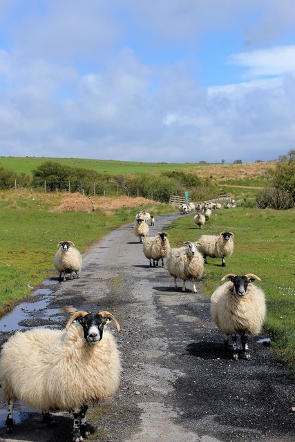
A' Chlèit is a popular destination for nature enthusiasts and hikers, who are drawn to its untamed beauty and breathtaking vistas. The headland offers numerous walking trails, allowing visitors to explore its rugged terrain and observe the diverse wildlife that inhabits the area. Seabirds such as puffins, razorbills, and guillemots can often be seen nesting on the cliffs, while seals and dolphins can occasionally be spotted in the surrounding waters.

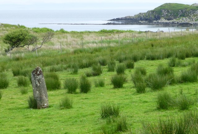
In addition to its natural wonders, A' Chlèit also holds historical significance. The area is dotted with ancient ruins and archaeological sites, providing glimpses into the past civilizations that once thrived in this remote location. These remains serve as a reminder of the rich cultural heritage of Argyllshire and its connection to the land.

Overall, A' Chlèit is a captivating coastal feature that showcases the raw beauty of the Scottish coastline. Its rugged cliffs, diverse wildlife, and historical significance make it a must-visit destination for nature lovers and history enthusiasts alike.

If you have any feedback on the listing, please let us know in the comments section below.
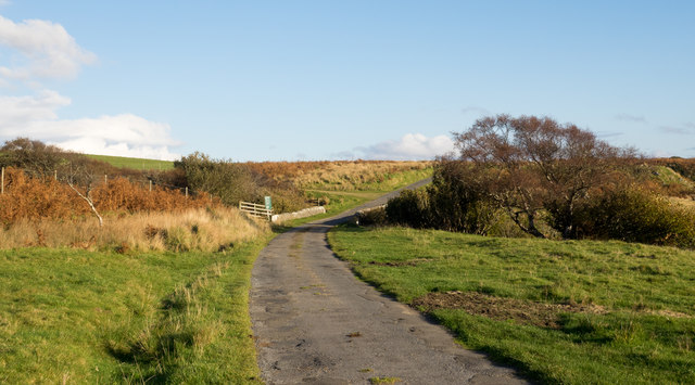
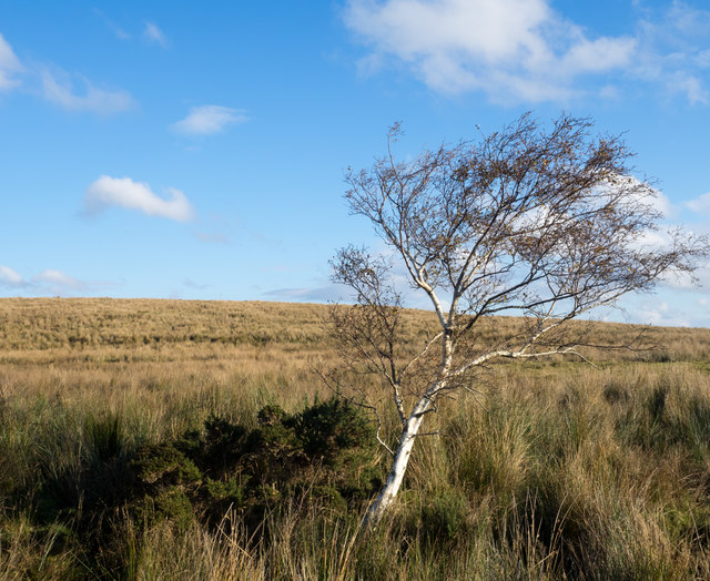
A' Chlèit Images

Images are sourced within 2km of 55.702011/-6.0363588 or Grid Reference NR4652. Thanks to Geograph Open Source API. All images are credited.

Claggain Bay Claggain Bay with the Claggain River entering the bay.
Claggain Bay
Claggain Bay with the Claggain River entering the bay.
Claggain to the South A view of Claggain Bay to the south with Rubha a' Bhuic in the distance.
Claggain to the South
A view of Claggain Bay to the south with Rubha a' Bhuic in the distance.
Red Roof by Ardtalla A red roofed deserted bothy by Ardtalla.
Red Roof by Ardtalla
A red roofed deserted bothy by Ardtalla.
Rush hour Sheep monopolising the road by Claggain - and why not, it's their space?
Rush hour
Sheep monopolising the road by Claggain - and why not, it's their space?
Road alongside Claggain Bay The minor road is nearing its end at Ardtalla on the east coast of Islay.
Road alongside Claggain Bay
The minor road is nearing its end at Ardtalla on the east coast of Islay.
Moorland near to Ardtalla The moorland with a lone birch tree is near to Ardtalla, a remote location at the end of a minor road on the east coast of Islay.
Moorland near to Ardtalla
The moorland with a lone birch tree is near to Ardtalla, a remote location at the end of a minor road on the east coast of Islay.
Claggain Bay Islay The first time we came here we had the pleasure of seeing three Otters frollicking on the rocks close in to the shore.
Claggain Bay Islay
The first time we came here we had the pleasure of seeing three Otters frollicking on the rocks close in to the shore.
Rocks on the shore At Claggain Bay the sand and rocks make for a varied shore, with a huge variety of shore life. We saw Otters here the first time we visited, but so far have never seen them here again.
Rocks on the shore
At Claggain Bay the sand and rocks make for a varied shore, with a huge variety of shore life. We saw Otters here the first time we visited, but so far have never seen them here again.
Yellow Irises  Beside the track to Ardmore.
Yellow Irises
Beside the track to Ardmore.
House with a view Looking over Aros Bay.
House with a view
Looking over Aros Bay.
The Old Schoolhouse At Aros.
The Old Schoolhouse
At Aros.
Standing Stone  At southern end of Claggain Bay.
Standing Stone
At southern end of Claggain Bay.
The beach at Claggain Bay A delightful spot, even better when the sun shines!
The beach at Claggain Bay
A delightful spot, even better when the sun shines!
Economical (Roman?) milestone Paint occasionally.
Economical (Roman?) milestone
Paint occasionally.
Track to Ardtalla Between the cattle and sheep!
Track to Ardtalla
Between the cattle and sheep!
Milestone on the road to Ardtalla PORT ELLEN VIII, with Beinn Bheigier beyond.
Milestone on the road to Ardtalla
PORT ELLEN VIII, with Beinn Bheigier beyond.
Pasture between Kintour and Aros With patches of rush and woodland.
Pasture between Kintour and Aros
With patches of rush and woodland.
Oaks at Ardmore On a slight rise in rocky grassland.
Oaks at Ardmore
On a slight rise in rocky grassland.
Show me another place!

A' Chlèit is located at Grid Ref: NR4652 (Lat: 55.702011, Lng: -6.0363588)

Unitary Authority: Argyll and Bute

Police Authority: Argyll and West Dunbartonshire

What 3 Words

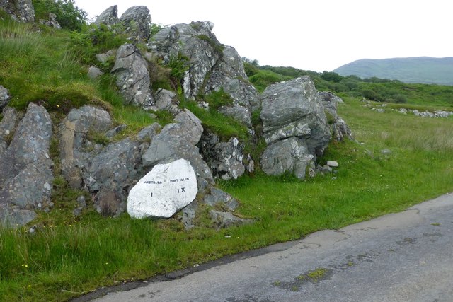
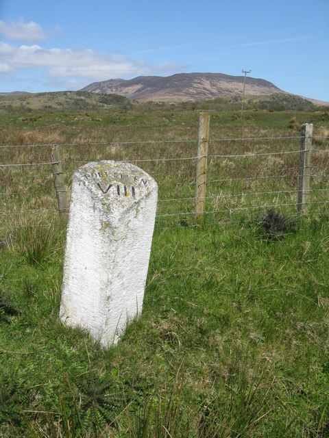
///headache.sleepy.imprints. Near Port Ellen, Argyll & Bute

Related Wikis

Claggain Bay

Claggain Bay is an inlet on the southeast of Islay, Scotland. A well known walking path follows near to Claggain Bay and continues to Ardtalla. == See... ==

Aros Bay

Aros Bay is an embayment of ocean waters near the southeast of Islay, Scotland. == See also == Claggain Bay == Line notes == == References == Alexander...

Ardtalla

Ardtalla (Scottish Gaelic: 'Àird Talla') is a place name and estate in the southeast coastal area of Islay, Scotland. The name derives from Gaelic Àird...

Kildalton Cross

The Kildalton Cross is a monolithic high cross in Celtic cross form in the churchyard of the former parish church of Kildalton (from Scottish Gaelic Cill...

Nearby Amenities

Located within 500m of 55.702011,-6.0363588
Trudernish
Name Gd: Trùdairnis
Place: hamlet
Lat/Long: 55.699504/-6.0416099
Power: pole
Lat/Long: 55.6993872/-6.0421204
The data included in this document is from www.openstreetmap.org. The data is made available under ODbL.

Have you been to A' Chlèit?

Leave your review of A' Chlèit below (or comments, questions and feedback).