Sgeir nam Foachag
Coastal Feature, Headland, Point in Argyllshire
Scotland
Sgeir nam Foachag
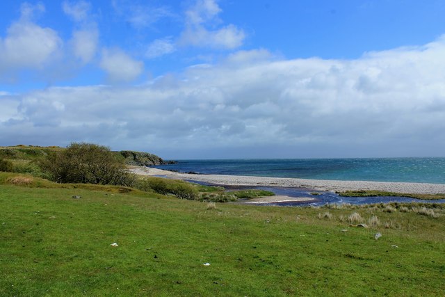
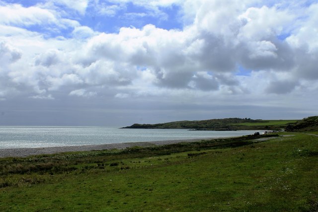
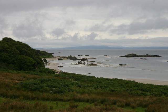
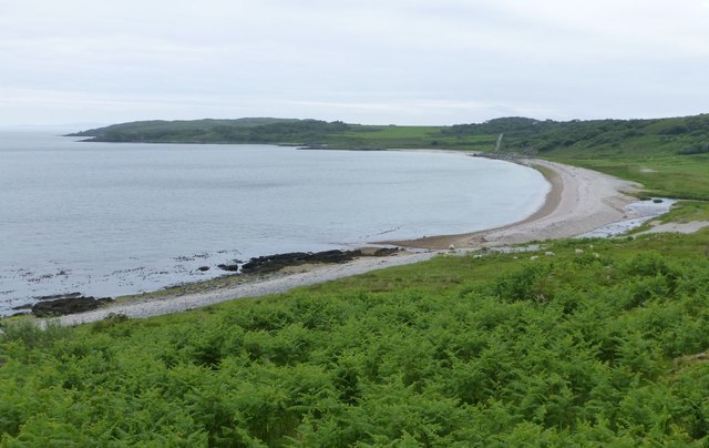
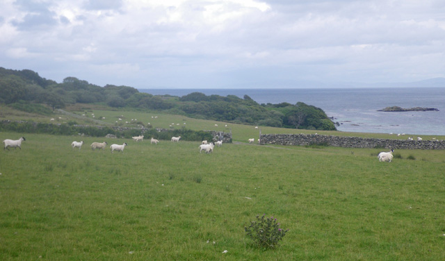
Sgeir nam Foachag is a prominent coastal feature located in Argyllshire, Scotland. It is a headland or point that juts out into the sea, offering stunning views of the surrounding landscape and the vast expanse of the Atlantic Ocean.
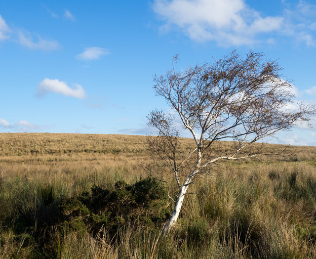
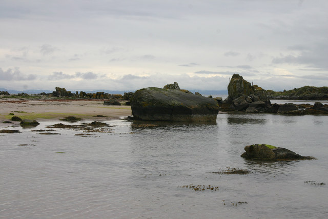
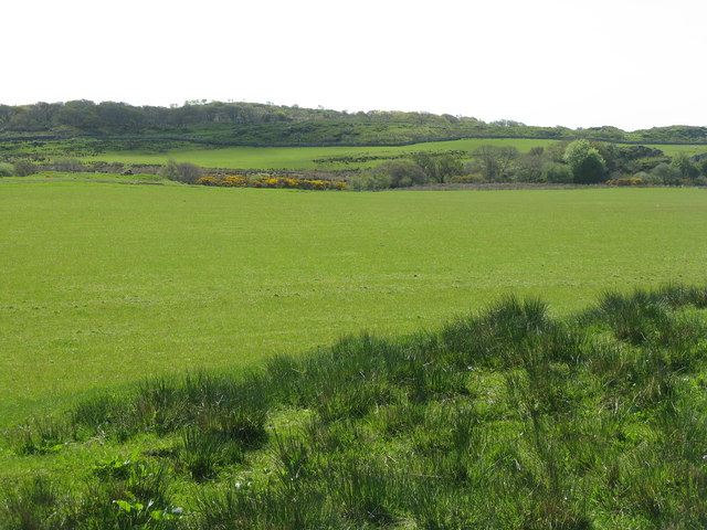
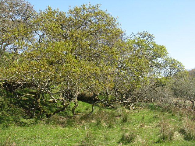
Situated in a remote and rugged area, Sgeir nam Foachag is known for its dramatic cliffs and rocky terrain. The headland is characterized by its sheer vertical drops, which can reach impressive heights, adding to its visual appeal. The cliffs are often weathered by the strong winds and sea spray, creating a rugged and wild atmosphere.
The coastline around Sgeir nam Foachag is also home to a diverse range of wildlife. The rocky shores provide nesting sites for seabirds such as gulls, puffins, and razorbills. Visitors may be lucky enough to witness these graceful creatures soaring through the air or swimming in the nearby waters.
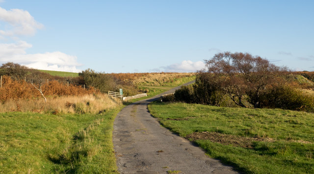
The headland is accessible via a walking trail that winds along the coastline, providing an opportunity for outdoor enthusiasts to explore the area's natural beauty. The trail offers panoramic views of the surrounding mountains and islands, making it a popular destination for hikers and nature lovers.
Sgeir nam Foachag is a place of natural beauty and tranquility, offering visitors a chance to immerse themselves in the rugged splendor of the Scottish coastline. Its dramatic cliffs, diverse wildlife, and breathtaking views make it a must-visit destination for anyone seeking an authentic and awe-inspiring coastal experience.
If you have any feedback on the listing, please let us know in the comments section below.
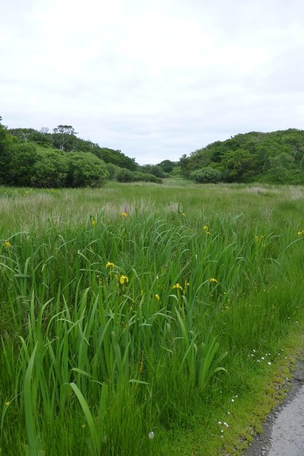
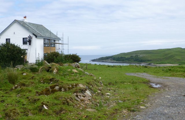
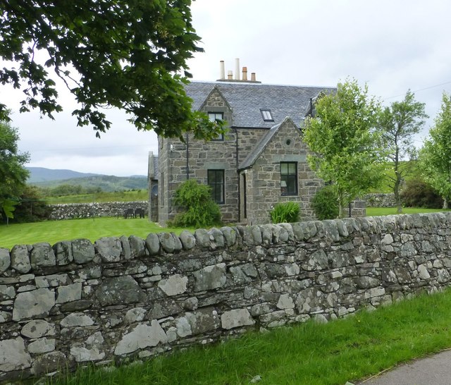
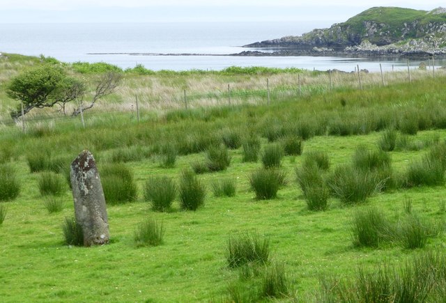
Sgeir nam Foachag Images
Images are sourced within 2km of 55.702033/-6.0326663 or Grid Reference NR4652. Thanks to Geograph Open Source API. All images are credited.
Sgeir nam Foachag is located at Grid Ref: NR4652 (Lat: 55.702033, Lng: -6.0326663)
Unitary Authority: Argyll and Bute
Police Authority: Argyll and West Dunbartonshire
What 3 Words
///binds.defensive.explain. Near Port Ellen, Argyll & Bute
Nearby Locations
Related Wikis

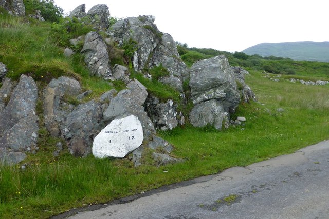
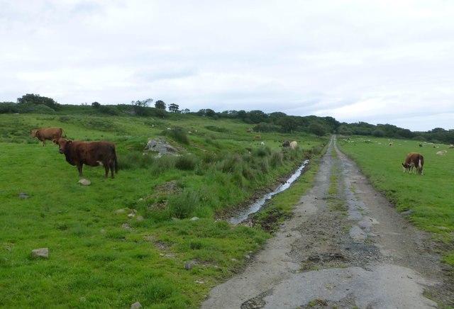
Claggain Bay
Claggain Bay is an inlet on the southeast of Islay, Scotland. A well known walking path follows near to Claggain Bay and continues to Ardtalla. == See... ==

Aros Bay
Aros Bay is an embayment of ocean waters near the southeast of Islay, Scotland. == See also == Claggain Bay == Line notes == == References == Alexander...
Ardtalla
Ardtalla (Scottish Gaelic: 'Àird Talla') is a place name and estate in the southeast coastal area of Islay, Scotland. The name derives from Gaelic Àird...

Kildalton Cross
The Kildalton Cross is a monolithic high cross in Celtic cross form in the churchyard of the former parish church of Kildalton (from Scottish Gaelic Cill...
Have you been to Sgeir nam Foachag?
Leave your review of Sgeir nam Foachag below (or comments, questions and feedback).