An Dubh-Sgeire

Coastal Feature, Headland, Point in Inverness-shire

Scotland

An Dubh-Sgeire

House and old school, by Doire-nam-Bò On the shore of Camas nan Gall, a bay on the east side of Soay.

The building on the right is the former Soay Primary School. It has been disused for a number of years, due to lack of pupils. It officially closed in 2005, and was sold off by Highland Council in 2015. It is now being renovated as a house.
House and old school, by Doire-nam-Bò Credit: Craig Wallace

An Dubh-Sgeire is a prominent coastal feature located in Inverness-shire, Scotland. It is a headland or point that juts out into the sea, offering stunning views of the surrounding landscape and the vast ocean. The name "An Dubh-Sgeire" translates to "The Black Skerry" in English, which aptly describes the dark, rocky nature of the area.

Situated on the western coast of Inverness-shire, An Dubh-Sgeire is known for its rugged and dramatic cliffs that overlook the Atlantic Ocean. The headland is composed of dark, volcanic rocks that have been shaped by centuries of erosion from the crashing waves. These rocks create a stark contrast against the vibrant blue waters, making it a popular spot for photographers and nature enthusiasts.

The headland is also home to a diverse range of wildlife, including seabirds that nest on the cliffs. Visitors often have the opportunity to observe species such as gulls, fulmars, and kittiwakes in their natural habitat. Seals can sometimes be spotted basking on the rocks or swimming in the surrounding waters, adding to the area's natural beauty.

Access to An Dubh-Sgeire is usually via a coastal path that winds along the edge of the headland, providing breathtaking panoramic views of the sea and surrounding coastline. The path may be challenging in places due to the steep terrain, but it rewards hikers with a unique and unforgettable experience.

Overall, An Dubh-Sgeire is a remarkable coastal feature that showcases the raw beauty of Inverness-shire's coastline. Its majestic cliffs, diverse wildlife, and captivating views make it a must-visit destination for those seeking an authentic and awe-inspiring Scottish coastal experience.

If you have any feedback on the listing, please let us know in the comments section below.

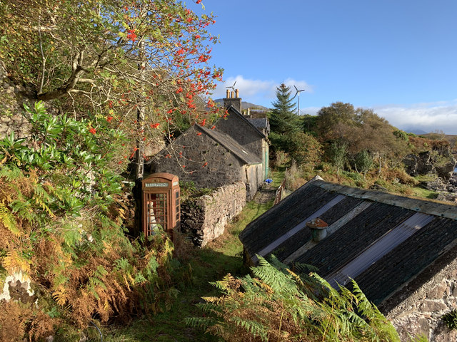
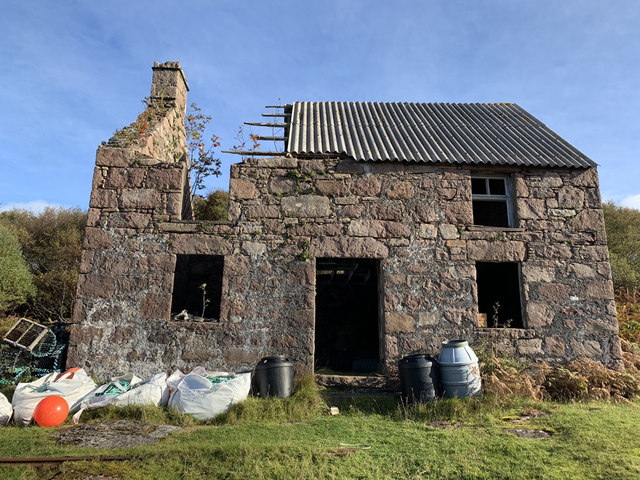
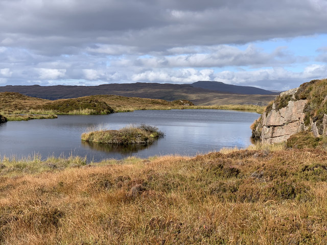
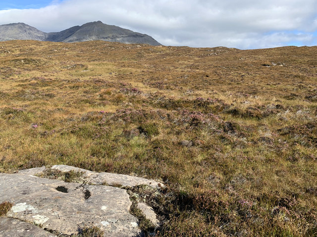
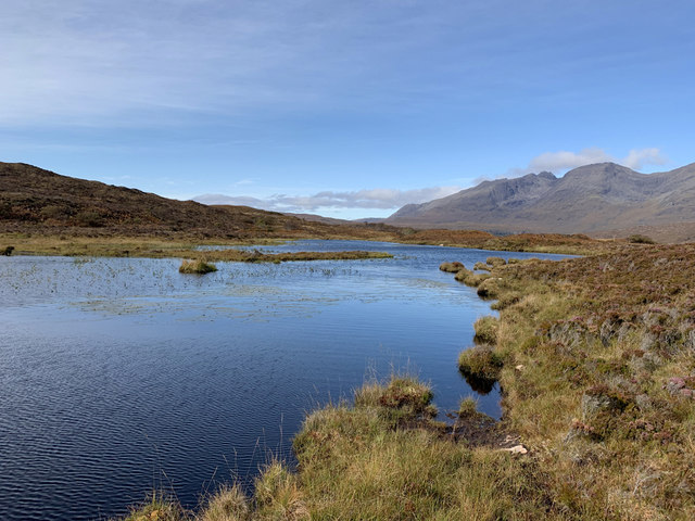
An Dubh-Sgeire Images

Images are sourced within 2km of 57.147198/-6.1888855 or Grid Reference NG4614. Thanks to Geograph Open Source API. All images are credited.

House and old school, by Doire-nam-Bò On the shore of Camas nan Gall, a bay on the east side of Soay.

The building on the right is the former Soay Primary School. It has been disused for a number of years, due to lack of pupils. It officially closed in 2005, and was sold off by Highland Council in 2015. It is now being renovated as a house.
House and old school, by Doire-nam-Bò
On the shore of Camas nan Gall, a bay on the east side of Soay. The building on the right is the former Soay Primary School. It has been disused for a number of years, due to lack of pupils. It officially closed in 2005, and was sold off by Highland Council in 2015. It is now being renovated as a house.
Mail boat, Soay This is the postal service to the island of Soay. Mail is delivered once a week by the MV Sheerwater, which sails from Arisaig via Rùm. Soay does not have a jetty, so this dinghy is rowed out to meet it in Camas nan Gall.
Mail boat, Soay
This is the postal service to the island of Soay. Mail is delivered once a week by the MV Sheerwater, which sails from Arisaig via Rùm. Soay does not have a jetty, so this dinghy is rowed out to meet it in Camas nan Gall.
The Schoolhouse, Soay The last pupil left the island in 1997.
The Schoolhouse, Soay
The last pupil left the island in 1997.
Former Post Office, Soay
Soay House and phone box Soay House, built in 1890 as a mission hall, was converted in the 1950s by the harpooner Tex Geddes <span class="nowrap"><a title="https://en.wikipedia.org/wiki/Tex_Geddes" rel="nofollow ugc noopener" href="https://en.wikipedia.org/wiki/Tex_Geddes">Link</a><img style="margin-left:2px;" alt="External link" title="External link - shift click to open in new window" src="https://s1.geograph.org.uk/img/external.png" width="10" height="10"/></span> to be his and his wife Jeanne's home.
Soay House and phone box
Soay House, built in 1890 as a mission hall, was converted in the 1950s by the harpooner Tex Geddes LinkExternal link to be his and his wife Jeanne's home.
The head of Soay Harbour A fine natural harbour in the north coast of Soay.
The building on the far shore part of the famous shark fishery operated by Gavin Maxwell and Tex Geddes.
The mountains beyond are part of the Skye Cuillin, with Sgurr nan Eag central.
The head of Soay Harbour
A fine natural harbour in the north coast of Soay. The building on the far shore part of the famous shark fishery operated by Gavin Maxwell and Tex Geddes. The mountains beyond are part of the Skye Cuillin, with Sgurr nan Eag central.
Remains of the Soay Shark Fishery The HQ of Gavin Maxwell's bonkers enterprise, one effect of which was to massively reduce the population of basking sharks in the Hebrides. It's a pretty sight though.
Remains of the Soay Shark Fishery
The HQ of Gavin Maxwell's bonkers enterprise, one effect of which was to massively reduce the population of basking sharks in the Hebrides. It's a pretty sight though.
Soay Shark Fishery The HQ of Gavin Maxwell's bonkers enterprise, one effect of which was to massively reduce the population of basking sharks in the Hebrides.
Soay Shark Fishery
The HQ of Gavin Maxwell's bonkers enterprise, one effect of which was to massively reduce the population of basking sharks in the Hebrides.
Lochan on Beinn Bhreac The local lies only just below the 141m summit of the hill. The background skyline is part of the nearby Isle of Skye.
Lochan on Beinn Bhreac
The local lies only just below the 141m summit of the hill. The background skyline is part of the nearby Isle of Skye.
Trig point on Beinn Bhreac, Soay A vanessa tube on the 141m high point of the island.
The central mountain in the background is Bla-Bheinn on the Isle of Skye.
Trig point on Beinn Bhreac, Soay
A vanessa tube on the 141m high point of the island. The central mountain in the background is Bla-Bheinn on the Isle of Skye.
Doire Mhòr moorland, Soay Heathery and in places very wet moorland in south east Soay.
The background peak is the top of Gars-bheinn on Skye.
Doire Mhòr moorland, Soay
Heathery and in places very wet moorland in south east Soay. The background peak is the top of Gars-bheinn on Skye.
Cattle pens at the head of Camas nan Gall Long disused pens and shed on Soay, which no longer has any cattle.
Cattle pens at the head of Camas nan Gall
Long disused pens and shed on Soay, which no longer has any cattle.
Shoreline of Camas nan Gall, Soay Looking across the bay to its east shore, with mountains on Skye in the background.
Shoreline of Camas nan Gall, Soay
Looking across the bay to its east shore, with mountains on Skye in the background.
Sandstone cliff at Rubha Dubh, Soay
Loch an Rubha Dhuibh A hill loch in the moorland above Leac-stearnan. It is a water supply for some of the buildings on the coast of Camas nan Gall.
Loch an Rubha Dhuibh
A hill loch in the moorland above Leac-stearnan. It is a water supply for some of the buildings on the coast of Camas nan Gall.
Corrugated iron house at Leac-stearnan At the southern end of the buildings scattered along the western shore of Camas nan Gall, Soay.
The background mountains are in the southern part of the Skye Cuillin, with Sgurr nan Eag most visible between the trees.
Corrugated iron house at Leac-stearnan
At the southern end of the buildings scattered along the western shore of Camas nan Gall, Soay. The background mountains are in the southern part of the Skye Cuillin, with Sgurr nan Eag most visible between the trees.
Rubha Dubh, Soay Exposures of Torridon Sandstone cover most of the area of the headland.
The land on the far side of the water is the coastline north of Elgol on the Isle of Skye.
Rubha Dubh, Soay
Exposures of Torridon Sandstone cover most of the area of the headland. The land on the far side of the water is the coastline north of Elgol on the Isle of Skye.
Beinn Bhreac (Soay) Second island of the day on a RIB from Elgol on day of Marhofn 2011 annual meeting in Portree organised by Alan Holmes. Did Wiay first,with Rob Woodall and Bob Taylor. This was Ann Bowker's last sub Marilyn so whisky to celebrate.
Name: Beinn Bhreac (Soay)
Hill number: 1278
Height: 141m / 463ft
Area: 17B: Minginish and the Cuillin Hills
Class: Hu,sMa
Grid ref: NG 46214 15484
Summit feature: rock 4m N of trig point
Drop: 141m
Col: Sea
Beinn Bhreac (Soay)
Second island of the day on a RIB from Elgol on day of Marhofn 2011 annual meeting in Portree organised by Alan Holmes. Did Wiay first,with Rob Woodall and Bob Taylor. This was Ann Bowker's last sub Marilyn so whisky to celebrate. Name: Beinn Bhreac (Soay) Hill number: 1278 Height: 141m / 463ft Area: 17B: Minginish and the Cuillin Hills Class: Hu,sMa Grid ref: NG 46214 15484 Summit feature: rock 4m N of trig point Drop: 141m Col: Sea
Show me another place!

An Dubh-Sgeire is located at Grid Ref: NG4614 (Lat: 57.147198, Lng: -6.1888855)

Unitary Authority: Highland

Police Authority: Highlands and Islands

What 3 Words

///cult.elevated.overdone. Near Elgol, Highland

Related Wikis

Soay, Inner Hebrides

Soay (Scottish Gaelic: Sòdhaigh, pronounced [ˈs̪ɔː.aj]) is an island just off the coast of Skye, in the Inner Hebrides of Scotland. == Geography == Soay...

Strathaird

Strathaird is a peninsula on the island of Skye, Scotland, situated between Loch Slapin and Loch Scavaig on the south coast.W. H. Murray said that "Skye...

Elgol

Elgol (Scottish Gaelic: Ealaghol) is a village on the shores of Loch Scavaig towards the end of the Strathaird peninsula in the Isle of Skye, in the Scottish...

Sgùrr nan Eag

Sgùrr nan Eag is a mountain 924 metres (3,031 ft) high in the Cuillin range on the Isle of Skye, Scotland. It is the southernmost Munro of the Cuillins...

Have you been to An Dubh-Sgeire?

Leave your review of An Dubh-Sgeire below (or comments, questions and feedback).