A' Bhriogais
Coastal Feature, Headland, Point in Argyllshire
Scotland
A' Bhriogais
A' Bhriogais, located in Argyllshire, Scotland, is a prominent coastal feature that takes the form of a dramatic headland or point. Known for its rugged beauty and commanding presence, A' Bhriogais attracts numerous visitors and outdoor enthusiasts throughout the year.
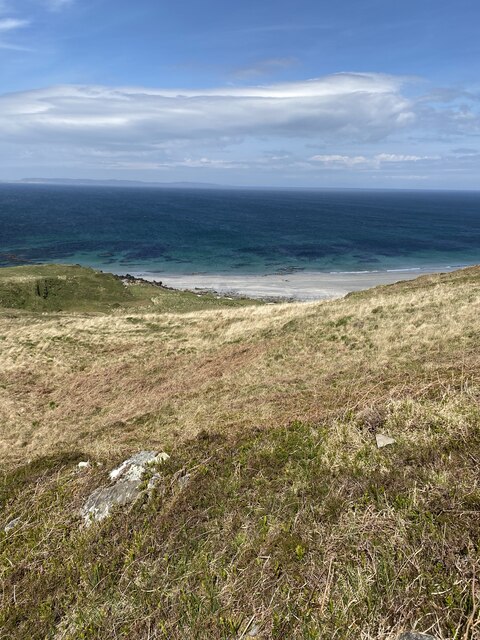
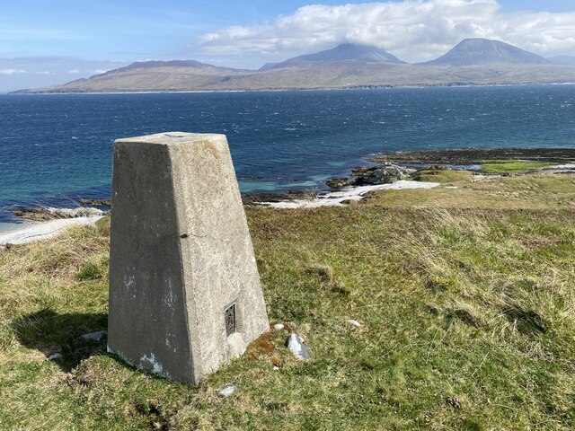
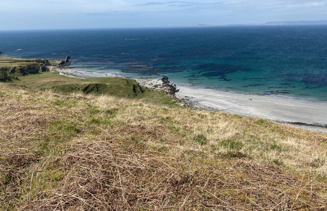
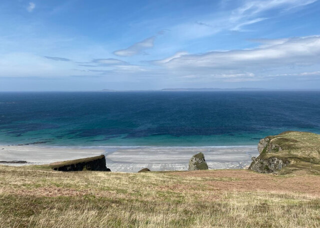
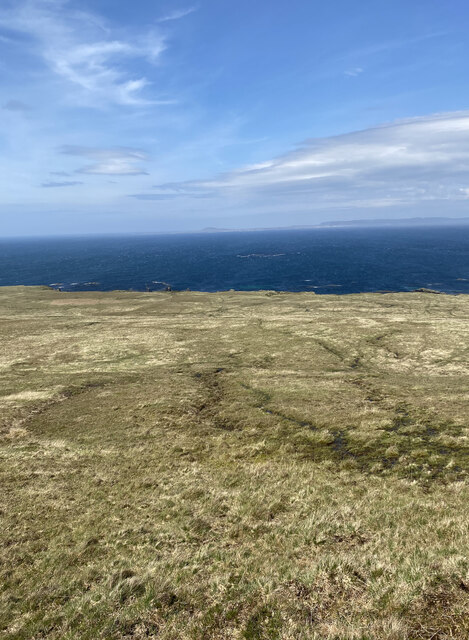
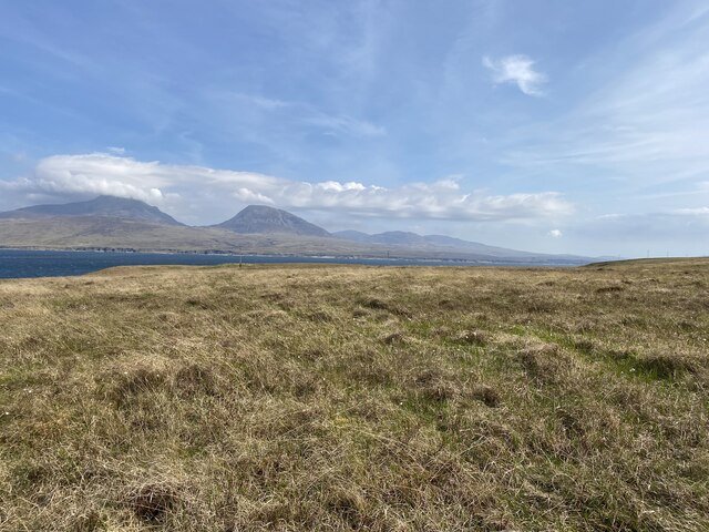
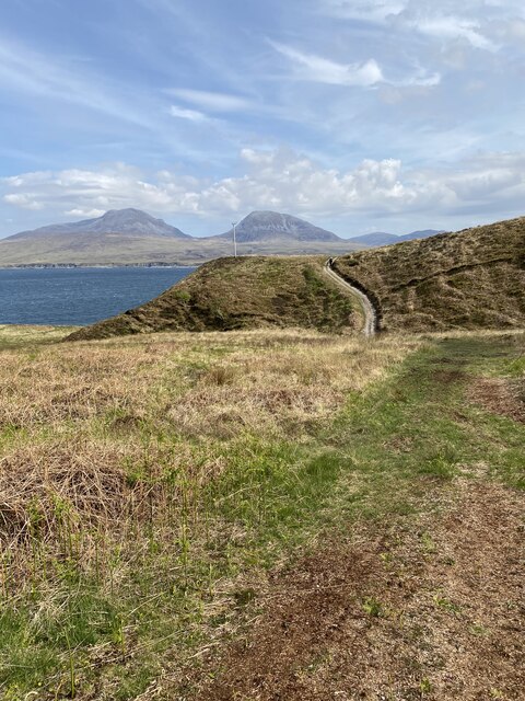
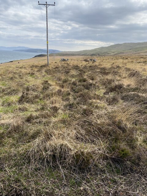
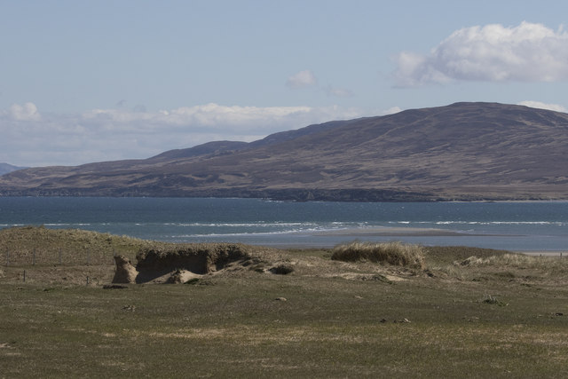
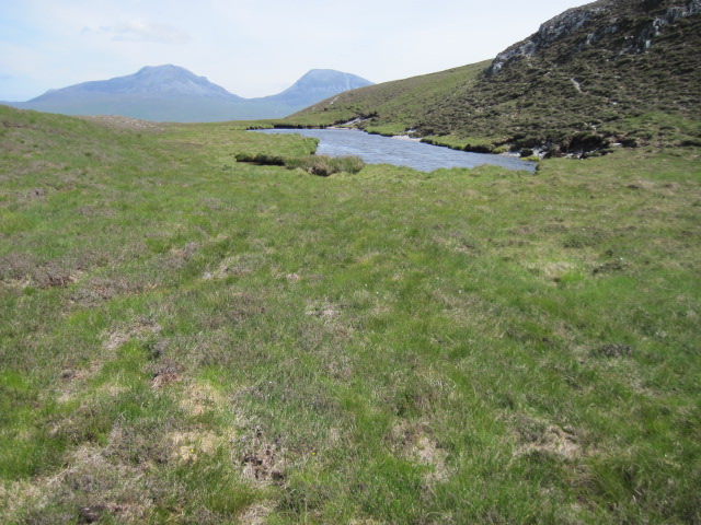
Situated on the western coast of Scotland, A' Bhriogais offers stunning panoramic views of the surrounding landscape. The headland stretches out into the Atlantic Ocean, with steep cliffs dropping into the crashing waves below. The combination of jagged rocks, sheer drop-offs, and the relentless power of the ocean creates a captivating spectacle for onlookers.
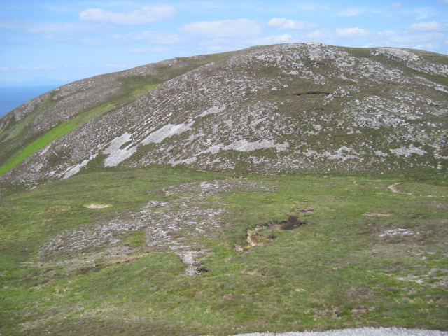
The geology of A' Bhriogais is rich, with layers of sedimentary rock jutting out at various angles, displaying millions of years of geological history. The headland also features several unique rock formations, including natural arches and sea stacks, further enhancing its allure.
The area surrounding A' Bhriogais is home to a diverse range of flora and fauna. Seabirds such as gannets, puffins, and razorbills can often be spotted nesting on the cliffs, while seals and dolphins can occasionally be seen swimming in the waters below.
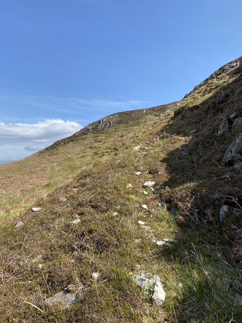
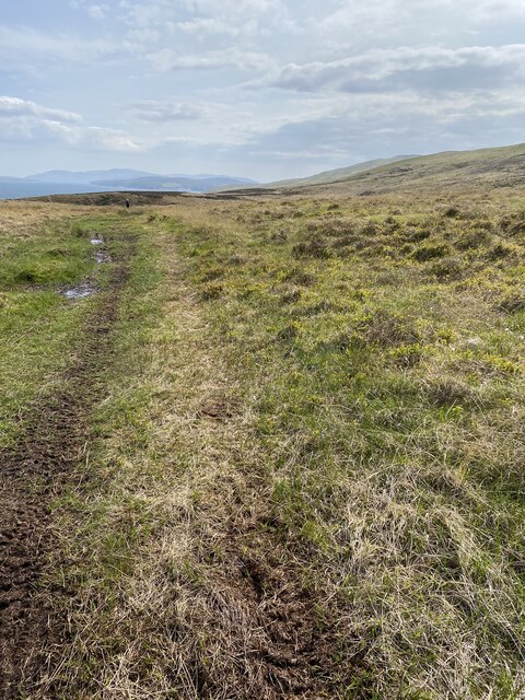
Access to A' Bhriogais is possible through various walking trails and paths that wind their way along the coastline, providing visitors with opportunities to explore the headland and take in its awe-inspiring vistas. It is advised to exercise caution while navigating the area, as the cliffs can be treacherous and slippery.
A' Bhriogais is not only a natural wonder but also an important cultural site, as it is steeped in local folklore and legends. Its majestic presence and untamed beauty make it a truly remarkable coastal feature in Argyllshire.
If you have any feedback on the listing, please let us know in the comments section below.
A' Bhriogais Images
Images are sourced within 2km of 55.937055/-6.1355037 or Grid Reference NR4179. Thanks to Geograph Open Source API. All images are credited.
A' Bhriogais is located at Grid Ref: NR4179 (Lat: 55.937055, Lng: -6.1355037)
Unitary Authority: Argyll and Bute
Police Authority: Argyll and West Dunbartonshire
What 3 Words
///crossing.twinkled.polices. Near Port Askaig, Argyll & Bute
Nearby Locations
Related Wikis
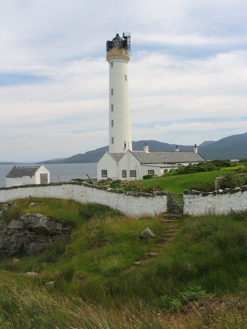
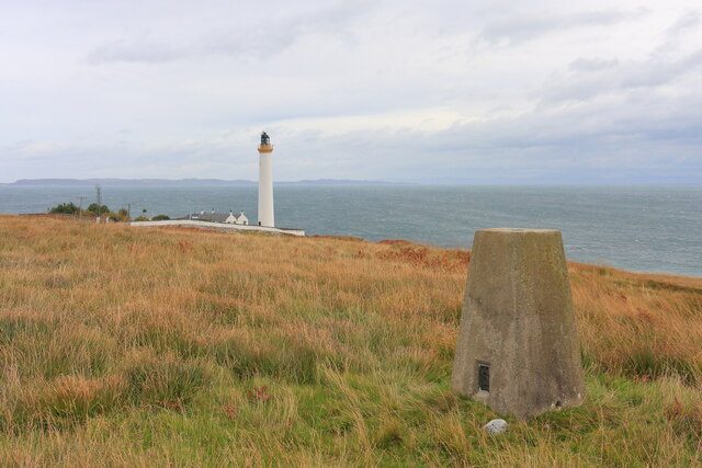
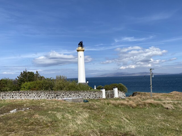
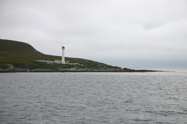
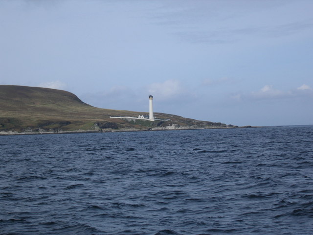
Ruvaal Lighthouse
The Ruvaal, Rhuvaal, or Rubh'a' Mhàil Lighthouse is a listed 19th-century lighthouse located at the north-eastern end of the island of Islay, in the Inner...

Bunnahabhain
Bunnahabhain ( BOO-nə-HAV-in; from Scottish Gaelic Bun na h-Abhainne ([punəˈhavɪɲə], English: ), meaning 'foot of the river') is a village on the northeast...

Bunnahabhain distillery
Bunnahabhain distillery (Scottish Gaelic: Taigh-staile Bun na h-Abhainne, [t̪əˈs̪t̪alə punəˈhavɪɲ]) was founded in 1881 near Port Askaig on Islay. The...

Ardnahoe distillery
Ardnahoe distillery is a Scotch whisky distillery on Islay, in Scotland. == Location == The distillery is on the north east coast of Islay, located just...
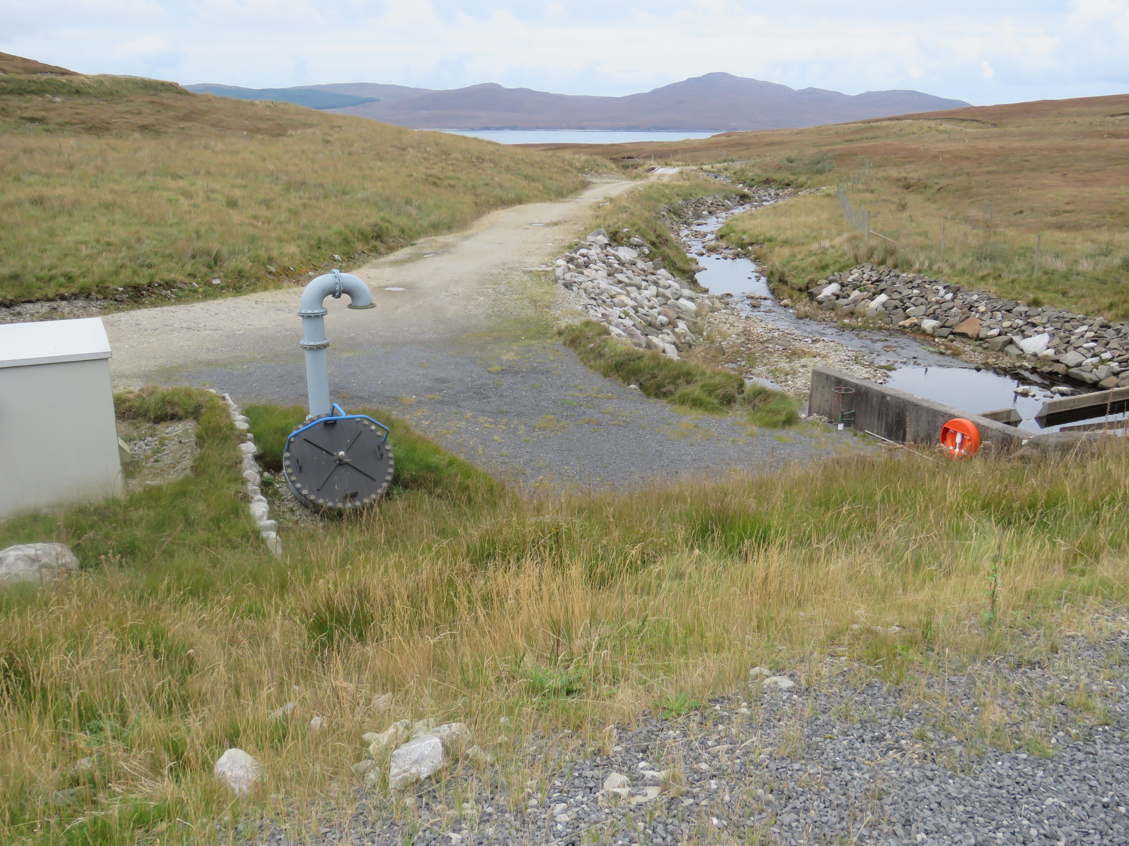
Inver Hydro-Electric Scheme
Inver Hydro-Electric Scheme is a remote hydro-electric plant on the Scottish island of Jura, part of the Inner Hebrides. Construction began in 2011, and...

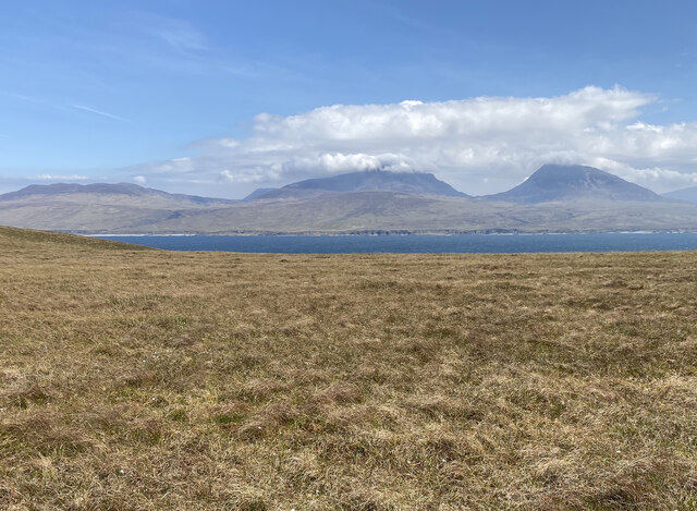
Beinn an Òir
Beinn an Òir (Gaelic for "mountain of gold") is the highest peak of the Paps of Jura on the island of Jura, Scotland. It is the highest peak on the island...

Beinn a' Chaolais
Beinn a' Chaolais (Gaelic: mountain of the sound or strait) is the lowest peak of the Paps of Jura on the island of Jura, Scotland.It stands at 733 metres...

Paps of Jura
The Paps of Jura (Scottish Gaelic: Sgurr na Cìche) are three mountains on the western side of the island of Jura, in the Inner Hebrides of Scotland. Their...
Nearby Amenities
Located within 500m of 55.937055,-6.1355037Have you been to A' Bhriogais?
Leave your review of A' Bhriogais below (or comments, questions and feedback).