Bàgh an Dà Dhoruis
Bay in Argyllshire
Scotland
Bàgh an Dà Dhoruis
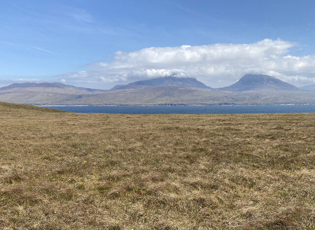
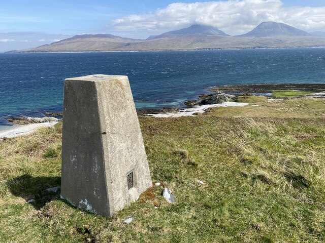
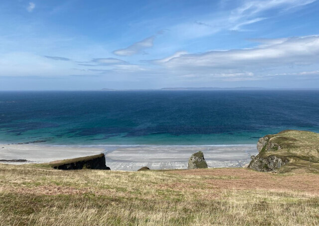
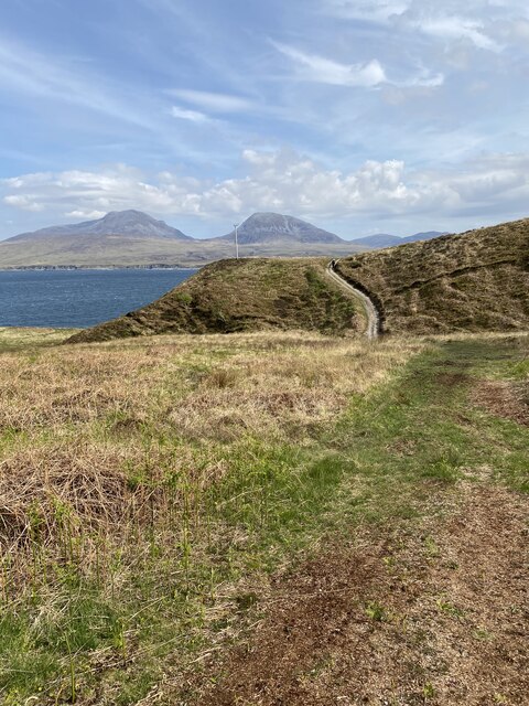
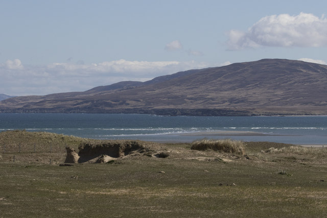
Bàgh an Dà Dhoruis, also known as Bay of Two Doors, is a picturesque coastal area located in Argyllshire, Scotland. Situated on the western coast of the country, this bay offers breathtaking views of the surrounding landscape and is a popular destination for nature enthusiasts and adventure seekers.
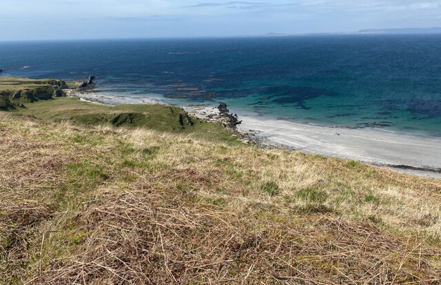
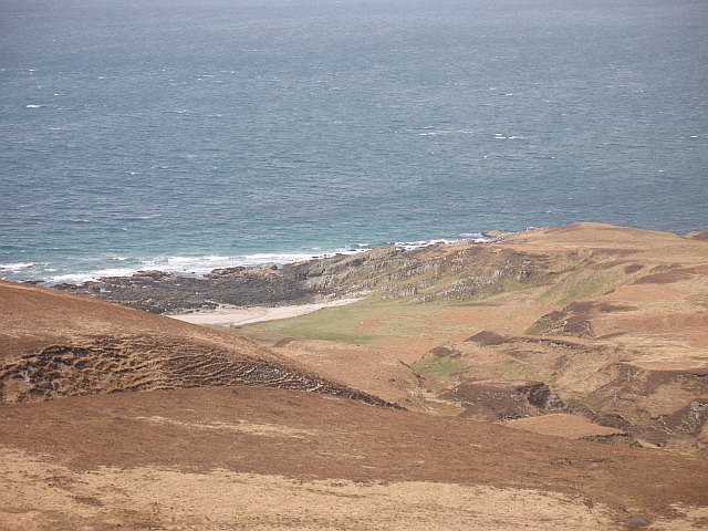
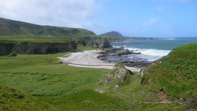
The bay gets its name from two natural rock formations resembling doorways that are visible at low tide. These formations add a unique charm to the area and have become a notable landmark for visitors.
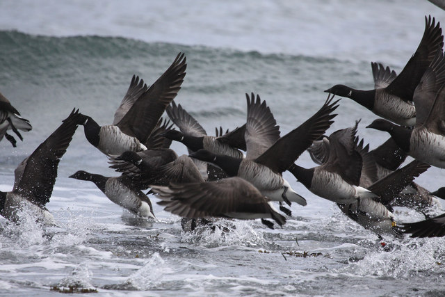
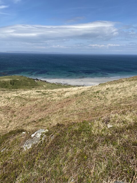
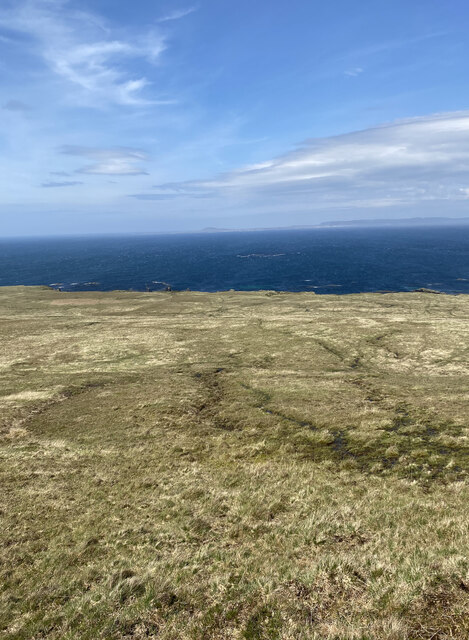
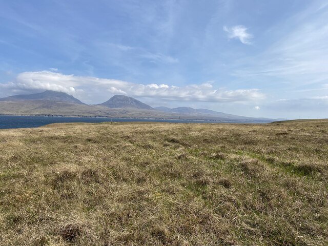
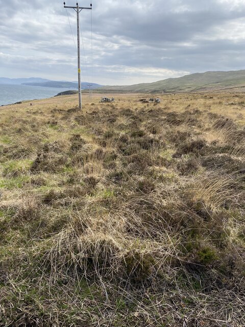
The bay is characterized by its pristine sandy beaches, clear turquoise waters, and rugged cliffs. It is a haven for wildlife, providing a habitat for various bird species and marine life. Seals can often be seen lounging on the rocks or swimming in the bay, adding to the area's natural beauty.
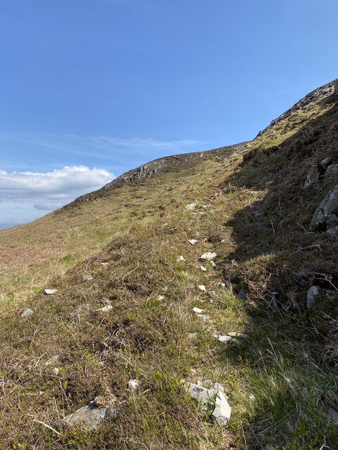
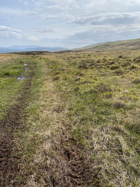
For those seeking outdoor activities, Bàgh an Dà Dhoruis offers opportunities for hiking, fishing, and boating. The bay is surrounded by rolling hills and stunning coastal trails, providing ample chances for exploration and adventure.
In addition to its natural attractions, the area also boasts a rich history. Nearby, there are ruins of ancient settlements and historic landmarks that offer insights into the region's past.
Overall, Bàgh an Dà Dhoruis is a captivating destination that showcases the beauty of Scotland's western coast. Its stunning scenery, diverse wildlife, and recreational opportunities make it an ideal place for nature lovers and those seeking a tranquil escape.
If you have any feedback on the listing, please let us know in the comments section below.
Bàgh an Dà Dhoruis Images
Images are sourced within 2km of 55.934788/-6.1437856 or Grid Reference NR4179. Thanks to Geograph Open Source API. All images are credited.

Bàgh an Dà Dhoruis is located at Grid Ref: NR4179 (Lat: 55.934788, Lng: -6.1437856)
Unitary Authority: Argyll and Bute
Police Authority: Argyll and West Dunbartonshire
What 3 Words
///daredevil.jumpy.sake. Near Port Askaig, Argyll & Bute
Nearby Locations
Related Wikis
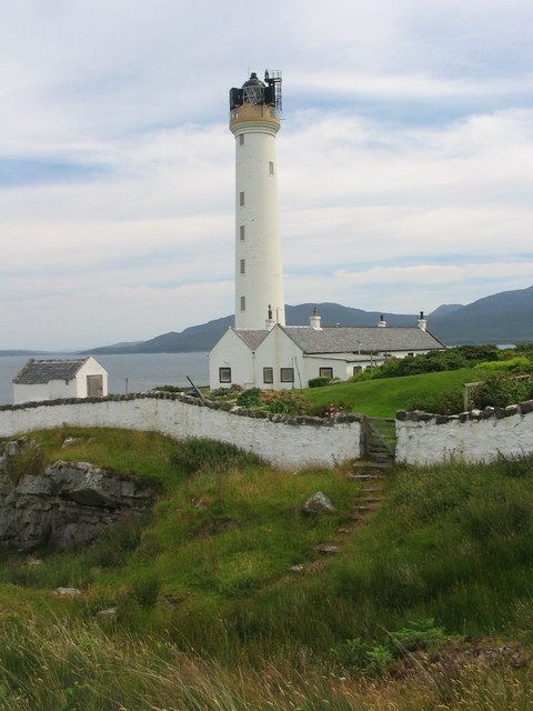
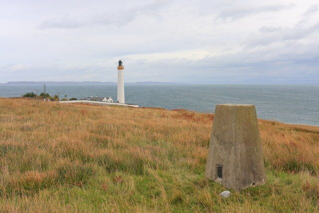
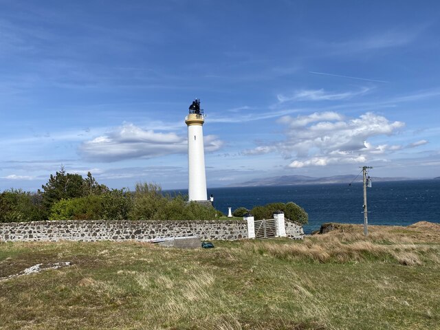
Ruvaal Lighthouse
The Ruvaal, Rhuvaal, or Rubh'a' Mhàil Lighthouse is a listed 19th-century lighthouse located at the north-eastern end of the island of Islay, in the Inner...

Bunnahabhain
Bunnahabhain ( BOO-nə-HAV-in; from Scottish Gaelic Bun na h-Abhainne ([punəˈhavɪɲə], English: ), meaning 'foot of the river') is a village on the northeast...

Bunnahabhain distillery
Bunnahabhain distillery (Scottish Gaelic: Taigh-staile Bun na h-Abhainne, [t̪əˈs̪t̪alə punəˈhavɪɲ]) was founded in 1881 near Port Askaig on Islay. The...

Ardnahoe distillery
Ardnahoe distillery is a Scotch whisky distillery on Islay, in Scotland. == Location == The distillery is on the north east coast of Islay, located just...
Nearby Amenities
Located within 500m of 55.934788,-6.1437856Have you been to Bàgh an Dà Dhoruis?
Leave your review of Bàgh an Dà Dhoruis below (or comments, questions and feedback).