Geodha Thannaraidh
Coastal Feature, Headland, Point in Ross-shire
Scotland
Geodha Thannaraidh
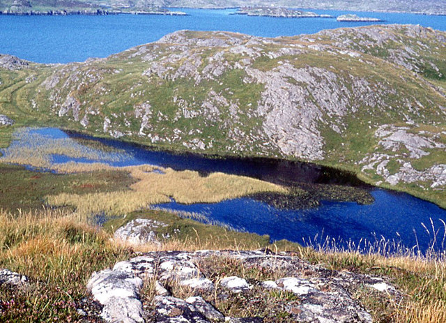
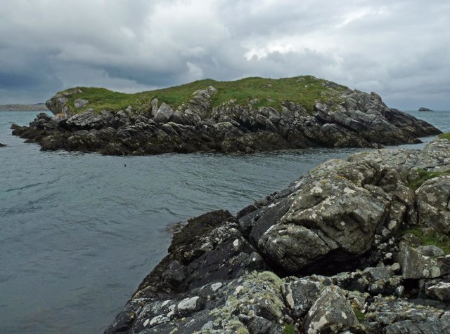
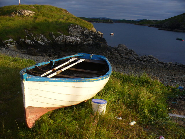
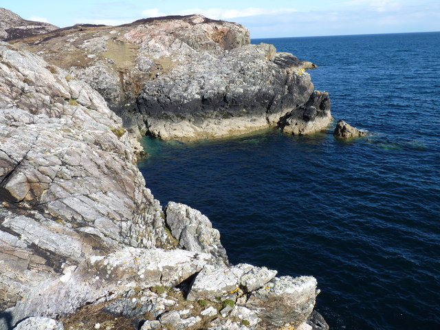
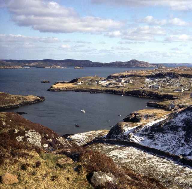
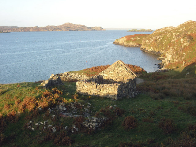
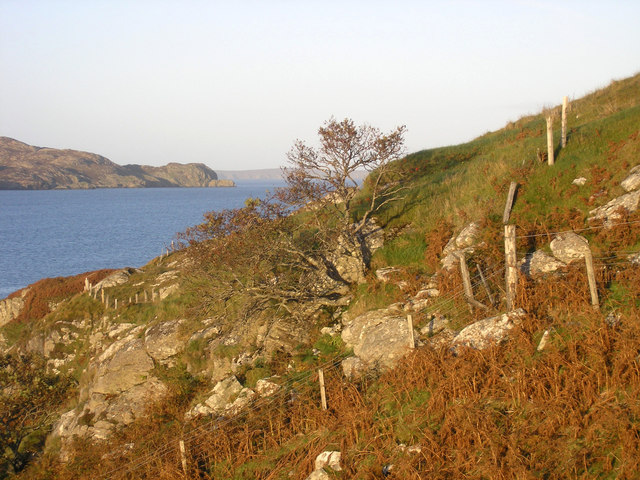
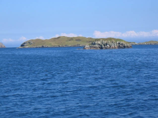
Geodha Thannaraidh is a captivating coastal feature located in Ross-shire, Scotland. It is an enchanting headland that juts out into the North Atlantic Ocean, offering breathtaking views and a rugged landscape that is characteristic of the Scottish Highlands.
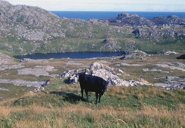
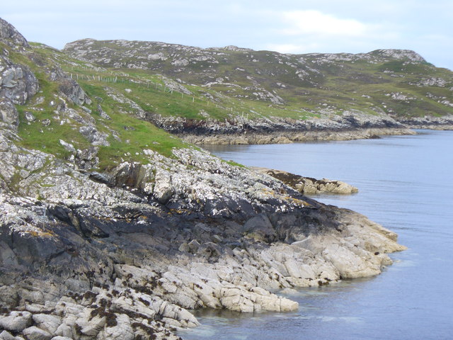
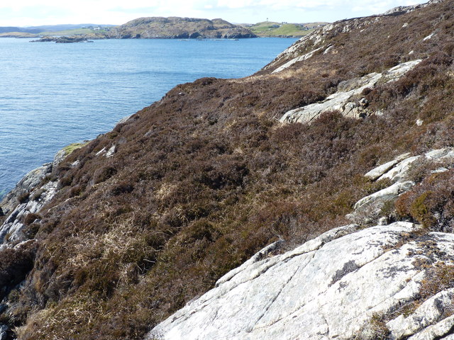
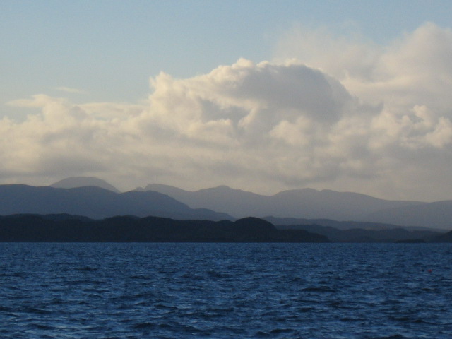
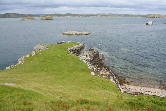
This prominent headland is a popular destination for nature enthusiasts and hikers due to its stunning natural beauty. Geodha Thannaraidh is known for its towering cliffs, which provide a dramatic backdrop against the crashing waves of the ocean below. The cliffs are composed of ancient rocks, showcasing the geological history of the area.
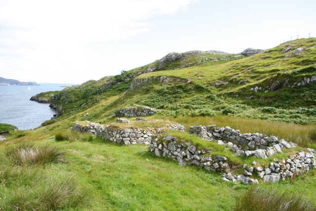
The headland is also home to a diverse range of flora and fauna. The rugged terrain supports a variety of plant species, including hardy grasses and wildflowers that bloom during the summer months. Seabirds such as gulls, fulmars, and puffins can be spotted nesting on the cliffs, adding to the area's charm and ecological significance.
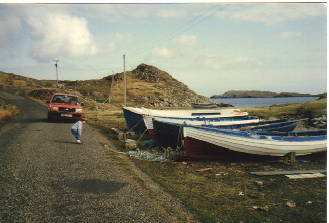
Visitors to Geodha Thannaraidh can enjoy scenic walks along the headland, taking in the panoramic views of the ocean and surrounding landscape. The headland is easily accessible and offers ample opportunities for photography and birdwatching. The nearby coastal paths provide additional exploration options, allowing visitors to discover hidden coves and beaches along the way.
Geodha Thannaraidh is a must-visit destination for those seeking natural beauty and tranquility. Its rugged cliffs, diverse wildlife, and stunning views make it a true gem of the Scottish coastline.
If you have any feedback on the listing, please let us know in the comments section below.
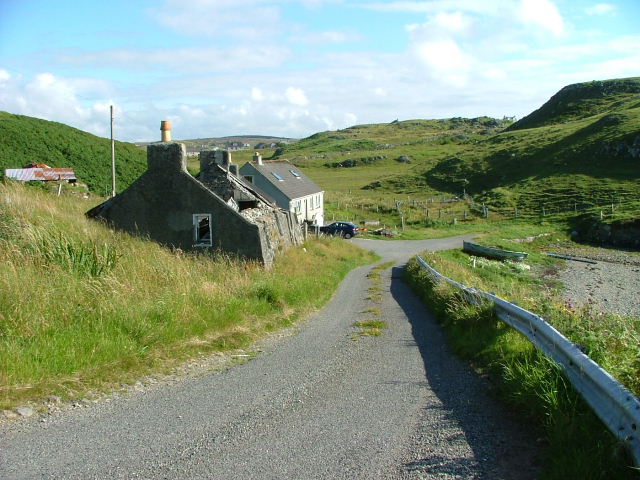
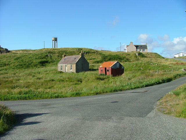
Geodha Thannaraidh Images
Images are sourced within 2km of 58.122197/-6.4125529 or Grid Reference NB4023. Thanks to Geograph Open Source API. All images are credited.
Geodha Thannaraidh is located at Grid Ref: NB4023 (Lat: 58.122197, Lng: -6.4125529)
Unitary Authority: Na h-Eileanan an Iar
Police Authority: Highlands and Islands
What 3 Words
///autumn.prop.rehearsed. Near Leurbost, Na h-Eileanan Siar
Related Wikis

Crossbost
Crossbost is a village on the Isle of Lewis in the parish of North Lochs, in the Outer Hebrides, Scotland. It is located approximately ten miles away...

Cromore
Cromore (Scottish Gaelic: Crò Mòr) is a crofting township on the Isle of Lewis in the district of Pairc, in the Outer Hebrides, Scotland. The settlement...
Eilean Chaluim Chille
Eilean Chaluim Chille (Gaelic: island of Saint Columba, Calum Cille) is an unpopulated island in the Outer Hebrides. It lies off the east coast of Lewis...
North Lochs
North Lochs, (Scottish Gaelic: Ceann a Tuath nan Loch), an area in eastern Lewis, Outer Hebrides, Scotland, is named for the many lochans (small lochs...
Have you been to Geodha Thannaraidh?
Leave your review of Geodha Thannaraidh below (or comments, questions and feedback).