Bogha Dhomhnuill Mhic Chaluim
Coastal Feature, Headland, Point in Argyllshire
Scotland
Bogha Dhomhnuill Mhic Chaluim
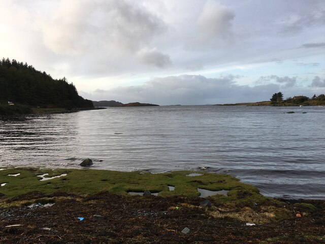
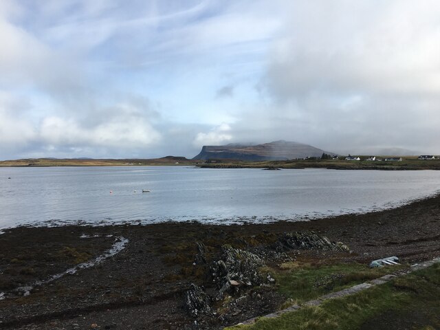
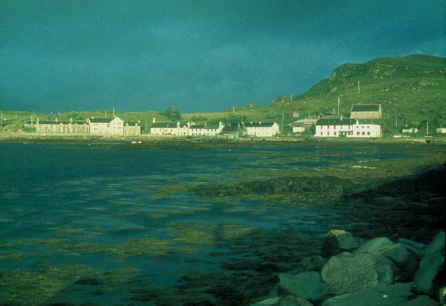
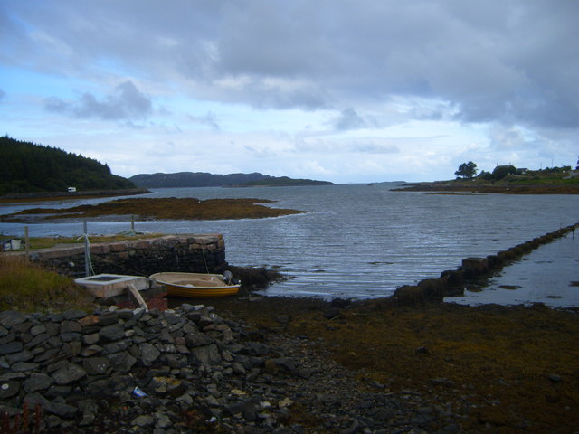
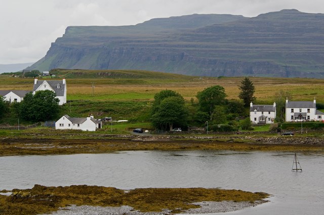
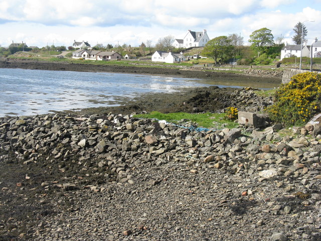
Bogha Dhomhnuill Mhic Chaluim is a prominent headland located in Argyllshire, Scotland. Situated on the west coast of the country, this coastal feature juts out into the North Atlantic Ocean, offering breathtaking views of the surrounding landscape.
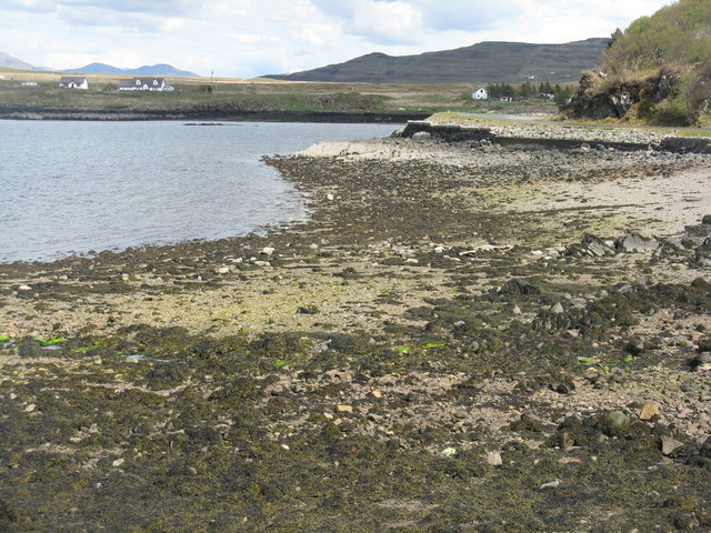
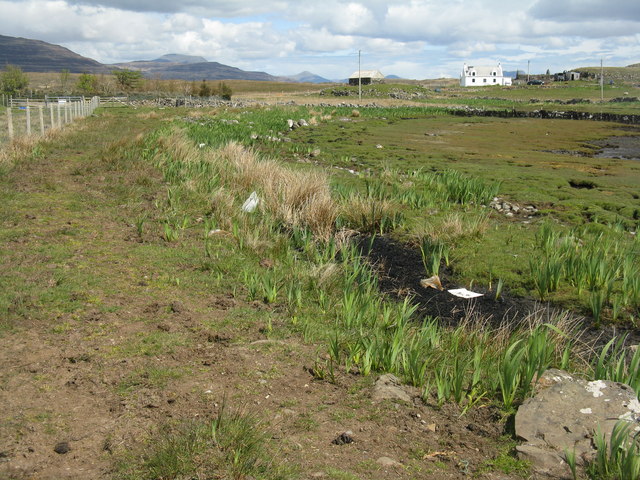
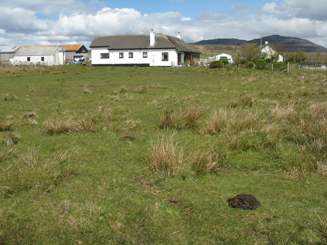
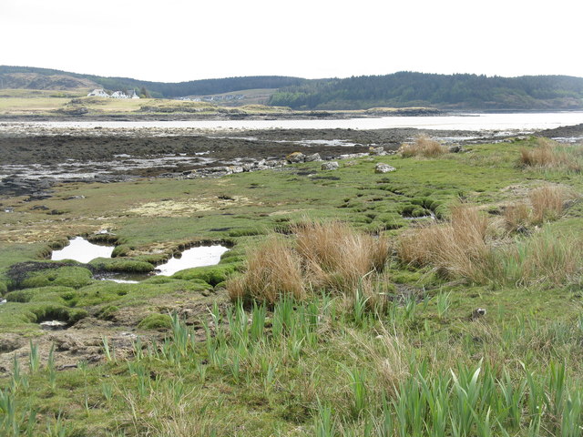
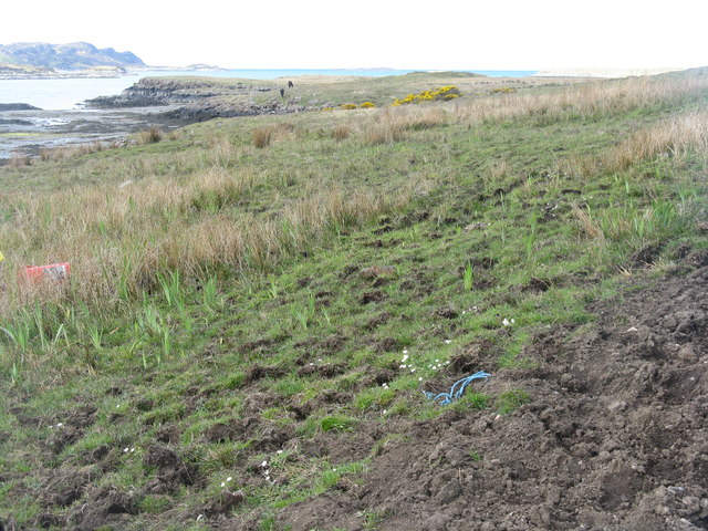
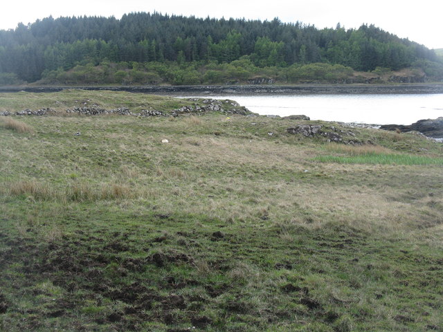
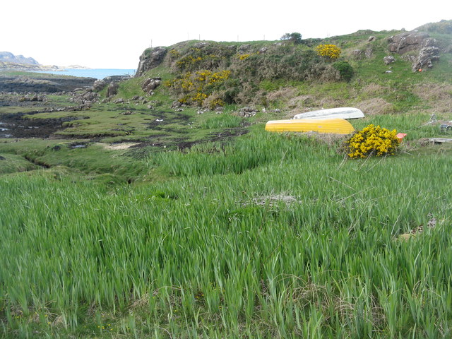
The headland is known for its rugged beauty, characterized by steep cliffs and rocky outcrops. It is a popular destination for tourists and nature enthusiasts, who are drawn to its dramatic scenery and diverse wildlife. The area is home to a variety of seabirds, including puffins, gannets, and kittiwakes, making it a haven for birdwatching.
The name Bogha Dhomhnuill Mhic Chaluim is derived from Scottish Gaelic and translates to "Donald, son of Malcolm's bow." The origin of the name is believed to be connected to local folklore or historical events, but the exact story behind it remains uncertain.
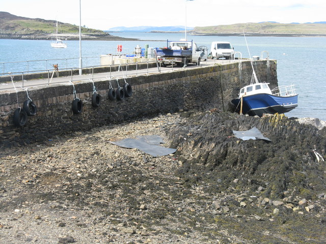
Visitors to Bogha Dhomhnuill Mhic Chaluim can explore the headland by following the well-marked coastal paths, which offer breathtaking views of the surrounding coastline and the nearby islands. The headland also features a small sandy beach, which is a popular spot for picnics and sunbathing during the warmer months.
In addition to its natural beauty, Bogha Dhomhnuill Mhic Chaluim holds historical significance. It is believed that the headland was once used as a lookout point during times of conflict, allowing its inhabitants to spot potential threats approaching from the sea.
Overall, Bogha Dhomhnuill Mhic Chaluim is a captivating coastal feature that combines stunning natural landscapes with a rich history, making it a must-visit destination for anyone exploring the beautiful region of Argyllshire.
If you have any feedback on the listing, please let us know in the comments section below.
Bogha Dhomhnuill Mhic Chaluim Images
Images are sourced within 2km of 56.333605/-6.247868 or Grid Reference NM3723. Thanks to Geograph Open Source API. All images are credited.


Bogha Dhomhnuill Mhic Chaluim is located at Grid Ref: NM3723 (Lat: 56.333605, Lng: -6.247868)
Unitary Authority: Argyll and Bute
Police Authority: Argyll and West Dunbartonshire
What 3 Words
///edicts.erupt.acclaimed. Near Fionnphort, Argyll & Bute
Related Wikis

Suidhe
Suidhe (Scottish Gaelic: Suidhe) is a ruined township located on the southwestern peninsula of the Isle of Mull, Scotland. It lies just over 1 km to the...

Ardtun
Ardtun (Scottish Gaelic: Àird Tunna) is a settlement on the Isle of Mull, in Argyll and Bute, Scotland. Ardtun is within the parish of Kilfinichen and...

Bunessan
Bunessan (Scottish Gaelic: Bun Easain) is a small village on the Ross of Mull in the south-west of the Isle of Mull, off the west coast of Scotland. The...
Camas Tuath
Camas Tuath (Scottish Gaelic: north bay) is an inlet bay on the Ross of Mull. The bay has two small tidal islands and two Quarrymans' Cottages which the...

Knockan
Knockan (Scottish Gaelic: An Cnocan) is a township of six crofts in the community of Ardtun, in the south of the Isle of Mull off the west coast of Scotland...

Ross of Mull
The Ross of Mull (Scottish Gaelic: An Ros Mhuileach) is the largest peninsula of the Isle of Mull, about 28 kilometres (17 mi) long, and makes up the south...

Knocknafenaig
Knocknafenaig (Scottish Gaelic: Cnoc na Fennaig) is a ruined township on the Isle of Mull, Scotland. Located in the south-western portion of the island...

Ardalanish
Ardalanish (Scottish Gaelic: Àird Dealanais) is a village on the Isle of Mull in Argyll and Bute, Scotland. It is now an organic farm and weaving mill...
Nearby Amenities
Located within 500m of 56.333605,-6.247868Have you been to Bogha Dhomhnuill Mhic Chaluim?
Leave your review of Bogha Dhomhnuill Mhic Chaluim below (or comments, questions and feedback).