Am Biod
Coastal Feature, Headland, Point in Argyllshire
Scotland
Am Biod
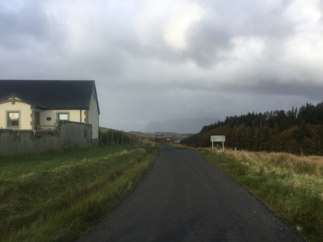
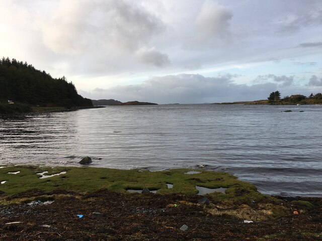
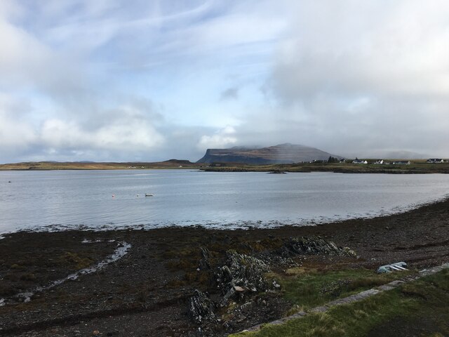
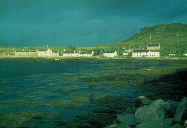
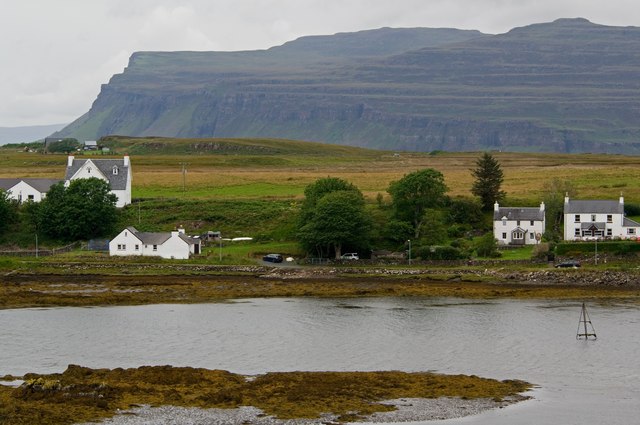
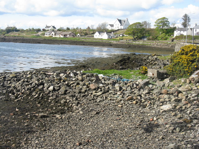
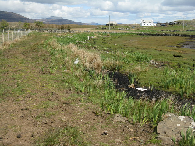
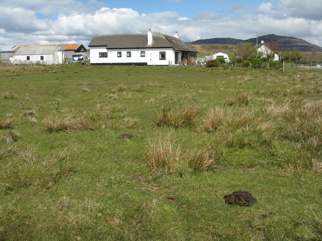
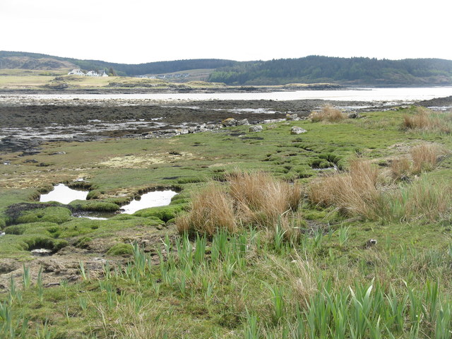
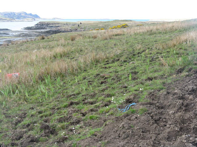
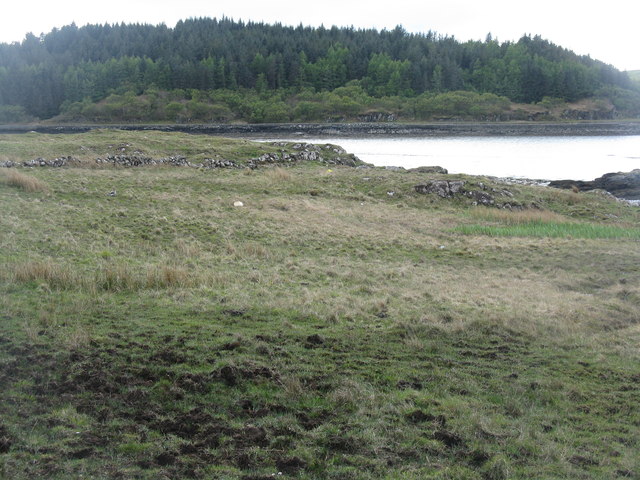
Am Biod is a prominent coastal feature located in Argyllshire, Scotland. It is a headland that extends out into the sea, forming a distinct point along the rugged coastline. The name "Am Biod" is derived from the Gaelic language and translates to "the point" in English.
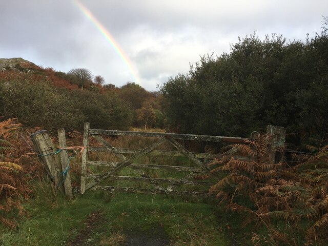
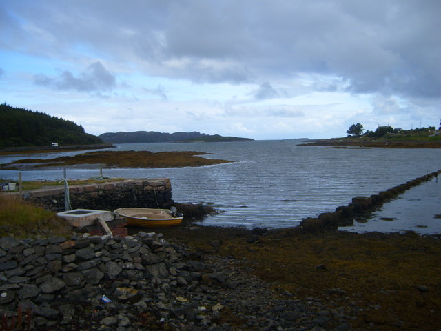
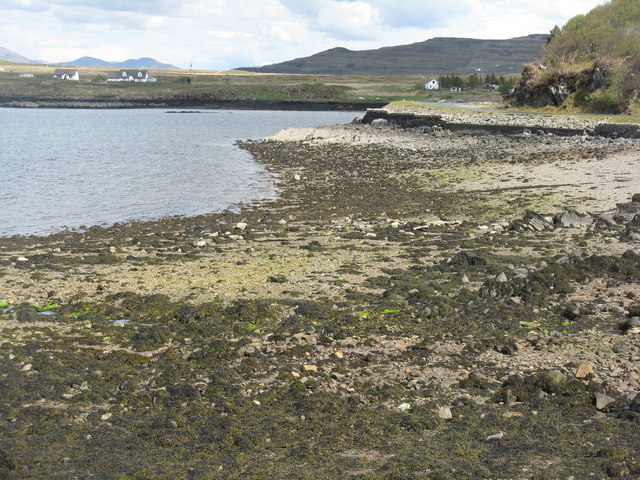
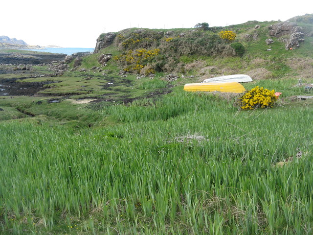
This headland offers breathtaking views of the surrounding landscape and the vast expanse of the ocean. The rocky cliffs that line the coast provide a dramatic backdrop to the crashing waves below. The area is known for its unique geological formations, with layers of sedimentary rock visible along the cliffs.
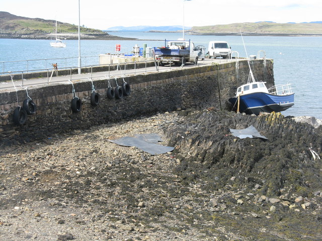
Am Biod is a popular destination for outdoor enthusiasts and nature lovers. The headland is a haven for birdwatching, as it serves as a nesting site for various seabirds, including gannets and puffins. During certain seasons, visitors may witness flocks of these magnificent creatures soaring through the air or perched on the cliffs.
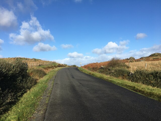
The rugged terrain of Am Biod also offers opportunities for hiking and exploring. There are several walking trails that meander along the headland, allowing visitors to immerse themselves in the stunning natural beauty of the area. It is advised to wear appropriate footwear and exercise caution while navigating the sometimes uneven paths.
Overall, Am Biod in Argyllshire is a remarkable coastal feature that showcases the raw beauty of Scotland's coastline. Its picturesque views, diverse wildlife, and recreational opportunities make it a must-visit destination for those seeking a memorable outdoor experience.
If you have any feedback on the listing, please let us know in the comments section below.
Am Biod Images
Images are sourced within 2km of 56.326663/-6.2405074 or Grid Reference NM3723. Thanks to Geograph Open Source API. All images are credited.
Am Biod is located at Grid Ref: NM3723 (Lat: 56.326663, Lng: -6.2405074)
Unitary Authority: Argyll and Bute
Police Authority: Argyll and West Dunbartonshire
What 3 Words
///ridiculed.coats.bottom. Near Fionnphort, Argyll & Bute
Related Wikis

Bunessan
Bunessan (Scottish Gaelic: Bun Easain) is a small village on the Ross of Mull in the south-west of the Isle of Mull, off the west coast of Scotland. The...

Suidhe
Suidhe (Scottish Gaelic: Suidhe) is a ruined township located on the southwestern peninsula of the Isle of Mull, Scotland. It lies just over 1 km to the...

Ardtun
Ardtun (Scottish Gaelic: Àird Tunna) is a settlement on the Isle of Mull, in Argyll and Bute, Scotland. Ardtun is within the parish of Kilfinichen and...

Knockan
Knockan (Scottish Gaelic: An Cnocan) is a township of six crofts in the community of Ardtun, in the south of the Isle of Mull off the west coast of Scotland...
Camas Tuath
Camas Tuath (Scottish Gaelic: north bay) is an inlet bay on the Ross of Mull. The bay has two small tidal islands and two Quarrymans' Cottages which the...

Knocknafenaig
Knocknafenaig (Scottish Gaelic: Cnoc na Fennaig) is a ruined township on the Isle of Mull, Scotland. Located in the south-western portion of the island...

Ross of Mull
The Ross of Mull (Scottish Gaelic: An Ros Mhuileach) is the largest peninsula of the Isle of Mull, about 28 kilometres (17 mi) long, and makes up the south...

Ardalanish
Ardalanish (Scottish Gaelic: Àird Dealanais) is a village on the Isle of Mull in Argyll and Bute, Scotland. It is now an organic farm and weaving mill...
Nearby Amenities
Located within 500m of 56.326663,-6.2405074Have you been to Am Biod?
Leave your review of Am Biod below (or comments, questions and feedback).