Aonan na Mala
Coastal Feature, Headland, Point in Argyllshire
Scotland
Aonan na Mala
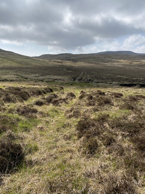
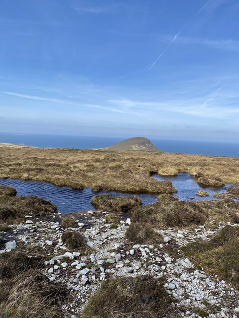
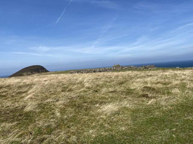
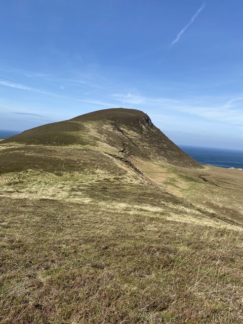
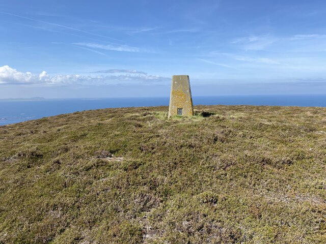
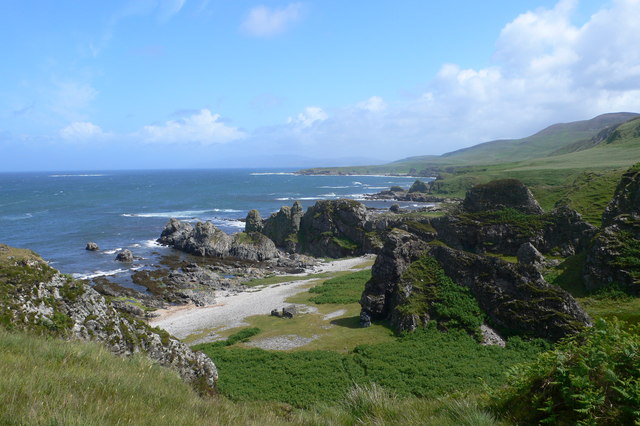
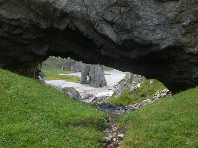
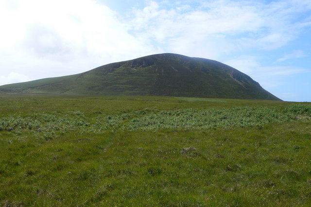
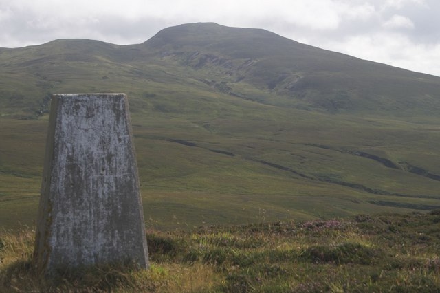
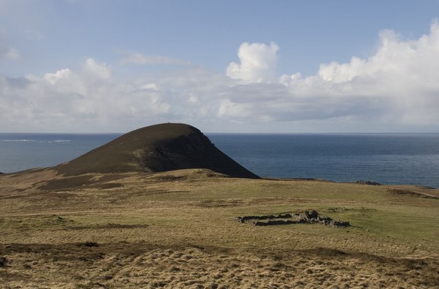
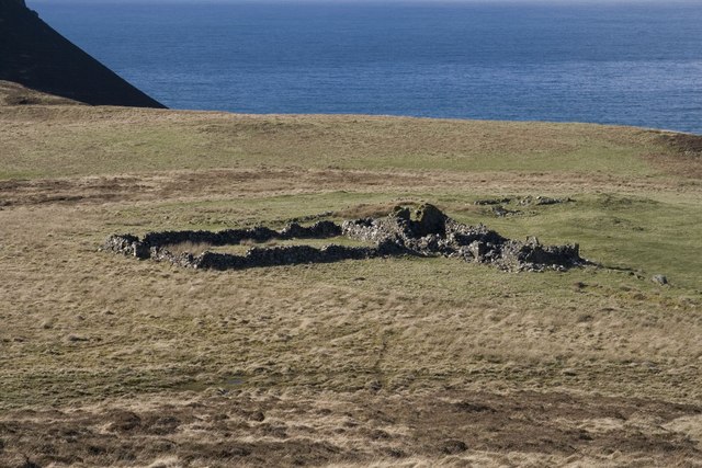
Aonan na Mala is a prominent coastal feature located in Argyllshire, Scotland. It is a headland that juts out into the Atlantic Ocean, forming a distinctive point along the rugged coastline. The name Aonan na Mala is derived from Gaelic, with "Aonan" meaning "one" and "Mala" referring to a shingle beach.
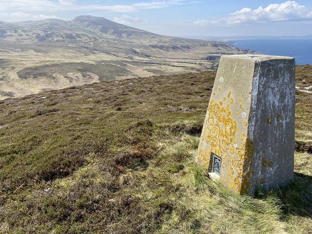
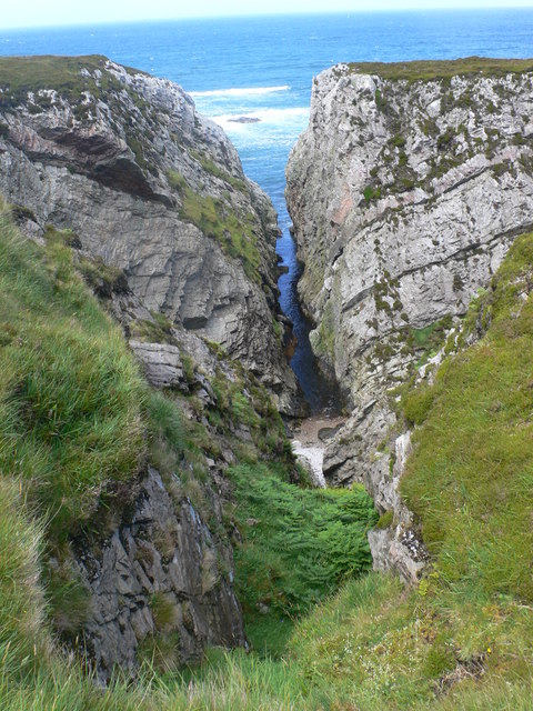
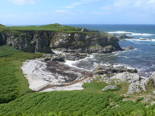
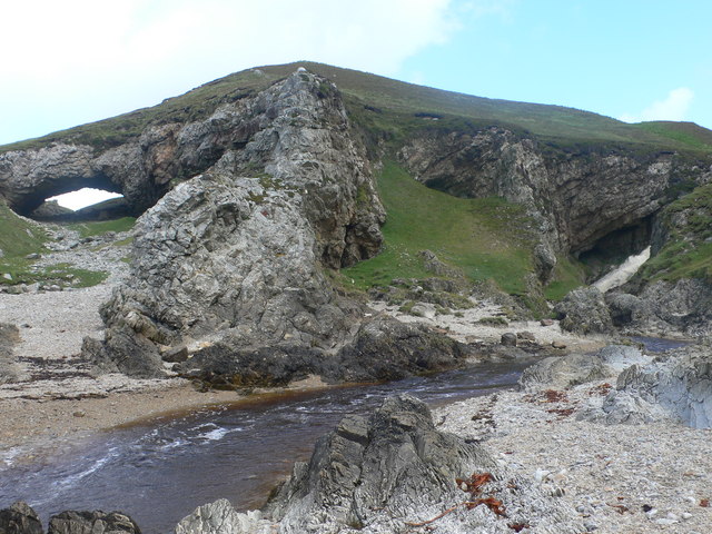
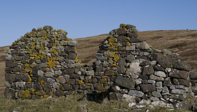
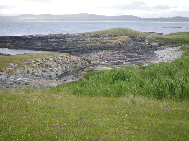
This headland is characterized by its steep cliffs, which rise majestically from the ocean, offering breathtaking views of the surrounding landscape. The cliffs are composed of sedimentary rock formations, displaying layers of ancient geological history. The rugged nature of Aonan na Mala is further accentuated by the presence of scattered boulders and rock outcrops along its shores.
The headland serves as a vital habitat for numerous species of seabirds, such as gulls, puffins, and fulmars. These birds nest on the cliffs, taking advantage of the inaccessible ledges for protection from predators. The surrounding waters are also rich in marine life, attracting seals and occasionally dolphins that can be spotted frolicking in the waves.
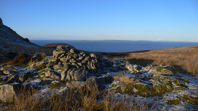
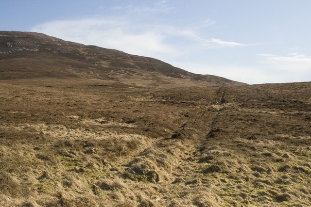
Aonan na Mala is a popular destination for nature enthusiasts and hikers, offering several scenic walking trails along its coastline. These trails provide an opportunity to explore the diverse flora and fauna of the area, with wildflowers and grasses dotting the landscape. The headland's location also provides a vantage point for witnessing dramatic sunsets over the Atlantic, creating a truly magical experience for visitors.
Overall, Aonan na Mala stands as a remarkable coastal feature, showcasing the raw beauty and ecological diversity of Argyllshire's coastline.
If you have any feedback on the listing, please let us know in the comments section below.
Aonan na Mala Images
Images are sourced within 2km of 55.91958/-6.2023645 or Grid Reference NR3777. Thanks to Geograph Open Source API. All images are credited.
Aonan na Mala is located at Grid Ref: NR3777 (Lat: 55.91958, Lng: -6.2023645)
Unitary Authority: Argyll and Bute
Police Authority: Argyll and West Dunbartonshire
What 3 Words
///manifests.guilty.feast. Near Port Askaig, Argyll & Bute
Nearby Locations
Related Wikis
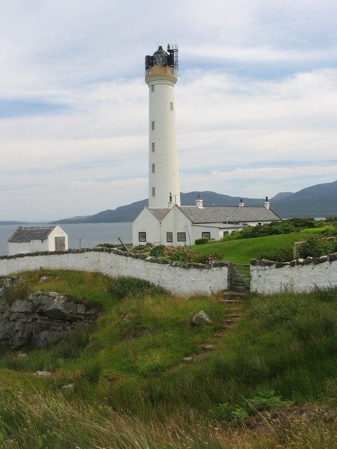
Ruvaal Lighthouse
The Ruvaal, Rhuvaal, or Rubh'a' Mhàil Lighthouse is a listed 19th-century lighthouse located at the north-eastern end of the island of Islay, in the Inner...

Bunnahabhain
Bunnahabhain ( BOO-nə-HAV-in; from Scottish Gaelic Bun na h-Abhainne ([punəˈhavɪɲə], English: ), meaning 'foot of the river') is a village on the northeast...

Bunnahabhain distillery
Bunnahabhain distillery (Scottish Gaelic: Taigh-staile Bun na h-Abhainne, [t̪əˈs̪t̪alə punəˈhavɪɲ]) was founded in 1881 near Port Askaig on Islay. The...

Ardnahoe distillery
Ardnahoe distillery is a Scotch whisky distillery on Islay, in Scotland. == Location == The distillery is on the north east coast of Islay, located just...

Nave Island
Nave Island lies to the north of Islay in the Inner Hebrides near the mouth of Loch Gruinart. It is uninhabited. == Geography == The island is all but...
Ardnave Point
Ardnave Point (Scottish Gaelic, Àird an Naoimh) is a coastal promontory on the northwest of Islay, a Scottish island. This landform has a rocky northern...
Inver Hydro-Electric Scheme
Inver Hydro-Electric Scheme is a remote hydro-electric plant on the Scottish island of Jura, part of the Inner Hebrides. Construction began in 2011, and...

Loch Gruinart
Loch Gruinart (Scottish Gaelic: Loch Gruinneard from the Old Norse, meaning "shallow fjord") is a sea loch on the northern coast of isle of Islay in Scotland...
Nearby Amenities
Located within 500m of 55.91958,-6.2023645Have you been to Aonan na Mala?
Leave your review of Aonan na Mala below (or comments, questions and feedback).