Carn Olva

Coastal Feature, Headland, Point in Cornwall

England

Carn Olva

Looking down to Sennen Cove from the coast path on the dunes
Looking down to Sennen Cove from the coast path on the dunes Credit: Rod Allday

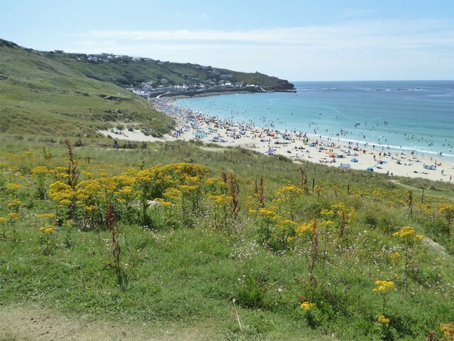
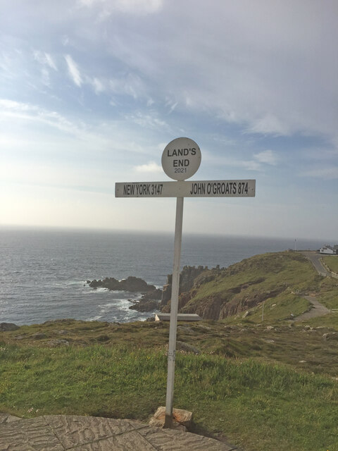
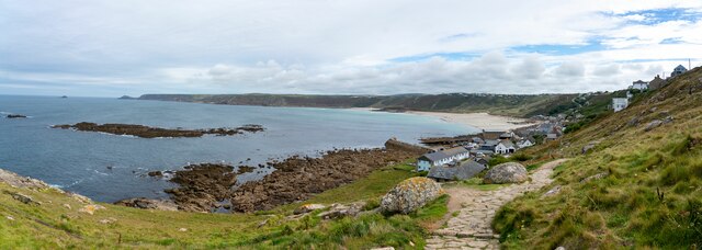
Carn Olva is a prominent headland located on the southwest coast of Cornwall, England. It forms part of the stunning Penwith Peninsula, which is renowned for its rugged beauty and picturesque coastal scenery. Situated near the town of St. Ives, Carn Olva offers breathtaking panoramic views of the Atlantic Ocean and the surrounding landscape.

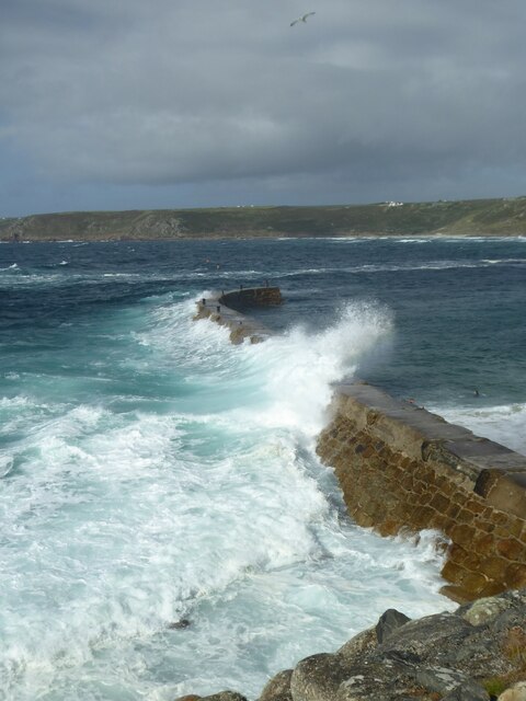
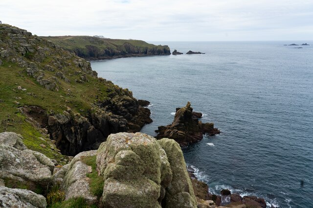
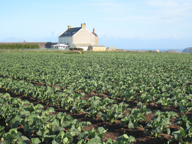
Standing at an elevation of approximately 74 meters (243 feet), Carn Olva is characterized by its dramatic cliffs, jutting out into the sea. The headland is composed primarily of granite, a common feature of the Cornish coastline. The rugged terrain is adorned with heathland and grasses, providing a habitat for various plant species and wildlife.

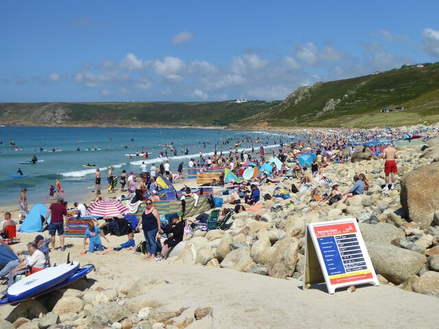
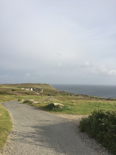
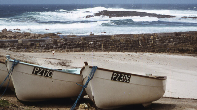
The area around Carn Olva is a popular destination for hikers and nature enthusiasts, who are drawn to the picturesque coastal walks and the opportunity to witness the diverse marine life. Visitors can often spot seabirds such as gannets, cormorants, and gulls soaring above the cliffs, while seals and dolphins can occasionally be spotted in the waters below.

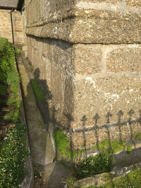
Carn Olva also holds historical significance, as it is home to the remains of ancient settlements. Archaeological findings suggest that the headland was inhabited during the Iron Age, and remnants of circular stone structures can still be seen today.

Overall, Carn Olva offers a captivating blend of natural beauty, wildlife, and historical intrigue, making it a must-visit destination for those exploring the coastal wonders of Cornwall.

If you have any feedback on the listing, please let us know in the comments section below.
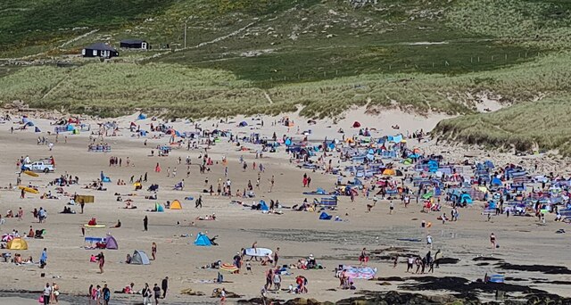
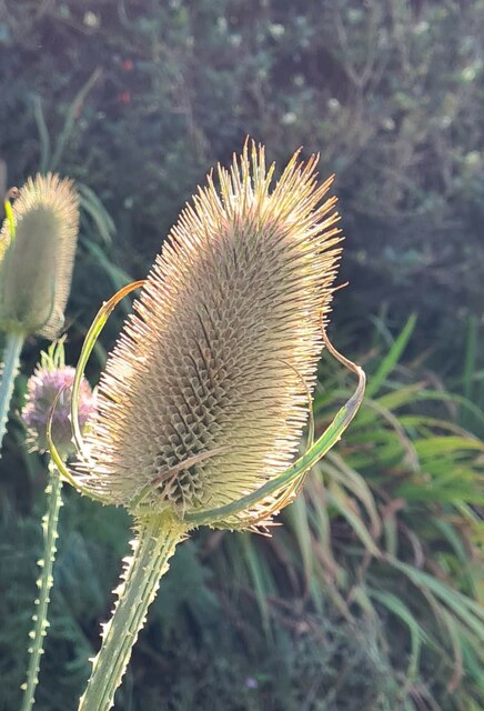
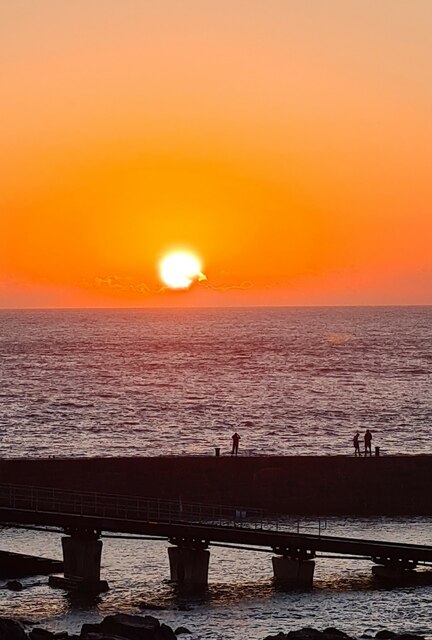
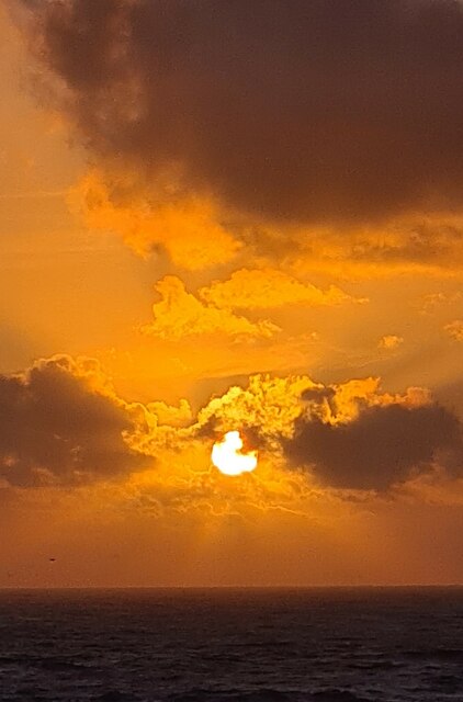
Carn Olva Images

Images are sourced within 2km of 50.078515/-5.6950737 or Grid Reference SW3526. Thanks to Geograph Open Source API. All images are credited.

Looking down to Sennen Cove from the coast path on the dunes
The crowded beach at Sennen at high tide in August The beach at Sennen is vast but at high tide space is at a premium!
The crowded beach at Sennen at high tide in August
The beach at Sennen is vast but at high tide space is at a premium!
Empty beach on a sunny day in August! Compare with <a href="https://www.geograph.org.uk/photo/6929331">SW3526 : The crowded beach at Sennen at high tide in August</a>. The beach has been closed by the lifeguards and coastguards after a suspicious object was found.  It proved to be a WWII Mills bomb which was later disposed of by the Navy bomb disposal team from Plymouth
Empty beach on a sunny day in August!
Compare with SW3526 : The crowded beach at Sennen at high tide in August. The beach has been closed by the lifeguards and coastguards after a suspicious object was found. It proved to be a WWII Mills bomb which was later disposed of by the Navy bomb disposal team from Plymouth
Waves breaking over the breakwater at Sennen Cove at high tide
Big breakers on Whitesand Bay
Sennen beach on a sunny August day
Teasel seed head
Teasel seed head
Sunset over the harbour at Sennen Cove
Figures on the breakwater at sunset
Sennen August sunset
Land's End Signpost
Land's End Signpost
View towards Greeb Farm
The First and Last Inn, Sennan
Sennen Church - corner of tower Cut benchmark on this corner

<span class="nowrap"><a title="https://www.bench-marks.org.uk/bm51379" rel="nofollow ugc noopener" href="https://www.bench-marks.org.uk/bm51379">Link</a><img style="margin-left:2px;" alt="External link" title="External link - shift click to open in new window" src="https://s1.geograph.org.uk/img/external.png" width="10" height="10"/></span>
Sennen Church - corner of tower
Cut benchmark on this corner LinkExternal link
Small boats, Sennen Cove Not a day for fishing in a small boat. These are tied up, well away from the water.
Small boats, Sennen Cove
Not a day for fishing in a small boat. These are tied up, well away from the water.
Sennen Cove viewed from the South West Coastal Path
Irish Lady rock off Sennen Cove
Public toilets at Sennen Cove
Show me another place!

Carn Olva is located at Grid Ref: SW3526 (Lat: 50.078515, Lng: -5.6950737)

Unitary Authority: Cornwall

Police Authority: Devon and Cornwall

What 3 Words

///year.access.rooms. Near Sennen, Cornwall

Nearby Locations

Carn Olva Sennen Cove

Related Wikis

Carn Towan

Carn Towan (Cornish: Karn Tewyn) is a coastal hamlet northeast of Sennen Cove in west Cornwall, England, UK. Carn Towan is in the civil parish of Sennen...
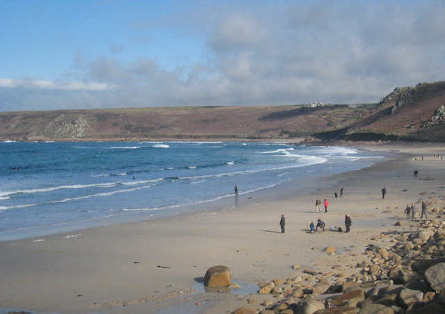
Whitesand Bay

Whitesand Bay (Cornish: Porth Senan, meaning cove at Sennen) is a wide sandy bay near Land's End in west Cornwall, England, United Kingdom. It stretches...

Mayon, Cornwall

Mayon is a hamlet on the A30 main road north of Sennen in west Cornwall, England. Mayon is about 7 miles (11 km) south-west of Penzance.Much of the land...
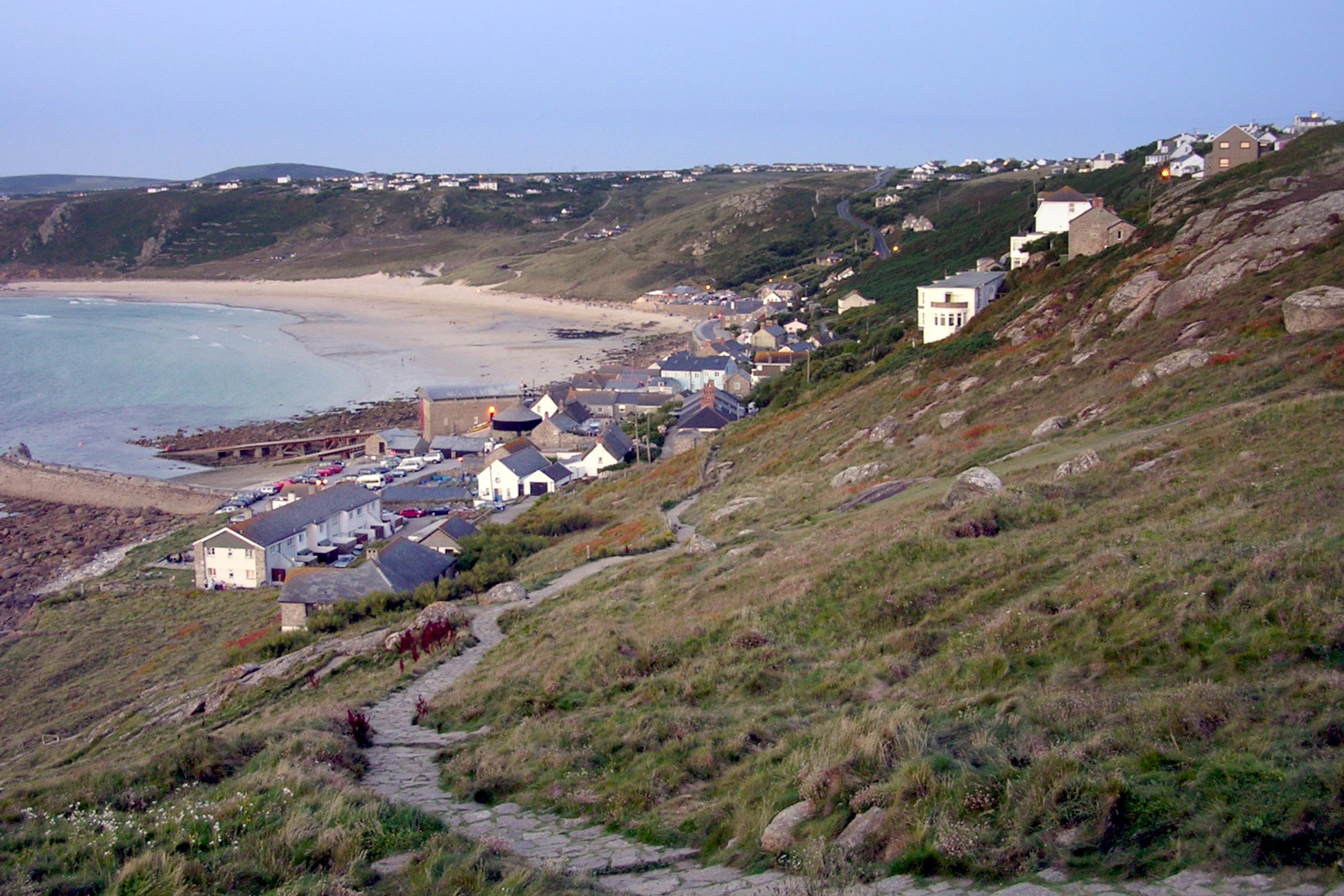
Sennen Cove

Sennen Cove (Cornish: Porthsenen) (grid reference SW352261) is a small coastal village in the parish of Sennen in Cornwall, England, United Kingdom. According...

Sennen Cove Lifeboat Station

Sennen Cove Lifeboat Station is the base for Royal National Lifeboat Institution (RNLI) search and rescue operations for the sea around Land's End, Cornwall...

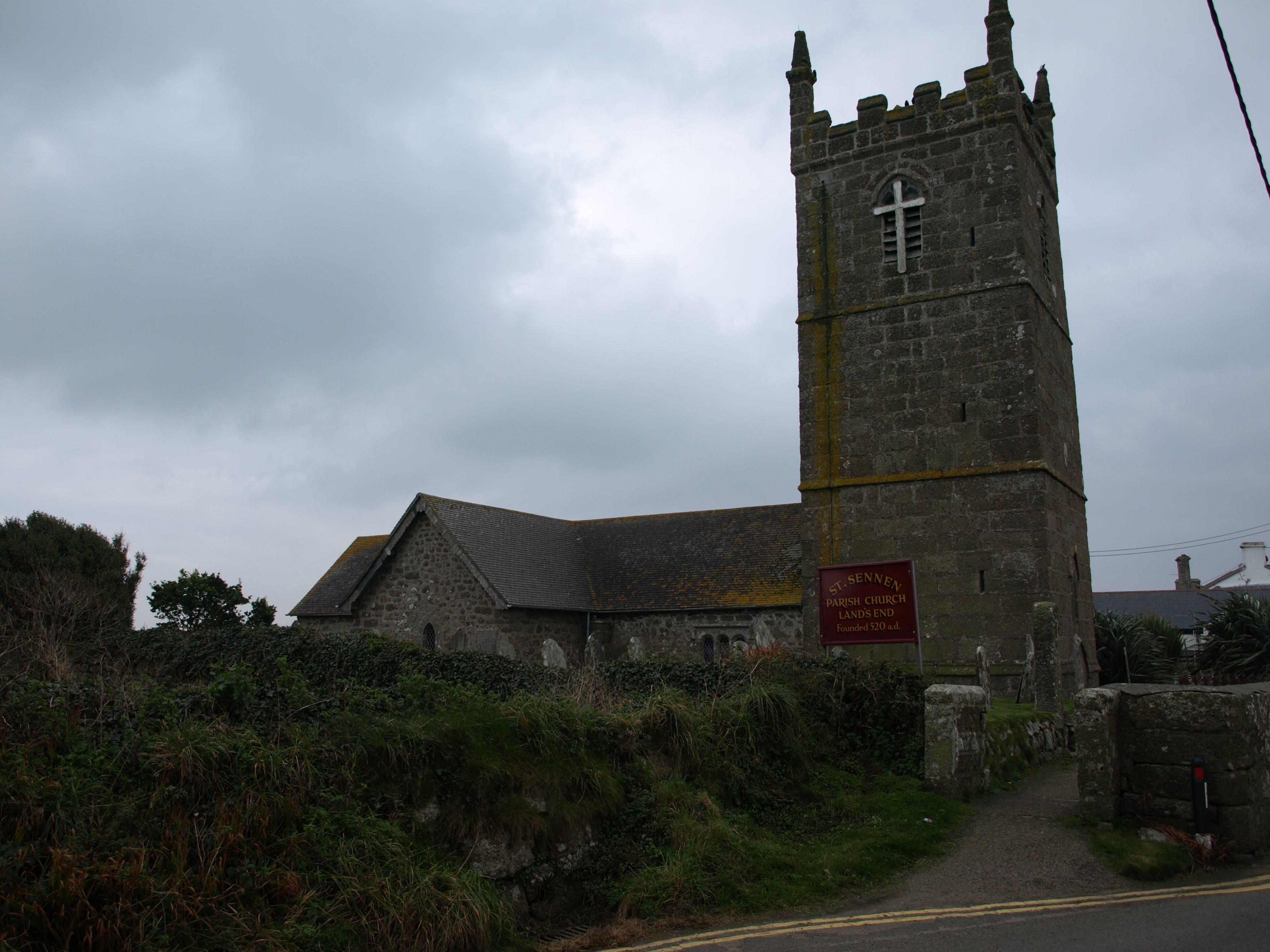
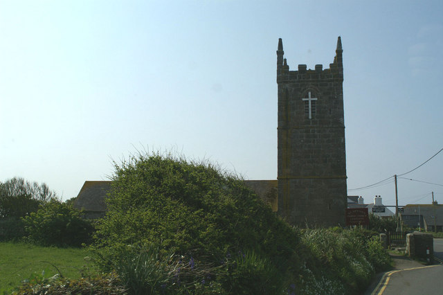
St Sennen's Church, Sennen

St. Sennen's Church, Sennen is a parish church in the Church of England located in Sennen, Cornwall, England, UK. == History == Sennen parish church is...

Sennen

Sennen (Cornish: Sen Senan or Sen Senana) is a coastal civil parish and a village in Cornwall, England, United Kingdom. Sennen village is situated approximately...

Trevillet

Trevillet or Trevillett is a hamlet in Cornwall, England, United Kingdom. It is located within the civil parish of Tintagel, to the east of Bossiney village...

Nearby Amenities

Located within 500m of 50.078515,-5.6950737
Source: PGS
Lat/Long: 50.0822568/-5.6931603
Source: PGS
Lat/Long: 50.0815707/-5.693779
Source: PGS
Lat/Long: 50.0809706/-5.6944712
Source: PGS
Lat/Long: 50.0803049/-5.6952052
Source: PGS
Lat/Long: 50.0801029/-5.6954821
Source: PGS
Lat/Long: 50.0797542/-5.6959605
Source: PGS
Lat/Long: 50.079245/-5.6968035
Source: PGS
Lat/Long: 50.0790123/-5.6972582
Source: PGS
Lat/Long: 50.0785517/-5.6981203
Source: PGS
Lat/Long: 50.0783205/-5.6986239
Source: PGS
Lat/Long: 50.078259/-5.698879
Source: PGS
Lat/Long: 50.0779715/-5.7012083
Source: PGS
Lat/Long: 50.0778902/-5.701617
Post Office
Sennen And Lands End Post Office
Addr Country: GB
Addr Postcode: TR19 7AD
Opening Hours: Mo-Su 08:00-20:00
Ref Pol Id: 123825
Lat/Long: 50.0748182/-5.6927224
Telephone
Lat/Long: 50.0748491/-5.692599
Bus Stop
First and Last Post Office
Naptan AtcoCode: 0800COD40083
Naptan Bearing: SW
Naptan CommonName: First and Last Post Office
Naptan Indicator: Opp
Naptan NaptanCode: coradagw
Naptan Street: A30
Naptan Verified: no
Source: naptan_import
Lat/Long: 50.0743177/-5.6928675
Sennen deli
Ele: 97.698975
Shop: convenience
Sym: Shopping Center
Lat/Long: 50.0747861/-5.6926934
Post Box
Brand: Royal Mail
Brand Wikidata: Q638098
Collection Times: Mo-Fr 16:15; Sa 12:15; Su off
Drive Through: no
Ele: 95.536011
Operator: Royal Mail
Operator Wikidata: Q638098
Post Box Design: type_m
Post Box Mounting: pier
Post Box Type: lamp
Ref: TR19 110
Royal Cypher: EIIR
Royal Cypher Wikidata: Q33102113
Source: survey;streetlevel imagery;aerial imagery
Survey Date: 2015-09-28
Lat/Long: 50.0747786/-5.6926409
Bench
Lat/Long: 50.0768228/-5.7002119
Direction: S
Lat/Long: 50.0761792/-5.689401
Direction: S
Lat/Long: 50.0762073/-5.6893012
Direction: S
Lat/Long: 50.0762294/-5.6893163
Direction: S
Lat/Long: 50.0762012/-5.6894161
Direction: S
Lat/Long: 50.0760239/-5.6905346
Direction: S
Lat/Long: 50.0760421/-5.6904352
Direction: S
Lat/Long: 50.0760674/-5.6904464
Direction: S
Lat/Long: 50.0760492/-5.6905458
Generator Method: photovoltaic
Generator Output Electricity: yes
Generator Source: solar
Generator Type: solar_photovoltaic_panel
Location: roof
Power: generator
Lat/Long: 50.0765597/-5.692316
Generator Method: photovoltaic
Generator Output Electricity: yes
Generator Source: solar
Generator Type: solar_photovoltaic_panel
Location: roof
Power: generator
Lat/Long: 50.076706/-5.691337
Generator Method: photovoltaic
Generator Output Electricity: yes
Generator Source: solar
Generator Type: solar_photovoltaic_panel
Location: roof
Power: generator
Lat/Long: 50.0772556/-5.6909309
Direction: SW
Generator Method: photovoltaic
Generator Output Electricity: small_installation
Generator Source: solar
Generator Type: solar_photovoltaic_panel
Location: roof
Power: generator
Source: bing
Lat/Long: 50.0761111/-5.6910628
Direction: SW
Generator Method: photovoltaic
Generator Output Electricity: small_installation
Generator Source: solar
Generator Type: solar_photovoltaic_panel
Location: roof
Power: generator
Source: bing
Lat/Long: 50.0761756/-5.6913793
Fire Hydrant
Emergency: fire_hydrant
Fire Hydrant Type: underground
Survey Date: 2022-07-03
Lat/Long: 50.076792/-5.697648
Bus Stop
Naptan AtcoCode: 0800COA16373
Naptan NaptanCode: corgpjwa
Survey Date: 2022-07-03
Lat/Long: 50.0771846/-5.6898917
Fire Hydrant
Emergency: fire_hydrant
Fire Hydrant Type: underground
Survey Date: 2022-07-03
Lat/Long: 50.0767044/-5.6986662
Bus Stop
Mayon Green Crescent
Bus: yes
Naptan AtcoCode: 0800COA16372
Naptan Bearing: NW
Naptan CommonName: Mayon Green Crescent
Naptan Indicator: o/s
Naptan NaptanCode: corgpjtw
Public Transport: platform
Source: naptan;bing;naptan_compare_tool
Survey Date: 2022-07-03
Lat/Long: 50.0771305/-5.6899712
Information: guidepost
Survey Date: 2022-07-03
Tourism: information
Lat/Long: 50.07713/-5.689982
Fire Hydrant
Emergency: fire_hydrant
Fire Hydrant Type: underground
Survey Date: 2022-07-03
Lat/Long: 50.0763127/-5.7005564
Information: guidepost
Survey Date: 2022-07-03
Tourism: information
Lat/Long: 50.0766273/-5.6992466
Passing Place
Lat/Long: 50.0773897/-5.6958972
Power: pole
Transformer: distribution
Lat/Long: 50.0800158/-5.6900476
Power: pole
Lat/Long: 50.0793617/-5.6891839
Power: pole
Lat/Long: 50.079107/-5.6888446
Power: pole
Lat/Long: 50.0781852/-5.689078
Power: pole
Lat/Long: 50.0781138/-5.689074
Power: pole
Lat/Long: 50.0773754/-5.6886005
Power: pole
Lat/Long: 50.0780054/-5.6890538
Location Transition: yes
Power: pole
Lat/Long: 50.0762668/-5.6972936
Location Transition: yes
Power: pole
Lat/Long: 50.0756093/-5.6970871
Power: pole
Lat/Long: 50.0751566/-5.6965131
Power: pole
Lat/Long: 50.0743199/-5.6974384
Power: pole
Lat/Long: 50.0741215/-5.6963818
Power: pole
Lat/Long: 50.0747494/-5.6959914
Power: pole
Lat/Long: 50.0746926/-5.6960396
The data included in this document is from www.openstreetmap.org. The data is made available under ODbL.

Have you been to Carn Olva?

Leave your review of Carn Olva below (or comments, questions and feedback).