Bayton
Settlement in Worcestershire Malvern Hills
England
Bayton
Bayton is a small village located in the county of Worcestershire, England. Situated in the Wyre Forest District, it is nestled between the towns of Kidderminster and Cleobury Mortimer. The village is surrounded by picturesque countryside and offers a peaceful and idyllic setting for its residents.
The history of Bayton can be traced back to medieval times when it was a farming community. Today, it retains its rural charm with a mix of traditional cottages and modern houses. The population of Bayton is relatively small, with around 350 residents, contributing to its close-knit community feel.
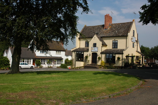
The village is well-served by amenities, including a local pub, The Bell Inn, which has been a focal point for socializing and dining for many years. There is also a village hall that hosts various community events and activities throughout the year, bringing residents together.
For outdoor enthusiasts, Bayton offers plenty of opportunities for walking, cycling, and exploring the surrounding countryside. The nearby Wyre Forest provides a beautiful natural setting, with numerous trails and paths to discover. The village is also within close proximity to the Shropshire Hills Area of Outstanding Natural Beauty, offering breathtaking views and further outdoor recreational opportunities.
Despite its rural location, Bayton benefits from good transport links. The A456 road runs through the village, connecting it to nearby towns and cities. Kidderminster, with its wider range of amenities and transport connections, is just a short drive away.
In summary, Bayton is a charming village in Worcestershire, offering a peaceful and picturesque setting for residents. With its strong community spirit, beautiful countryside, and convenient location, it is an attractive place to live for those seeking a slower pace of life.
If you have any feedback on the listing, please let us know in the comments section below.
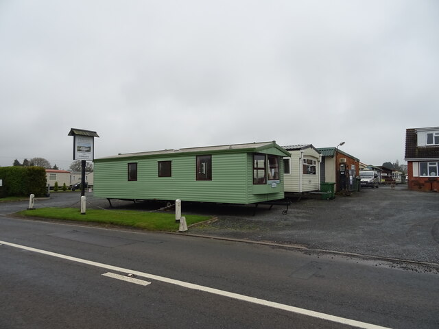
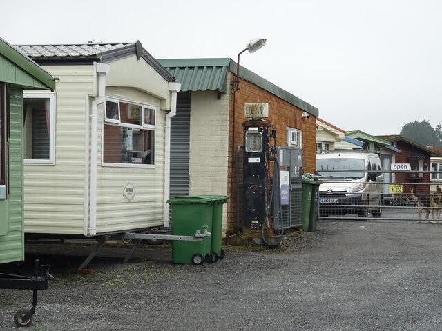
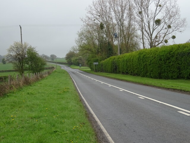
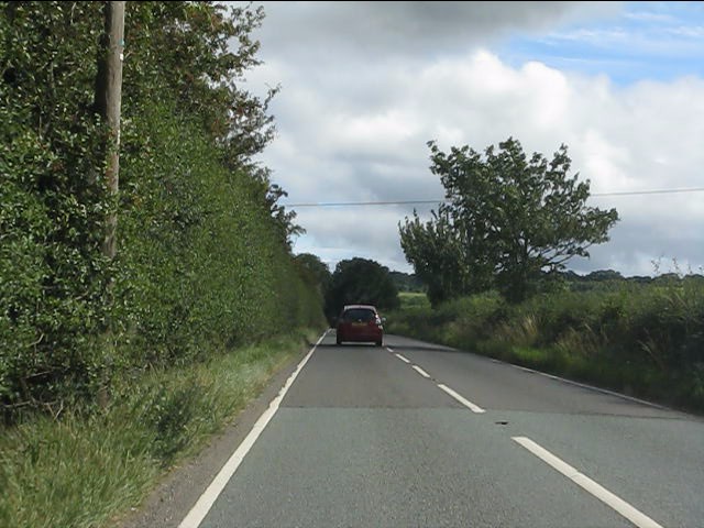
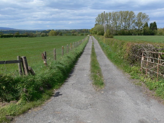
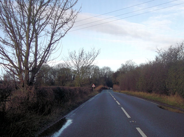
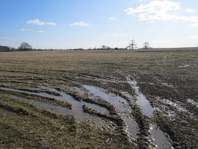
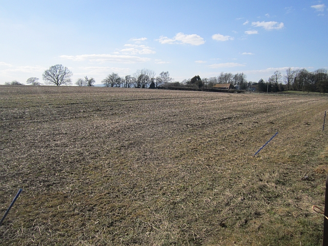
Bayton Images
Images are sourced within 2km of 52.357399/-2.453238 or Grid Reference SO6973. Thanks to Geograph Open Source API. All images are credited.


Bayton is located at Grid Ref: SO6973 (Lat: 52.357399, Lng: -2.453238)
Administrative County: Worcestershire
District: Malvern Hills
Police Authority: West Mercia
What 3 Words
///insist.widely.length. Near Cleobury Mortimer, Shropshire
Related Wikis
Bayton
Bayton is a village and civil parish in the Malvern Hills District of Worcestershire, England. According to the 2021 census it had a population of 535...
Mamble
Mamble is a village and civil parish in the Malvern Hills District in the county of Worcestershire, England. It is located on the A456 between Bewdley...
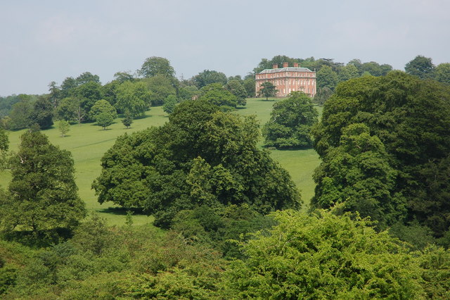
Mawley Hall
Mawley Hall is a privately owned 18th-century country mansion near Cleobury Mortimer, Shropshire, England. It is a Grade I listed building.The Blount family...

Cleobury Mortimer railway station
Cleobury Mortimer railway station was a station in Cleobury Mortimer, Shropshire, England. The station was opened in 1864 and closed in 1962. Station buildings...

Sodington Hall
Sodington Hall is an early 19th-century country house in the parish of Mamble in Worcestershire, England. The Grade II listed building was described by...

Clows Top
Clows Top is a village in north Worcestershire, England. There is a village shop/post office, a butcher's, a village hall (named the "Victory Hall") and...

Castle Toot
Castle Toot, or Cleobury Castle, was a motte castle by the River Rea in the town of Cleobury Mortimer, Shropshire. It is a scheduled monument, first listed...

St Mary's Church, Cleobury Mortimer
St Mary's Church is on Church Street, Cleobury Mortimer, Shropshire, England. It is an active Anglican parish church in the deanery of Ludlow, the archdeaconry...
Nearby Amenities
Located within 500m of 52.357399,-2.453238Have you been to Bayton?
Leave your review of Bayton below (or comments, questions and feedback).