Bayton Common

Settlement in Worcestershire Malvern Hills

England

Bayton Common

Cottages in Bayton An isolated village in north-west Worcestershire.
Cottages in Bayton Credit: Jonathan Billinger

Bayton Common is a small village located in Worcestershire, England. Situated in the picturesque countryside, it is surrounded by rolling hills and charming rural landscapes. The village is part of the Wyre Forest District and lies approximately 14 miles southwest of Kidderminster.

Bayton Common is characterized by its quaint and peaceful atmosphere, making it an ideal place for those seeking a tranquil retreat from the hustle and bustle of city life. The village is predominantly residential, with a small population of around 200 residents. The community in Bayton Common is close-knit, fostering a strong sense of camaraderie and neighborly support.

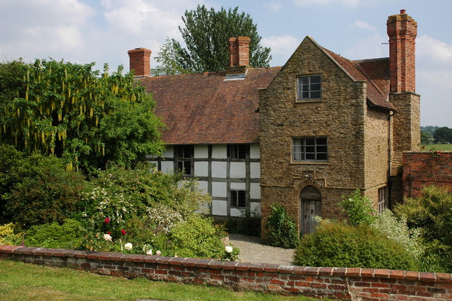
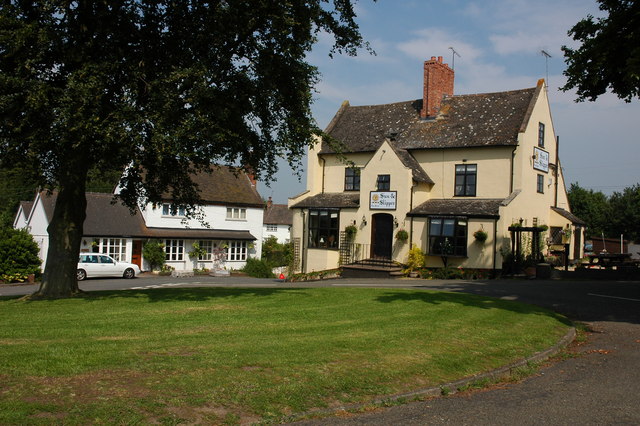
The village is home to a number of traditional, well-preserved cottages and houses, showcasing the architectural charm of the region. It also boasts a village green, providing a recreational space for locals and visitors alike to enjoy outdoor activities and events.

Nature enthusiasts will find Bayton Common to be a haven, as it is surrounded by an abundance of natural beauty. The nearby Wyre Forest offers extensive woodland walks and trails, allowing visitors to immerse themselves in the stunning scenery. The area is also known for its diverse wildlife, with opportunities for birdwatching and spotting native species.

Although small, Bayton Common has a strong sense of community and offers a peaceful and idyllic setting for those seeking a rural lifestyle in Worcestershire.

If you have any feedback on the listing, please let us know in the comments section below.

Bayton Common Images

Images are sourced within 2km of 52.354915/-2.424786 or Grid Reference SO7173. Thanks to Geograph Open Source API. All images are credited.

Cottages in Bayton An isolated village in north-west Worcestershire.
Cottages in Bayton
An isolated village in north-west Worcestershire.
Bayton A village at the end of several very narrow lanes.
Bayton
A village at the end of several very narrow lanes.
Gate and stile Some overgrown hedges near Bayton.
Gate and stile
Some overgrown hedges near Bayton.
Fields, Bayton The wooded spur looks artificial.
Fields, Bayton
The wooded spur looks artificial.
Bayton Church and lychgate
House beside Bayton church Attractive house situated by the churchyard at Bayton.
House beside Bayton church
Attractive house situated by the churchyard at Bayton.
Bayton Church of England Primary School This primary school at Bayton still thrives well, and is placed close to the church of St. Bartholomew's.
Bayton Church of England Primary School
This primary school at Bayton still thrives well, and is placed close to the church of St. Bartholomew's.
The Old Vicarage (Bayton) This splendid house that has a mix of stone and timber-framing does not have a grade listed status... that shocked me actually! This building is one of the neighbours to St. Bartholomew's church.
The Old Vicarage (Bayton)
This splendid house that has a mix of stone and timber-framing does not have a grade listed status... that shocked me actually! This building is one of the neighbours to St. Bartholomew's church.
Bayton Playing Field
Lake at the Old Vicarage (Bayton)
Ducks in the Lake at the Old Vicarage (Bayton)
Old Boundary Marker near Bayton Parish Boundary Marker which was on the north side of Clows Top Road east of Bayton village. Formerly on the boundary of Bayton and Mamble parishes, but now entirely in Bayton parish. Inscribed B, l. on its west face (Bayton parish) and M, L. on its south face (Mamble parish). The stone is broken and has been removed for repair.

Milestone Society National ID: WO_BAYTON03pb
Old Boundary Marker near Bayton
Parish Boundary Marker which was on the north side of Clows Top Road east of Bayton village. Formerly on the boundary of Bayton and Mamble parishes, but now entirely in Bayton parish. Inscribed B, l. on its west face (Bayton parish) and M, L. on its south face (Mamble parish). The stone is broken and has been removed for repair. Milestone Society National ID: WO_BAYTON03pb
B4202 approaching a rural crossroads
Rural crossroads, B4202
B4202 at Tansy Fields
B4202 near Church Hill
B4202 - Bayton Common crossroads Phone box, post box and parish noticeboard feature at his nodal point.
B4202 - Bayton Common crossroads
Phone box, post box and parish noticeboard feature at his nodal point.
B4202 at the junction for Bayton
Show me another place!

Bayton Common is located at Grid Ref: SO7173 (Lat: 52.354915, Lng: -2.424786)

Administrative County: Worcestershire

District: Malvern Hills

Police Authority: West Mercia

What 3 Words

///ladders.joints.copycat. Near Cleobury Mortimer, Shropshire

Nearby Locations

Church Hill Bayton Common

Related Wikis

Clows Top

Clows Top is a village in north Worcestershire, England. There is a village shop/post office, a butcher's, a village hall (named the "Victory Hall") and...

Bayton

Bayton is a village and civil parish in the Malvern Hills District of Worcestershire, England. According to the 2021 census it had a population of 535...

Far Forest

Far Forest is a small village in north Worcestershire, England, approximately 3.5 miles (5.6 km) west of Bewdley, and next to the border with Shropshire...

Cleobury Mortimer railway station

Cleobury Mortimer railway station was a station in Cleobury Mortimer, Shropshire, England. The station was opened in 1864 and closed in 1962. Station buildings...

Fingerpost, Worcestershire

Fingerpost is a hamlet and road junction in north Worcestershire, England, approximately 3 miles (4.8 km) west of Bewdley. It is located at the junction...

Mamble

Mamble is a village and civil parish in the Malvern Hills District in the county of Worcestershire, England. It is located on the A456 between Bewdley...

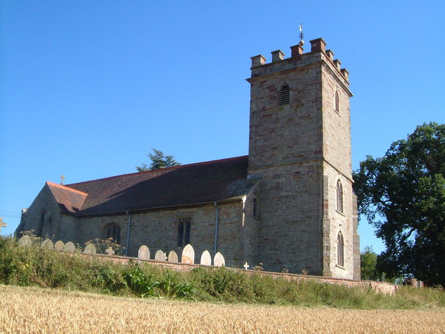
Church of St Peter and St Paul, Rock

The Church of St Peter and St Paul is an Anglican church in the village of Rock, in Worcestershire, England. It is in the parish of Rock with Heightington...

Sodington Hall

Sodington Hall is an early 19th-century country house in the parish of Mamble in Worcestershire, England. The Grade II listed building was described by...

Nearby Amenities

Located within 500m of 52.354915,-2.424786
Telephone Box
Naptan AtcoCode: 2000G105700
Naptan Bearing: S
Naptan BusStopType: CUS
Naptan CommonName: Telephone Box
Naptan Indicator: Adj
Naptan Landmark: Telephone Box
Naptan NaptanCode: wocgmdaj
Naptan Street: B4202
Naptan Verified: no
Source: naptan_import
Lat/Long: 52.3538372/-2.4253032
Defibrillator
Booth: K6
Covered: booth
Defibrillator Location: Inside Red Telephone Box
Disused Amenity: telephone
Emergency: defibrillator
Man Made: telephone_box
Lat/Long: 52.3536704/-2.425411
Post Box
Post Box Type: lamp
Royal Cypher: EIIR
Royal Cypher Wikidata: Q33102113
Lat/Long: 52.3537053/-2.4253823
Church Hill
Ele: 230
Natural: peak
Lat/Long: 52.3553638/-2.4267254
Waste Basket
Lat/Long: 52.35374/-2.4253587
The data included in this document is from www.openstreetmap.org. The data is made available under ODbL.

Have you been to Bayton Common?

Leave your review of Bayton Common below (or comments, questions and feedback).