Bayton
Civil Parish in Worcestershire Malvern Hills
England
Bayton
Bayton is a civil parish located in the county of Worcestershire, England. Situated in the Wyre Forest District, it covers an area of approximately 9.6 square kilometers. The village of Bayton is nestled in the picturesque countryside, surrounded by rolling hills and lush green fields.
Bayton is a small and close-knit community, with a population of around 300 residents. The village is known for its peaceful and tranquil atmosphere, offering a welcome escape from the hustle and bustle of larger towns and cities. The parish is predominantly rural, with a mix of residential properties, farms, and agricultural land.
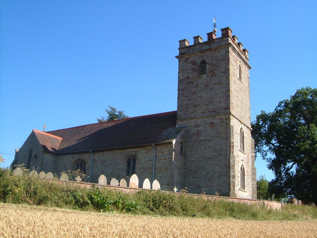
The village of Bayton itself is centered around its historic church, St. Bartholomew's, which dates back to the 13th century. The church is a focal point of the community and holds regular services and events for villagers to come together.
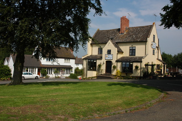
Despite its small size, Bayton has a range of amenities to cater to the needs of its residents. These include a village hall, a primary school, and a pub, providing essential services and a sense of community.
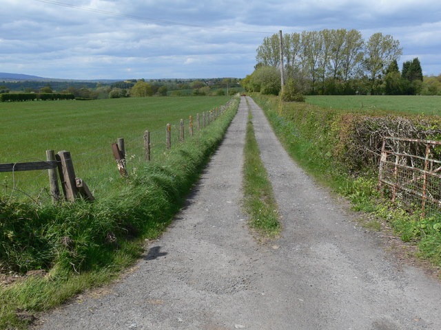
Bayton is surrounded by beautiful countryside, making it an ideal location for outdoor enthusiasts. The area offers numerous walking and cycling routes, allowing residents and visitors to explore the stunning natural landscapes.
Overall, Bayton is a charming and peaceful village in Worcestershire, offering a rural retreat and a strong sense of community for its residents.
If you have any feedback on the listing, please let us know in the comments section below.
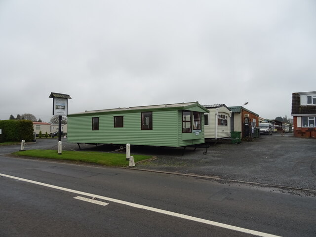
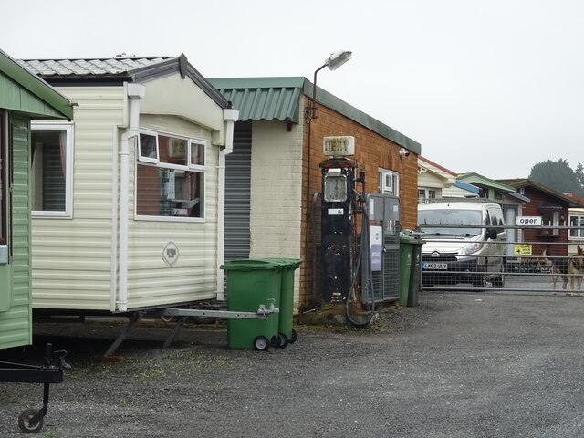
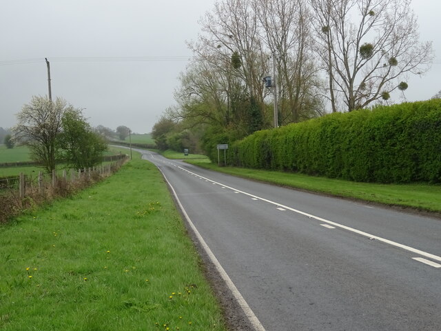
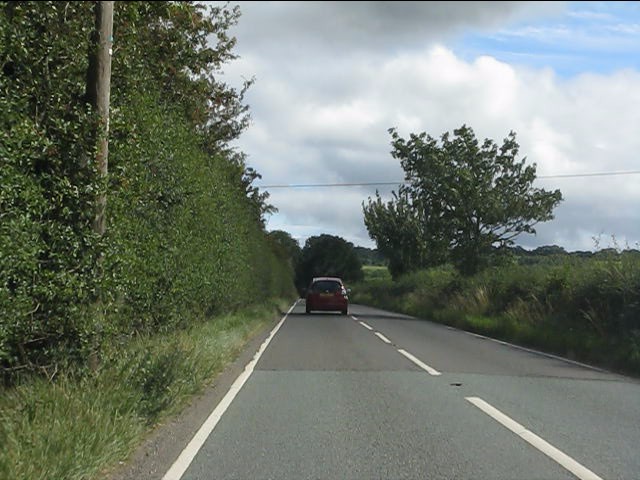
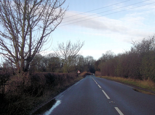
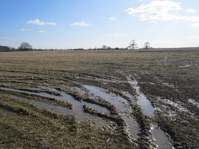
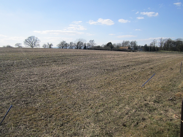
Bayton Images
Images are sourced within 2km of 52.357364/-2.445954 or Grid Reference SO6973. Thanks to Geograph Open Source API. All images are credited.


Bayton is located at Grid Ref: SO6973 (Lat: 52.357364, Lng: -2.445954)
Administrative County: Worcestershire
District: Malvern Hills
Police Authority: West Mercia
What 3 Words
///unpainted.frock.drooling. Near Cleobury Mortimer, Shropshire
Related Wikis
Bayton
Bayton is a village and civil parish in the Malvern Hills District of Worcestershire, England. According to the 2021 census it had a population of 535...
Mamble
Mamble is a village and civil parish in the Malvern Hills District in the county of Worcestershire, England. It is located on the A456 between Bewdley...

Cleobury Mortimer railway station
Cleobury Mortimer railway station was a station in Cleobury Mortimer, Shropshire, England. The station was opened in 1864 and closed in 1962. Station buildings...
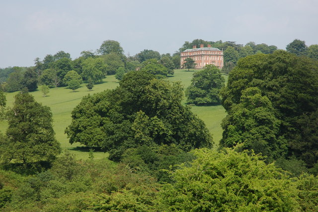
Mawley Hall
Mawley Hall is a privately owned 18th-century country mansion near Cleobury Mortimer, Shropshire, England. It is a Grade I listed building.The Blount family...

Clows Top
Clows Top is a village in north Worcestershire, England. There is a village shop/post office, a butcher's, a village hall (named the "Victory Hall") and...

Sodington Hall
Sodington Hall is an early 19th-century country house in the parish of Mamble in Worcestershire, England. The Grade II listed building was described by...

Hunthouse Wood
Hunthouse Wood is a nature reserve of the Worcestershire Wildlife Trust, situated near the villages of Clows Top and Mamble, in Worcestershire, England...

Castle Toot
Castle Toot, or Cleobury Castle, was a motte castle by the River Rea in the town of Cleobury Mortimer, Shropshire. It is a scheduled monument, first listed...
Related Videos

CCCAMPERS BRAND NEW Renault Trafic Mamble Campervan conversion 2023
Our BRAND spanking NEW Renault Trafic is here and we have decided to kit her out with a Mamble conversion, with Hacienda ...

Layla! Our Lunar Clubman SE
Hi Guys welcome back to the channel. In this video I give you a quick run down on our new to us caravan Layla! You see an ...

Clay Farm Clows Top Caravan touring park.
Hi Guys welcome back to the channel. In this video I give you a quick run down on the facilities and things to do in and around the ...

Quick look at our CCCAMPERS Clee Duo in Nissan NV200 Campercar
A quick look aroud CCCAMPERS Clee Duo conversion in the Nissan NV200 Camper Car.... If you have any questions get in ...
Nearby Amenities
Located within 500m of 52.357364,-2.445954Have you been to Bayton?
Leave your review of Bayton below (or comments, questions and feedback).