Rubh' an Eich
Coastal Feature, Headland, Point in Ross-shire
Scotland
Rubh' an Eich

Rubh' an Eich is a prominent coastal feature located in Ross-shire, Scotland. It is a headland or point that juts out into the North Atlantic Ocean, offering breathtaking views of the surrounding landscape. The name "Rubh' an Eich" translates to "Point of the Horse" in English.
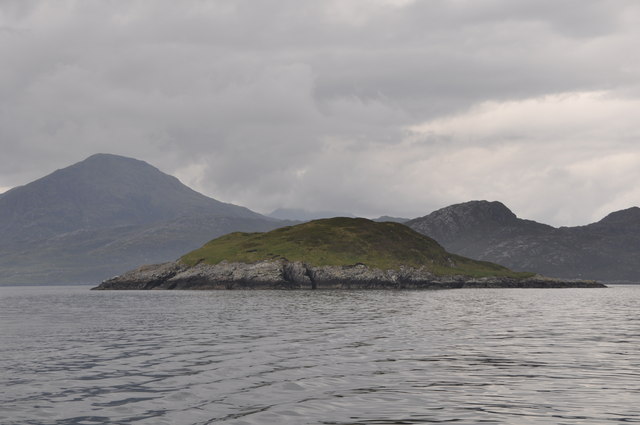
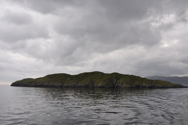
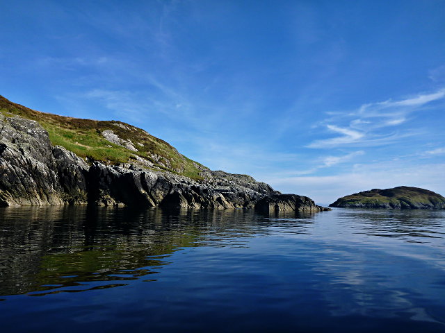
This headland is characterized by its rugged and rocky terrain, with steep cliffs that drop down into the crashing waves below. The cliffs are composed of ancient rock formations, showcasing the geological history of the area. The point is also home to a small sandy beach, providing a contrast to the ruggedness of the cliffs.
The location of Rubh' an Eich makes it an ideal spot for nature enthusiasts and birdwatchers. The headland is a haven for various bird species, including puffins, gannets, and guillemots. Visitors can observe these fascinating creatures nesting and diving into the ocean in search of food.
The headland is accessible via a coastal path, which offers stunning panoramic views of the coastline and the surrounding sea. The path is well-maintained and suitable for walkers of all abilities. It is a popular spot for hikers and photographers, who come to capture the beauty of the landscape.
Overall, Rubh' an Eich is a captivating coastal feature in Ross-shire, Scotland. Its dramatic cliffs, sandy beach, and diverse birdlife make it a must-visit destination for nature lovers and those seeking a tranquil retreat by the sea.
If you have any feedback on the listing, please let us know in the comments section below.
Rubh' an Eich Images
Images are sourced within 2km of 57.919969/-6.6270489 or Grid Reference NB2601. Thanks to Geograph Open Source API. All images are credited.

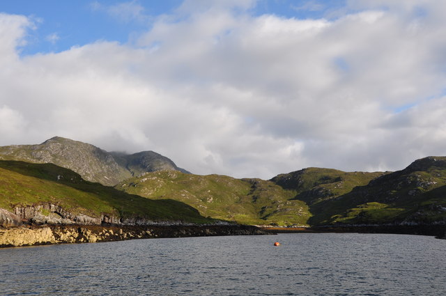

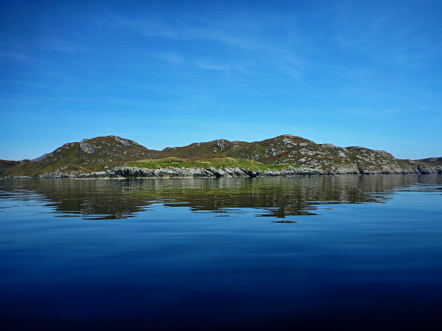

![Coastal View A coastal view taken on Sea Harris trip with the summit of Caiteshal [Caiteseal] in the distance and under cloud.](https://s2.geograph.org.uk/geophotos/03/68/61/3686198_2ccaa6ec.jpg)

Rubh' an Eich is located at Grid Ref: NB2601 (Lat: 57.919969, Lng: -6.6270489)
Unitary Authority: Na h-Eileanan an Iar
Police Authority: Highlands and Islands
What 3 Words
///tenders.painted.couriers. Near Tarbert, Na h-Eileanan Siar
Related Wikis

Rèinigeadal
Rèinigeadal (or Rhenigidale) is a small settlement in Harris, in the Western Isles in Scotland. It is situated on the east coast of Harris 8 kilometres...

Loch Seaforth
Loch Seaforth (Scottish Gaelic: Loch Shiphoirt or Shìophoirt) is a sea loch in the Outer Hebrides of Scotland. It consists of three distinct sections;...

Scalpay, Outer Hebrides
Scalpay (; Scottish Gaelic: Sgalpaigh or Sgalpaigh na Hearadh; i.e. "Scalpay of Harris" to distinguish it from Scalpay off Skye) is an island in the Outer...

Eilean Glas, Scalpay
Eilean Glas is a peninsula of Scalpay in the Outer Hebrides, Scotland. Eilean Glas is home to a historic lighthouse. Eilean Glas means Grey/Green Island...
Nearby Amenities
Located within 500m of 57.919969,-6.6270489Have you been to Rubh' an Eich?
Leave your review of Rubh' an Eich below (or comments, questions and feedback).