Àird a' Bhàigh
Hill, Mountain in Ross-shire
Scotland
Àird a' Bhàigh

Àird a' Bhàigh is a hill located in Ross-shire, Scotland. Situated within the Scottish Highlands, it forms part of the stunning landscape of the region. The hill stands at an elevation of approximately 496 meters (1,627 feet) above sea level and offers breathtaking panoramic views of the surrounding area.
The terrain of Àird a' Bhàigh is predominantly rugged and hilly, with rocky outcrops and scattered vegetation. It is known for its diverse wildlife, including various species of birds and mammals, making it a popular spot for nature enthusiasts and wildlife photographers.
Hikers and outdoor enthusiasts are drawn to Àird a' Bhàigh due to its challenging yet rewarding trails. The ascent to the summit can be demanding, but the stunning vistas at the top make it well worth the effort. The hill offers a range of routes suitable for different experience levels, from moderate hikes to more strenuous climbs.
The surrounding area of Àird a' Bhàigh is also rich in historical and cultural heritage. There are ancient ruins and archaeological sites scattered throughout the region, providing a glimpse into the area's past. Additionally, the hill is located near several quaint villages, offering visitors the opportunity to immerse themselves in local Scottish culture and hospitality.
Overall, Àird a' Bhàigh is a remarkable hill in Ross-shire, offering outdoor enthusiasts, nature lovers, and history buffs an opportunity to explore the beauty and heritage of the Scottish Highlands.
If you have any feedback on the listing, please let us know in the comments section below.
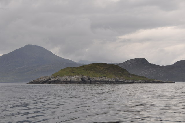
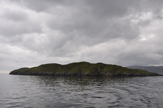
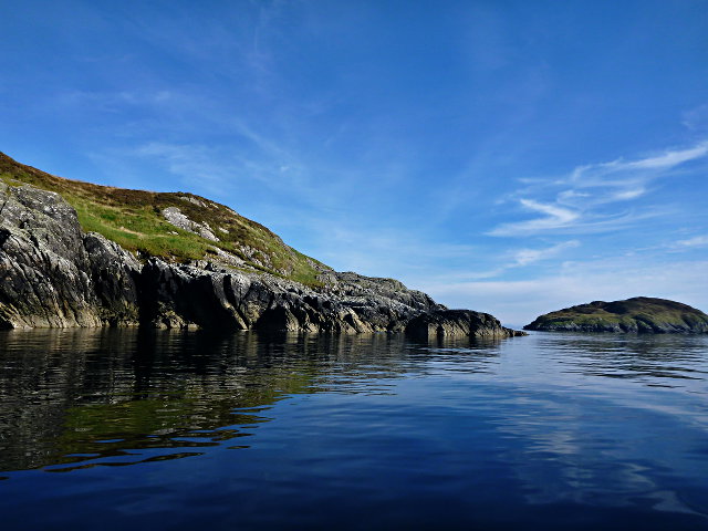
Àird a' Bhàigh Images
Images are sourced within 2km of 57.922656/-6.6236592 or Grid Reference NB2601. Thanks to Geograph Open Source API. All images are credited.

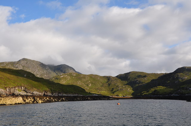

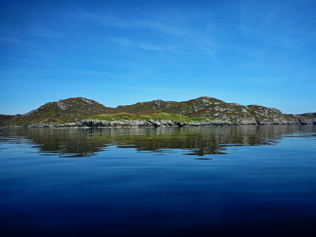
![Coastal View A coastal view taken on Sea Harris trip with the summit of Caiteshal [Caiteseal] in the distance and under cloud.](https://s2.geograph.org.uk/geophotos/03/68/61/3686198_2ccaa6ec.jpg)

Àird a' Bhàigh is located at Grid Ref: NB2601 (Lat: 57.922656, Lng: -6.6236592)
Unitary Authority: Na h-Eileanan an Iar
Police Authority: Highlands and Islands
What 3 Words
///employers.essential.mugs. Near Tarbert, Na h-Eileanan Siar
Related Wikis


Nearby Amenities
Located within 500m of 57.922656,-6.6236592Have you been to Àird a' Bhàigh?
Leave your review of Àird a' Bhàigh below (or comments, questions and feedback).