Lobthorpe
Settlement in Lincolnshire South Kesteven
England
Lobthorpe
Lobthorpe is a quaint village located in the county of Lincolnshire, England. Situated approximately 10 miles north of the historic city of Lincoln, Lobthorpe offers a peaceful and scenic setting for its residents. The village is nestled amidst rolling hills and surrounded by picturesque countryside, making it an ideal location for those seeking a tranquil escape from the hustle and bustle of city life.
Lobthorpe is home to a close-knit community, with a population of around 300 residents. The village exudes a charming atmosphere, with its traditional stone cottages and well-preserved historic buildings. The local church, St. Mary's, is a prominent feature, dating back to the 12th century and adding to the village's rich heritage.
Despite its small size, Lobthorpe offers a range of amenities to its residents. The village boasts a local pub, The Red Lion, which serves as a social hub for both locals and visitors. Additionally, there is a village hall that hosts various community events and gatherings throughout the year, fostering a strong sense of unity among residents.
The surrounding area provides ample opportunities for outdoor activities and exploration. The nearby Lincolnshire Wolds, an Area of Outstanding Natural Beauty, offers stunning landscapes for walking, cycling, and enjoying the outdoors. Lobthorpe is also conveniently located for those wishing to explore the city of Lincoln, with its historic cathedral, castle, and an array of shops, restaurants, and cultural attractions.
Overall, Lobthorpe provides a serene and idyllic setting, offering a true taste of rural English village life.
If you have any feedback on the listing, please let us know in the comments section below.
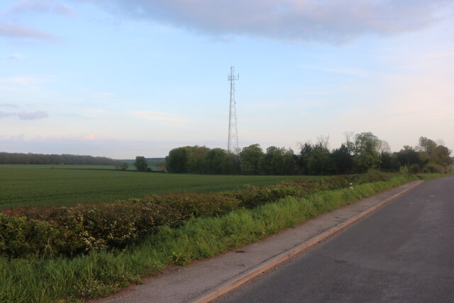
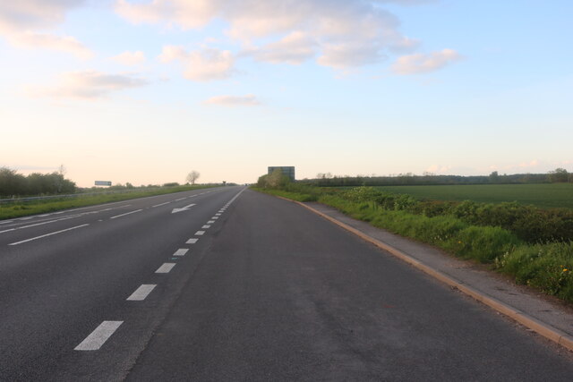
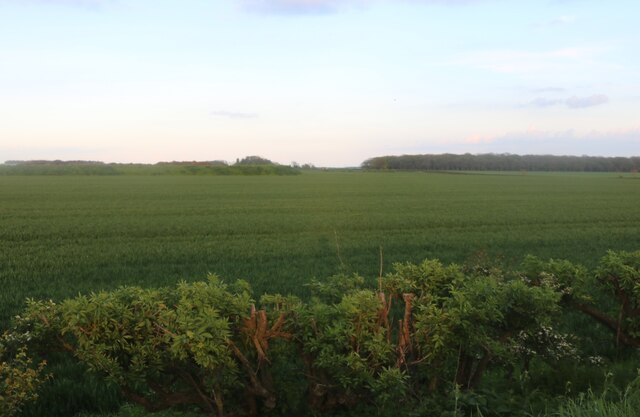
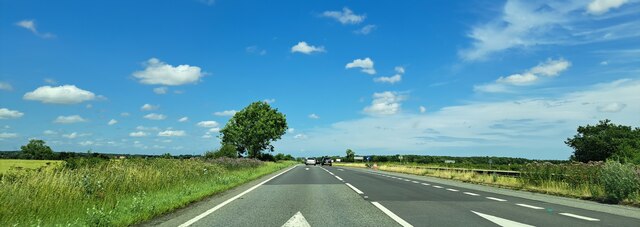
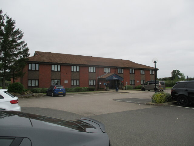
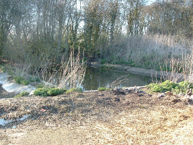
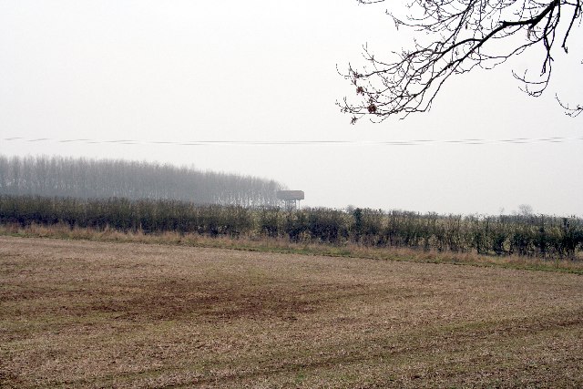
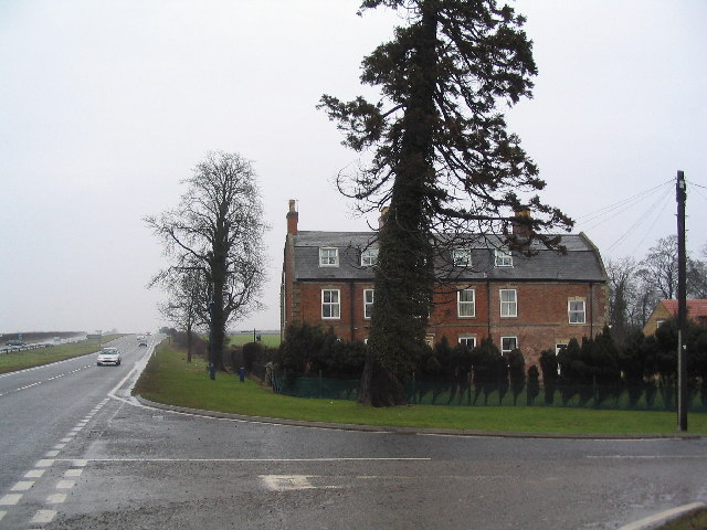
Lobthorpe Images
Images are sourced within 2km of 52.775029/-0.59019 or Grid Reference SK9520. Thanks to Geograph Open Source API. All images are credited.


Lobthorpe is located at Grid Ref: SK9520 (Lat: 52.775029, Lng: -0.59019)
Division: Parts of Kesteven
Administrative County: Lincolnshire
District: South Kesteven
Police Authority: Lincolnshire
What 3 Words
///slurping.defected.skin. Near South Witham, Lincolnshire
Nearby Locations
Related Wikis
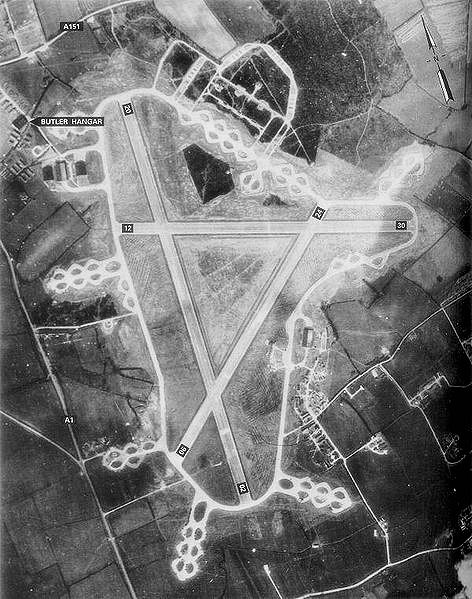
RAF North Witham
Royal Air Force North Witham or more simply RAF North Witham is a former Royal Air Force station located in Twyford Wood, off the A1 between Stamford and...

Witham Preceptory
Withham Preceptory, one of the smallest Knights Templar preceptories in England, was founded, before 1164, at Temple Hill, near South Witham, Lincolnshire...

Twyford Wood
Twyford Wood, formerly known as Twyford Forest, is a commercial wood around grid reference SK948230 in Lincolnshire owned by the Forestry Commission, England...

North Witham
North Witham is a small village and nominally a civil parish in South Kesteven, Lincolnshire, England. The village is located along the upper course of...
Nearby Amenities
Located within 500m of 52.775029,-0.59019Have you been to Lobthorpe?
Leave your review of Lobthorpe below (or comments, questions and feedback).