Chapel Hill
Hill, Mountain in Lincolnshire South Kesteven
England
Chapel Hill
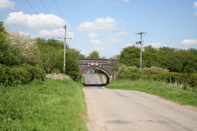
Chapel Hill is a small village located in the county of Lincolnshire, England. Situated on a hill, it offers picturesque views of the surrounding countryside and is known for its scenic beauty. The village is positioned approximately 9 miles northeast of the town of Boston and 15 miles southeast of the city of Lincoln.
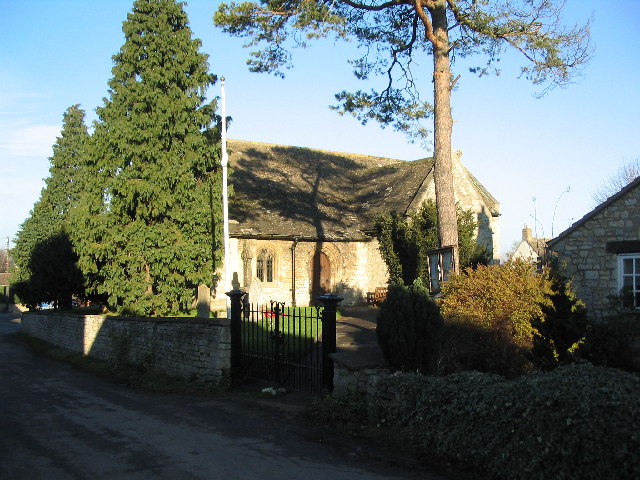
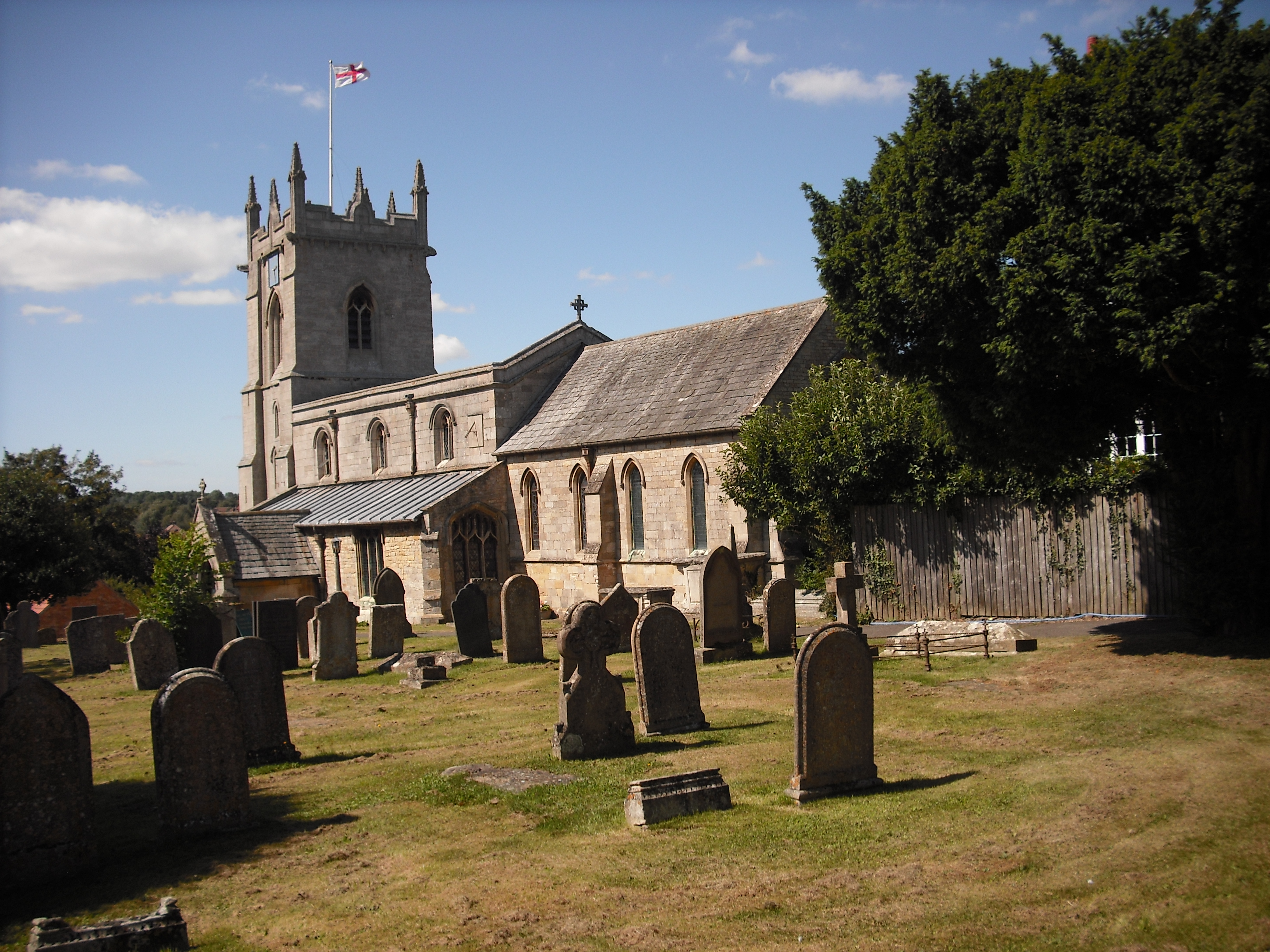
As its name suggests, Chapel Hill has a historical connection to a place of worship. St. Mary's Church, a charming medieval church dating back to the 12th century, is situated at the top of the hill, adding to the village's character and charm. The church is open to visitors and offers a glimpse into the region's rich history.
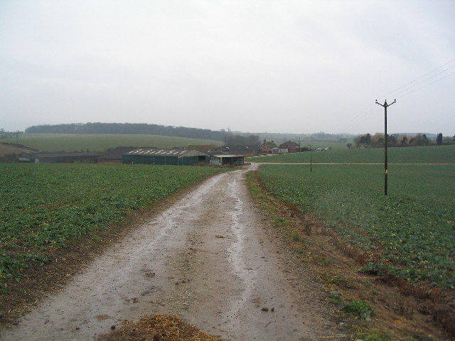
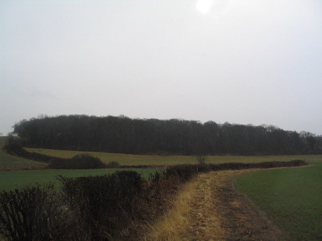
Chapel Hill is a small and close-knit community with a population of around 500 residents. It is a quiet and peaceful village, perfect for those seeking a tranquil countryside setting. The village is surrounded by lush green fields and farmland, providing ample opportunities for outdoor activities such as walking, cycling, and horse riding.
While Chapel Hill itself does not have many amenities, the village is within easy reach of nearby towns and cities that offer a wider range of services and facilities. The bustling market town of Boston, with its shopping centers, restaurants, and cultural attractions, is just a short drive away.
In summary, Chapel Hill in Lincolnshire is a charming village situated on a hill, offering stunning views and a peaceful rural lifestyle. With its historical church and proximity to nearby towns, it provides residents and visitors with a balance of tranquility and accessibility.
If you have any feedback on the listing, please let us know in the comments section below.
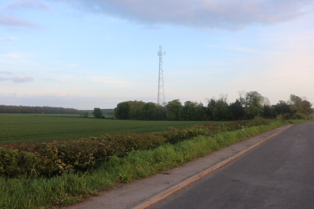
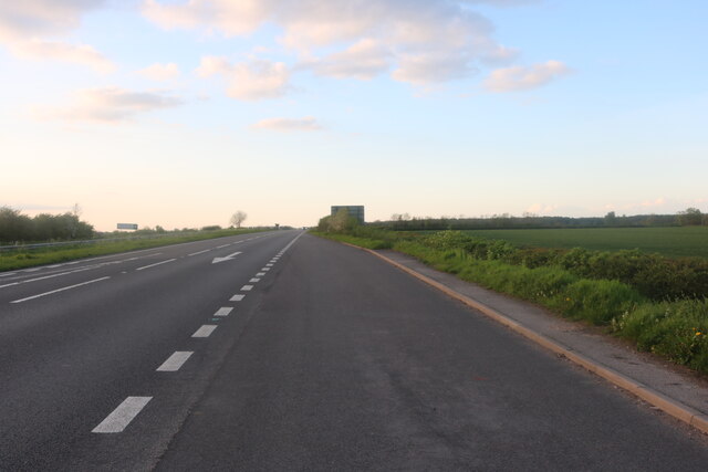
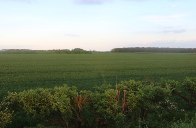
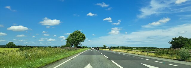
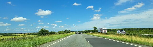
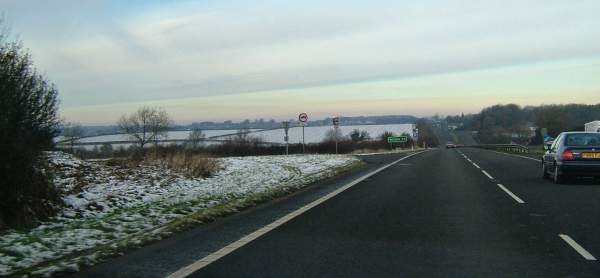
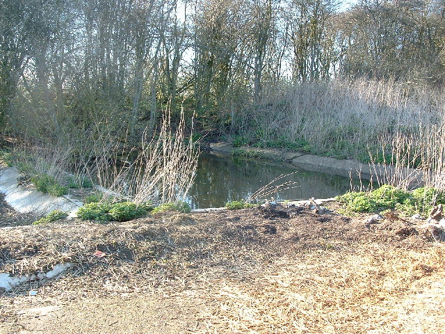
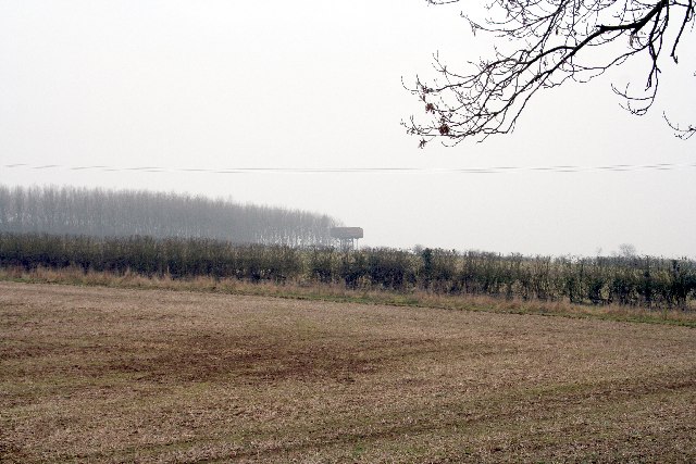
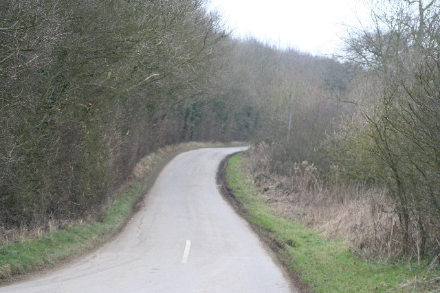
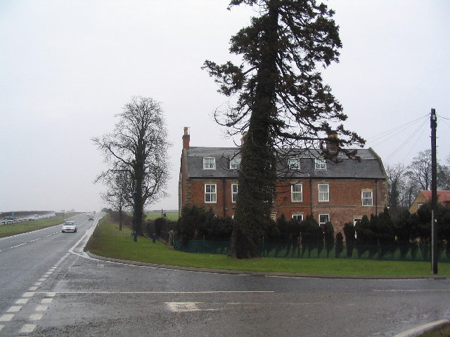
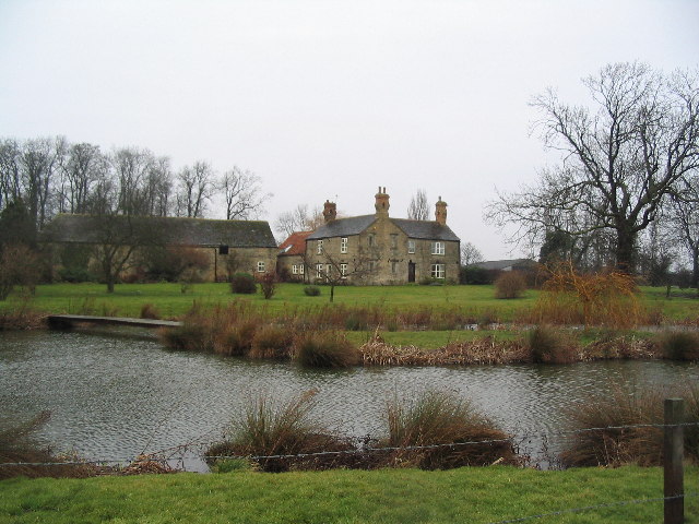
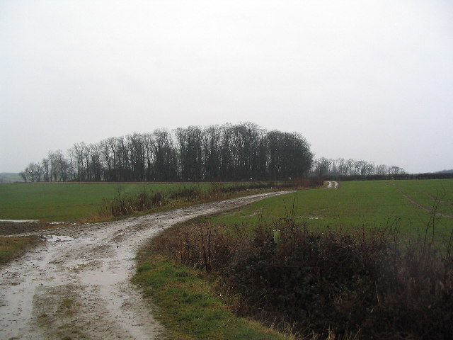
Chapel Hill Images
Images are sourced within 2km of 52.777918/-0.58818889 or Grid Reference SK9520. Thanks to Geograph Open Source API. All images are credited.


Chapel Hill is located at Grid Ref: SK9520 (Lat: 52.777918, Lng: -0.58818889)
Administrative County: Lincolnshire
District: South Kesteven
Police Authority: Lincolnshire
What 3 Words
///pages.complies.thud. Near South Witham, Lincolnshire
Nearby Locations
Related Wikis
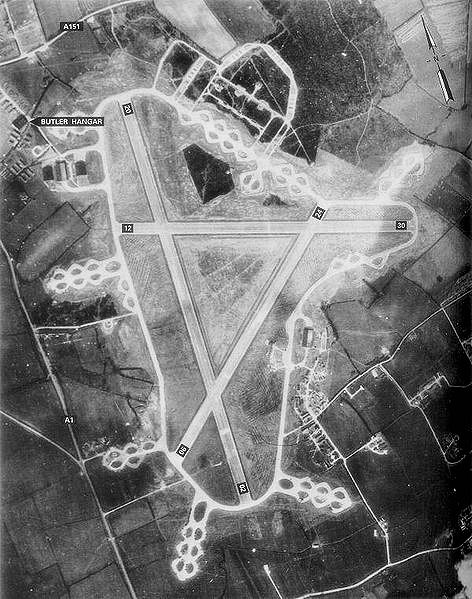
RAF North Witham
Royal Air Force North Witham or more simply RAF North Witham is a former Royal Air Force station located in Twyford Wood, off the A1 between Stamford and...

Twyford Wood
Twyford Wood, formerly known as Twyford Forest, is a commercial wood around grid reference SK948230 in Lincolnshire owned by the Forestry Commission, England...

Witham Preceptory
Withham Preceptory, one of the smallest Knights Templar preceptories in England, was founded, before 1164, at Temple Hill, near South Witham, Lincolnshire...

North Witham
North Witham is a small village and nominally a civil parish in South Kesteven, Lincolnshire, England. The village is located along the upper course of...
South Witham
South Witham is a village and civil parish in the South Kesteven district of Lincolnshire, England. The population of the civil parish at the 2011 census...
HM Prison Stocken
HM Prison Stocken is a Category C men's prison located in the parish of Stretton, in the county of Rutland, England. Stocken is operated by His Majesty...
South Witham railway station
South Witham railway station was a station in South Witham, Lincolnshire on the Midland Railway. It was Midland Railway property but train services were...
Colsterworth
Colsterworth is a village and civil parish in the South Kesteven district of Lincolnshire, England, less than half a mile (0.8 km) west of the A1, about...
Nearby Amenities
Located within 500m of 52.777918,-0.58818889Have you been to Chapel Hill?
Leave your review of Chapel Hill below (or comments, questions and feedback).