Beehive Hill

Hill, Mountain in Berkshire

England

Beehive Hill

Sheet Street Road (A332) Through Windsor Great Park.
Sheet Street Road (A332) Credit: JThomas

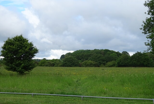
Beehive Hill is a small hill located in the county of Berkshire, England. Situated in the southern part of the county, it is part of the wider Berkshire Downs, a range of low hills and downs that stretch across the region. Rising to a height of approximately 200 meters (656 feet), Beehive Hill is not particularly tall compared to other notable peaks in the country, but it offers visitors stunning panoramic views of the surrounding countryside.

The hill gets its name from the beehives that were traditionally kept in the area, reflecting the long-standing agricultural history of the region. Today, it remains a popular destination for hikers, nature enthusiasts, and locals looking for a picturesque spot to enjoy the outdoors.

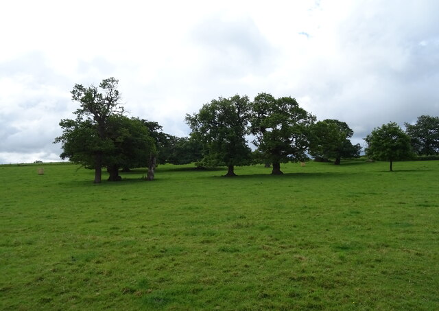
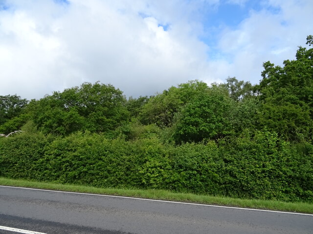
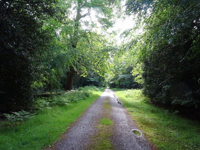
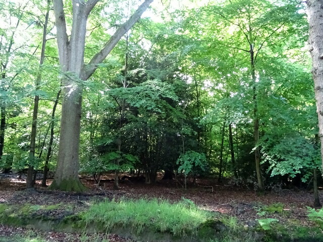
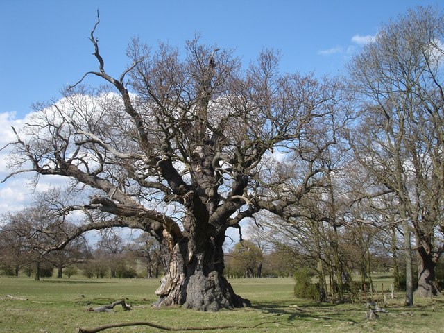
The landscape of Beehive Hill is characterized by rolling green fields, scattered woodland, and wildflower meadows. The hill is home to a diverse range of flora and fauna, including various species of birds, butterflies, and small mammals. It is not uncommon to see grazing livestock, such as sheep and cows, as well.

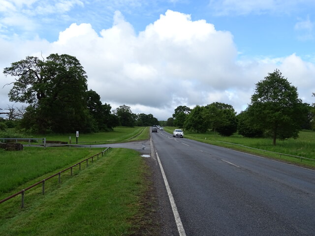
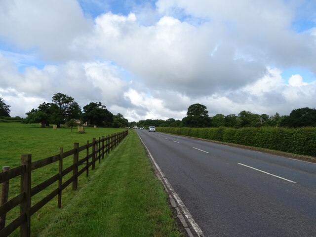
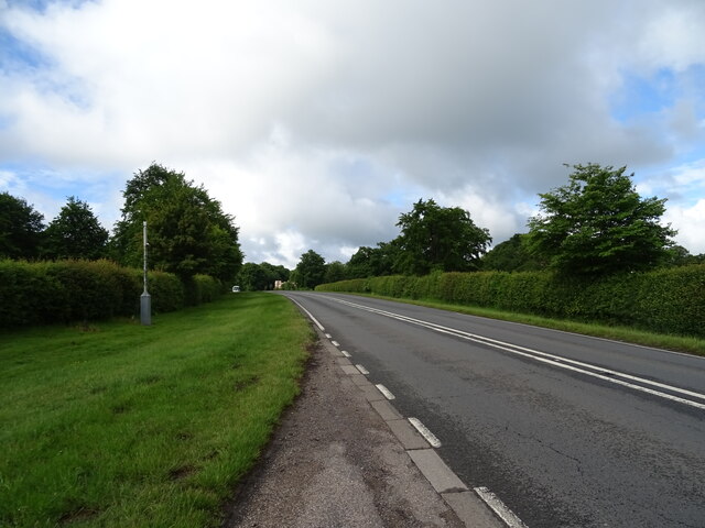
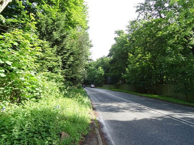
There are several walking trails that lead to the summit of Beehive Hill, offering different levels of difficulty for hikers of all abilities. These trails provide an opportunity to explore the surrounding countryside, taking in the breathtaking views and enjoying the tranquility of the area.

Overall, Beehive Hill is a charming natural landmark in Berkshire, offering visitors a chance to immerse themselves in the beauty of the English countryside and experience the peacefulness of rural life.

If you have any feedback on the listing, please let us know in the comments section below.

Beehive Hill Images

Images are sourced within 2km of 51.447942/-0.6291674 or Grid Reference SU9572. Thanks to Geograph Open Source API. All images are credited.

Sheet Street Road (A332) Through Windsor Great Park.
Sheet Street Road (A332)
Through Windsor Great Park.
Windsor Great Park
Windsor Great Park
Sheet Street Road (A332) Through Windsor Great Park.
Sheet Street Road (A332)
Through Windsor Great Park.
Windsor Great Park
Windsor Great Park
A332 through Windsor Great Park
Windsor Forest Beside the A332.
Windsor Forest
Beside the A332.
Lodge at Forest Gate
Cranbourne Gate, Windsor Great Park
Sheet Street Road (A332) Through Windsor Great Park.
Sheet Street Road (A332)
Through Windsor Great Park.
Track through Windsor Forest
Windsor Forest
Windsor Forest
B383 towards Cranbourne
Millstone Memorial in Windsor Great Park This memorial is situated on Queen Anne's Ride between Richardson's Lawn and The Village. It was quarried by hand about 1825 but not moved until 1992 when this memorial was created and the sheriff's badge carved above the hole.
Millstone Memorial in Windsor Great Park
This memorial is situated on Queen Anne's Ride between Richardson's Lawn and The Village. It was quarried by hand about 1825 but not moved until 1992 when this memorial was created and the sheriff's badge carved above the hole.
Plaque on Millstone Memorial (1) This plaque is one of two on the Millstone Memorial located on Queen Anne's 
 Ride in Windsor Great Park. It has the following wording:

                           Queen Anne's Ride

was replanted in 1992-93 to commemorate 1000 years of the office of High Sheriff
               The first of 1000 trees was planted by
 HIS ROYAL HIGHNESS THE PRINCE PHILIP, DUKE OF EDINBURGH K.G., K.T.
               Ranger of Windsor Great Park
                 on November 23rd 1992
Plaque on Millstone Memorial (1)
This plaque is one of two on the Millstone Memorial located on Queen Anne's Ride in Windsor Great Park. It has the following wording: Queen Anne's Ride was replanted in 1992-93 to commemorate 1000 years of the office of High Sheriff The first of 1000 trees was planted by HIS ROYAL HIGHNESS THE PRINCE PHILIP, DUKE OF EDINBURGH K.G., K.T. Ranger of Windsor Great Park on November 23rd 1992
Plaque on Millstone Memorial (2) This plaque is one of two on the memorial located on the Queen Anne's Ride in Windsor Great Park. It has the following wording:

This millstone was quarried by hand
on Stanage Edge, Derbyshire about 1825.
It was not moved until 1992 when this
memorial was created and the Sheriff's badge
carved by Brian Morley of Hope, Derbyshire.
Plaque on Millstone Memorial (2)
This plaque is one of two on the memorial located on the Queen Anne's Ride in Windsor Great Park. It has the following wording: This millstone was quarried by hand on Stanage Edge, Derbyshire about 1825. It was not moved until 1992 when this memorial was created and the Sheriff's badge carved by Brian Morley of Hope, Derbyshire.
Red K6 Telephone Box in The Village, Windsor Great Park This smart looking telephone box is located between 18 and 19 The Village, its postcode being SL4 2HU. However, there is no longer a payphone inside it, but books on shelves which residents can borrow and then return.
Red K6 Telephone Box in The Village, Windsor Great Park
This smart looking telephone box is located between 18 and 19 The Village, its postcode being SL4 2HU. However, there is no longer a payphone inside it, but books on shelves which residents can borrow and then return.
Inscription on the Jubilee Statue, Windsor Great Park This inscription on the south side of the Jubilee Statue has the following wording:
  
                  PRESENTED BY
         THE CROWN ESTATE COMMISSIONERS
           TO HER MAJESTY THE QUEEN
               TO COMMEMORATE
            HER GOLDEN JUBILEE 2002
Inscription on the Jubilee Statue, Windsor Great Park
This inscription on the south side of the Jubilee Statue has the following wording: PRESENTED BY THE CROWN ESTATE COMMISSIONERS TO HER MAJESTY THE QUEEN TO COMMEMORATE HER GOLDEN JUBILEE 2002
The Jubilee Statue in Windsor Great Park (1) This Jubilee Statue was erected in 2002 to commemorate the Queen's Golden Jubilee. It shows her on horseback looking on Queen Anne's Ride towards Windsor Castle in the distance. There is an inscription on the plinth, <a title="https://www.geograph.org.uk/photo/7347323" href="https://www.geograph.org.uk/photo/7347323">Link</a> refers.
The Jubilee Statue in Windsor Great Park (1)
This Jubilee Statue was erected in 2002 to commemorate the Queen's Golden Jubilee. It shows her on horseback looking on Queen Anne's Ride towards Windsor Castle in the distance. There is an inscription on the plinth, Link refers.
Show me another place!

Beehive Hill is located at Grid Ref: SU9572 (Lat: 51.447942, Lng: -0.6291674)

Unitary Authority: Windsor and Maidenhead

Police Authority: Thames Valley

What 3 Words

///monks.moss.notice. Near Old Windsor, Berkshire

Related Wikis

Windsor Forest and Great Park

Windsor Forest and Great Park is a 1,778.9-hectare (4,396-acre) biological Site of Special Scientific Interest in Berkshire and Surrey, located south of...

Windsor Great Park

Windsor Great Park is a Royal Park of 2,020 hectares (5,000 acres), including a deer park, to the south of the town of Windsor on the border of Berkshire...

Cranbourne Lodge

Cranbourne Lodge was a keeper's lodge for the royal hunting grounds of Cranbourne Chase, once adjoining but now part of Windsor Great Park in the English...

Windsor Rural District

Windsor was a rural district in Berkshire, England from 1894 to 1974. It was formed under the Local Government Act 1894 as a successor to the Windsor rural...

Nearby Amenities

Located within 500m of 51.447942,-0.6291674
Crossing
Bicycle: yes
Crossing: traffic_signals
Crossing Ref: toucan
Lat/Long: 51.4516463/-0.6289889
Rangers Lodge
Naptan AtcoCode: 036006850850
Naptan Bearing: SW
Naptan BusStopType: CUS
Naptan CommonName: Rangers Lodge
Naptan Indicator: adj
Naptan Landmark: Rangers Lodge
Naptan NaptanCode: winagwd
Naptan Street: Sheet Street Road
Naptan Verified: no
Source: naptan_import
Lat/Long: 51.4487981/-0.6335126
Rangers Lodge
Naptan AtcoCode: 036006850851
Naptan Bearing: NE
Naptan BusStopType: CUS
Naptan CommonName: Rangers Lodge
Naptan Indicator: opp
Naptan Landmark: Rangers Lodge
Naptan NaptanCode: winagwg
Naptan Street: Sheet Street Road
Naptan Verified: no
Source: naptan_import
Lat/Long: 51.4489233/-0.6334513
Waste Basket
Waste: dog_excrement
Lat/Long: 51.4519545/-0.6285692
Beehive Hill
Place: locality
Lat/Long: 51.448972/-0.626852
Board Type: board
Check Date: 2021-06-01
Information: map
Tourism: information
Lat/Long: 51.4521276/-0.6286451
Ranger's Gate
Place: locality
Lat/Long: 51.4517035/-0.6286372
Ranger's Lodge
Place: isolated_dwelling
Lat/Long: 51.4503105/-0.6294674
Russell's Field
Place: locality
Lat/Long: 51.4461014/-0.6259708
Crossing
Crossing: traffic_signals
Crossing Island: no
Lat/Long: 51.4516037/-0.6290688
Bench
Backrest: yes
Material: wood
Lat/Long: 51.4473342/-0.6223476
Direction: 290
Generator Method: photovoltaic
Generator Output Electricity: yes
Generator Solar Modules: 32
Generator Source: solar
Generator Type: solar_photovoltaic_panel
Location: roof
Power: generator
Tilt: 15
Lat/Long: 51.4457853/-0.6273976
The data included in this document is from www.openstreetmap.org. The data is made available under ODbL.

Have you been to Beehive Hill?

Leave your review of Beehive Hill below (or comments, questions and feedback).