Geodha Sgòidean
Coastal Feature, Headland, Point in Ross-shire
Scotland
Geodha Sgòidean
The requested URL returned error: 429 Too Many Requests
If you have any feedback on the listing, please let us know in the comments section below.
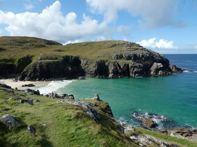
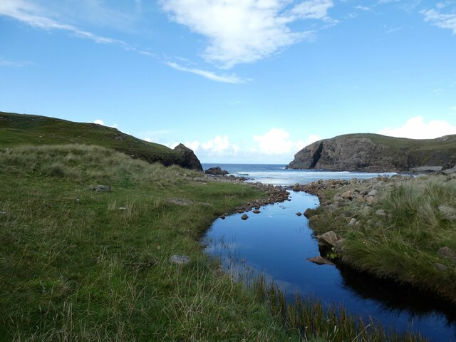
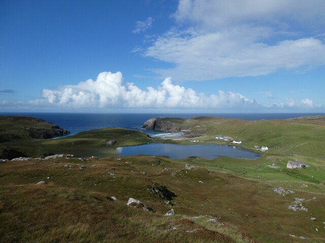
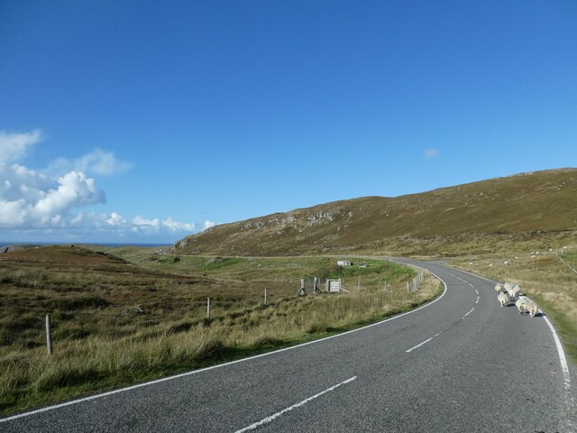
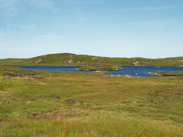
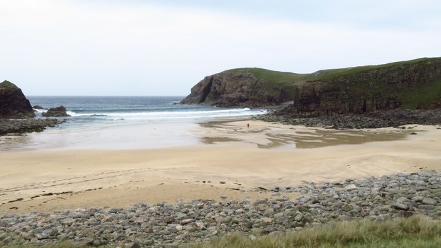
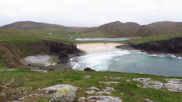
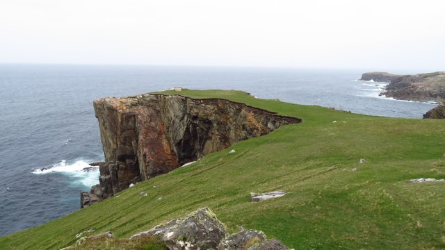
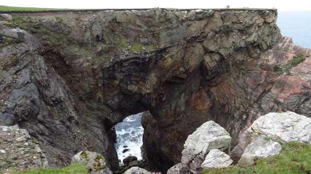
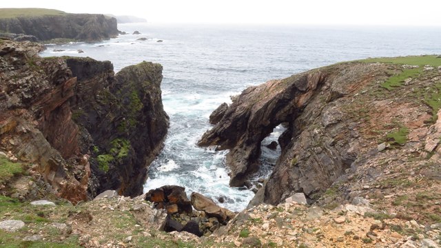
Geodha Sgòidean Images
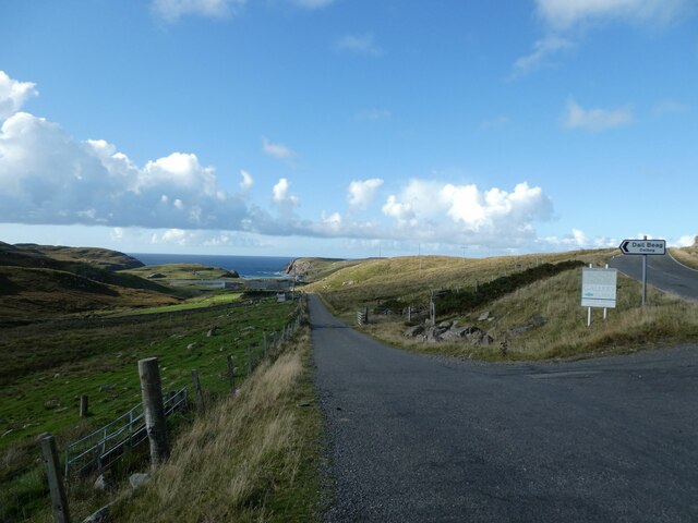
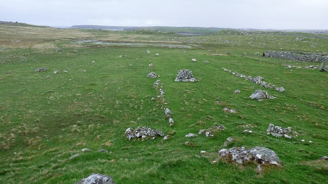
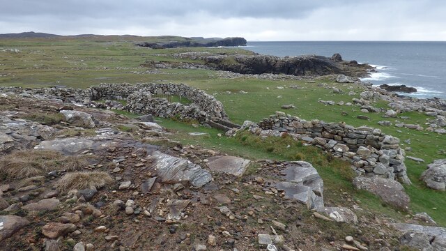
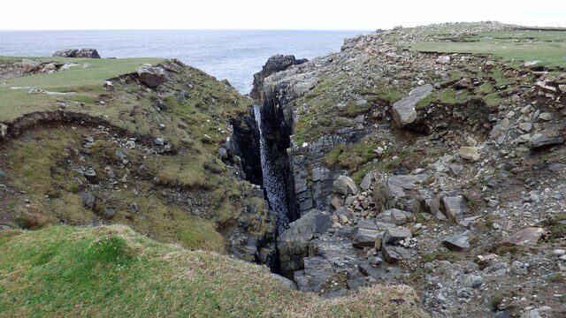
Images are sourced within 2km of 58.322534/-6.729135 or Grid Reference NB2346. Thanks to Geograph Open Source API. All images are credited.


Geodha Sgòidean is located at Grid Ref: NB2346 (Lat: 58.322534, Lng: -6.729135)
Unitary Authority: Na h-Eileanan an Iar
Police Authority: Highlands and Islands
What 3 Words
///surfer.wins.doubt. Near Carloway, Na h-Eileanan Siar
Related Wikis

Shawbost
Shawbost (Scottish Gaelic: Siabost) is a large village in the West Side of the Isle of Lewis. The village of Shawbost has a population of around 500 and...

Siadar Wave Power Station
The Siadar Wave Power Station (also known as Siadar Wave Energy Project or SWEP) was a proposed 4 MW wave farm 400 metres (1,300 ft) off the shore of Siadar...

Garenin
Garenin (Scottish Gaelic: Na Gearrannan) is a crofting township on the west coast of the Isle of Lewis in the Outer Hebrides of Scotland. Garenin is in...

Carloway
Carloway (Scottish Gaelic: Càrlabhagh [ˈkʰaːɾɫ̪ə.ɤː]) is a crofting township and a district on the west coast of the Isle of Lewis, in the Outer Hebrides...
Have you been to Geodha Sgòidean?
Leave your review of Geodha Sgòidean below (or comments, questions and feedback).