Creag a' Chait
Coastal Feature, Headland, Point in Ross-shire
Scotland
Creag a' Chait
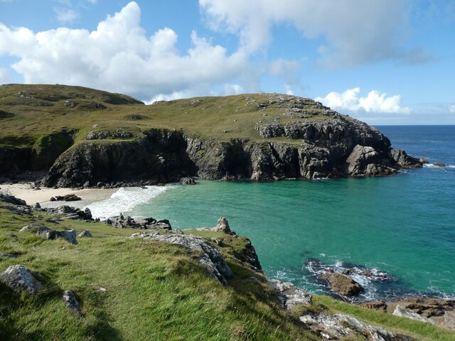
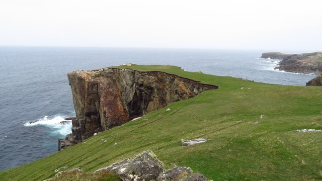
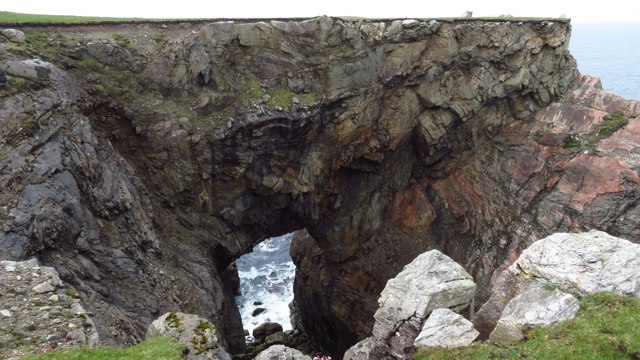
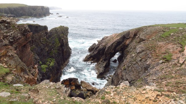
Creag a' Chait is a prominent coastal feature located in Ross-shire, Scotland. This headland, also known as "the cat's crag," is a point that juts out into the North Sea, offering breathtaking views and unique natural formations.
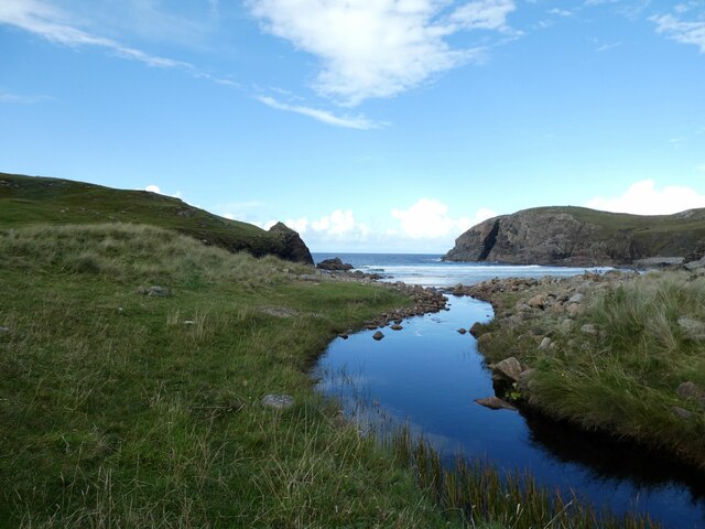
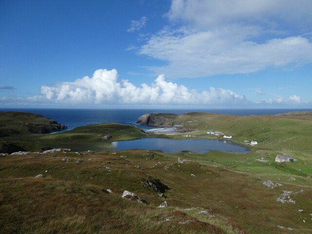
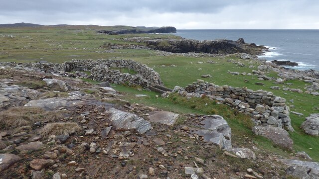
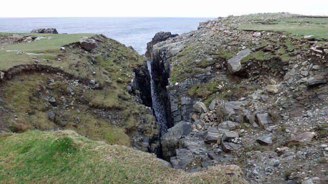
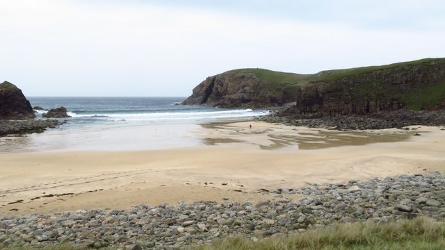
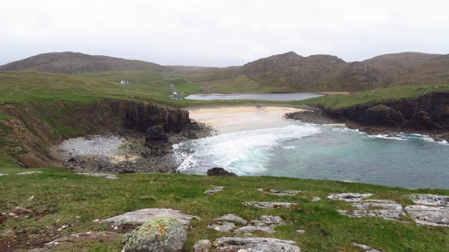
Situated on the eastern coast of Ross-shire, Creag a' Chait is characterized by its rugged cliffs and rocky terrain. The headland is composed of layers of sedimentary rocks, including sandstone and limestone, which have been shaped over time by the relentless pounding of the sea.
The cliffs at Creag a' Chait are an impressive sight, reaching heights of up to 100 feet in some areas. They provide nesting sites for seabirds such as puffins, guillemots, and razorbills, making it a popular spot for birdwatching enthusiasts.
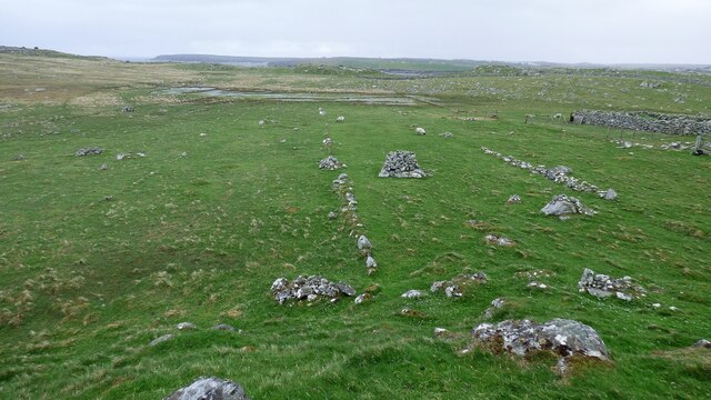
In addition to its natural beauty, Creag a' Chait also holds historical significance. The headland is home to the ruins of an ancient fort, believed to date back to the Iron Age. These remnants serve as a reminder of the area's rich cultural heritage and provide a glimpse into the lives of the people who once inhabited this coastal region.
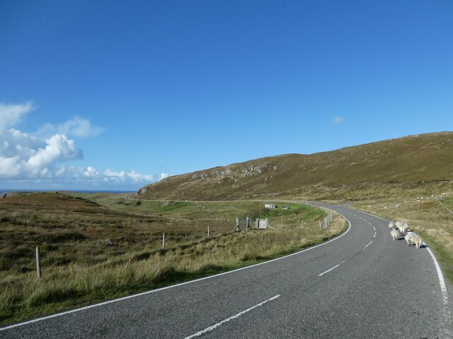
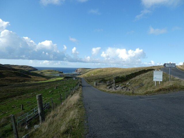
Access to Creag a' Chait is relatively easy, with a well-maintained footpath leading visitors along the cliff edge. The path offers stunning views of the surrounding coastline and provides opportunities for photography and exploration. However, caution is advised as the cliffs can be dangerous, and it is important to stay on designated paths and adhere to any safety signage.
Overall, Creag a' Chait is a captivating coastal feature that combines natural beauty, wildlife, and historical significance. Its dramatic cliffs, diverse birdlife, and ancient ruins make it a must-visit destination for nature enthusiasts and history buffs alike.
If you have any feedback on the listing, please let us know in the comments section below.
Creag a' Chait Images
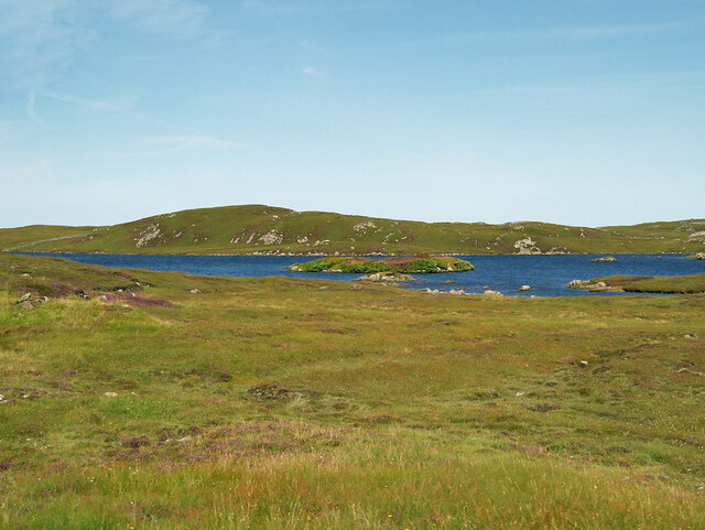
Images are sourced within 2km of 58.320562/-6.7235884 or Grid Reference NB2346. Thanks to Geograph Open Source API. All images are credited.


Creag a' Chait is located at Grid Ref: NB2346 (Lat: 58.320562, Lng: -6.7235884)
Unitary Authority: Na h-Eileanan an Iar
Police Authority: Highlands and Islands
What 3 Words
///admits.install.bead. Near Carloway, Na h-Eileanan Siar
Related Wikis

Shawbost
Shawbost (Scottish Gaelic: Siabost) is a large village in the West Side of the Isle of Lewis. The village of Shawbost has a population of around 500 and...

Siadar Wave Power Station
The Siadar Wave Power Station (also known as Siadar Wave Energy Project or SWEP) was a proposed 4 MW wave farm 400 metres (1,300 ft) off the shore of Siadar...

Garenin
Garenin (Scottish Gaelic: Na Gearrannan) is a crofting township on the west coast of the Isle of Lewis in the Outer Hebrides of Scotland. Garenin is in...

Carloway
Carloway (Scottish Gaelic: Càrlabhagh [ˈkʰaːɾɫ̪ə.ɤː]) is a crofting township and a district on the west coast of the Isle of Lewis, in the Outer Hebrides...
Have you been to Creag a' Chait?
Leave your review of Creag a' Chait below (or comments, questions and feedback).