Leac Eascadail

Coastal Feature, Headland, Point in Inverness-shire

Scotland

Leac Eascadail

Slipway and harbour, Carnach Photographed from a walkway above the slipway. 
Part of the road bridge between Scalpay and Harris visible on the left.
Slipway and harbour, Carnach Credit: Richard Dorrell

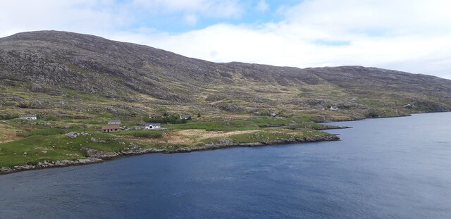
Leac Eascadail, located in Inverness-shire, Scotland, is a prominent coastal feature known for its stunning headland and picturesque views. Situated on the rugged west coast of Scotland, Leac Eascadail stands proudly overlooking the North Atlantic Ocean.

This headland is characterized by its rugged cliffs and rocky shoreline, which provide a dramatic backdrop to the surrounding landscape. The name "Leac Eascadail" is derived from Gaelic and translates to "cliff of the waterfall," further emphasizing the natural beauty found in this area.

Visitors to Leac Eascadail can expect to be greeted with breathtaking vistas of the ocean, as well as the opportunity to observe various seabirds that inhabit the cliffs. The headland is also home to several species of marine life, making it a popular spot for wildlife enthusiasts and nature lovers.

Access to Leac Eascadail is possible via a well-maintained footpath that winds its way along the coastline. This path offers visitors the chance to explore the headland at their own pace, taking in the stunning views and immersing themselves in the peaceful surroundings.

Due to its exposed location, Leac Eascadail can experience strong winds and rough seas, adding to its wild and untamed allure. It is advisable for visitors to come well-prepared with appropriate clothing and footwear.

In summary, Leac Eascadail is a captivating coastal feature in Inverness-shire, renowned for its rugged cliffs, stunning views, and abundant wildlife. Whether it's for a peaceful stroll or an opportunity to connect with nature, this headland offers a truly unforgettable experience for all who visit.

If you have any feedback on the listing, please let us know in the comments section below.

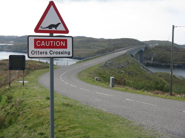
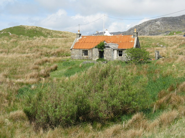
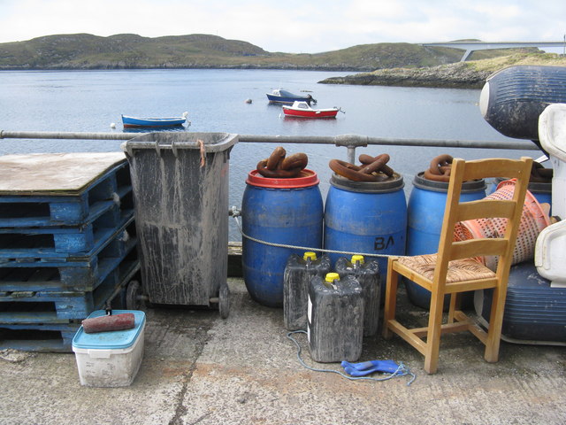
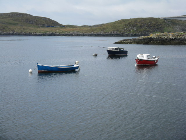
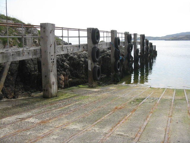
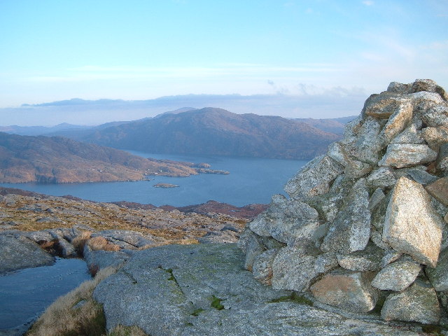
Leac Eascadail Images

Images are sourced within 2km of 57.893992/-6.6726729 or Grid Reference NG2398. Thanks to Geograph Open Source API. All images are credited.

Slipway and harbour, Carnach Photographed from a walkway above the slipway. 
Part of the road bridge between Scalpay and Harris visible on the left.
Slipway and harbour, Carnach
Photographed from a walkway above the slipway. Part of the road bridge between Scalpay and Harris visible on the left.
Carnach and Sàil a' Charnain View from Scalpay Bridge.
Carnach and Sàil a' Charnain
View from Scalpay Bridge.
Approach to Scalpay road bridge My luck was out (again!) regarding the otters - see <a href="https://www.geograph.org.uk/photo/4241872">NF7813 : Otter crossing warning on the Eriskay causeway</a>.
Approach to Scalpay road bridge
My luck was out (again!) regarding the otters - see NF7813 : Otter crossing warning on the Eriskay causeway.
Scalpay Bridge/Drochaid Scalpaigh Looking south across the bridge, with otter warning.
Scalpay Bridge/Drochaid Scalpaigh
Looking south across the bridge, with otter warning.
Abandoned house At the northern end of the Scalpay Bridge/Drochaid Scalpaigh.
Abandoned house
At the northern end of the Scalpay Bridge/Drochaid Scalpaigh.
Tidy pier near Carnach Assorted 'stuff' neatly stowed on the pier. Overlooking Caolas Scalpaigh, with Scalpay/Scalpaigh and the southern pier of the bridge beyond.
Tidy pier near Carnach
Assorted 'stuff' neatly stowed on the pier. Overlooking Caolas Scalpaigh, with Scalpay/Scalpaigh and the southern pier of the bridge beyond.
Rocks on moorland below Leac Easgadail, Harris Looking towards the Shiant Islands.
Rocks on moorland below Leac Easgadail, Harris
Looking towards the Shiant Islands.
The Abhainn a' Ghlinne, Harris
Shielings by the Abhainn a' Ghlinne, Harris There are a number of remains in the area including shielings, a possible burial cairn and cellular buildings.  See <span class="nowrap"><a title="https://canmore.org.uk/site/91822/harris-abhainn-a-ghlinne" rel="nofollow ugc noopener" href="https://canmore.org.uk/site/91822/harris-abhainn-a-ghlinne">Link</a><img style="margin-left:2px;" alt="External link" title="External link - shift click to open in new window" src="https://s1.geograph.org.uk/img/external.png" width="10" height="10"/></span> for further information.
Shielings by the Abhainn a' Ghlinne, Harris
There are a number of remains in the area including shielings, a possible burial cairn and cellular buildings. See LinkExternal link for further information.
Caolas Scalpaigh, from the old ferry slipway The ferry was replaced by the bridge, visible in the distance.
Caolas Scalpaigh, from the old ferry slipway
The ferry was replaced by the bridge, visible in the distance.
Anchor at Carnach On the old ferry slipway.
Anchor at Carnach
On the old ferry slipway.
Moored fishing boats at Carnach With Scalpay/Scalpaigh and the bridge from Harris beyond.
Moored fishing boats at Carnach
With Scalpay/Scalpaigh and the bridge from Harris beyond.
The Scalpay ferry ramp at Carnach The Harris-Scalpay ferry has now been replaced by the bridge <a href="https://www.geograph.org.uk/photo/564358">NG2197 : Scalpay bridge</a>.
The Scalpay ferry ramp at Carnach
The Harris-Scalpay ferry has now been replaced by the bridge NG2197 : Scalpay bridge.
Todun from out in Loch Trollmaraig Taken from a sea kayak on the way across to Mollingnish
Todun from out in Loch Trollmaraig
Taken from a sea kayak on the way across to Mollingnish
Rhenigidale from the summit of Uiseabhal A picture taken looking north north east from the top of Uiseabhal.
Rhenigidale from the summit of Uiseabhal
A picture taken looking north north east from the top of Uiseabhal.
Scalpaigh ferry slipway The slipway on the Harris side of Caolas Scalpaigh, redundant since the opening of the bridge in 1997.
Scalpaigh ferry slipway
The slipway on the Harris side of Caolas Scalpaigh, redundant since the opening of the bridge in 1997.
Rubha Crago
Rubha Crago
Kyles Scalpay slipway The slipway <a href="https://www.geograph.org.uk/photo/396265">NG2297 : Scalpaigh ferry slipway</a> is no longer used, as the ferry to Scalpay has been replaced by the bridge which opened in 1997.
Kyles Scalpay slipway
The slipway NG2297 : Scalpaigh ferry slipway is no longer used, as the ferry to Scalpay has been replaced by the bridge which opened in 1997.
Show me another place!

Leac Eascadail is located at Grid Ref: NG2398 (Lat: 57.893992, Lng: -6.6726729)

Unitary Authority: Na h-Eileanan an Iar

Police Authority: Highlands and Islands

What 3 Words

///eruptions.eased.responses. Near Tarbert, Na h-Eileanan Siar

Related Wikis

Rèinigeadal

Rèinigeadal (or Rhenigidale) is a small settlement in Harris, in the Western Isles in Scotland. It is situated on the east coast of Harris 8 kilometres...

Scalpay, Outer Hebrides

Scalpay (; Scottish Gaelic: Sgalpaigh or Sgalpaigh na Hearadh; i.e. "Scalpay of Harris" to distinguish it from Scalpay off Skye) is an island in the Outer...

Eilean Glas, Scalpay

Eilean Glas is a peninsula of Scalpay in the Outer Hebrides, Scotland. Eilean Glas is home to a historic lighthouse. Eilean Glas means Grey/Green Island...

Eilean Glas Lighthouse

Eilean Glas Lighthouse is situated on the east coast of the island of Scalpay in the Outer Hebrides of Scotland. It was one of the original four lights...

Nearby Amenities

Located within 500m of 57.893992,-6.6726729
Rubha na Moine
Natural: cape
Lat/Long: 57.8956431/-6.6706238
The data included in this document is from www.openstreetmap.org. The data is made available under ODbL.

Have you been to Leac Eascadail?

Leave your review of Leac Eascadail below (or comments, questions and feedback).