Rubha Àrd
Coastal Feature, Headland, Point in Argyllshire
Scotland
Rubha Àrd
Rubha Àrd is a prominent headland located in Argyllshire, Scotland. Situated on the west coast of the country, it is surrounded by the vast waters of the North Atlantic Ocean. The headland is known for its stunning natural beauty and rugged coastal landscape, making it a popular destination for nature enthusiasts and outdoor adventurers.
At Rubha Àrd, visitors are greeted with magnificent cliffs that rise dramatically from the sea, offering breathtaking panoramic views of the surrounding area. The headland is characterized by its rocky terrain, with large boulders and craggy outcrops scattered along the coastline. This rugged landscape provides a habitat for a diverse range of marine and bird species, making it an important site for wildlife conservation.
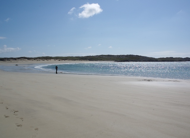
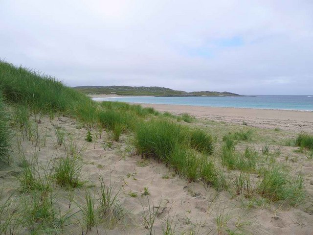
The headland also features a small sandy beach tucked away in a secluded cove, providing a tranquil spot for relaxation and picnicking. The beach is accessible via a narrow path that winds its way through the headland's rocky terrain.
In addition to its natural beauty, Rubha Àrd is steeped in history. The headland is home to the ruins of an ancient fort, believed to have been built during the Iron Age. These archaeological remains offer a glimpse into the area's rich historical past and provide an opportunity for visitors to explore and learn about the ancient inhabitants of the region.
Overall, Rubha Àrd is a captivating coastal feature that combines stunning natural landscapes, diverse wildlife, and historical significance. It is a must-visit destination for those seeking to immerse themselves in the beauty and history of Argyllshire.
If you have any feedback on the listing, please let us know in the comments section below.
Rubha Àrd Images
Images are sourced within 2km of 56.649552/-6.5856589 or Grid Reference NM1960. Thanks to Geograph Open Source API. All images are credited.


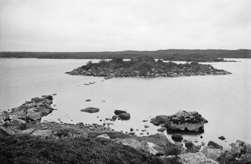
![Shore north-east of Cliad Bay, Coll Looking north-east at one of the rockier stretches of Coll's north coast. The high ground to the right in the distance - and out of map square - is A Chroic.
[scanned photo]](https://s0.geograph.org.uk/photos/70/65/706560_b4560733.jpg)


Rubha Àrd is located at Grid Ref: NM1960 (Lat: 56.649552, Lng: -6.5856589)
Unitary Authority: Argyll and Bute
Police Authority: Argyll and West Dunbartonshire
What 3 Words
///eventful.gurgled.serves. Near Arinagour, Argyll & Bute
Nearby Locations
Related Wikis

Dùn Dubh
Dùn Dubh is a hillfort, located on the Inner Hebridean island of Coll. The fort is one of three associated with a local tradition which states that they...

Coll
Coll (; Scottish Gaelic: Cola; Scots: Coll) is an island located west of the Isle of Mull in the Inner Hebrides of Scotland. Coll is known for its sandy...

An Caisteal (Coll)
An Caisteal (English: The Castle) is a hill fort located on the island of Coll. This island is one of the islands which make up the Inner Hebrides located...
Dùn Anlaimh
Dùn Anlaimh, also known as Dùn Amhlaidh, and Eilean nan Cinneachan, is a crannog (an artificial island), located within Loch nan Cinneachan on the Inner...
Nearby Amenities
Located within 500m of 56.649552,-6.5856589Have you been to Rubha Àrd?
Leave your review of Rubha Àrd below (or comments, questions and feedback).