Rèidh a' Bhuirg
Coastal Feature, Headland, Point in Argyllshire
Scotland
Rèidh a' Bhuirg
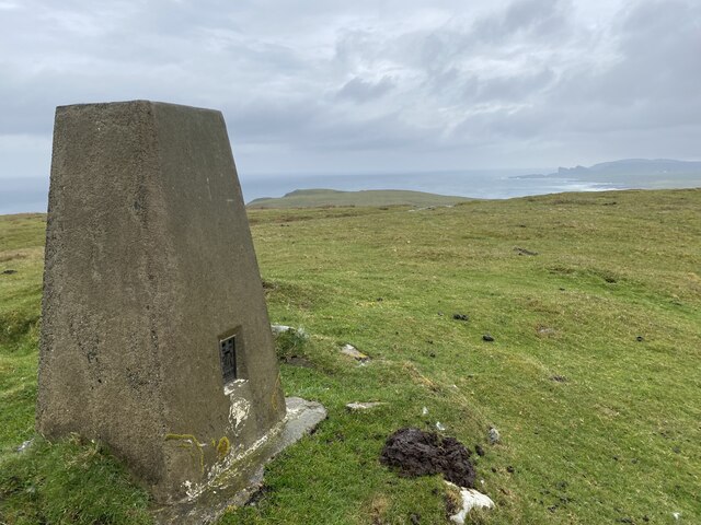
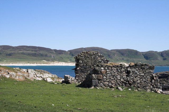
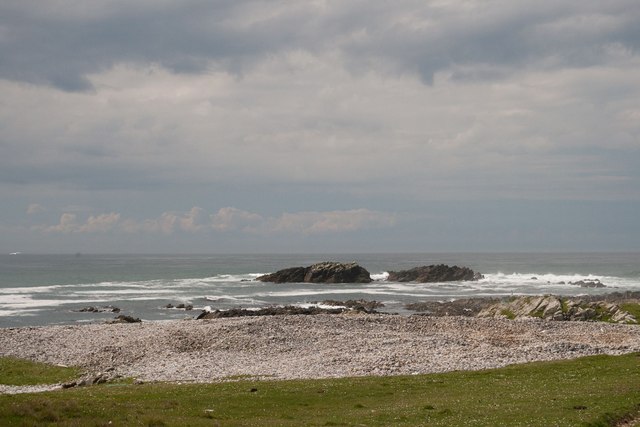
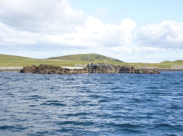
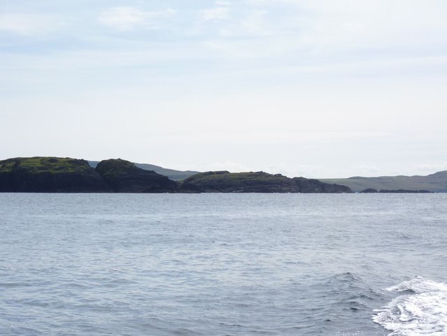
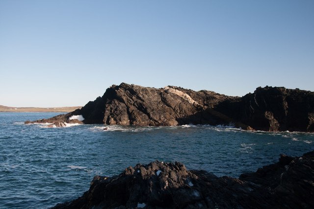
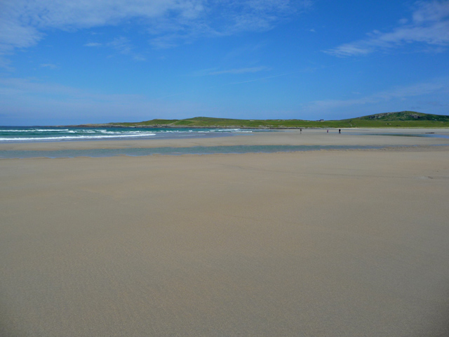
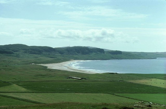
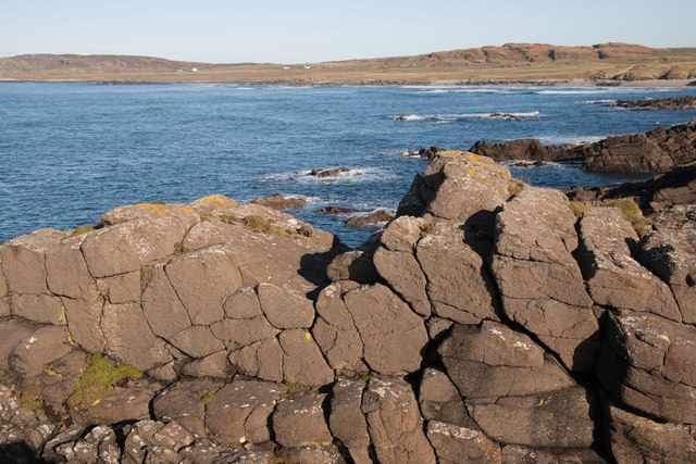
Rèidh a' Bhuirg is a prominent headland located in Argyllshire, Scotland. Situated on the west coast of the country, it is known for its stunning coastal landscape and rugged beauty. The name "Rèidh a' Bhuirg" translates to "smooth of the fort" in English, indicating its historical significance.
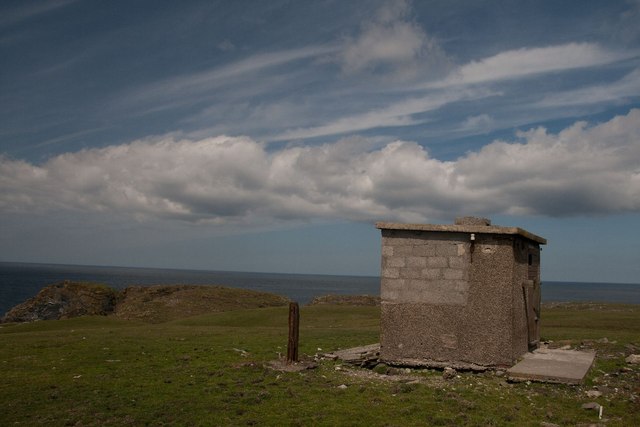
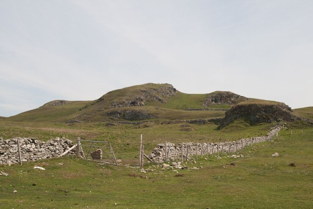
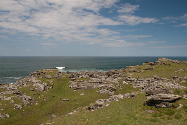
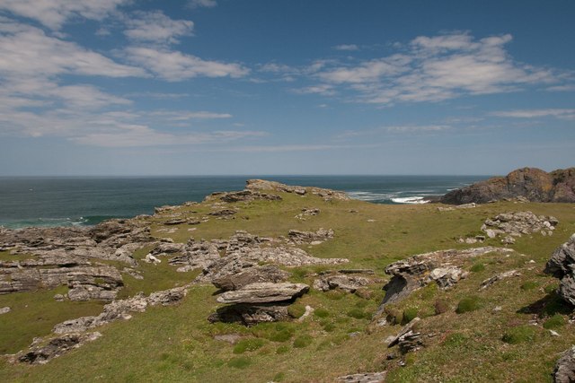
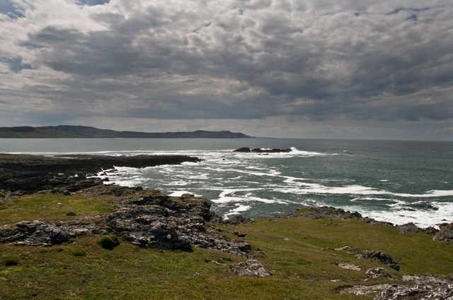
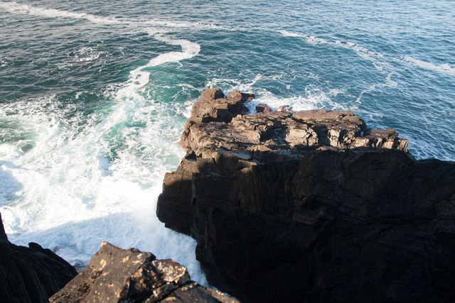
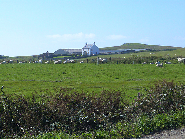
This headland is characterized by its steep cliffs that rise dramatically from the sea, offering breathtaking panoramic views of the surrounding area. The rugged terrain is composed of ancient rocks and is home to a diverse range of flora and fauna, making it an important site for nature enthusiasts and ecologists.
The headland also features a picturesque lighthouse, which has served as a navigational aid for ships since the 19th century. This lighthouse is perched on a rocky outcrop, providing a striking contrast against the backdrop of the open sea.
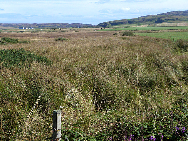
Rèidh a' Bhuirg is a popular destination for outdoor activities such as hiking and birdwatching. There are several well-marked trails that allow visitors to explore the headland and its surrounding areas, providing ample opportunities to observe the local wildlife and enjoy the stunning coastal scenery.
The headland's location on the west coast of Scotland also makes it an ideal spot for witnessing breathtaking sunsets over the sea. Visitors can often be found admiring the stunning hues of orange, pink, and purple as the sun dips below the horizon, creating a truly magical experience.
In conclusion, Rèidh a' Bhuirg is a captivating headland in Argyllshire, Scotland, known for its rugged beauty, diverse wildlife, and stunning coastal views. It offers a unique and memorable experience for nature lovers and outdoor enthusiasts alike.
If you have any feedback on the listing, please let us know in the comments section below.
Rèidh a' Bhuirg Images
Images are sourced within 2km of 55.795593/-6.4849133 or Grid Reference NR1964. Thanks to Geograph Open Source API. All images are credited.

Rèidh a' Bhuirg is located at Grid Ref: NR1964 (Lat: 55.795593, Lng: -6.4849133)
Unitary Authority: Argyll and Bute
Police Authority: Argyll and West Dunbartonshire
What 3 Words
///summer.chosen.mush. Near Port Charlotte, Argyll & Bute
Nearby Locations
Related Wikis

HMS Graph
HMS Graph (pennant number P715) was a German Type VIIC U-boat that the British Royal Navy captured during World War II. Commissioned as U-570 in Nazi Germany...

Kilchoman
Kilchoman ( kil-(K)HOM-ən; Scottish Gaelic: Cill Chomain [kʲʰiːʎ ˈxɔmɛɲ]) is a small settlement and large parish on the Scottish island of Islay, within...

Kilchoman distillery
Kilchoman distillery (pronounced Kil-ho-man) is a distillery that produces single malt Scotch whisky on Islay, an island of the Inner Hebrides. Kilchoman...

RAF Kilchiaran
RAF Kilchiaran was a Royal Air Force radar station situated on the Isle of Islay in Scotland. It was originally active from 1940-1945. In 1954 the base...

Loch Gorm Castle
Loch Gorm Castle is a ruined castle located on Eilean Mòr (big island) on Loch Gorm, Islay, Scotland. It was once a stronghold of Clan Macdonald. The castle...

Rinns of Islay
The Rinns of Islay (Scottish Gaelic: Na Roinn Ìleach; alternative English spelling Rhinns of Islay) is an area on the west of the island of Islay in the...
Bruichladdich distillery
Bruichladdich distillery ( bruukh-LAD-ee; Scottish Gaelic: [pɾuə'xl̪ˠat̪ɪç]) is a distillery on the Rhinns of the isle of Islay in Scotland. The distillery...

Battle of Traigh Ghruinneart
The Battle of Traigh Ghruinneart or in Scottish Gaelic Blàr Tràigh Ghruineart or sometimes called the Battle of Gruinart Strand was a Scottish clan battle...
Have you been to Rèidh a' Bhuirg?
Leave your review of Rèidh a' Bhuirg below (or comments, questions and feedback).