Am Bùrg
Coastal Feature, Headland, Point in Argyllshire
Scotland
Am Bùrg
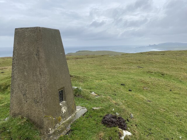
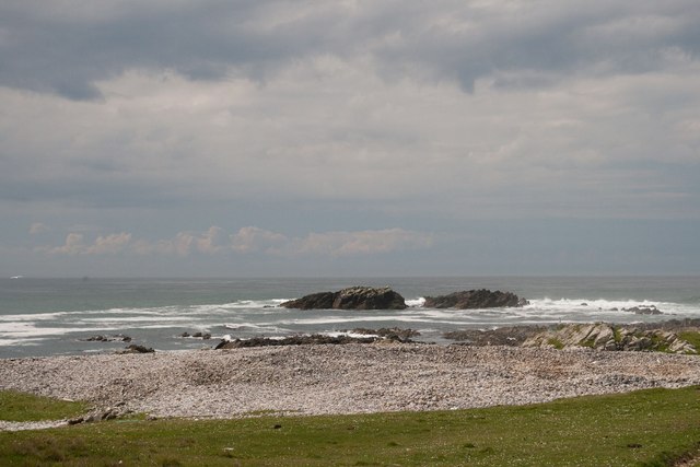
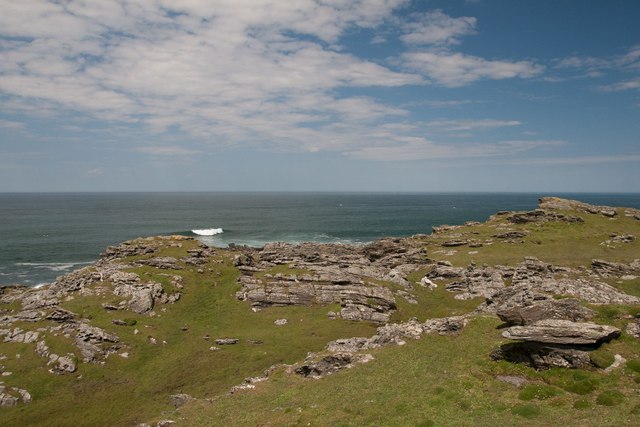
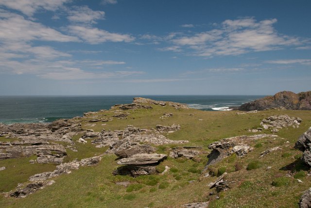
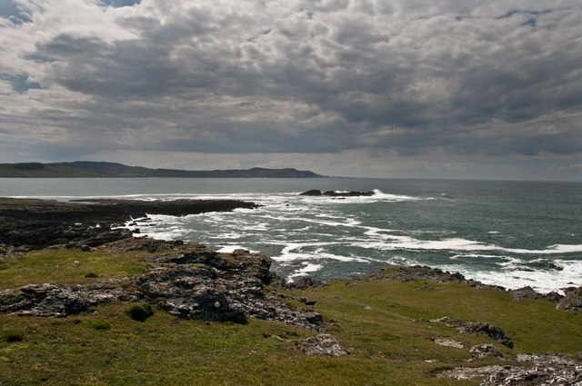
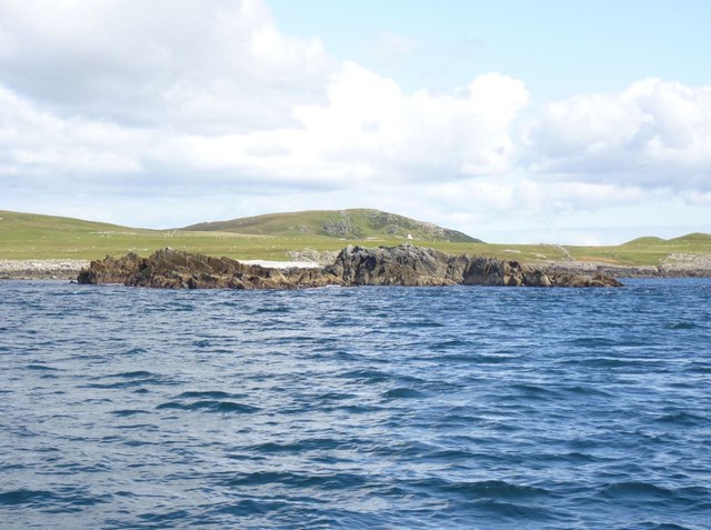
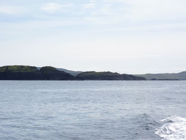
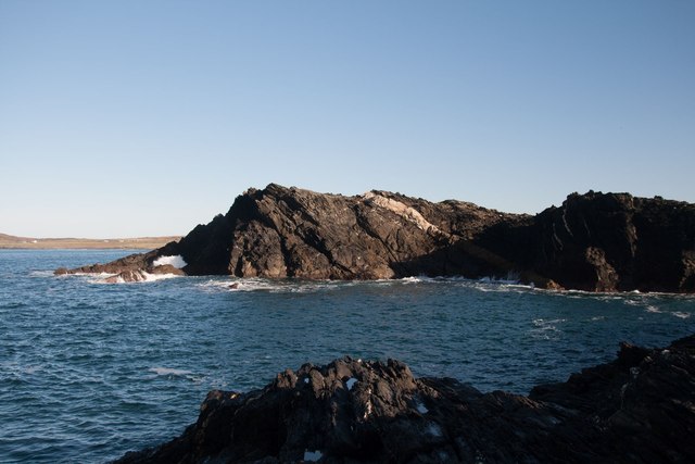
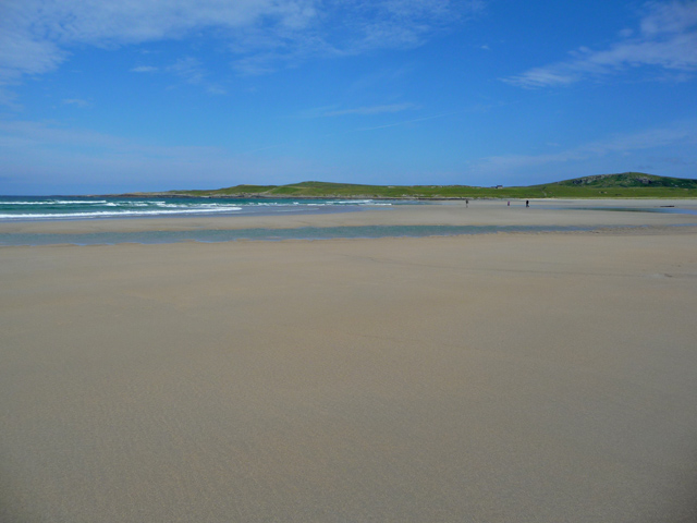
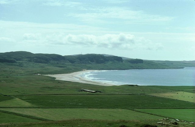
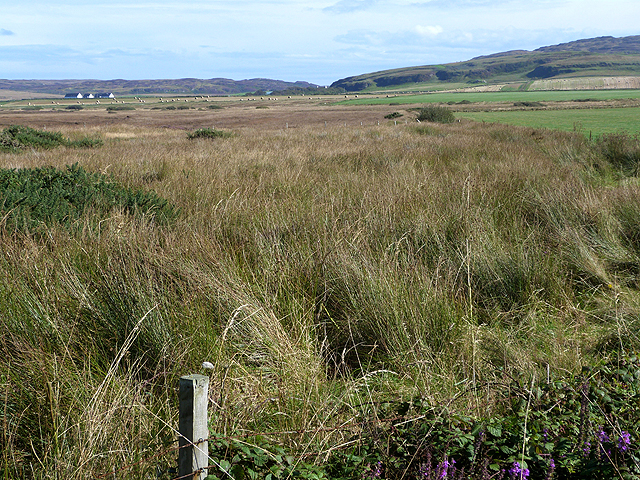
Am Bùrg is a prominent headland located in Argyllshire, on the western coast of Scotland. It is situated along the stunning and rugged coastline of the region, offering breathtaking views of the surrounding landscape and the vast Atlantic Ocean. As a coastal feature, Am Bùrg stands out due to its distinctive shape and geological composition.
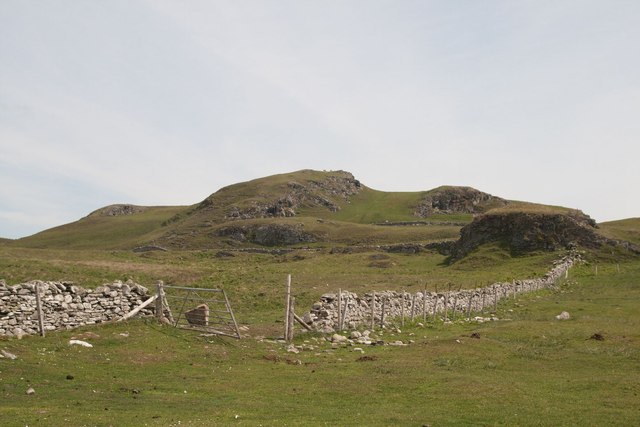
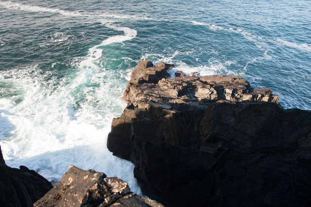
The headland is characterized by its sheer cliffs that rise dramatically from the sea, reaching heights of around 100 meters. These cliffs are composed of ancient sedimentary rock formations, displaying layers of sandstone and limestone that have been shaped by millions of years of erosion by wind and waves.
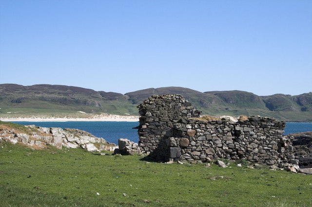
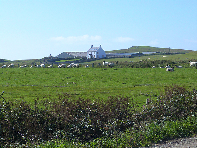
The rugged terrain of Am Bùrg provides a habitat for a diverse range of flora and fauna. The headland is covered in lush vegetation, including grasses, heather, and wildflowers, which create a vibrant and colorful landscape. The area is also home to various bird species, such as gulls and puffins, which nest in the cliffs during the breeding season.
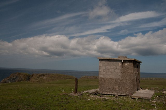
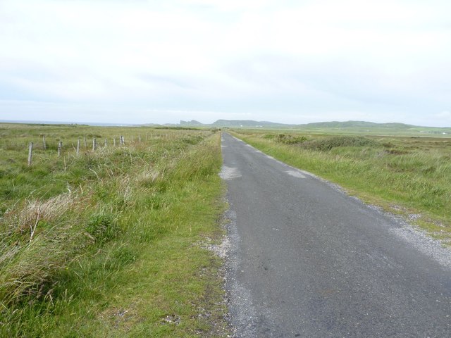
Due to its unique geographical location, Am Bùrg offers visitors unparalleled panoramic views of the surrounding coastline and the open sea. The headland is a popular destination for hikers and nature enthusiasts who come to explore the area's walking trails and enjoy the natural beauty of the Scottish coastline.
Overall, Am Bùrg is a striking coastal feature that showcases the raw beauty of Argyllshire's natural landscape. Its towering cliffs, diverse wildlife, and breathtaking views make it a must-visit destination for those seeking an authentic Scottish coastal experience.
If you have any feedback on the listing, please let us know in the comments section below.
Am Bùrg Images
Images are sourced within 2km of 55.795885/-6.4828392 or Grid Reference NR1964. Thanks to Geograph Open Source API. All images are credited.

Am Bùrg is located at Grid Ref: NR1964 (Lat: 55.795885, Lng: -6.4828392)
Unitary Authority: Argyll and Bute
Police Authority: Argyll and West Dunbartonshire
What 3 Words
///grew.distract.meanders. Near Port Charlotte, Argyll & Bute
Nearby Locations
Related Wikis

HMS Graph
HMS Graph (pennant number P715) was a German Type VIIC U-boat that the British Royal Navy captured during World War II. Commissioned as U-570 in Nazi Germany...

Kilchoman
Kilchoman ( kil-(K)HOM-ən; Scottish Gaelic: Cill Chomain [kʲʰiːʎ ˈxɔmɛɲ]) is a small settlement and large parish on the Scottish island of Islay, within...

Kilchoman distillery
Kilchoman distillery (pronounced Kil-ho-man) is a distillery that produces single malt Scotch whisky on Islay, an island of the Inner Hebrides. Kilchoman...

RAF Kilchiaran
RAF Kilchiaran was a Royal Air Force radar station situated on the Isle of Islay in Scotland. It was originally active from 1940-1945. In 1954 the base...

Loch Gorm Castle
Loch Gorm Castle is a ruined castle located on Eilean Mòr (big island) on Loch Gorm, Islay, Scotland. It was once a stronghold of Clan Macdonald. The castle...

Rinns of Islay
The Rinns of Islay (Scottish Gaelic: Na Roinn Ìleach; alternative English spelling Rhinns of Islay) is an area on the west of the island of Islay in the...
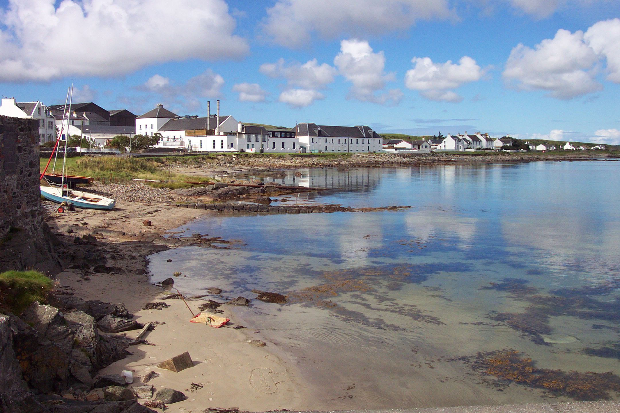
Bruichladdich distillery
Bruichladdich distillery ( bruukh-LAD-ee; Scottish Gaelic: [pɾuə'xl̪ˠat̪ɪç]) is a distillery on the Rhinns of the isle of Islay in Scotland. The distillery...

Battle of Traigh Ghruinneart
The Battle of Traigh Ghruinneart or in Scottish Gaelic Blàr Tràigh Ghruineart or sometimes called the Battle of Gruinart Strand was a Scottish clan battle...
Have you been to Am Bùrg?
Leave your review of Am Bùrg below (or comments, questions and feedback).