Àird Beag Lundale

Coastal Feature, Headland, Point in Ross-shire

Scotland

Àird Beag Lundale

Telephone Box at Crulabhig Probably it's only the sheep that get calls here?
Telephone Box at Crulabhig Credit: Jo and Steve Turner

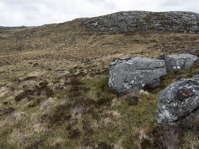
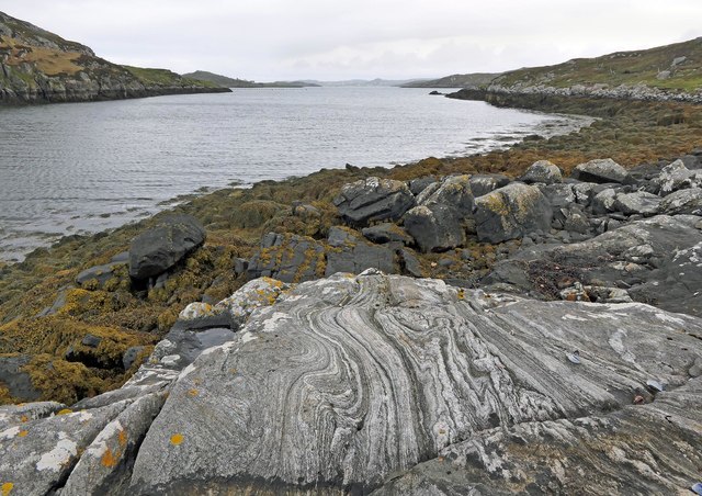
Àird Beag Lundale is a captivating coastal feature located in Ross-shire, Scotland. This stunning headland is situated on the eastern coast of the picturesque Lundale Peninsula. With its rugged cliffs and panoramic views, Àird Beag Lundale offers a breathtaking sight for nature enthusiasts and visitors alike.

This coastal headland is characterized by its towering cliffs that reach heights of up to 100 meters, providing an awe-inspiring spectacle. The rugged landscape is adorned with lush greenery, adding to the picturesque beauty of the area. The headland is formed by the constant erosion of the surrounding rock formations by the relentless waves of the North Sea.

The point is a popular spot for birdwatchers, as it provides an ideal vantage point for observing a variety of seabirds in their natural habitat. Visitors can spot species such as puffins, razorbills, and gannets, which nest on the cliffs or soar above the waves. The surrounding waters are also home to seals, dolphins, and occasional sightings of whales.

Àird Beag Lundale is a haven for hikers and adventurers, with a network of coastal paths and trails that wind their way along the cliffs, offering breathtaking vistas of the rugged coastline and shimmering sea. The headland is easily accessible, with a well-maintained car park and designated viewing points for visitors to enjoy the scenic beauty in safety.

In conclusion, Àird Beag Lundale is a captivating coastal headland in Ross-shire, Scotland. With its towering cliffs, rich biodiversity, and stunning vistas, it offers a mesmerizing experience for those seeking a connection with nature and a desire to explore the rugged beauty of the Scottish coastline.

If you have any feedback on the listing, please let us know in the comments section below.

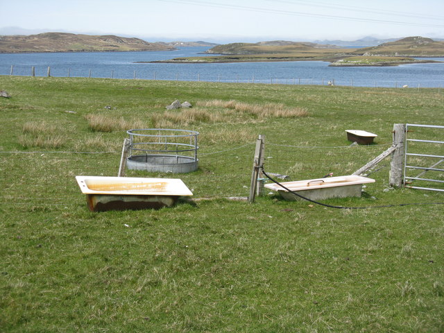
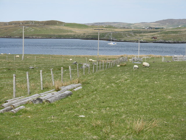
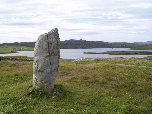
Àird Beag Lundale Images

Images are sourced within 2km of 58.192395/-6.7830177 or Grid Reference NB1932. Thanks to Geograph Open Source API. All images are credited.

Telephone Box at Crulabhig Probably it's only the sheep that get calls here?
Telephone Box at Crulabhig
Probably it's only the sheep that get calls here?
Crulivig: the telephone box Pictured during heavy rain, this phone box has Hebridean doors, to keep the wind at bay.
Crulivig: the telephone box
Pictured during heavy rain, this phone box has Hebridean doors, to keep the wind at bay.
Crulivig: postbox № HS2 91 This postbox stands on the opposite side of the road to <a href="https://www.geograph.org.uk/photo/3286743">NB1733 : Crulivig: the telephone box</a>. It is emptied each morning except Sunday at a quarter to nine.
Crulivig: postbox № HS2 91
This postbox stands on the opposite side of the road to NB1733 : Crulivig: the telephone box. It is emptied each morning except Sunday at a quarter to nine.
Boggy and rocky Often in this type of country, getting up onto a bit of high ground reveals a lochan or just a little pool to add a bit of interest. Not here. The high ground is on the lower slopes of Beinn Sgarastaigh, but with a summit height of 98 m, and difficult navigation through peat hags, no one is likely to get excited about it.
Boggy and rocky
Often in this type of country, getting up onto a bit of high ground reveals a lochan or just a little pool to add a bit of interest. Not here. The high ground is on the lower slopes of Beinn Sgarastaigh, but with a summit height of 98 m, and difficult navigation through peat hags, no one is likely to get excited about it.
Abandoned croft house near Lundal
Low cloud over Great Bernera A thin bank of cloud over the sea. Looking northeast from the B8059 near Lundale.
Low cloud over Great Bernera
A thin bank of cloud over the sea. Looking northeast from the B8059 near Lundale.
Rough pasture near Lundale Looking east towards Callanish, across Loch Ròg.
Rough pasture near Lundale
Looking east towards Callanish, across Loch Ròg.
Beinn Scarastaigh from near Lundale A large rocky hill about 1km to the southeast,
Beinn Scarastaigh from near Lundale
A large rocky hill about 1km to the southeast,
Tòb Lundale, Isle of Lewis Tòb Lundale is an inlet on Loch Ròg.  Tòb is a Gaelic word for bay or cove.
Tòb Lundale, Isle of Lewis
Tòb Lundale is an inlet on Loch Ròg. Tòb is a Gaelic word for bay or cove.
Building remains, Lundal, Isle of Lewis Looking towards the head of Tòb Lundale, an inlet on Loch Ròg.
Building remains, Lundal, Isle of Lewis
Looking towards the head of Tòb Lundale, an inlet on Loch Ròg.
The end of the road At Linshader/Linsiadar, looking out over Loch Ròg towards Calanais
The end of the road
At Linshader/Linsiadar, looking out over Loch Ròg towards Calanais
Loch Ròg  Looking northwest from Linsiadar/Linshader, across a multiplicity of en-suite stock watering facilities.
Loch Ròg
Looking northwest from Linsiadar/Linshader, across a multiplicity of en-suite stock watering facilities.
Loch Ròg at Rubha Linsiadair Looking across the loch to Callanish.
Loch Ròg at Rubha Linsiadair
Looking across the loch to Callanish.
Standing Stone A standing stone on the edge of the Callanish Standing Stones, Loch Rog in the background.
Standing Stone
A standing stone on the edge of the Callanish Standing Stones, Loch Rog in the background.
Phonebox on the road to Great Bernera
End of the road at Tobhtaral Two houses at the end of the road in the SE corner of Great Bernera island.
End of the road at Tobhtaral
Two houses at the end of the road in the SE corner of Great Bernera island.
Am Port Mor A shallow bay on the south east coast of Great Bernera.
Am Port Mor
A shallow bay on the south east coast of Great Bernera.
Church ruin near Circebost. The ruin is presumed to be medieval, and is situated on a point of land on the north side of Am Port Mor.
Church ruin near Circebost.
The ruin is presumed to be medieval, and is situated on a point of land on the north side of Am Port Mor.
Show me another place!

Àird Beag Lundale is located at Grid Ref: NB1932 (Lat: 58.192395, Lng: -6.7830177)

Unitary Authority: Na h-Eileanan an Iar

Police Authority: Highlands and Islands

What 3 Words

///zones.districts.hothouse. Near Carloway, Na h-Eileanan Siar

Related Wikis

Eilean Chearstaidh

Eilean Kearstay (Scottish Gaelic: Eilean Chearstaigh) is an uninhabited island in Loch Roag in the Outer Hebrides of Scotland. It lies south east of Great...

Callanish Stones

The Callanish Stones (or "Callanish I": Scottish Gaelic: Clachan Chalanais or Tursachan Chalanais) are an arrangement of standing stones placed in a cruciform...

Callanish

Callanish (Scottish Gaelic: Calanais) is a village (township) on the west side of the Isle of Lewis, in the Outer Hebrides (Western Isles), Scotland. Callanish...

Ceabhaigh

Ceabhaigh is a small island in an arm of Loch Ròg on the west coast of Lewis in the Outer Hebrides of Scotland. It is about 25 hectares (62 acres) in extent...

Nearby Amenities

Located within 500m of 58.192395,-6.7830177
Power: pole
Lat/Long: 58.1893368/-6.7776158
Power: pole
Lat/Long: 58.1893606/-6.7789452
Power: pole
Lat/Long: 58.1893509/-6.7801783
Power: pole
Lat/Long: 58.1893947/-6.7816788
Power: pole
Lat/Long: 58.1894355/-6.7833753
Power: pole
Lat/Long: 58.1894521/-6.7850778
Power: pole
Lat/Long: 58.1894762/-6.7858693
Power: pole
Lat/Long: 58.1895061/-6.7866803
Power: pole
Lat/Long: 58.1895696/-6.7874014
Power: pole
Lat/Long: 58.1897187/-6.7887356
Power: pole
Lat/Long: 58.189813/-6.7896577
Power: pole
Lat/Long: 58.189401/-6.788812
Power: pole
Lat/Long: 58.1899574/-6.7881841
Power: pole
Lat/Long: 58.1901982/-6.7875732
Power: pole
Lat/Long: 58.1905208/-6.7867755
Power: pole
Lat/Long: 58.1907443/-6.7862212
Power: pole
Lat/Long: 58.1909881/-6.7856082
Power: pole
Lat/Long: 58.1917475/-6.7861432
Power: pole
Lat/Long: 58.1921436/-6.7864214
Power: pole
Lat/Long: 58.1925013/-6.786661
Power: pole
Lat/Long: 58.1914184/-6.7859008
Passing Place
Lat/Long: 58.1904588/-6.7879435
Passing Place
Lat/Long: 58.1899509/-6.7894179
The data included in this document is from www.openstreetmap.org. The data is made available under ODbL.

Have you been to Àird Beag Lundale?

Leave your review of Àird Beag Lundale below (or comments, questions and feedback).