Llynfaes
Settlement in Anglesey
Wales
Llynfaes
The requested URL returned error: 429 Too Many Requests
If you have any feedback on the listing, please let us know in the comments section below.
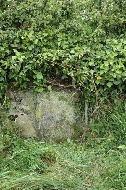
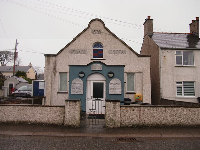
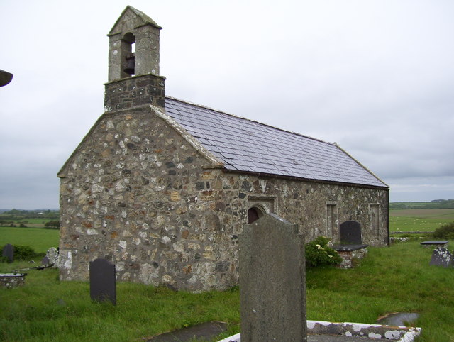
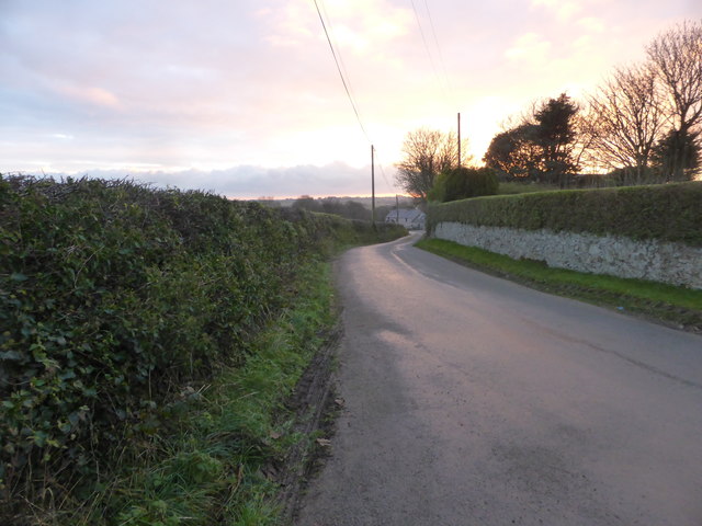
Llynfaes Images
Images are sourced within 2km of 53.279471/-4.38615 or Grid Reference SH4178. Thanks to Geograph Open Source API. All images are credited.


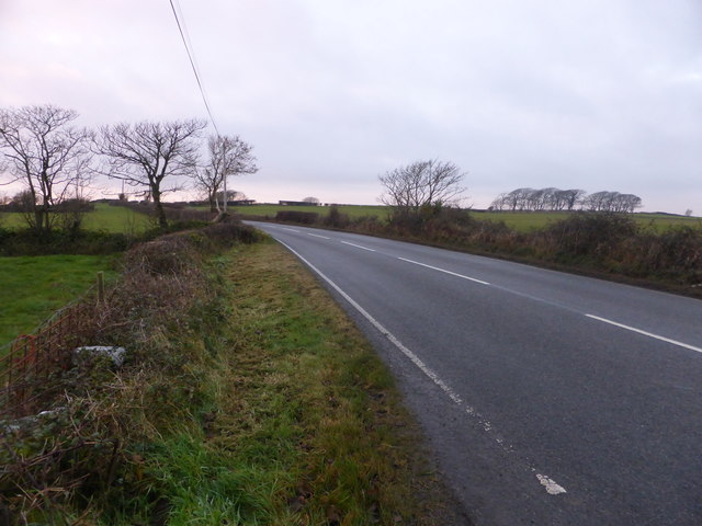
![The B5109 heading towards Llangefni In one of the Ordnance Survey's little quirks, the house appears on the 1:50,000 series, but not on the 1:25,000 series [maps viewed online].](https://s0.geograph.org.uk/geophotos/05/21/31/5213164_0d464e5f.jpg)


Llynfaes is located at Grid Ref: SH4178 (Lat: 53.279471, Lng: -4.38615)
Unitary Authority: Isle of Anglesey
Police Authority: North Wales
What 3 Words
///originals.machine.bonkers. Near Llangefni, Isle of Anglesey
Nearby Locations
Related Wikis

Llynfaes
Llynfaes is a hamlet in the community of Bodffordd, Anglesey, Wales, which is 134.3 miles (216.1 km) from Cardiff and 217.2 miles (349.5 km) from London...
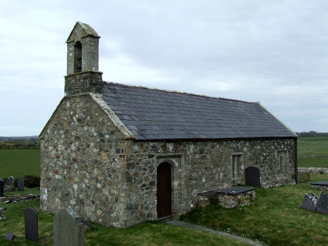
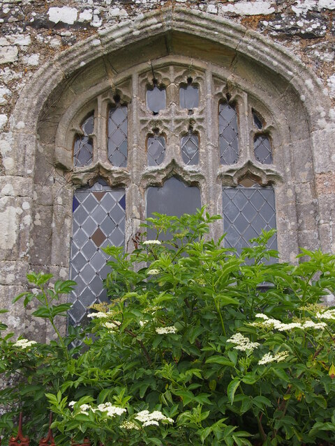
St Twrog's Church, Bodwrog
St Twrog's Church is a small rural church at Bodwrog in Anglesey, North Wales. Built in the late 15th century in a medieval style, some alterations have...
Glan-yr-afon, Bodffordd
Glan-yr-afon is a hamlet in the community of Bodffordd, Anglesey, Wales, which is 135 miles (217.3 km) from Cardiff and 218.1 miles (351 km) from London...
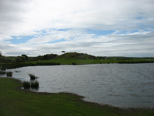
Cors Bodwrog
Cors Bodwrog is a mesotrophic mire and a Site of Special Scientific Interest (or SSSI) in Anglesey, North Wales. It has been designated as a Site of Special...
Nearby Amenities
Located within 500m of 53.279471,-4.38615Have you been to Llynfaes?
Leave your review of Llynfaes below (or comments, questions and feedback).