Llyn-dwr Hill

Settlement in Radnorshire

Wales

Llyn-dwr Hill

Straight road across Bryn Cwmyrhiwdre Almost the same viewpoint and subject as <a href="https://www.geograph.org.uk/photo/1438255">SO0784 : Road heading up Bryn Cwmyrhiwdre</a>, maybe taken 50 or 60 yards further back along the lane. The windturbines of the Penrhyddlan and Llidiarytwaun Wind Farm are just visible on the horizon.
Straight road across Bryn Cwmyrhiwdre Credit: Richard Law

The requested URL returned error: 429 Too Many Requests

If you have any feedback on the listing, please let us know in the comments section below.

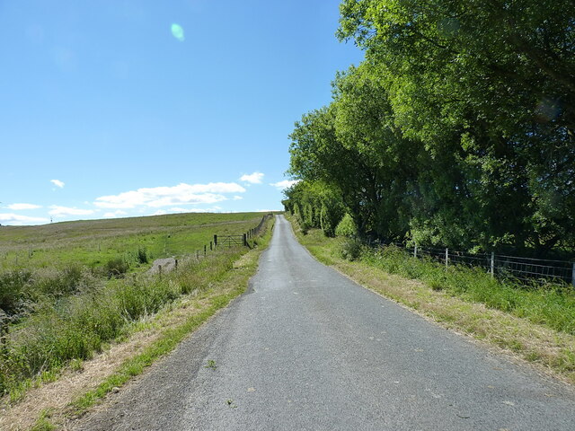
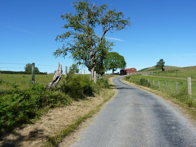
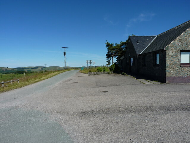
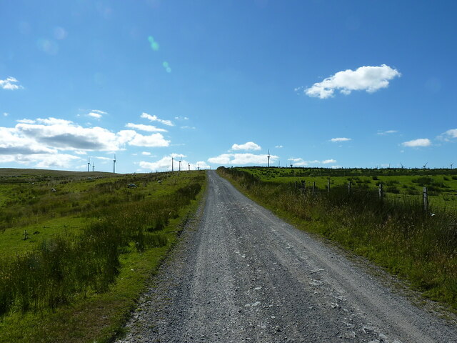
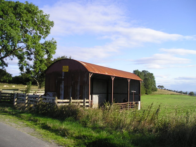
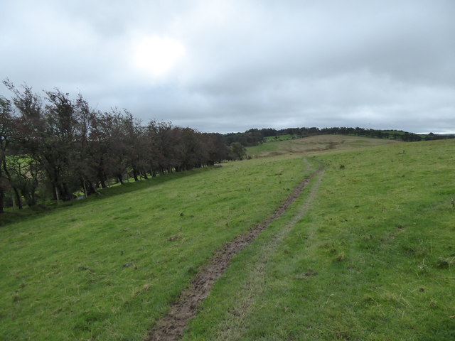
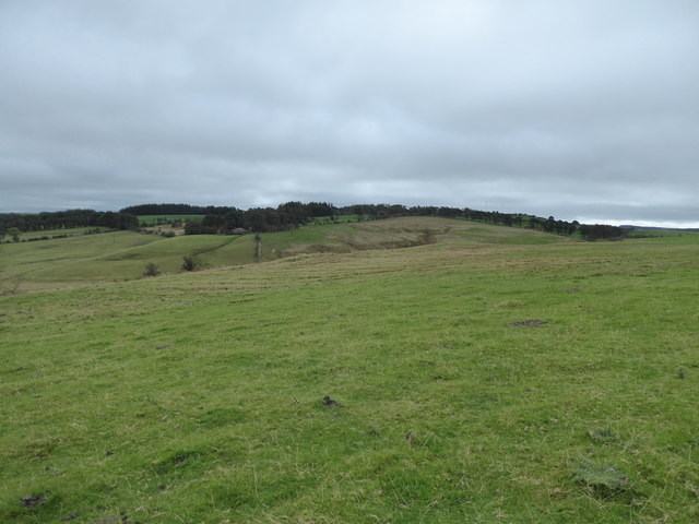
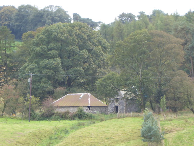
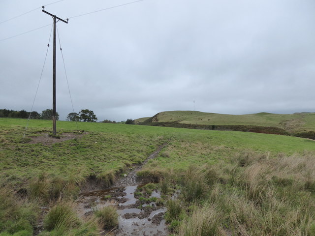
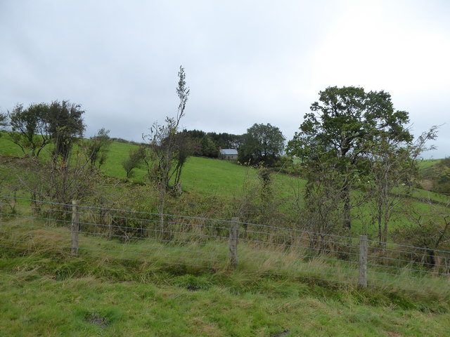
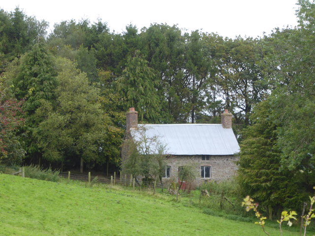
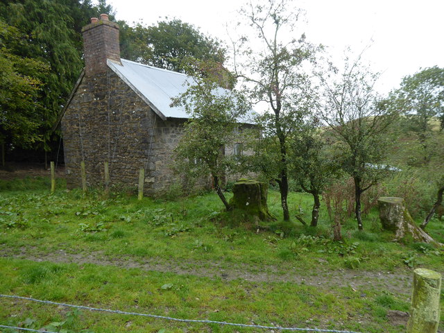
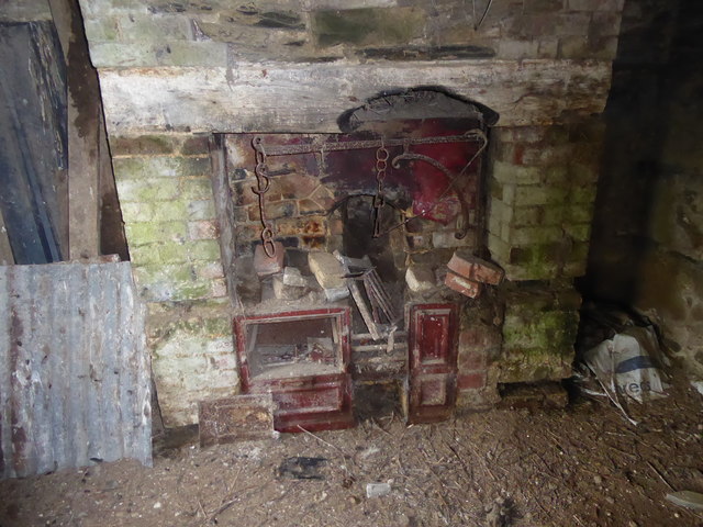
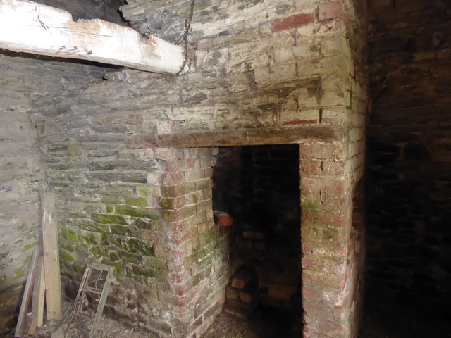
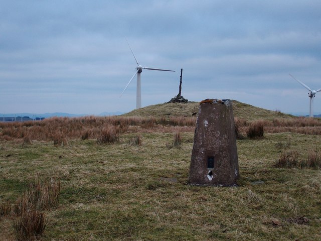
Llyn-dwr Hill Images

Images are sourced within 2km of 52.439016/-3.382076 or Grid Reference SO0683. Thanks to Geograph Open Source API. All images are credited.

Straight road across Bryn Cwmyrhiwdre Almost the same viewpoint and subject as <a href="https://www.geograph.org.uk/photo/1438255">SO0784 : Road heading up Bryn Cwmyrhiwdre</a>, maybe taken 50 or 60 yards further back along the lane. The windturbines of the Penrhyddlan and Llidiarytwaun Wind Farm are just visible on the horizon.
Straight road across Bryn Cwmyrhiwdre
Almost the same viewpoint and subject as SO0784 : Road heading up Bryn Cwmyrhiwdre, maybe taken 50 or 60 yards further back along the lane. The windturbines of the Penrhyddlan and Llidiarytwaun Wind Farm are just visible on the horizon.
Approaching the bend at Seven Wells A bit of downhill, before the next rather stiff climb up towards the Penrhyddlan and Llidiarytwaun Wind Farm on the moor to the west of here.
Approaching the bend at Seven Wells
A bit of downhill, before the next rather stiff climb up towards the Penrhyddlan and Llidiarytwaun Wind Farm on the moor to the west of here.
Hawthorn and rusty barn beside the bend at Seven Wells
Road junction at Seven Wells A parting of the ways here - the lane we're on rather peters out behind us up in the hills near the windfarm, whilst the one running right to left at the T-junction finds its way back into Newtown through the valleys and fields around Mochdre.
Road junction at Seven Wells
A parting of the ways here - the lane we're on rather peters out behind us up in the hills near the windfarm, whilst the one running right to left at the T-junction finds its way back into Newtown through the valleys and fields around Mochdre.
Road leading past the windfarm site office Presumably used as an operations centre and management post for repairs and so on at the operational windfarms a little further up the hill; it has barely changed since <a href="https://www.geograph.org.uk/photo/647254">SO0483 : Wind farm site office</a> was taken in 2008, apart from the asphalt of the carpark not looking quite so new.
Road leading past the windfarm site office
Presumably used as an operations centre and management post for repairs and so on at the operational windfarms a little further up the hill; it has barely changed since SO0483 : Wind farm site office was taken in 2008, apart from the asphalt of the carpark not looking quite so new.
Turbine debris behind the site office The broken remains of a couple of turbine blades and few pieces of scrap steel etc, awaiting proper disposal, to the rear of the windfarm office building.
Turbine debris behind the site office
The broken remains of a couple of turbine blades and few pieces of scrap steel etc, awaiting proper disposal, to the rear of the windfarm office building.
Road across the moor Gravel road across Bryn Dadlau moor, leading up to the easternmost of the turbines.
Road across the moor
Gravel road across Bryn Dadlau moor, leading up to the easternmost of the turbines.
Barn, Seven Wells
Barn, Seven Wells
Marshy little valley between me and the higher ground My first water crossing of the day's walking; successfully achieved with a little focus. One of many this day.
Marshy little valley between me and the higher ground
My first water crossing of the day's walking; successfully achieved with a little focus. One of many this day.
Footpath line beside the hedgerow Even the sheep seem to be ware of the footpath line.
Footpath line beside the hedgerow
Even the sheep seem to be ware of the footpath line.
Lower slopes of Bryn Cwmyrhiwdre Cattle pasture, so as a walker  am seeking a safe route through without confronting the herd, which at this time of year may well have a bull in with them...

Which I did. I needed to avoid the footpath line, which they straddled, and climb a barbed wire fence, jump a stream and climb a very steep hillside. 

I've had too many run-ins with such herds to risk anything else when walking alone.
Lower slopes of Bryn Cwmyrhiwdre
Cattle pasture, so as a walker am seeking a safe route through without confronting the herd, which at this time of year may well have a bull in with them... Which I did. I needed to avoid the footpath line, which they straddled, and climb a barbed wire fence, jump a stream and climb a very steep hillside. I've had too many run-ins with such herds to risk anything else when walking alone.
Old farm buildings viewed from Bryn Cwmrhiwdre Derelict or disused maybe? Interesting.
Old farm buildings viewed from Bryn Cwmrhiwdre
Derelict or disused maybe? Interesting.
Wet upland pasture with a pole An electricity pole I assume.
Wet upland pasture with a pole
An electricity pole I assume.
View to a cottage An isolated little cottage. Now empty by the look of things.
View to a cottage
An isolated little cottage. Now empty by the look of things.
Old cottage Lovely old cottage, I must go by and have a look.
Old cottage
Lovely old cottage, I must go by and have a look.
Old cottage This place has been re-roofed and made weatherproof. Maybe with a view to it becoming a holiday home? Who knows...
Old cottage
This place has been re-roofed and made weatherproof. Maybe with a view to it becoming a holiday home? Who knows...
Interior of an old cottage I tried the door and to my surprise it was open, so I strolled in and to my greater surprise I found this old range still en situ. What a gem. I wonder when it was abandoned and last inhabited? 

I've seen quite a few of these over the years - always touching and thought-provoking. And quite humbling.
Interior of an old cottage
I tried the door and to my surprise it was open, so I strolled in and to my greater surprise I found this old range still en situ. What a gem. I wonder when it was abandoned and last inhabited? I've seen quite a few of these over the years - always touching and thought-provoking. And quite humbling.
Old cottage interior What a rare survivor.
Old cottage interior
What a rare survivor.
Show me another place!

Llyn-dwr Hill is located at Grid Ref: SO0683 (Lat: 52.439016, Lng: -3.382076)

Unitary Authority: Powys

Police Authority: Dyfed Powys

Also known as: Bryn Llyndwr

What 3 Words

///surveyed.melon.shadowed. Near Mochdre, Powys

Related Wikis

Mid Wales

Mid Wales (Welsh: Canolbarth Cymru or simply Y Canolbarth, meaning "the midlands") or Central Wales is a region of Wales, encompassing its midlands, in...

Pegwn Mawr

Pegwn Mawr is a mountain in Powys, Mid Wales, east of Llanidloes. It is 586 m (1,922 ft) high. It is surrounded by a wind farm. There is a trig point...

Mochdre, Powys

Mochdre () is a small village in the community of Mochdre with Penstrowed, in Montgomeryshire, Powys, Wales. == Geography == About 3 miles (4.8 km) southwest...

Mochdre with Penstrowed

Mochdre with Penstrowed (Welsh: Mochdre gyda Phenystrywaid), or just Mochdre, is a community in Montgomeryshire, Powys, Wales. The community includes Mochdre...

Nearby Amenities

Located within 500m of 52.439016,-3.382076
Turning Circle
Lat/Long: 52.4372687/-3.3880053
Building: yes
Lat/Long: 52.4394596/-3.3854683
The data included in this document is from www.openstreetmap.org. The data is made available under ODbL.

Have you been to Llyn-dwr Hill?

Leave your review of Llyn-dwr Hill below (or comments, questions and feedback).