Llyn-y-pandy

Settlement in Flintshire

Wales

Llyn-y-pandy

The Crown Inn, Pantymwyn
The Crown Inn, Pantymwyn Credit: John H Darch

The requested URL returned error: 429 Too Many Requests

If you have any feedback on the listing, please let us know in the comments section below.
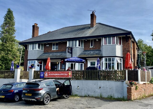
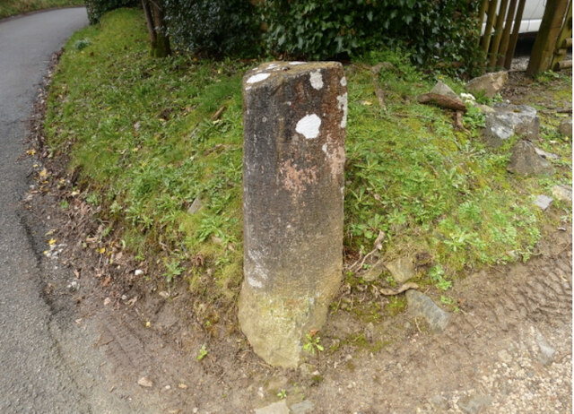
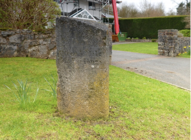
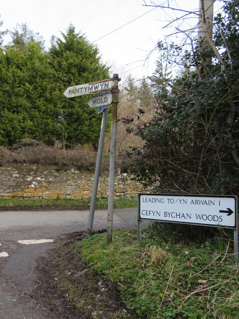
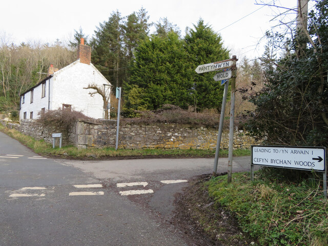
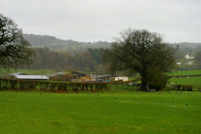
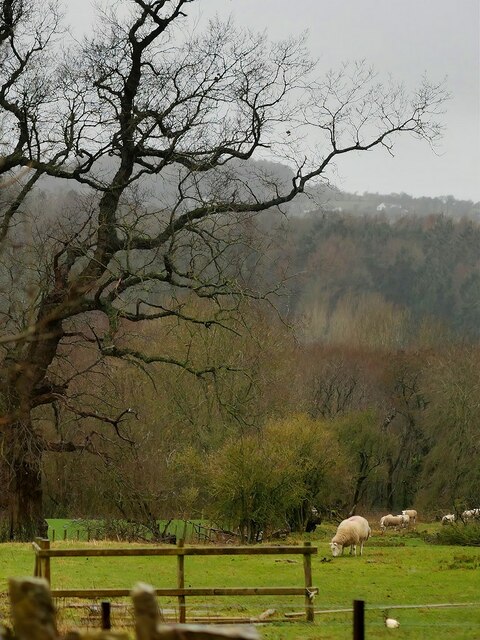
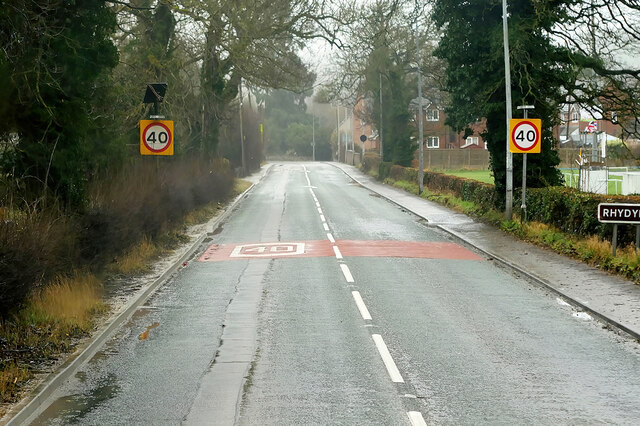
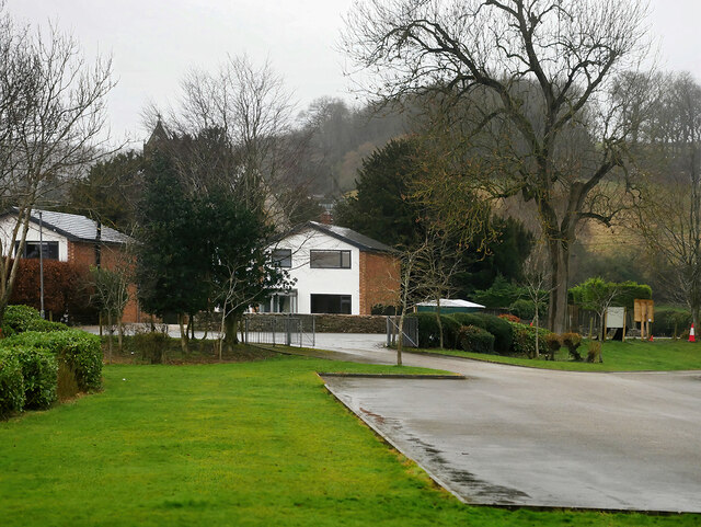
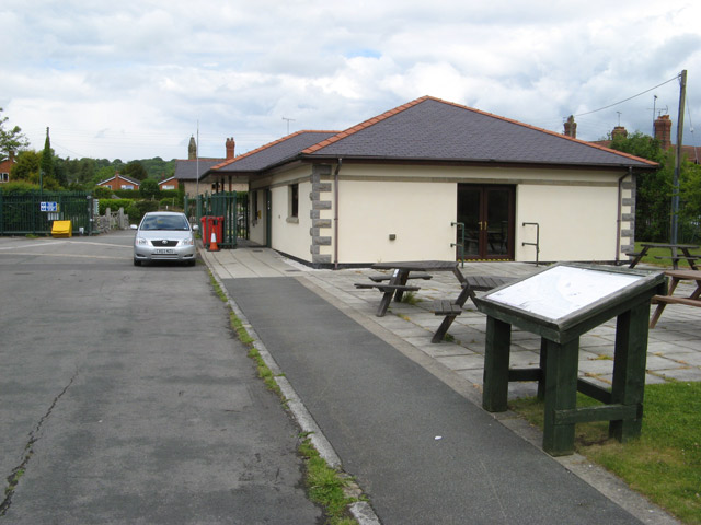
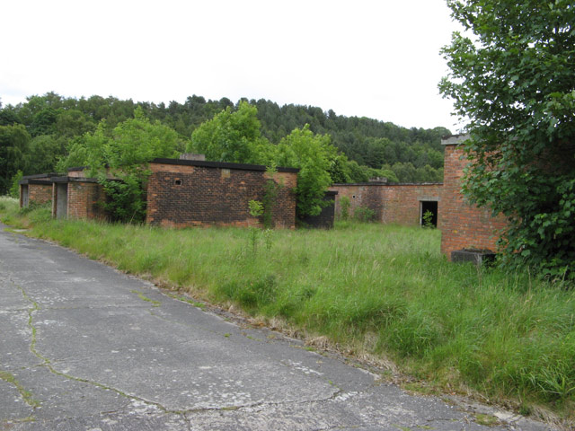
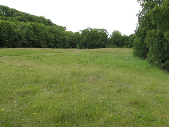
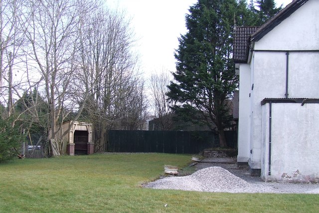
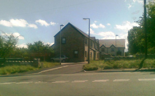
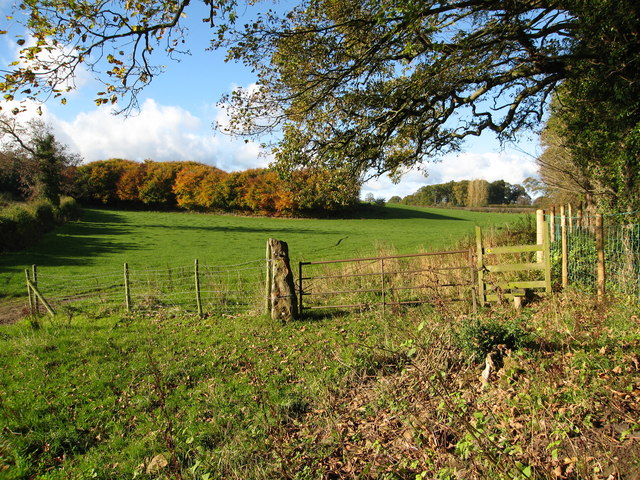
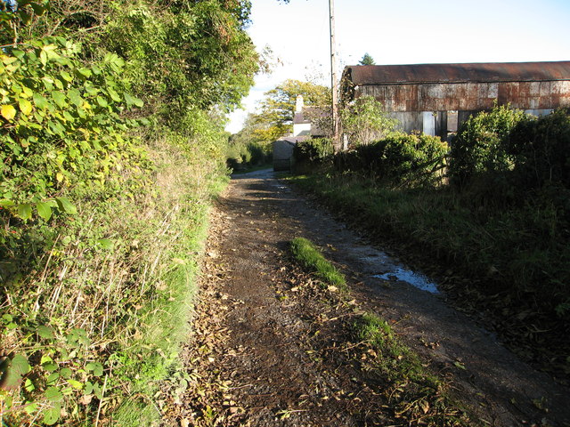
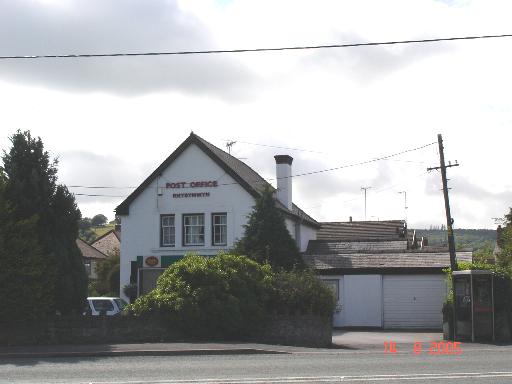
Llyn-y-pandy Images

Images are sourced within 2km of 53.181205/-3.196018 or Grid Reference SJ2065. Thanks to Geograph Open Source API. All images are credited.

The Crown Inn, Pantymwyn
Old Milestone by Cilcain Road, east of Cilcain By the UC road, in parish of Cilcain (Flintshire District), Cilcain Road; east of village and opposite road junction, on verge, in front of fence, by entrance to 'Brirod'.

Inscription reads:-
: Mold 4 : : Cilcain ½ :
Carved bench mark and rivet on top.

Grade II listed by Cadw. Reference Number: 7503
<span class="nowrap"><a title="https://cadwpublic-api.azurewebsites.net/reports/listedbuilding/FullReport?lang=&id=7503" rel="nofollow ugc noopener" href="https://cadwpublic-api.azurewebsites.net/reports/listedbuilding/FullReport?lang=&id=7503">Link</a><img style="margin-left:2px;" alt="External link" title="External link - shift click to open in new window" src="https://s1.geograph.org.uk/img/external.png" width="10" height="10"/></span>

Surveyed

Milestone Society National ID: FLT_MDCI04.
Old Milestone by Cilcain Road, east of Cilcain
By the UC road, in parish of Cilcain (Flintshire District), Cilcain Road; east of village and opposite road junction, on verge, in front of fence, by entrance to 'Brirod'. Inscription reads:- : Mold 4 : : Cilcain ½ : Carved bench mark and rivet on top. Grade II listed by Cadw. Reference Number: 7503 LinkExternal link Surveyed Milestone Society National ID: FLT_MDCI04.
Old Milestone by Cilcain Road, Pantymwyn, Gwernaffield parish Stone post by the UC road, in parish of Gwernaffield (Flintshire District), Cilcain Road; opposite Pantymwyn Post Office. NO185, on cut grass.

Inscription reads:-
: Cilcen 1 mile / 3½ Furlongs : : Mold / 3 Miles : 
Carved bench mark and pivot on top.

Grade II listed.
Reference Number: 16131 <span class="nowrap"><a title="https://cadwpublic-api.azurewebsites.net/reports/listedbuilding/FullReport?lang=&id=16131" rel="nofollow ugc noopener" href="https://cadwpublic-api.azurewebsites.net/reports/listedbuilding/FullReport?lang=&id=16131">Link</a><img style="margin-left:2px;" alt="External link" title="External link - shift click to open in new window" src="https://s1.geograph.org.uk/img/external.png" width="10" height="10"/></span>

Surveyed

Milestone Society National ID: FLT_MDCI03
Old Milestone by Cilcain Road, Pantymwyn, Gwernaffield parish
Stone post by the UC road, in parish of Gwernaffield (Flintshire District), Cilcain Road; opposite Pantymwyn Post Office. NO185, on cut grass. Inscription reads:- : Cilcen 1 mile / 3½ Furlongs : : Mold / 3 Miles : Carved bench mark and pivot on top. Grade II listed. Reference Number: 16131 LinkExternal link Surveyed Milestone Society National ID: FLT_MDCI03
Fingerpost by Cefn Bychan Road crossroads, Pantymwyn The 'no through road' to the right leads to a footpath into the Loggerheads Country Park. For a wider view see: <a href="https://www.geograph.org.uk/photo/7769336">SJ1963 : Cefn Bychan Road crossroads, Pantymwyn</a>

The 'MOLD' arm was lost by 2021.

Milestone Society National ID: FLT_SJ1963
Fingerpost by Cefn Bychan Road crossroads, Pantymwyn
The 'no through road' to the right leads to a footpath into the Loggerheads Country Park. For a wider view see: SJ1963 : Cefn Bychan Road crossroads, Pantymwyn The 'MOLD' arm was lost by 2021. Milestone Society National ID: FLT_SJ1963
Cefn Bychan Road crossroads, Pantymwyn Cefn Bychan Road crossroads with Pant y Buarth Road, Pantymwyn. There is an old fingerpost on the corner <a href="https://www.geograph.org.uk/photo/7769320">SJ1963 : Fingerpost by Cefn Bychan Road crossroads, Pantymwyn</a>
Cefn Bychan Road crossroads, Pantymwyn
Cefn Bychan Road crossroads with Pant y Buarth Road, Pantymwyn. There is an old fingerpost on the corner SJ1963 : Fingerpost by Cefn Bychan Road crossroads, Pantymwyn
Farm near Mold
Farm near Mold
Sheep Grazing in a Field off the A541 near Mold Sheep grazing unperturbed by Storm Eunice.
Sheep Grazing in a Field off the A541 near Mold
Sheep grazing unperturbed by Storm Eunice.
A541, Rhydymwyn The A541 runs for 26 miles, linking St Asaph with Wrexham. Its northern end starts at the crossroads in the middle of the village of Trefnant (just south of St Asaph). It ends at Wrexham, where it joins the B5101 road. On the way, it passes the town of Mold and also passes through many villages.
A541, Rhydymwyn
The A541 runs for 26 miles, linking St Asaph with Wrexham. Its northern end starts at the crossroads in the middle of the village of Trefnant (just south of St Asaph). It ends at Wrexham, where it joins the B5101 road. On the way, it passes the town of Mold and also passes through many villages.
Rhydymwyn Rhydymwyn is a village located in the upper Alyn valley in Flintshire. Once a district of Mold, it was recognised as a separate parish from 1865. 

The village takes its placename from the ford across the River Alyn (now replaced by a small iron bridge); the name in Welsh means 'Ford of the Ore' (<span class="nowrap"><a title="https://en.wikipedia.org/wiki/Rhydymwyn" rel="nofollow ugc noopener" href="https://en.wikipedia.org/wiki/Rhydymwyn">Link</a><img style="margin-left:2px;" alt="External link" title="External link - shift click to open in new window" src="https://s1.geograph.org.uk/img/external.png" width="10" height="10"/></span> Wikipedia).
Rhydymwyn
Rhydymwyn is a village located in the upper Alyn valley in Flintshire. Once a district of Mold, it was recognised as a separate parish from 1865. The village takes its placename from the ford across the River Alyn (now replaced by a small iron bridge); the name in Welsh means 'Ford of the Ore' (LinkExternal link Wikipedia).
Victorian letterbox in Church Lane, Gwernaffield, Flintshire A fine Victorian wall box with an enlarged opening set in a wall close to the Hand Inn, Gwernaffield.

Maker:-
W T Allen & Co London

Reference: CH7 20

Unfortunately 'Lost' between 2012 and 2016.
Victorian letterbox in Church Lane, Gwernaffield, Flintshire
A fine Victorian wall box with an enlarged opening set in a wall close to the Hand Inn, Gwernaffield. Maker:- W T Allen & Co London Reference: CH7 20 Unfortunately 'Lost' between 2012 and 2016.
17 Nant Alyn Road The new building at the Rhydymwyn Valley nature reserve which is headquarters to the North East Wales Wildlife.
17 Nant Alyn Road
The new building at the Rhydymwyn Valley nature reserve which is headquarters to the North East Wales Wildlife.
Wartime buildings Buildings remaining on the secret Rhydymwyn wartime manufacturing and supply depot which is now administered as a nature reserve.
Wartime buildings
Buildings remaining on the secret Rhydymwyn wartime manufacturing and supply depot which is now administered as a nature reserve.
Rhydymwyn nature reserve The site of the secret wartime facility has been kept free of interference for so long that it is now maintained as a nature reserve. The River Alyn used to meander across the site between the wooded slopes, but was taken into a culvert at the south-western edge and the floor of the valley levelled by taking the spoil from the creation of a series of huge underground storage levels. The suspicious contours remain from this time but grass has taken over the spoil.
Rhydymwyn nature reserve
The site of the secret wartime facility has been kept free of interference for so long that it is now maintained as a nature reserve. The River Alyn used to meander across the site between the wooded slopes, but was taken into a culvert at the south-western edge and the floor of the valley levelled by taking the spoil from the creation of a series of huge underground storage levels. The suspicious contours remain from this time but grass has taken over the spoil.
Rhydymwyn Station Site of the disused station at Rhydymwyn on the former railway line between Mold and Denbigh.
Rhydymwyn Station
Site of the disused station at Rhydymwyn on the former railway line between Mold and Denbigh.
Cae Gafna, new housing
Field and woodland Beside a footpath heading towards Gwernaffield Road
Field and woodland
Beside a footpath heading towards Gwernaffield Road
Farm track and barn near Pant Glas
Tower Lane Footpath  track off Tower Lane,Pantymwyn.
Tower Lane
Footpath track off Tower Lane,Pantymwyn.
Show me another place!

Llyn-y-pandy is located at Grid Ref: SJ2065 (Lat: 53.181205, Lng: -3.196018)

Unitary Authority: Flintshire

Police Authority: North Wales

What 3 Words

///workshop.maps.strutting. Near Mold, Flintshire

Nearby Locations

Llyn-y-pandy

Related Wikis

Rhydymwyn

Rhydymwyn (Welsh for 'Ford of the Ore') is a village in Flintshire, Wales, located in the upper Alyn valley. Once a district of Mold, it was recognised...

M. S. Factory, Valley

The M.S. (Ministry of Supply) Factory, Valley was a Second World War site in Rhydymwyn, Flintshire, Wales, that was used for the storage and production...

Ogof Hesp Alyn

Ogof Hesp Alyn (Welsh for: Dry Alyn Cave) was discovered by North Wales Caving Club in 1973 in the Alyn Gorge near Cilcain, Flintshire, Wales. Reaching...

Ogof Hen Ffynhonnau

Ogof Hen Ffynhonnau (sometimes known in English as Poacher's Cave) lies in the Alyn Gorge in Flintshire, Wales close to Ogof Hesp Alyn. It was discovered...

Nearby Amenities

Located within 500m of 53.181205,-3.196018
Power: pole
Lat/Long: 53.1838991/-3.1913663
Power: pole
Lat/Long: 53.1830022/-3.1912644
Power: pole
Lat/Long: 53.1823785/-3.191192
Power: pole
Lat/Long: 53.18148/-3.1910954
Power: pole
Lat/Long: 53.1806715/-3.1908835
Power: pole
Lat/Long: 53.1797536/-3.1906824
Power: pole
Lat/Long: 53.1787618/-3.1904383
Man Made: air_shaft
Lat/Long: 53.1845579/-3.191768
Direction: 175
Generator Method: photovoltaic
Generator Output Electricity: yes
Generator Solar Modules: 14
Generator Source: solar
Generator Type: solar_photovoltaic_panel
Location: roof
Note: smaller format
Power: generator
Lat/Long: 53.1821287/-3.1989044
The data included in this document is from www.openstreetmap.org. The data is made available under ODbL.

Have you been to Llyn-y-pandy?

Leave your review of Llyn-y-pandy below (or comments, questions and feedback).