Baynhall

Settlement in Worcestershire Malvern Hills

England

Baynhall

Milestone, A38 at Baynhall The remains of a milestone beside the A38 at Baynhall to the south of the village of Kempsey.  Since photographing this milestone it has had the plate replaced, see: <a href="https://www.geograph.org.uk/photo/3057856">SO8547 : Milestone on Baynhall</a>
Milestone, A38 at Baynhall Credit: Philip Halling

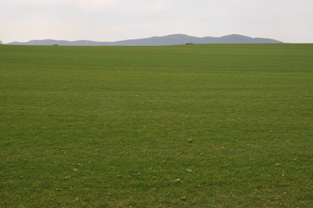
Baynhall is a small village located in the county of Worcestershire, England. Situated approximately 5 miles east of the city of Worcester, it falls within the administrative district of Wychavon. The village is nestled in a picturesque rural setting, surrounded by rolling hills and farmland.

Baynhall has a rich history that dates back to the medieval period. The name "Baynhall" is believed to derive from the Old English words "bain," meaning "bone," and "hale," meaning "nook" or "hidden place." This suggests that the village may have been a burial site or had some significance in the past.

Today, Baynhall retains its quaint and charming character. The village is primarily residential, with a small number of houses and farms scattered across its landscape. There are no shops or amenities within the village itself, but it benefits from being in close proximity to nearby towns and villages that offer a range of services.

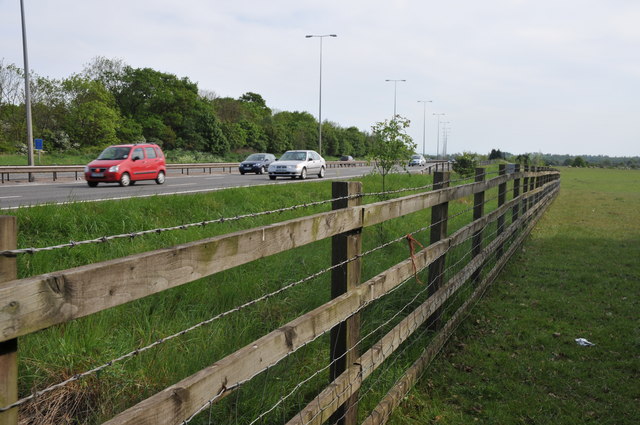
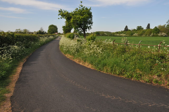
The surrounding countryside provides ample opportunities for outdoor activities such as hiking, cycling, and horseback riding. Baynhall is also well-connected by road, with the A44 and A4103 running nearby, providing easy access to Worcester and other neighboring towns.

In summary, Baynhall is a peaceful and idyllic village in Worcestershire, known for its rural beauty and historical significance. It offers a tranquil escape from the hustle and bustle of city life, while still being within easy reach of essential amenities and recreational activities.

If you have any feedback on the listing, please let us know in the comments section below.
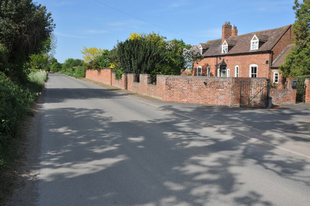
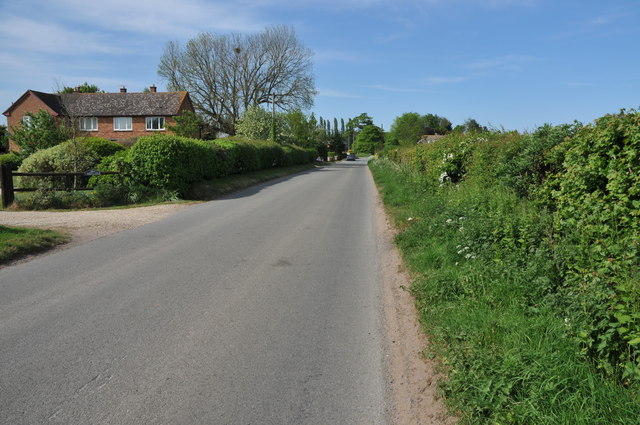
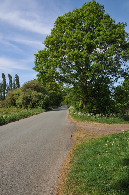
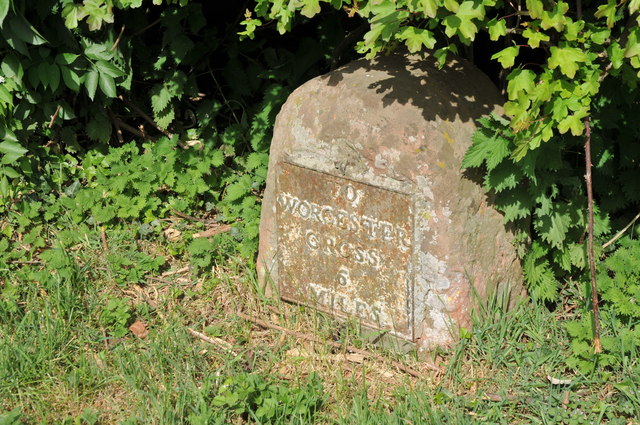
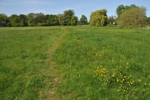
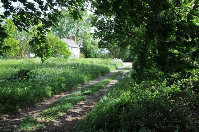
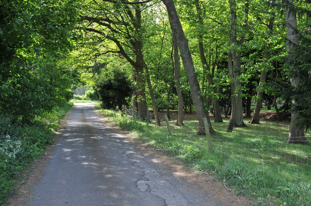
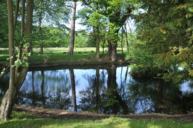
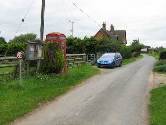
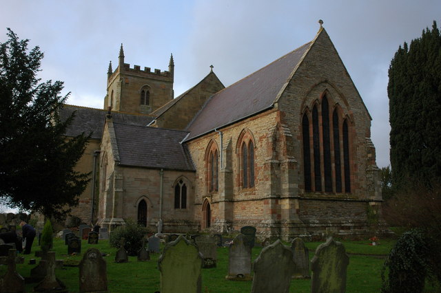
Baynhall Images

Images are sourced within 2km of 52.123835/-2.219157 or Grid Reference SO8547. Thanks to Geograph Open Source API. All images are credited.

Milestone, A38 at Baynhall The remains of a milestone beside the A38 at Baynhall to the south of the village of Kempsey.  Since photographing this milestone it has had the plate replaced, see: <a href="https://www.geograph.org.uk/photo/3057856">SO8547 : Milestone on Baynhall</a>
Milestone, A38 at Baynhall
The remains of a milestone beside the A38 at Baynhall to the south of the village of Kempsey. Since photographing this milestone it has had the plate replaced, see: SO8547 : Milestone on Baynhall
Baynhall Garage Baynhall Garage is a car dealership for Mazda, KIA and Daihatsu and is situated on the A38 to the south of Kempsey.
Baynhall Garage
Baynhall Garage is a car dealership for Mazda, KIA and Daihatsu and is situated on the A38 to the south of Kempsey.
Bus stop at Baynhall Until recently there was a bus shelter here until it was demolished, now all that remains is a seat.
Bus stop at Baynhall
Until recently there was a bus shelter here until it was demolished, now all that remains is a seat.
Netting over a hedge at Kerswell Green This curious netting appeared over this hedge about a month ago, an internet search has revealed this is likely to stop birds nesting before the hedge is grubbed out to make an entrance.  

Soon after work began on building a sewage treatment works. <a href="https://www.geograph.org.uk/photo/4093553">SO8646 : Kerswell Green sewage treatment works</a>
Netting over a hedge at Kerswell Green
This curious netting appeared over this hedge about a month ago, an internet search has revealed this is likely to stop birds nesting before the hedge is grubbed out to make an entrance. Soon after work began on building a sewage treatment works. SO8646 : Kerswell Green sewage treatment works
Netting over a hedge at Kerswell Green This curious netting appeared over this hedge about a month ago, an internet search has revealed this is likely to stop birds nesting before the hedge is grubbed out to make an entrance.
Netting over a hedge at Kerswell Green
This curious netting appeared over this hedge about a month ago, an internet search has revealed this is likely to stop birds nesting before the hedge is grubbed out to make an entrance.
Cottages at Kerswell Green Unfortunately the proximity and noise of the nearby traffic on the M5 motorway detracts from the rural scene.
Cottages at Kerswell Green
Unfortunately the proximity and noise of the nearby traffic on the M5 motorway detracts from the rural scene.
Road through Kerswell Green Cottage beside the road through Kerswell Green.
Road through Kerswell Green
Cottage beside the road through Kerswell Green.
Road through Kerswell Green
Road out of Kerswell Green Country road leaving the north end of the small hamlet of Kerswell Green near Kempsey.
Road out of Kerswell Green
Country road leaving the north end of the small hamlet of Kerswell Green near Kempsey.
Milestone in Kerswell Green Milestone on the roadside in Kerswell Green indicating it is 6 miles to Worcester Cross.
Milestone in Kerswell Green
Milestone on the roadside in Kerswell Green indicating it is 6 miles to Worcester Cross.
Normoor Common, Kerswell Green Normoor Common small piece of common land at Kerswell Green.
Normoor Common, Kerswell Green
Normoor Common small piece of common land at Kerswell Green.
Cottage on Normoor Common Cottage overlooking Normoor Common near Kerswell Green.
Cottage on Normoor Common
Cottage overlooking Normoor Common near Kerswell Green.
Road to Park Farm This is a no through road giving access to Park Farm which is on the other side of the M5 motorway.
Road to Park Farm
This is a no through road giving access to Park Farm which is on the other side of the M5 motorway.
Pond at Kerswell Green This small pond is beside a sharp bend in the road to the north of Kerswell Green.
Pond at Kerswell Green
This small pond is beside a sharp bend in the road to the north of Kerswell Green.
Traffic on the M5 motorway Traffic travelling north on the M5 motorway to the south of Worcester viewed from the footpath adjacent to the road.
Traffic on the M5 motorway
Traffic travelling north on the M5 motorway to the south of Worcester viewed from the footpath adjacent to the road.
The Malvern Hills viewed from the east The Malvern Hills viewed from the east near the M5 motorway above the village of Kempsey.  The grass in the foreground is short because it is being grown to produce lawn turf.
The Malvern Hills viewed from the east
The Malvern Hills viewed from the east near the M5 motorway above the village of Kempsey. The grass in the foreground is short because it is being grown to produce lawn turf.
Road junction at Napleton
Country Lane at Napleton Country Lane at Napleton near Kempsey.
Country Lane at Napleton
Country Lane at Napleton near Kempsey.
Show me another place!

Baynhall is located at Grid Ref: SO8547 (Lat: 52.123835, Lng: -2.219157)

Administrative County: Worcestershire

District: Malvern Hills

Police Authority: West Mercia

What 3 Words

///custom.dreading.describe. Near Kempsey, Worcestershire

Nearby Locations

Baynhall

Related Wikis

Draycott, Worcestershire

Draycott is a hamlet in the English county of Worcestershire. It is located on the A38 road due south of the city of Worcester. It forms part of the civil...

Clifton, Worcestershire

Clifton is a village in Worcestershire, England.

Kerswell Green

Kerswell Green is a village in Worcestershire, England.

Kempsey, Worcestershire

Kempsey is a village and civil parish in the Malvern Hills District in the county of Worcestershire, England. It is bounded by the River Severn on the...

Clevelode

Clevelode is a small village in Worcestershire, England. It is located around 5 miles south of Worcester just to the west of the River Severn. Clevelode...

The Rhydd

The Rhydd (formerly Rhydd Court) is an English country house alongside the River Severn, near the village of Hanley Castle, Worcestershire, about halfway...

Callow End

Callow End is a constituent village of the civil parish of Powick in the Malvern Hills District of Worcestershire, England. It is located on the B4424...

Pirton, Worcestershire

Pirton is a small village in the English county of Worcestershire. The village has been occupied since at least 1086, when Domesday listed the village...

Nearby Amenities

Located within 500m of 52.123835,-2.219157
Source: landsat photo
Lat/Long: 52.1265141/-2.2248725
Source: landsat photo
Lat/Long: 52.1257669/-2.2253014
Bus Stop
Nash Turn
Bus: yes
Naptan AtcoCode: 2000G059700
Naptan Bearing: N
Naptan CommonName: Nash Turn
Naptan Indicator: North Bound
Naptan Landmark: Baynhall Turn (Garage)
Naptan NaptanCode: wocdjwag
Naptan Street: Worcester Road
Naptan Verified: no
Public Transport: platform
Source: naptan_import
Lat/Long: 52.1255819/-2.2182204
Bus Stop
Nash Turn
Bus: yes
Naptan AtcoCode: 2000G059701
Naptan Bearing: NE
Naptan CommonName: Nash Turn
Naptan Indicator: South Bound
Naptan Landmark: Nash Turn
Naptan NaptanCode: wocdjwaj
Naptan Street: Baynhall
Naptan Verified: no
Public Transport: platform
Source: naptan_import
Lat/Long: 52.1255973/-2.2180343
Bus Stop
Baynhall Turn
Bus: yes
Fixme: Is this bus stop actually here ? Seems to close to next one, and Baynhall Turn doesn't seem to be here.
Naptan AtcoCode: 2000G323053
Naptan Bearing: S
Naptan CommonName: Baynhall Turn
Naptan Indicator: Opp
Naptan Landmark: Baynhall Turn
Naptan NaptanCode: wocdaptp
Naptan Street: Worcester Road
Naptan Verified: no
Public Transport: platform
Source: naptan_import
Lat/Long: 52.1265993/-2.2174365
Barrier: stile
Foot: yes
Lat/Long: 52.1227128/-2.2234876
Barrier: stile
Foot: yes
Lat/Long: 52.1226765/-2.2227575
Post Box
Collection Plate: CP7
Collection Times: Mo-Fr 17:15; Sa 09:30
Historic Operator: Post Office
Post Box Type: lamp
Ref: WR5 108
Royal Cypher: EIIR
Royal Cypher Wikidata: Q33102113
Lat/Long: 52.1257221/-2.2181433
Power: pole
Lat/Long: 52.119904/-2.2195883
Location Transition: yes
Power: pole
Lat/Long: 52.124068/-2.2201221
Power: pole
Lat/Long: 52.1236546/-2.2199906
Power: pole
Lat/Long: 52.1232042/-2.2200148
Power: pole
Lat/Long: 52.1205355/-2.2201717
Power: pole
Lat/Long: 52.1214265/-2.2201073
Power: pole
Lat/Long: 52.1223141/-2.2200483
Old Oak Farm
Power: pole
Transformer: distribution
Voltage Primary: 11000
Lat/Long: 52.1258151/-2.2246698
Power: pole
Lat/Long: 52.1257567/-2.2232455
Power: pole
Lat/Long: 52.1256974/-2.2217897
Power: pole
Lat/Long: 52.1257822/-2.2210313
Location Transition: yes
Power: pole
Lat/Long: 52.1252824/-2.2205244
Baynhall South
Power: pole
Transformer: distribution
Voltage Primary: 11000
Lat/Long: 52.1260341/-2.2212634
Power: pole
Lat/Long: 52.1263454/-2.2215343
Baynhall
Power: pole
Transformer: distribution
Voltage Primary: 11000
Lat/Long: 52.1272716/-2.2213908
Power: pole
Lat/Long: 52.1280805/-2.2214397
Power: pole
Lat/Long: 52.1266632/-2.2213358
Power: pole
Lat/Long: 52.1276635/-2.2213948
Marker: aerial
Operator: CLH
Operator Old: GPSS
Ref: MP 5516
Ref GPSS: 18140
Utility: oil
Lat/Long: 52.1250066/-2.2235781
Power: pole
Lat/Long: 52.1258794/-2.2199745
Power: pole
Lat/Long: 52.1258349/-2.2192115
Baynhall Main Road
Power: pole
Transformer: distribution
Voltage Primary: 11000
Lat/Long: 52.1257715/-2.2182405
The data included in this document is from www.openstreetmap.org. The data is made available under ODbL.

Have you been to Baynhall?

Leave your review of Baynhall below (or comments, questions and feedback).