Baysham
Settlement in Herefordshire
England
Baysham

Baysham is a small rural village located in the county of Herefordshire, England. Situated in the picturesque Wye Valley, it is nestled between the towns of Ross-on-Wye and Hereford. With a population of around 200 residents, it offers a tranquil and idyllic countryside setting.
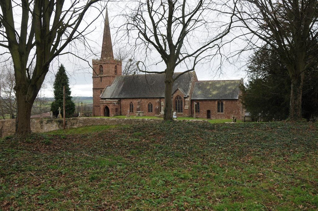
The village is characterized by its charming and historic architecture, including a number of traditional timber-framed houses and stone cottages. The centerpiece of Baysham is the St. Peter's Church, a beautiful medieval building that dates back to the 12th century. The church boasts intricate stained glass windows and a peaceful churchyard, making it a popular spot for visitors and locals alike.
Surrounded by rolling hills and lush green fields, Baysham is a haven for nature enthusiasts and outdoor lovers. The village is located near the Herefordshire Trail, a long-distance footpath that winds through the stunning Herefordshire countryside. This provides ample opportunities for scenic walks and hikes, allowing visitors to explore the area's natural beauty.
Despite its small size, Baysham is well-connected to neighboring towns and cities. The A49 road runs nearby, providing easy access to Ross-on-Wye, Hereford, and other nearby destinations. The village also benefits from a close-knit community, with regular social events and activities taking place throughout the year.
In summary, Baysham offers a peaceful and picturesque retreat in the heart of Herefordshire. With its historic architecture, natural beauty, and strong sense of community, it is a place that captures the essence of rural England.
If you have any feedback on the listing, please let us know in the comments section below.
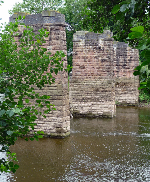
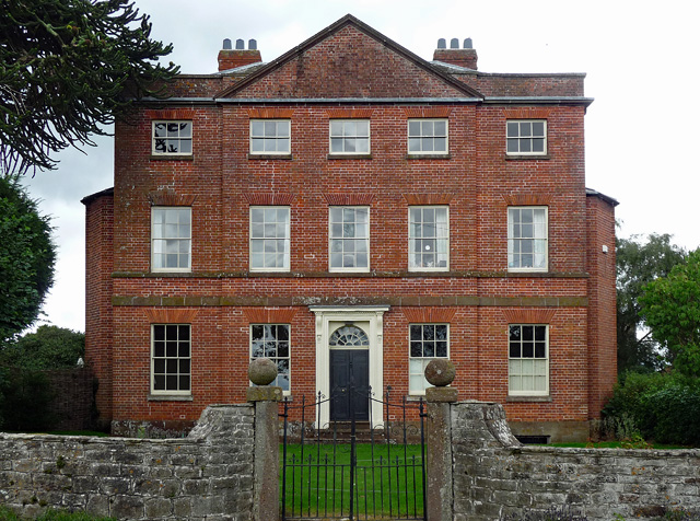
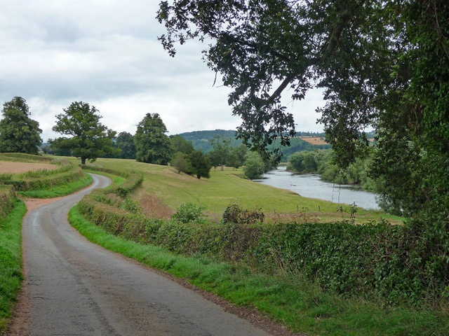
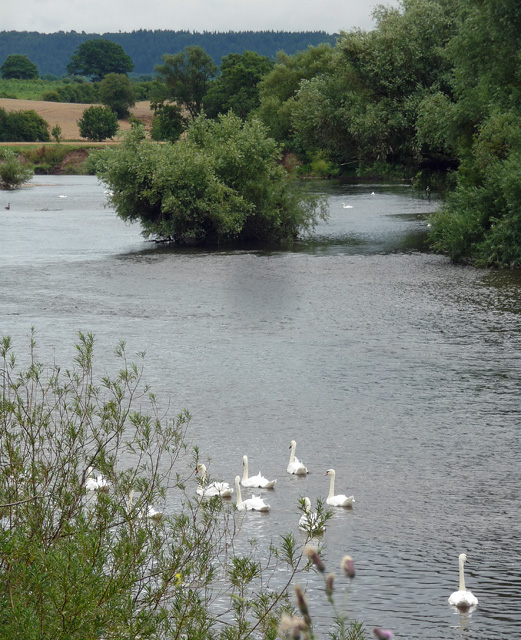
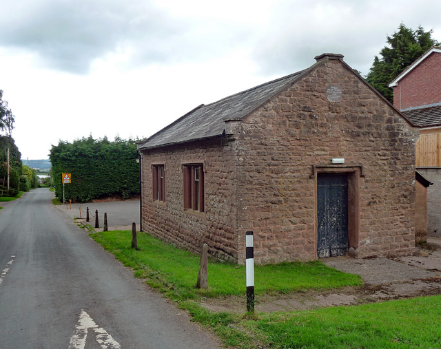
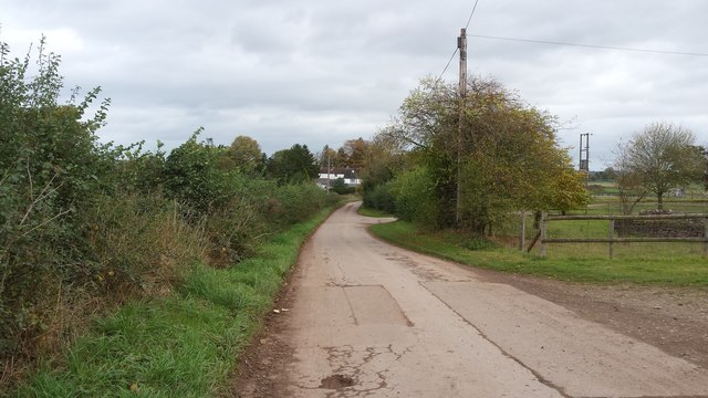
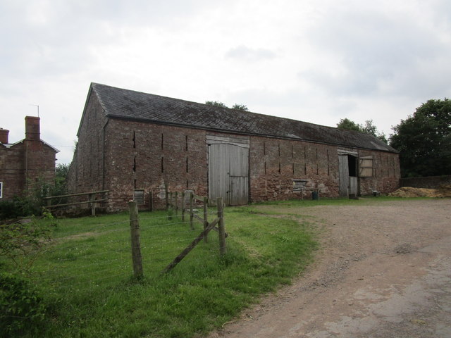
Baysham Images
Images are sourced within 2km of 51.947197/-2.619787 or Grid Reference SO5727. Thanks to Geograph Open Source API. All images are credited.


Baysham is located at Grid Ref: SO5727 (Lat: 51.947197, Lng: -2.619787)
Unitary Authority: County of Herefordshire
Police Authority: West Mercia
What 3 Words
///blushes.loyal.beep. Near Sellack, Herefordshire
Nearby Locations
Related Wikis

Sellack
Sellack is a village and rural parish in the English county of Herefordshire. It is on the River Wye three and a half miles northwest by north of Ross...
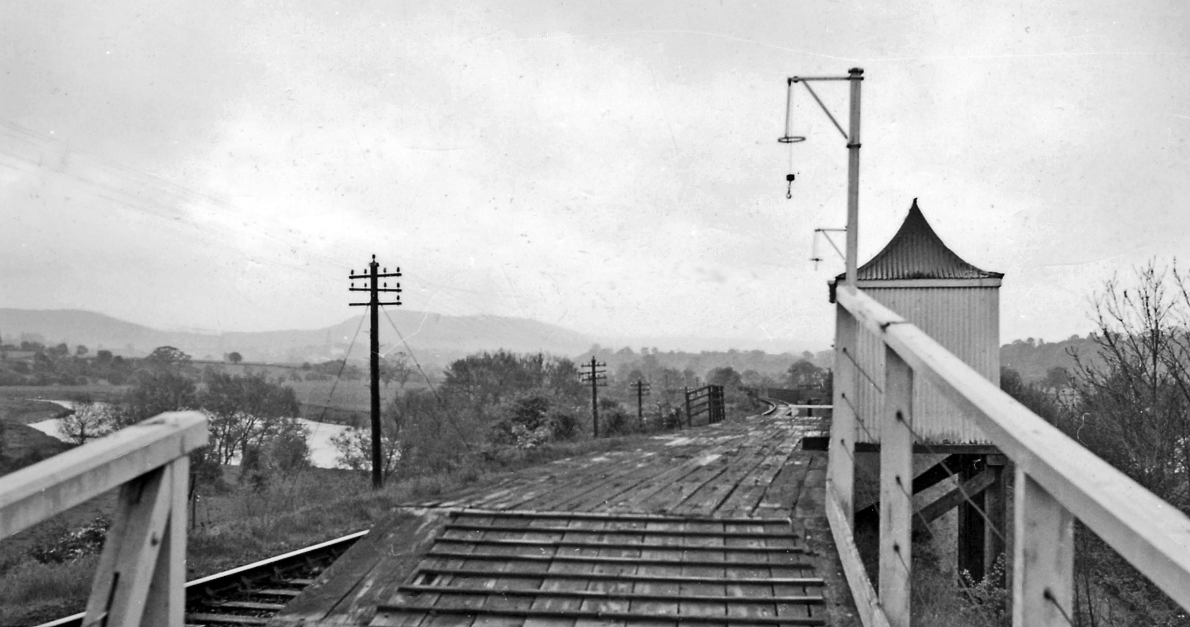
Backney Halt railway station
Backney Halt railway station was a request stop in the English county of Herefordshire. It was located on the Great Western Railway line linking Ross-on...
King's Caple
Kings Caple is a village in the largest loop of the River Wye between Hereford and Ross-on-Wye in the English county of Herefordshire. The population of...

Pen-allt
Pen-allt is a village within the parish of King's Caple in Herefordshire, England. == External links == Map sources for Pen-allt
Nearby Amenities
Located within 500m of 51.947197,-2.619787Have you been to Baysham?
Leave your review of Baysham below (or comments, questions and feedback).