Baynard's Green

Settlement in Oxfordshire Cherwell

England

Baynard's Green

The old A41, Baynard's Green
The old A41, Baynard's Green Credit: David Howard

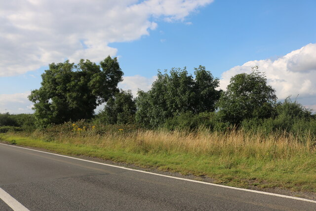
Baynard's Green is a small village located in the district of Cherwell, Oxfordshire, England. Situated approximately 10 miles northwest of the city of Oxford, it lies amidst the scenic countryside of the county. The village is surrounded by beautiful rolling hills, lush green fields, and picturesque farmland, offering a tranquil and serene environment.

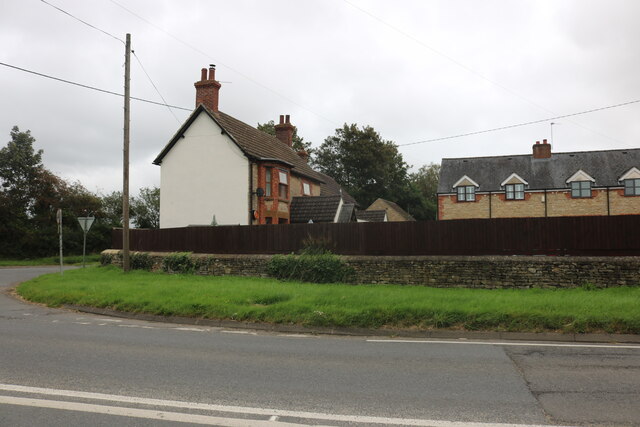
Baynard's Green is a close-knit community with a population of around 200 residents. The village is characterized by its charming cottages, some dating back to the 17th century, giving it a quintessential English countryside feel. The architecture reflects the traditional style of the region, with thatched roofs and exposed timber frames.

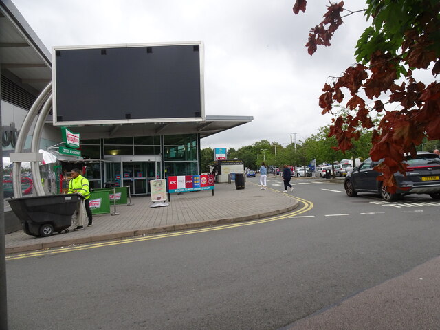
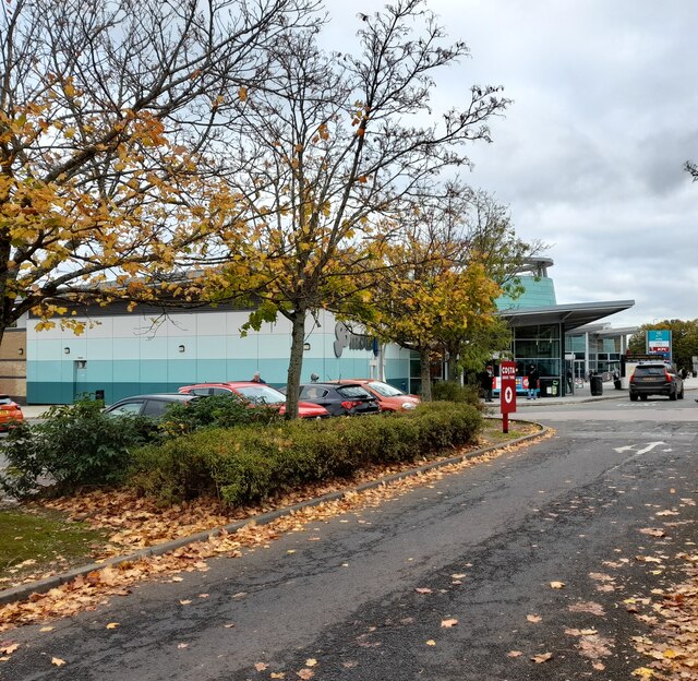
The village does not have its own facilities, such as shops or pubs, but it benefits from its proximity to neighboring towns and villages, such as Kidlington and Bicester, which provide essential amenities. Despite the absence of local amenities, Baynard's Green is cherished by its inhabitants for its peaceful atmosphere and the strong sense of community.

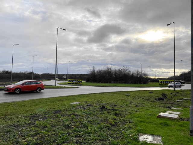
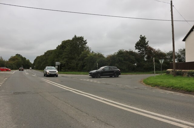
The village is well-connected by road, with the A4260 passing nearby, providing easy access to Oxford and other nearby towns. The surrounding countryside offers ample opportunities for outdoor activities, such as hiking, cycling, and horse riding.

In conclusion, Baynard's Green is a charming village nestled in the heart of Oxfordshire's countryside. With its idyllic setting, traditional architecture, and strong community spirit, it is a place that offers a peaceful haven away from the hustle and bustle of urban life.

If you have any feedback on the listing, please let us know in the comments section below.

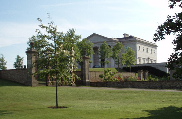
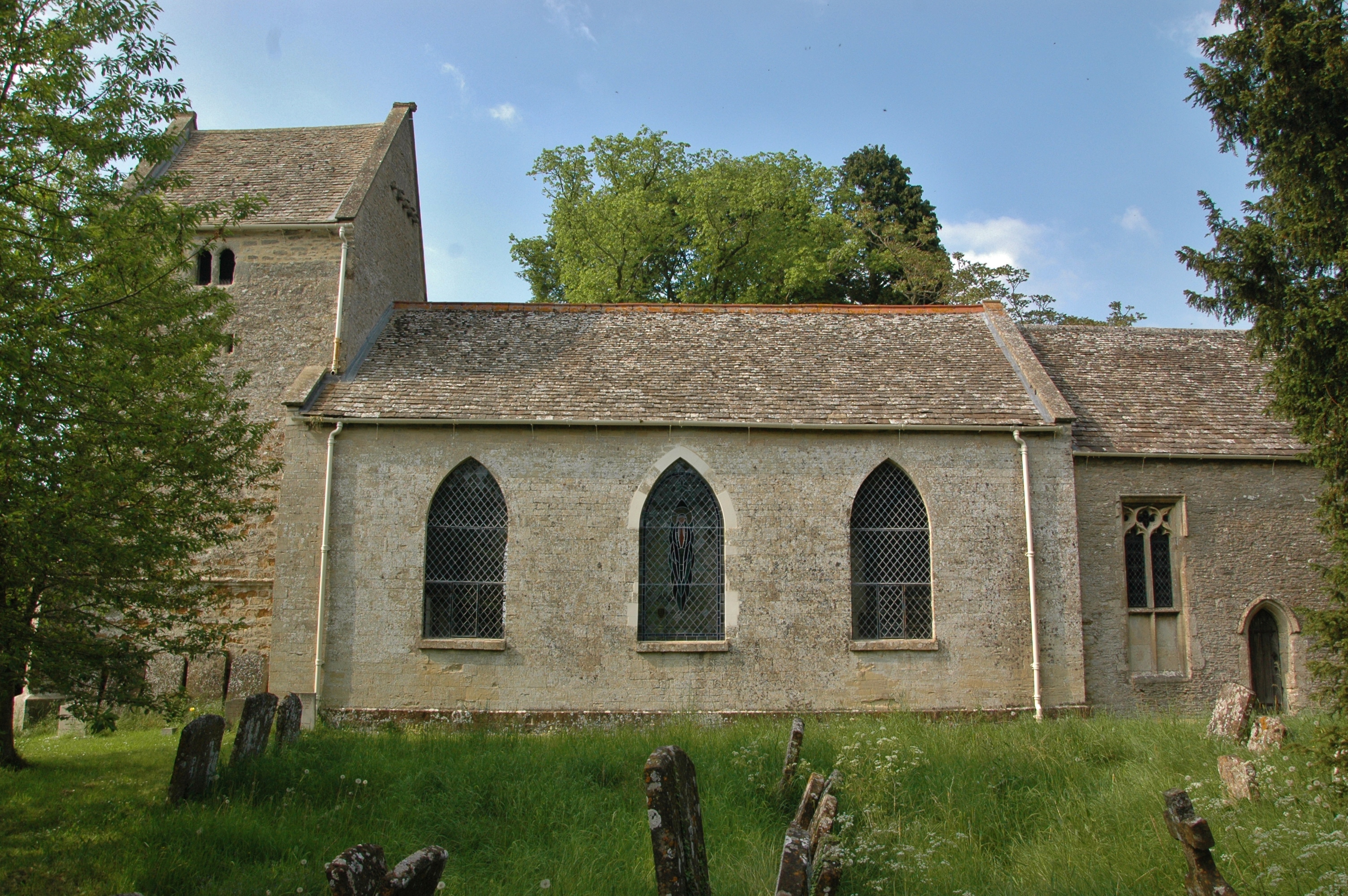
Baynard's Green Images

Images are sourced within 2km of 51.95945/-1.203899 or Grid Reference SP5429. Thanks to Geograph Open Source API. All images are credited.

The old A41, Baynard's Green
Cherwell Valley Scene  Cherwell Valley Services off junction 10 of the M40 motorway.
Cherwell Valley Scene
Cherwell Valley Services off junction 10 of the M40 motorway.
Esso petrol station in Baynard's Green
Moto Sign at Cherwell Valley Services I am a great fan of Moto.
Moto Sign at Cherwell Valley Services
I am a great fan of Moto.
Post Box at Cherwell Valley Services OX27 947. Royal Mail list this box as 'OX27 Cherwell Valley Services'. It is a Type K box.
Post Box at Cherwell Valley Services
OX27 947. Royal Mail list this box as 'OX27 Cherwell Valley Services'. It is a Type K box.
Cherwell Valley Services A modern Moto operation.
Cherwell Valley Services
A modern Moto operation.
Roundabout at Baynard's Green The roundabout is on the fairly recently improved A43.
Roundabout at Baynard's Green
The roundabout is on the fairly recently improved A43.
The A43 at Baynard's Green The A43 is a major link between the M40 and M1, and is now dual carriageway for much of its course.
The A43 at Baynard's Green
The A43 is a major link between the M40 and M1, and is now dual carriageway for much of its course.
A43 at Baynards Green
A43 exit slip at Tusmore
Junctions on Station Road, Ardley
Houses by Station Road, Ardley
A43 farm access bridge The A43 isn't a motorway but it is a major trunk link between the M40 and M1 motorways, thus it has been dualled. During this process a suitable sprinkling of quasi-interchanges and bridges were built. This mini-interchange ostensibley serves Roundhill Farm and Cottisford.
A43 farm access bridge
The A43 isn't a motorway but it is a major trunk link between the M40 and M1 motorways, thus it has been dualled. During this process a suitable sprinkling of quasi-interchanges and bridges were built. This mini-interchange ostensibley serves Roundhill Farm and Cottisford.
Bridleway nearing Park Farm Bridleway through Hermitage Belt nearing Park Farm
Bridleway nearing Park Farm
Bridleway through Hermitage Belt nearing Park Farm
Round Hill Round Hill tumulus by Roundhill Farm
Round Hill
Round Hill tumulus by Roundhill Farm
Bridleway at Horwell Corner Near Tower Fields the bridleway to Horwell Corner
Bridleway at Horwell Corner
Near Tower Fields the bridleway to Horwell Corner
B4100 north of Green Farm
Bridge over the A43
Bridge over the A43
Show me another place!

Baynard's Green is located at Grid Ref: SP5429 (Lat: 51.95945, Lng: -1.203899)

Administrative County: Oxfordshire

District: Cherwell

Police Authority: Thames Valley

What 3 Words

///turkeys.sandpaper.adopters. Near Somerton, Oxfordshire

Nearby Locations

Baynard's Green

Related Wikis

Cherwell Valley services

Cherwell Valley services is a motorway service station on the M40 motorway at Stoke Lyne, near Bicester, in Oxfordshire, England. In August 2011 it was...

Bicester Town F.C.

Bicester Town Football Club is a football club based in Bicester, Oxfordshire, England. == History == The club was established in 1873, a merger of Bicester...

Ardley United F.C.

Ardley United Football Club is a football club based in Ardley, near Bicester in Oxfordshire, England. They are members of the Combined Counties League...

Fritwell

Fritwell is a village and civil parish about 5+1⁄2 miles (9 km) northwest of Bicester in Oxfordshire. The 2011 Census recorded the parish's population...

Tusmore, Oxfordshire

Tusmore is a settlement about 5+1⁄2 miles (9 km) north of Bicester in Oxfordshire. It is the location of the Tusmore country house and estate. == Manor... ==

Stoke Lyne

Stoke Lyne is a village and civil parish about 4 miles (6.4 km) north of Bicester, Oxfordshire in southern England. == Etymology == The name Stoke Lyne...

Ardley Castle

Ardley Castle was a castle to the southwest of the village of Ardley, Oxfordshire, England. At present only some of its ruins, most notably an oval enclosure...

Ardley, Oxfordshire

Ardley is a village and civil parish in Oxfordshire, England, about 4 miles (6.4 km) northwest of Bicester. The parish includes the village of Fewcott...

Nearby Amenities

Located within 500m of 51.95945,-1.203899
Fuel
Baynards Green Services
Addr City: Bicester
Addr Postcode: OX27 7SG
Brand: Esso
Brand Wikidata: Q867662
Opening Hours: 24/7
Operator: Esso
Phone: +441869345481
Website: https://www.esso.co.uk/en-gb/find-station/esso-bicester-essoegbaynardsgreen-100200737
Lat/Long: 51.9584736/-1.2027368
Power: pole
Source: Bing
Lat/Long: 51.9601543/-1.2039231
Power: pole
Source: Bing
Lat/Long: 51.9612494/-1.2104086
Power: pole
Source: Bing
Lat/Long: 51.9623302/-1.2069169
Power: pole
Source: Bing
Lat/Long: 51.9618164/-1.2099124
Power: pole
Source: Bing
Lat/Long: 51.9626685/-1.2078951
Power: pole
Source: Bing
Lat/Long: 51.9613397/-1.2041143
Power: pole
Source: Bing
Lat/Long: 51.9624155/-1.2093903
Power: pole
Source: Bing
Lat/Long: 51.9620054/-1.205978
Power: pole
Source: Bing
Lat/Long: 51.9616813/-1.2050645
Fast Food
McDonald's
Addr City: Bicester
Addr Postcode: OX27 7SG
Brand: McDonald's
Brand Wikidata: Q38076
Brand Wikipedia: en:McDonald's
Contact Website: https://www.mcdonalds.com/gb/en-gb/location/bicester/baynards-green/baynards-green/8261524.html
Cuisine: burger
Drive Through: yes
Opening Hours: Mo-Su 06:00-23:00
Outdoor Seating: yes
Phone: +441869345325
Takeaway: yes
Lat/Long: 51.9590636/-1.2023313
Crossing
Crossing: uncontrolled
Crossing Ref: zebra
Lat/Long: 51.9590953/-1.2025472
Fast Food
Greggs
Brand: Greggs
Brand Wikidata: Q3403981
Brand Wikipedia: en:Greggs
Contact Website: https://www.greggs.co.uk/shop-finder?shop-code=3596
Cuisine: sandwich;bakery
Fixme: Check on precise locations in the building
Takeaway: yes
Lat/Long: 51.9584124/-1.202775
Vending Machine
Brand: Starbucks
Brand Wikipedia: en:Starbucks
Fixme: Check on precise locations in the building
Vending: coffee
Lat/Long: 51.9584454/-1.202893
Crossing
Crossing: uncontrolled
Crossing Ref: zebra
Lat/Long: 51.9587553/-1.2022975
Power: substation
Lat/Long: 51.959485/-1.2025228
The data included in this document is from www.openstreetmap.org. The data is made available under ODbL.

Have you been to Baynard's Green?

Leave your review of Baynard's Green below (or comments, questions and feedback).