Creag Mhòr

Coastal Feature, Headland, Point in Ross-shire

Scotland

Creag Mhòr

Old Shielings at Dirascal Abandoned shielings at Dirascal between Cravadale and Loch Reasort (water in background).
Old Shielings at Dirascal Credit: artful

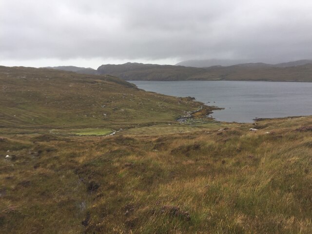
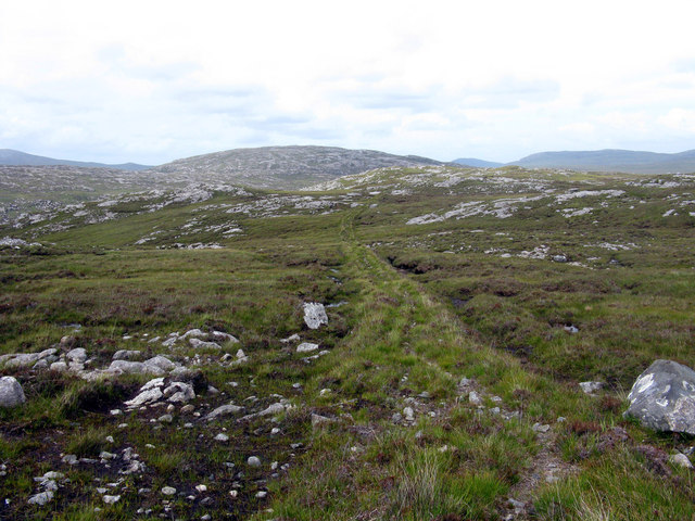
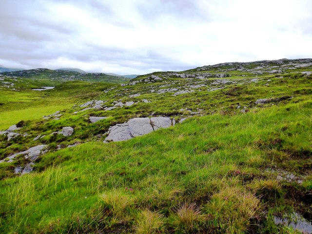
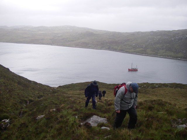
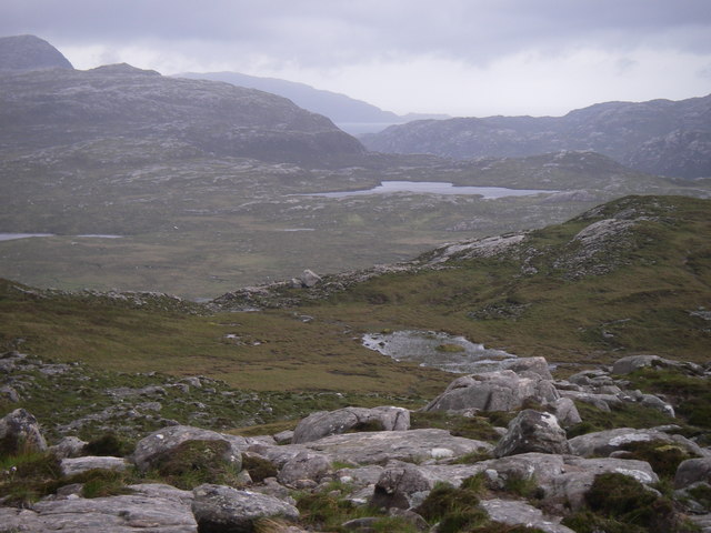
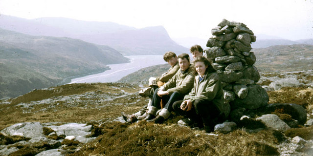
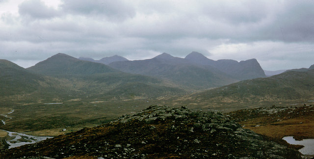
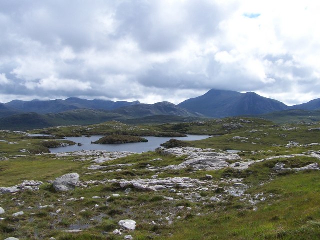
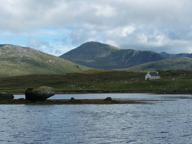
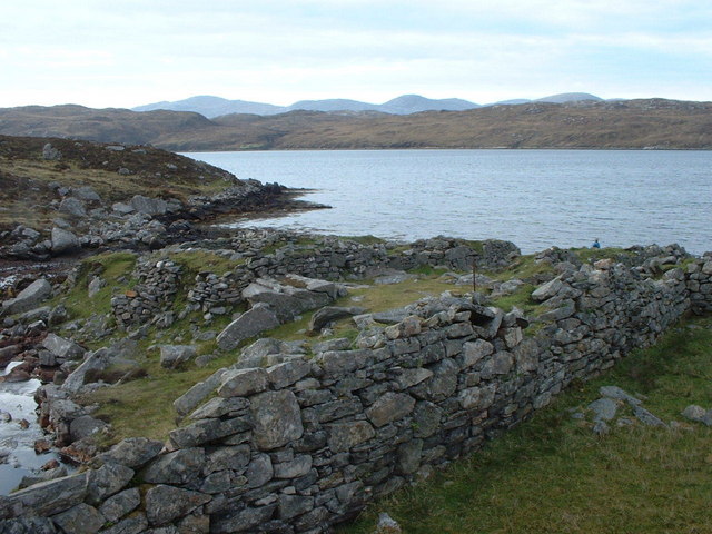
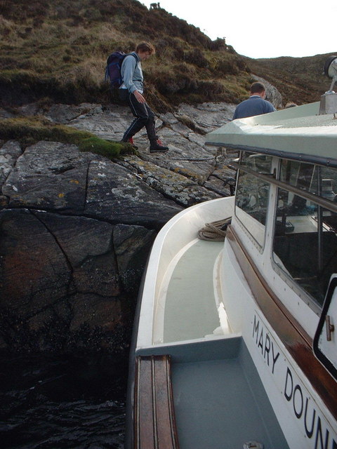
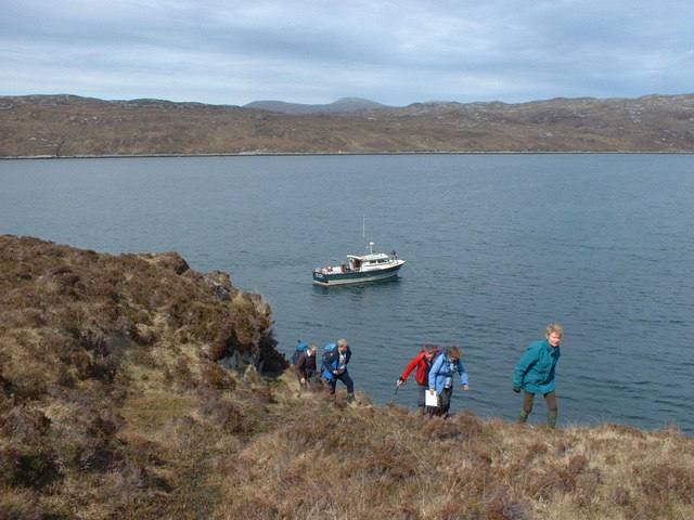
Creag Mhòr is a prominent headland located in Ross-shire, Scotland. Situated along the coastal region, it serves as a remarkable geographical feature that offers breathtaking views and natural beauty. The headland is characterized by its rugged cliffs, which rise steeply from the sea, creating a striking contrast against the surrounding landscape.

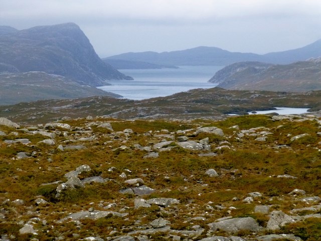
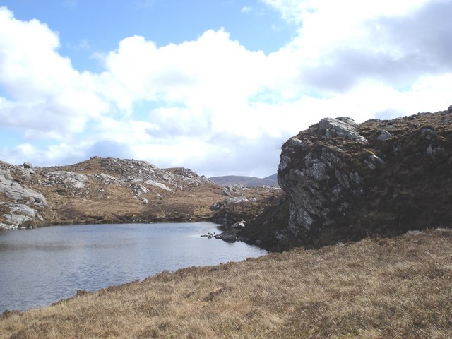
At approximately 200 feet in height, Creag Mhòr commands an impressive presence, providing an ideal vantage point for observing the surrounding coastal area. The headland offers panoramic views of the deep blue waters of the North Atlantic Ocean, as well as the picturesque coastline that stretches for miles.

The rocky terrain of Creag Mhòr is home to a diverse range of flora and fauna, making it an ideal spot for nature enthusiasts. Seabirds such as gannets, puffins, and guillemots can be spotted nesting on the cliffs, while seals and dolphins can often be seen swimming in the waters below.

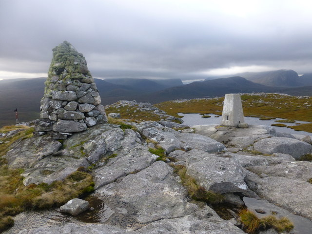
Visitors to Creag Mhòr can enjoy a variety of outdoor activities, including hiking along the well-maintained trails that lead to the summit. The headland is also a popular spot for rock climbing, providing a challenge for experienced climbers.

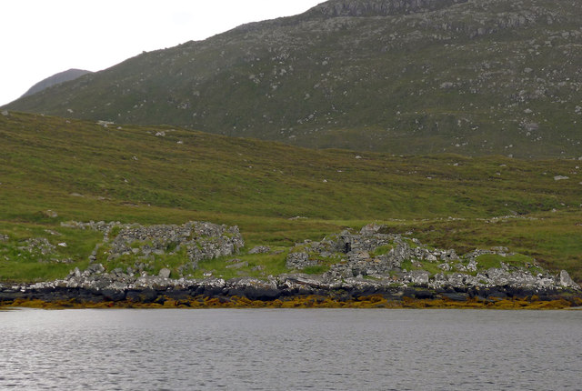
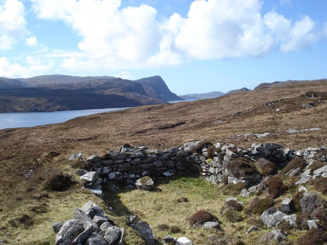
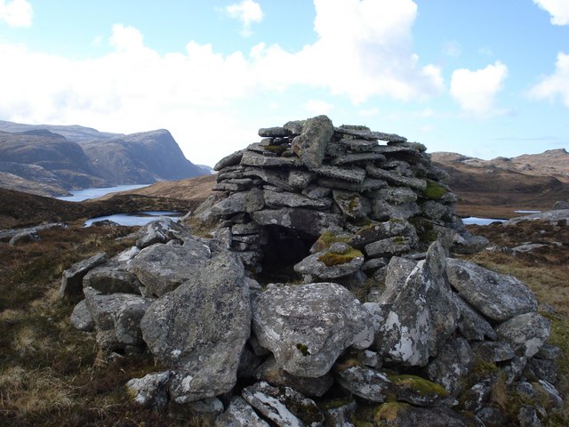
In addition to its natural beauty, Creag Mhòr holds historical significance. The headland is home to the ruins of an ancient fort, offering a glimpse into Scotland's rich heritage. The fort is believed to have been built in the Iron Age and served as a defensive structure for the local inhabitants.

Overall, Creag Mhòr is a captivating coastal feature that combines stunning natural scenery with historical intrigue, making it a must-visit destination for anyone exploring the Ross-shire region.

If you have any feedback on the listing, please let us know in the comments section below.

Creag Mhòr Images

Images are sourced within 2km of 58.050242/-6.9524797 or Grid Reference NB0717. Thanks to Geograph Open Source API. All images are credited.

Old Shielings at Dirascal Abandoned shielings at Dirascal between Cravadale and Loch Reasort (water in background).
Old Shielings at Dirascal
Abandoned shielings at Dirascal between Cravadale and Loch Reasort (water in background).
The derelict houses at Dirascal This would have been a very harsh environment to make a living.
The derelict houses at Dirascal
This would have been a very harsh environment to make a living.
Benisval Cairn and Trig Point Benisval is a remote on the Isle of Lewis to the north of Loch Resort.  It is a HuMP with a prominence of 108 metres and a height of 189 metres.  We used a RIB to motor down Loch Resort from Huisinis.
Benisval Cairn and Trig Point
Benisval is a remote on the Isle of Lewis to the north of Loch Resort. It is a HuMP with a prominence of 108 metres and a height of 189 metres. We used a RIB to motor down Loch Resort from Huisinis.
View Towards Taran Mòr A photo from below the trig point towards a distant Taran Mòr, the entrance to Loch Resort and beyond.
View Towards Taran Mòr
A photo from below the trig point towards a distant Taran Mòr, the entrance to Loch Resort and beyond.
The path from Direascal to Kinlochresort The path from Direascal to Kinlochresort was an ambitious undertaking that had not been completed when they had to abandon Direascal in 1900. When they started building the path, workers from Luachair and Direascal met at the halfway point, and each group started building a path back to their respective villages. By the time they left in 1900, the Direascal men had made good progress; the path ended on the hillside, 200 yards east of the village. But work stopped on the other section a half mile from Luachair.
The path from Direascal to Kinlochresort
The path from Direascal to Kinlochresort was an ambitious undertaking that had not been completed when they had to abandon Direascal in 1900. When they started building the path, workers from Luachair and Direascal met at the halfway point, and each group started building a path back to their respective villages. By the time they left in 1900, the Direascal men had made good progress; the path ended on the hillside, 200 yards east of the village. But work stopped on the other section a half mile from Luachair.
Southwest slopes of Corcasmol Rocky outcrops and wet peat on the slopes of Corcasmol. (The photograph also shows some of the adjacent square <a href="https://www.geograph.org.uk/gridref/NB0518">NB0518</a> - the loch in the western corner is the southern corner of Loch Bodabhat where the Abhainn Sgianuillt flows out)
Southwest slopes of Corcasmol
Rocky outcrops and wet peat on the slopes of Corcasmol. (The photograph also shows some of the adjacent square NB0518 - the loch in the western corner is the southern corner of Loch Bodabhat where the Abhainn Sgianuillt flows out)
Above Loch Resort Climbing alongside the Allt nan Uidhean Burn
Above Loch Resort
Climbing alongside the Allt nan Uidhean Burn
Mullach an Ron View towards Scarp from Mullach an Ron.
Mullach an Ron
View towards Scarp from Mullach an Ron.
Summit cairn of Beinisbhal This small hill gives a good viewpoint both up and down Loch Resort.
Summit cairn of Beinisbhal
This small hill gives a good viewpoint both up and down Loch Resort.
Benisval and southwest to the Forest of Harris Stulaval and Strone Scourst are the nearer large hills and Clisham, the highest hill of Harris peeps over the flank of Stulaval.  Benisval provides good views in all directions.
Benisval and southwest to the Forest of Harris
Stulaval and Strone Scourst are the nearer large hills and Clisham, the highest hill of Harris peeps over the flank of Stulaval. Benisval provides good views in all directions.
Loch a Fhraoich Aptly named translates as the Heather Loch.
Loch a Fhraoich
Aptly named translates as the Heather Loch.
Loch Resort Near to the head of Loch Resort where the sea loch is quite shallow there are a few large boulders such as those shown which may well have been left by a retreating glacier?
Loch Resort
Near to the head of Loch Resort where the sea loch is quite shallow there are a few large boulders such as those shown which may well have been left by a retreating glacier?
Shielings above Loch Resort A view of the shielings shown on the map at this location
Shielings above Loch Resort
A view of the shielings shown on the map at this location
Beehive cairn at NB 06572 17806 This cairn is similar but smaller to the ones on the Airigh a' Chlair Mhoir  <a href="https://www.geograph.org.uk/gridref/NB120160">NB120160</a>, and is likely to be associated with the nearby shielings. Might they be smokehouses or drying houses for fish meat or grain?
Beehive cairn at NB 06572 17806
This cairn is similar but smaller to the ones on the Airigh a' Chlair Mhoir NB120160, and is likely to be associated with the nearby shielings. Might they be smokehouses or drying houses for fish meat or grain?
Loch A Fhraoich
Loch A Fhraoich
Dirascal on shore of Loch Reasort How isolated can you get!
Dirascal on shore of Loch Reasort
How isolated can you get!
Makeshift jetty on south side of Loch Reasort One of the few places where we could land without using the inflatable.
Makeshift jetty on south side of Loch Reasort
One of the few places where we could land without using the inflatable.
South shore of Loch Reasort A useful location to start an expedition over the Forest of Harris.
South shore of Loch Reasort
A useful location to start an expedition over the Forest of Harris.
Show me another place!

Creag Mhòr is located at Grid Ref: NB0717 (Lat: 58.050242, Lng: -6.9524797)

Unitary Authority: Na h-Eileanan an Iar

Police Authority: Highlands and Islands

What 3 Words

///diver.waking.twisting. Near Tarbert, Na h-Eileanan Siar

Related Wikis

Uladail

Uladail is a location near Amhuinnsuidhe, on Harris in the Outer Hebrides, Scotland. Sron Ulladail is a sheer cliff which at 370 metres (1,210 ft) is one...

Tiorga Mor

Tiorga Mor (679 m) is a mountain in Harris, in the Outer Hebrides of Scotland. The most westerly peak of the high mountains of Harris, it is a very rugged...

Oireabhal

Oireabhal (662 m) is a mountain in Harris, in the Outer Hebrides of Scotland. The peak is the highest point on a complex ridge that runs from north to...

Chliostair Hydro-Electric Scheme

Chliostair Hydro-Electric Scheme is a small scheme promoted by the North of Scotland Hydro-Electric Board on Harris, Outer Hebrides. It consists of a single...

Nearby Amenities

Located within 500m of 58.050242,-6.9524797
Created By: dmgroom_coastlines
Lat/Long: 58.04591/-6.95204
Created By: dmgroom_coastlines
Lat/Long: 58.04703/-6.94908
Created By: dmgroom_coastlines
Lat/Long: 58.04727/-6.9481
Created By: dmgroom_coastlines
Lat/Long: 58.0475/-6.94664
The data included in this document is from www.openstreetmap.org. The data is made available under ODbL.

Have you been to Creag Mhòr?

Leave your review of Creag Mhòr below (or comments, questions and feedback).