Bodha na Roinne

Coastal Feature, Headland, Point in Ross-shire

Scotland

Bodha na Roinne

Ban Beag A distinctive cleft in the rock at Ban Beag on Mealista Island
Ban Beag Credit: JJM

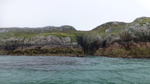
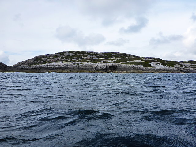
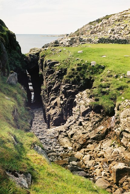
Bodha na Roinne is a prominent coastal feature located in Ross-shire, Scotland. It is classified as a headland or point due to its geographical characteristics and its jutting out into the surrounding body of water. The name "Bodha na Roinne" is derived from the local Gaelic language and translates to "Bay of the Point" in English, which accurately describes its location.

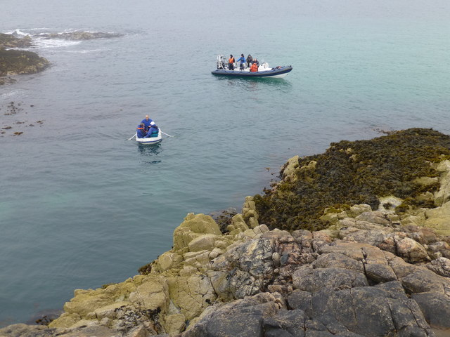
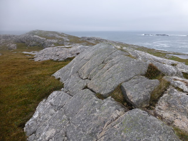
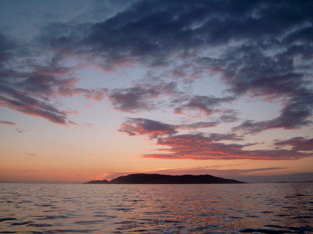
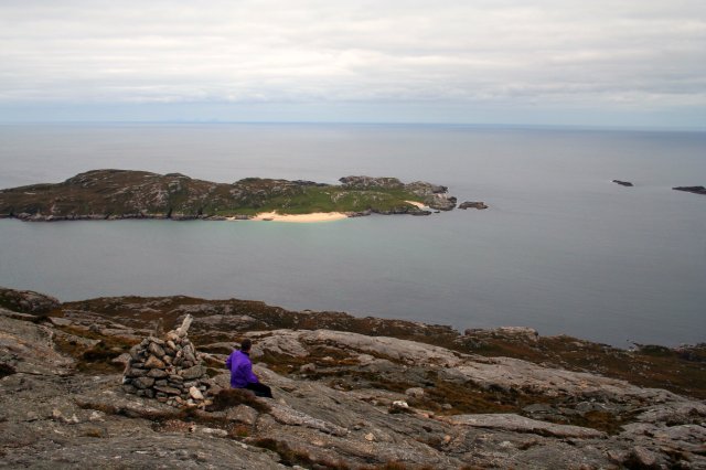
This headland is situated on the rugged coastline of Ross-shire, offering breathtaking views of the surrounding sea and landscape. With its elevated position, Bodha na Roinne serves as a natural vantage point for observing the ocean and the nearby areas.

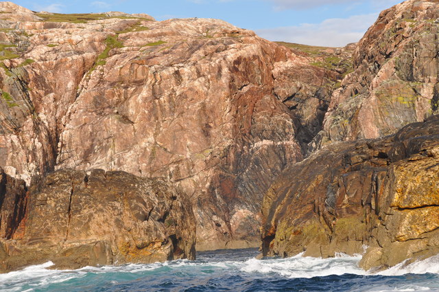
The headland is formed by the erosion of the surrounding rock and sediment over millions of years, resulting in its distinctive shape and composition. The cliffs and rock formations found in the area provide habitat for various marine animals and seabirds, creating a diverse ecosystem.

Bodha na Roinne is also known for its historical significance, as it has been used as a navigational landmark by sailors and fishermen for centuries. Its prominent position and unique features have made it a recognizable feature along the coastline.

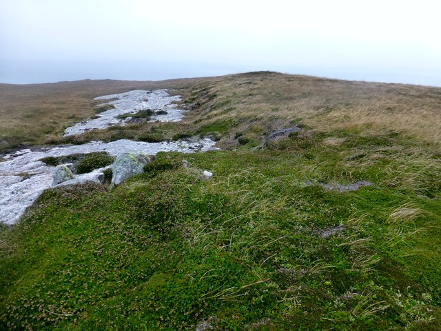
Visitors to Bodha na Roinne can enjoy hiking along the coastal paths, taking in the stunning views, and exploring the diverse flora and fauna that inhabit the area. The headland offers a tranquil and picturesque setting, providing a peaceful retreat for nature enthusiasts and those seeking a connection with the natural beauty of Ross-shire.

If you have any feedback on the listing, please let us know in the comments section below.

Bodha na Roinne Images

Images are sourced within 2km of 58.073334/-7.1220819 or Grid Reference NA9820. Thanks to Geograph Open Source API. All images are credited.

Ban Beag A distinctive cleft in the rock at Ban Beag on Mealista Island
Ban Beag
A distinctive cleft in the rock at Ban Beag on Mealista Island
Eilean Mhealasta Landing on the island of Eilean Mhealasta towards the end of a busy day bagging hills around Loch Resort by RIB. This landing point is just north of a lovely sandy beach.
Eilean Mhealasta
Landing on the island of Eilean Mhealasta towards the end of a busy day bagging hills around Loch Resort by RIB. This landing point is just north of a lovely sandy beach.
Eilean Mhealasta Coastal view on the north end of Eilean Mhealasta.
Eilean Mhealasta
Coastal view on the north end of Eilean Mhealasta.
Druim na Sgatha Bagging the high point of Eilean Mealasta by RIB with eight other island baggers.
Name: Druim na Sgatha
Hill number: 104561
Height: 77m / 253ft
Area: 24A: Lewis and Nearby Islands
Class: 0
Grid ref: NA977212 (est)
Drop: 77m
Col: Sea
Druim na Sgatha
Bagging the high point of Eilean Mealasta by RIB with eight other island baggers. Name: Druim na Sgatha Hill number: 104561 Height: 77m / 253ft Area: 24A: Lewis and Nearby Islands Class: 0 Grid ref: NA977212 (est) Drop: 77m Col: Sea
Eastern Coast Of Eilean Mealasta A rocky inlet on the eastern side of the island of Eilean Mealasta to the west of Lewis.
Eastern Coast Of Eilean Mealasta
A rocky inlet on the eastern side of the island of Eilean Mealasta to the west of Lewis.
Sgeir Ghlas na Roinne This is the southernmost tip of Mealasta Island
Sgeir Ghlas na Roinne
This is the southernmost tip of Mealasta Island
Rubha Leacach Southwest corner of Mealasta Island
Rubha Leacach
Southwest corner of Mealasta Island
View of the Lewis mainland to Mealasta Island from the Island of Liongam
View from the Island of Liongam to the North Harris Hills
Looking South over the lochan to Scarp and beyond from the Island of Liongam
Looking East to the Lewis mainland from the Island of Liongam
A View looking South over the Island of Liongam to Scarp, the North Harris Hills and Taransay beyond
Mhealasta beach
Mhealasta beach
Mhealista Island This photograph was taken at Midnight as the last vestiges of daylight disappeared into the Western Atlantic
Mhealista Island
This photograph was taken at Midnight as the last vestiges of daylight disappeared into the Western Atlantic
Laimhrig na Seoraid Mealista Island Laimhrig means loosely a landing place or temporary harbour
Laimhrig na Seoraid Mealista Island
Laimhrig means loosely a landing place or temporary harbour
West ridge of Griomabhal Looking out to Eilean Mhealasta - and St Kilda, way out on the horizon
West ridge of Griomabhal
Looking out to Eilean Mhealasta - and St Kilda, way out on the horizon
Gully Between Aird Ghriamanais and Aird Dhrolai geodha.
Gully
Between Aird Ghriamanais and Aird Dhrolai geodha.
Show me another place!

Bodha na Roinne is located at Grid Ref: NA9820 (Lat: 58.073334, Lng: -7.1220819)

Unitary Authority: Na h-Eileanan an Iar

Police Authority: Highlands and Islands

What 3 Words

///scuba.truffles.overhear. Near Tarbert, Na h-Eileanan Siar

Related Wikis

Eilean Mhealasta

Eilean Mhealasta (Mealista Island) is an uninhabited island off the west coast of Lewis in the Outer Hebrides of Scotland. It takes its name from Mealista...

Game pieces of the Lewis chessmen hoard

The game pieces of the Lewis chessmen hoard consist of ninety-three game pieces of the Lewis chessmen found on the Isle of Lewis in the Outer Hebrides...

Mealista

Mealista (Scottish Gaelic: Mealasta) was a township in the west of the Isle of Lewis. It is currently largely uninhabited due to the Highland Clearances...

Scarp, Scotland

Scarp (Scottish Gaelic: An Sgarp) is an uninhabited island in the Outer Hebrides of Scotland, west of Hushinish on Harris. Once inhabited, the island was...

Nearby Amenities

Located within 500m of 58.073334,-7.1220819
Geodha an Ear na Roinne
Natural: bay
Lat/Long: 58.0732303/-7.1190599
The data included in this document is from www.openstreetmap.org. The data is made available under ODbL.

Have you been to Bodha na Roinne?

Leave your review of Bodha na Roinne below (or comments, questions and feedback).